


 Recommend YouTube


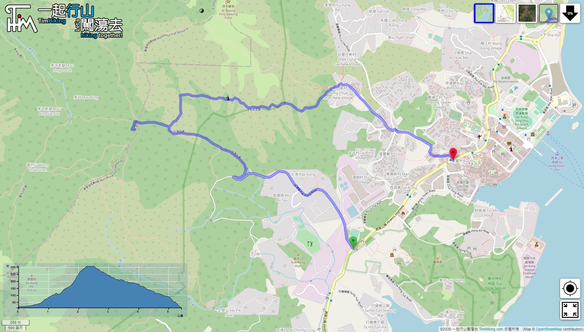


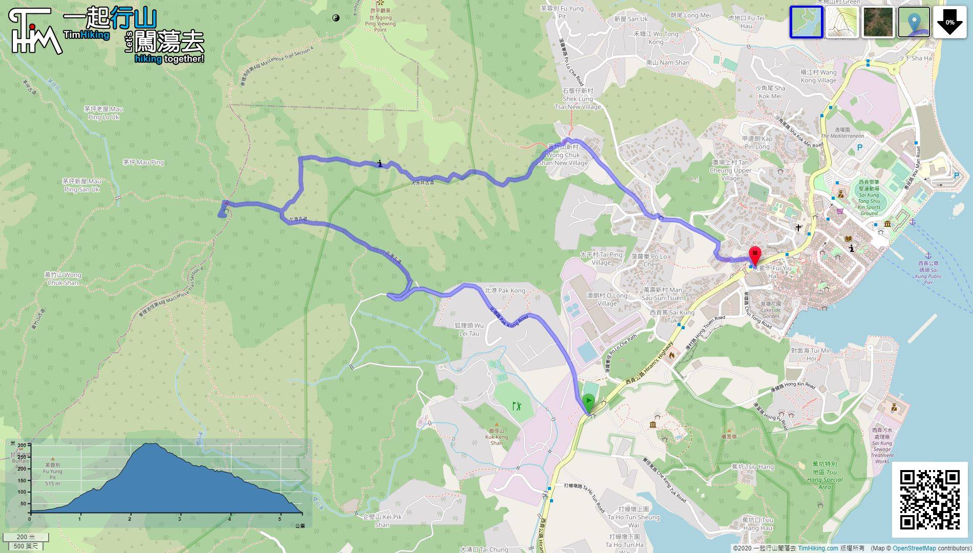
| View : |  | ||
| Difficulty : |  | ||
| Path : | |||
| Length : | 5.4km | ||
| Time : | 2hours | ||
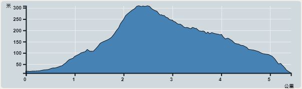 | |
| Ascent : 347m | Descent : 357m |
| Max : 308m | Min : 11m |
| (The accuracy of elevation is +/-30m) | |


 9︰then turn right at the next fork.
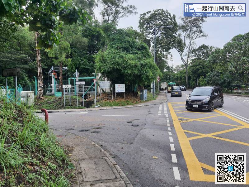
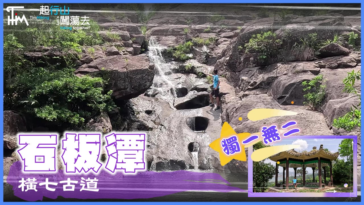
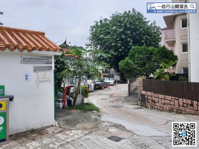
The starting point is Pak Kong, the most convenient way is to take the minibus at Sai Kung Pier and get off at Pak Kong.
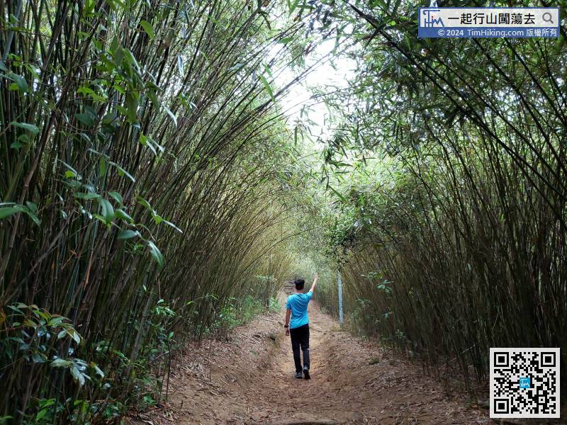
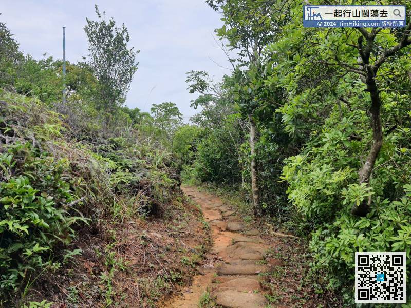
12︰Pak Kong Ancient Trail is an official route, whole route with clear signs,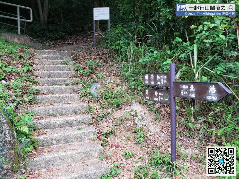
Pak Kong Ancient Trail is an official route, whole route with clear signs,
24︰Walking one after another of the large stone steps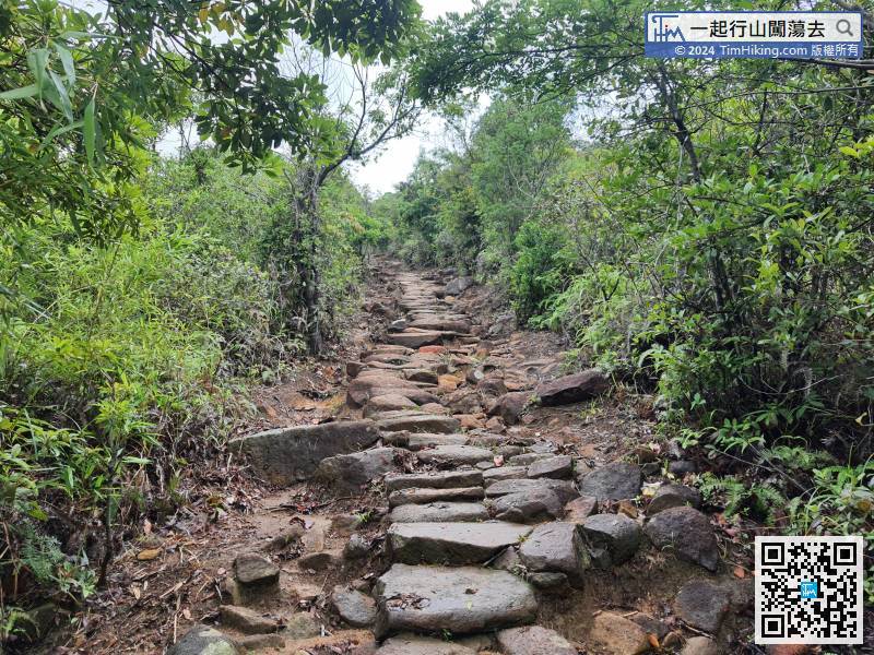
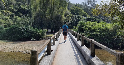
Leave Bamboo Tunnel, and continue along the big stone-level trail to Mau Ping.
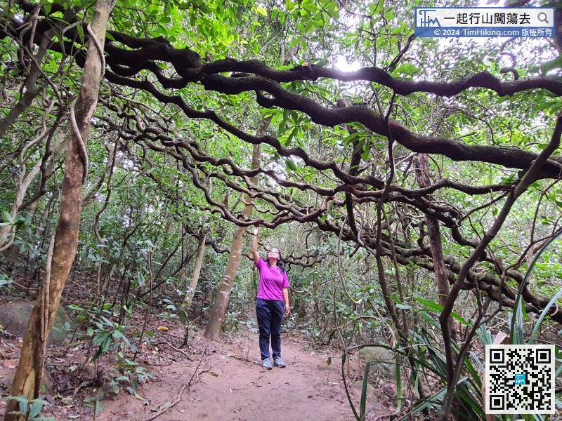
33︰Just a few steps, can already see the Giant Beans crisscrossing each other, forming a Giant Bean Tunnel.
Just a few steps, can already see the Giant Beans crisscrossing each other, forming a Giant Bean Tunnel.
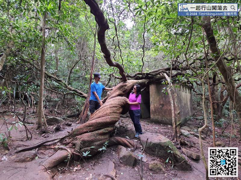
40︰After seeing The King of Giant Bean, go back to the grassland.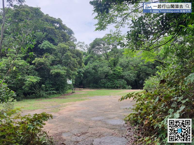


