


 Recommend YouTube


| View : |  | ||
| Difficulty : |  | ||
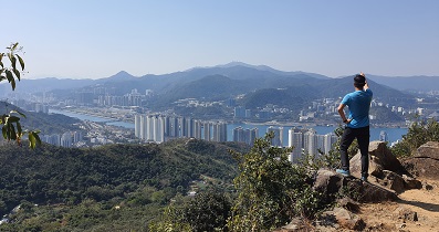
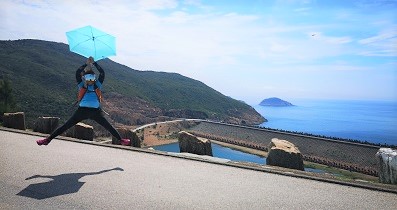
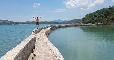
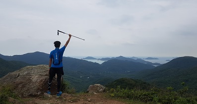
| Path : | |||
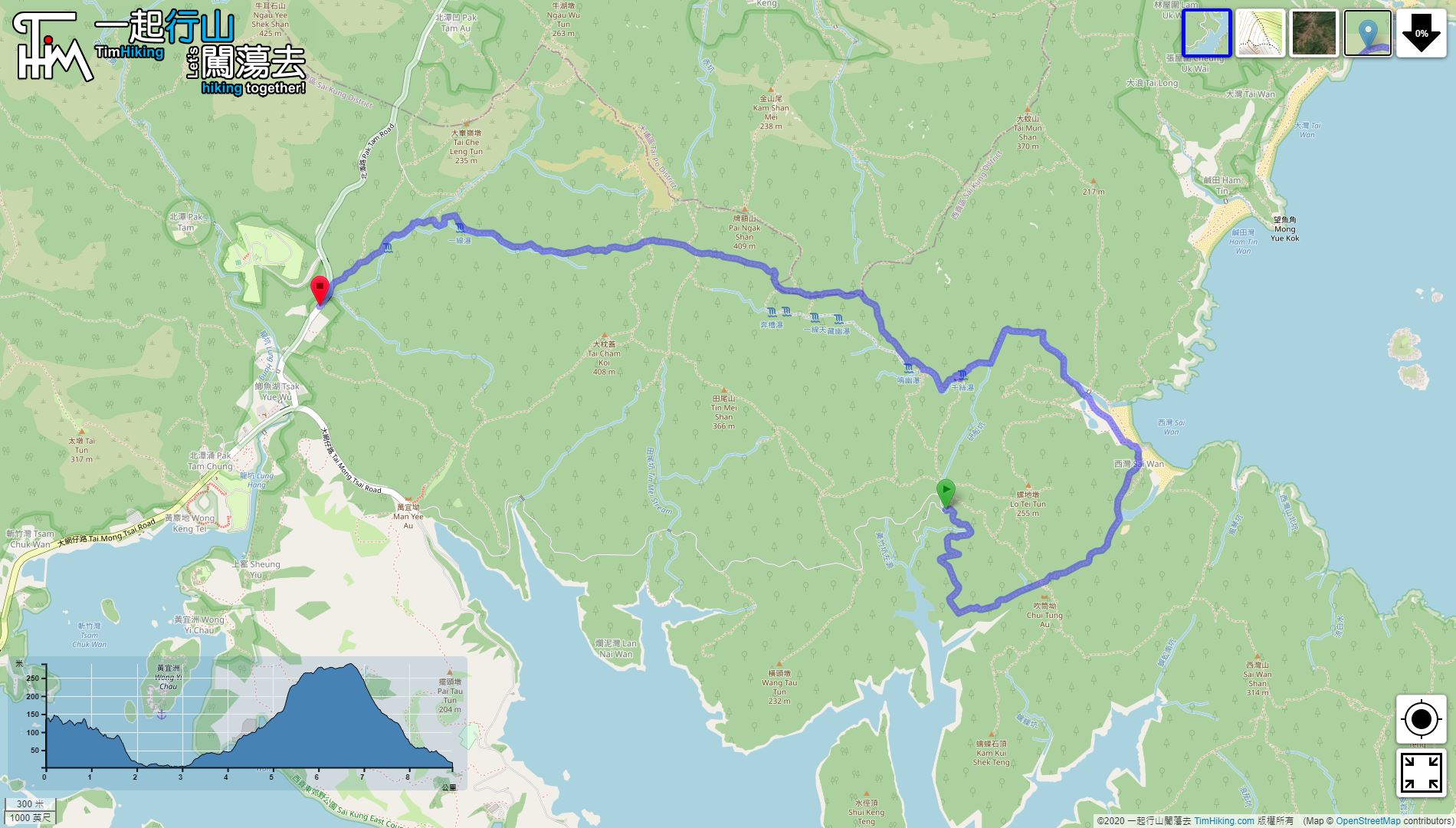
| Length : | 9km | ||
| Time : | 6hours | ||
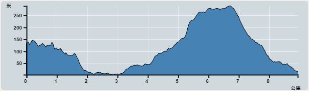 | |
| Ascent : 445m | Descent : 569m |
| Max : 289m | Min : 2m |
| (The accuracy of elevation is +/-30m) | |


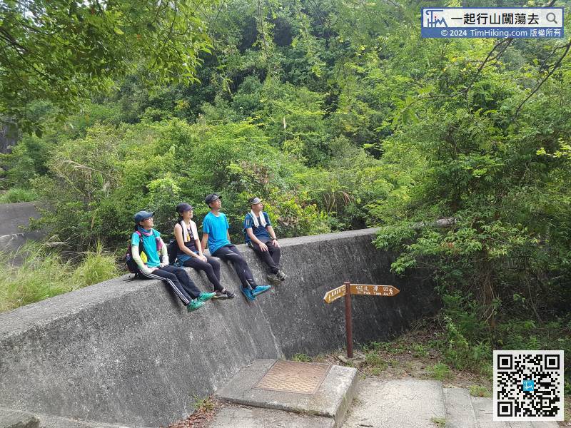
 San Wan Store
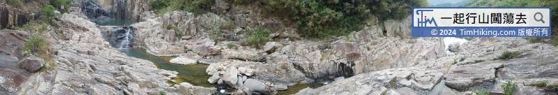
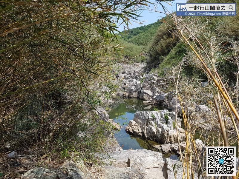
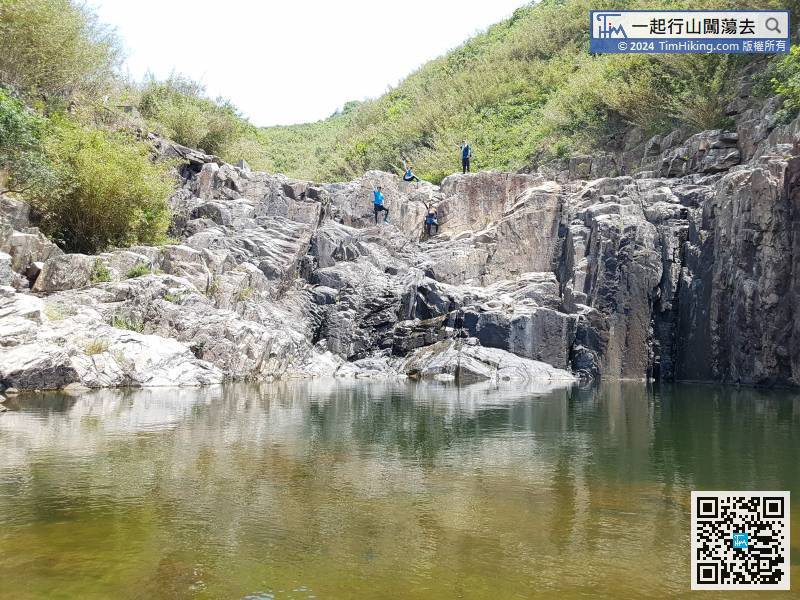
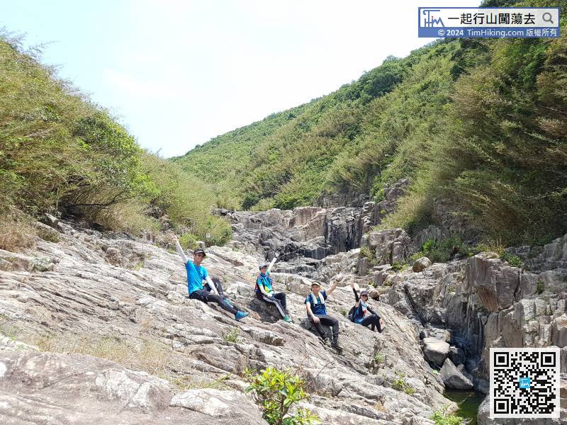
SheungThe fourth pool of Sheung Lok Four Pools is smaller;
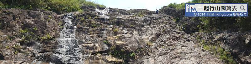
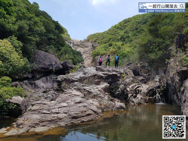
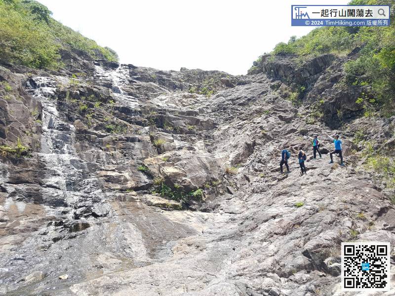
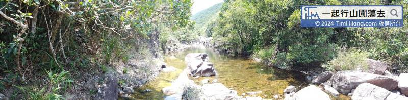
After walking in the stream for about 1.5 hours, a huge cliff appeared in front,
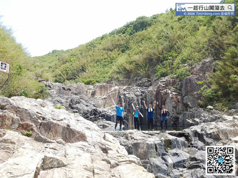
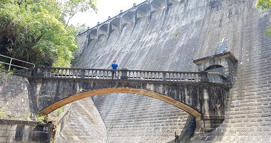
So, climb to the right heading to the right of the dam.


