


 Recommend YouTube


| View : |  | ||
| Difficulty : |  | ||
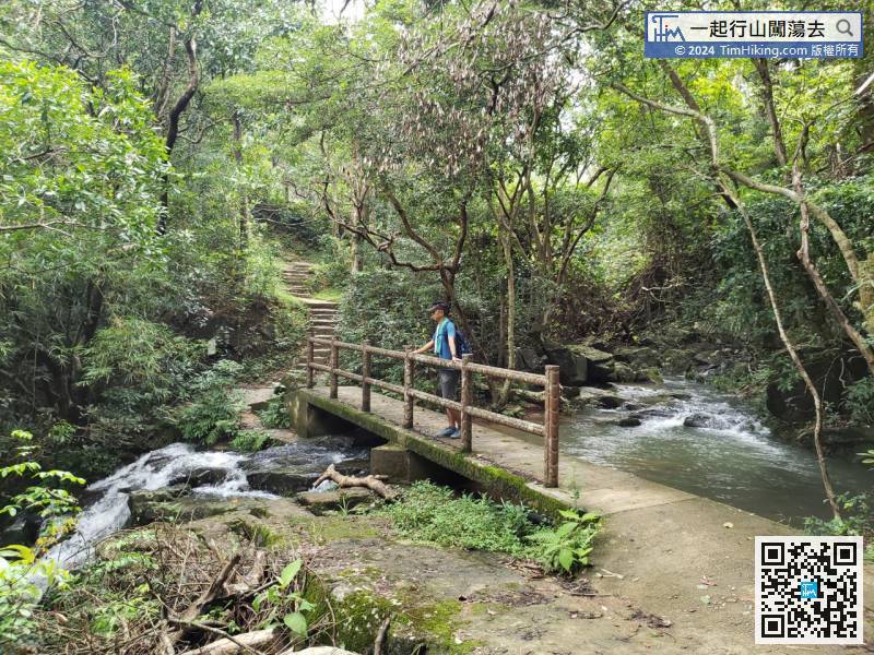
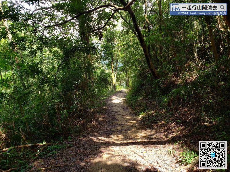
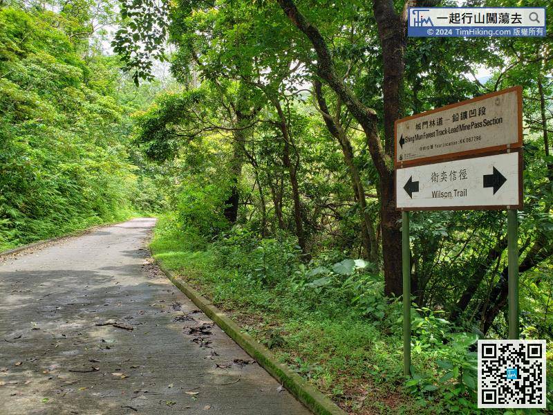
| Path : | |||
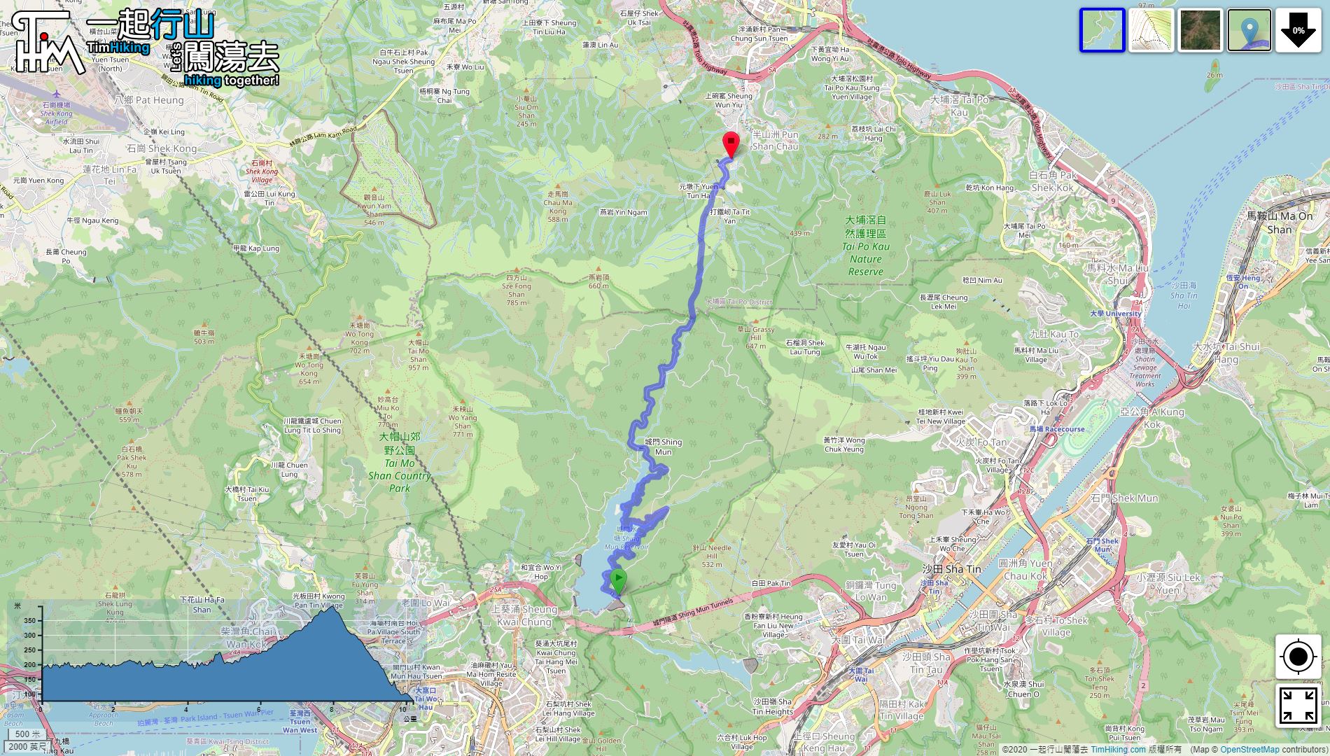
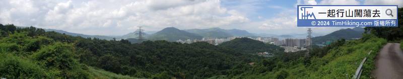
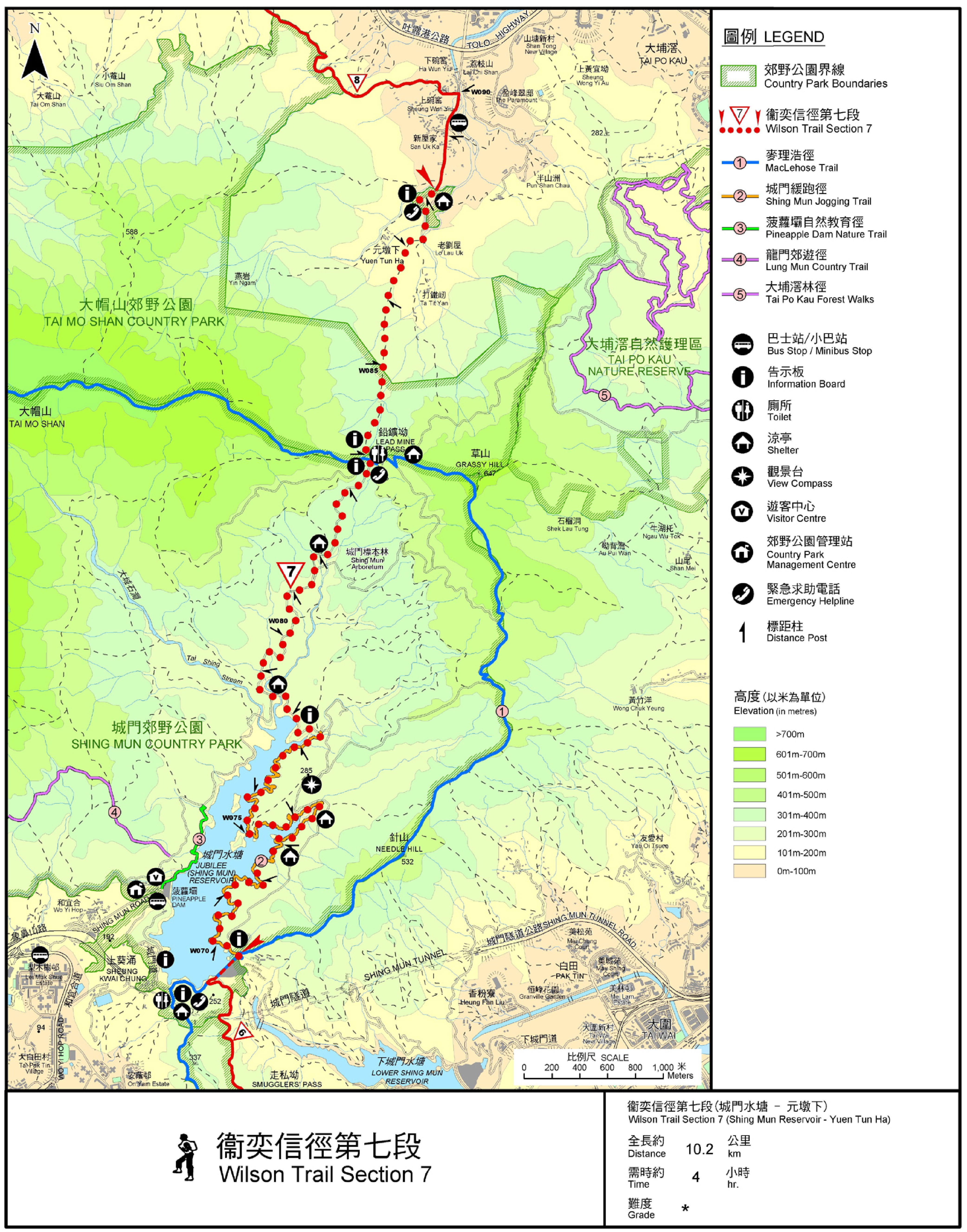
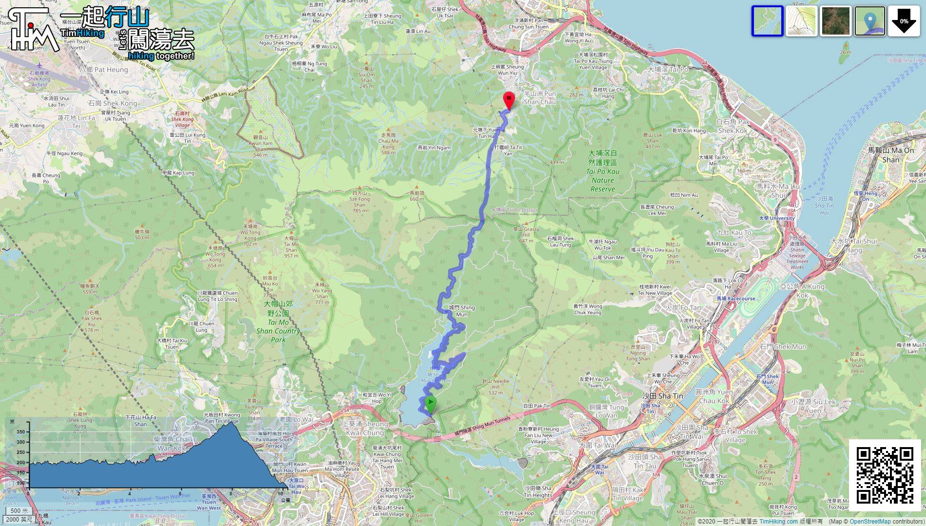
| Length : | 10.2km | ||
| Time : | 4hours | ||
| 【 Lead Mine Pass Campsite 】 | |||
| Toilet : | Flushing Toilet | ||
| Water : | Tap | ||
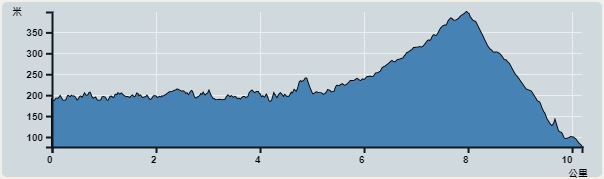 | |
| Ascent : 633m | Descent : 753m |
| Max : 399m | Min : 76m |
| (The accuracy of elevation is +/-30m) | |


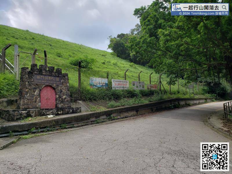
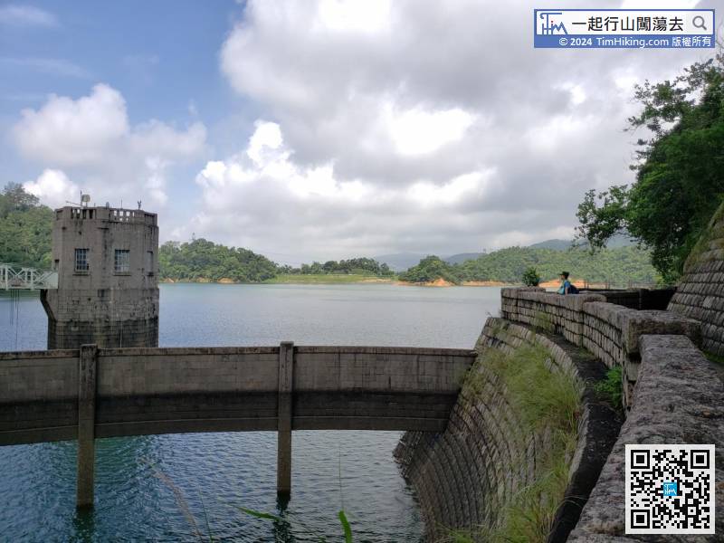
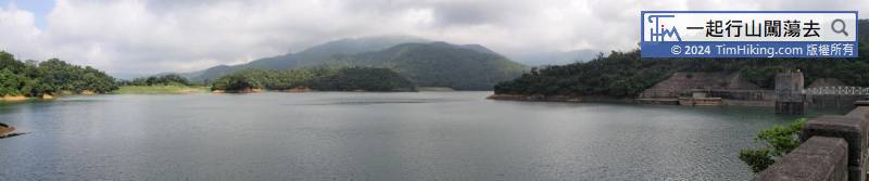
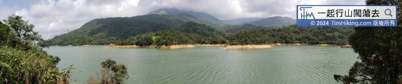
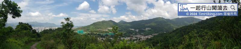
The closest way to Shing Mun Reservoir is to take minibus 82 at Tsuen Wan Chuen Lung Street and get off at the terminus.
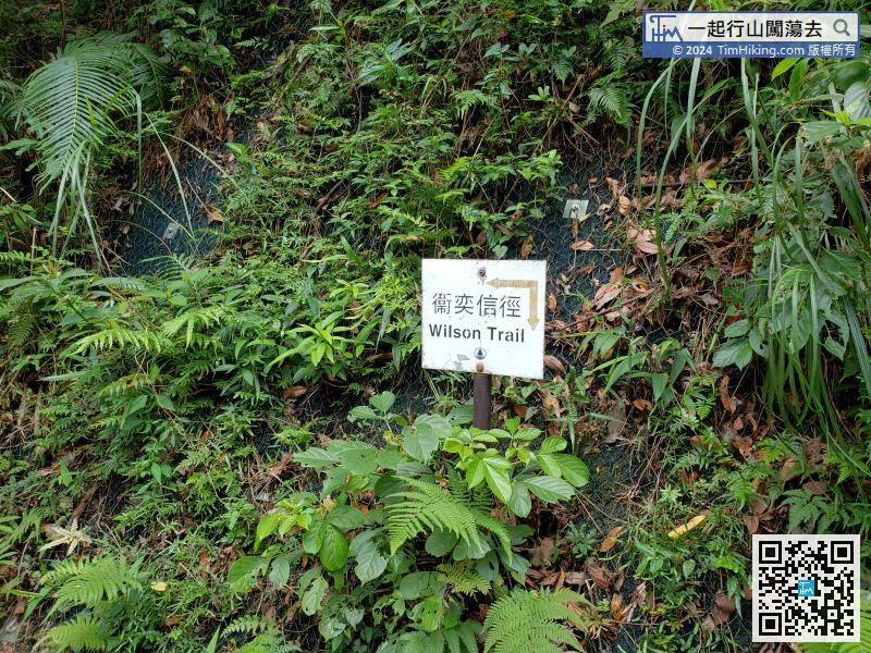
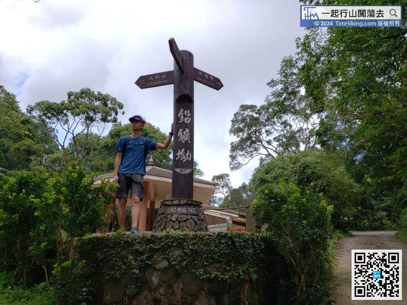
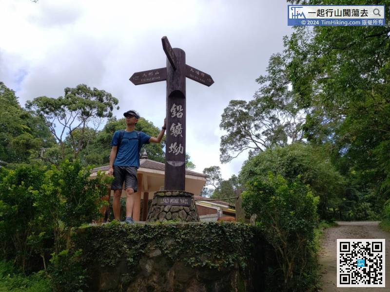
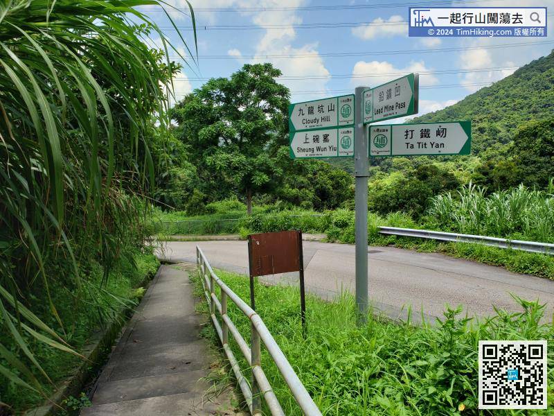
Lead Mine Pass has a large wooden pile road sign, a large pavilion, and public toilets. It is a supply station for many mountain running activities.
Official Map


