


 Recommend YouTube


| View : |  | ||
| Difficulty : |  | ||
| Path : | |||
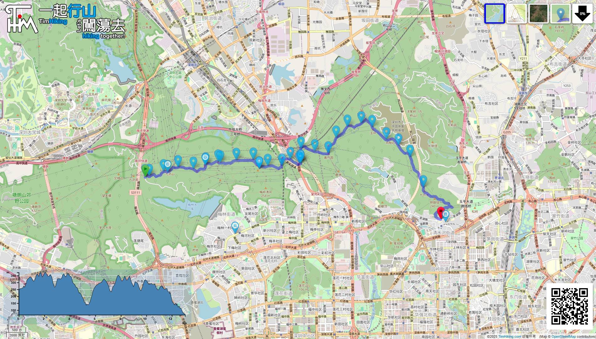
| Length : | 14.5km | ||
| Time : | 8½hours | ||
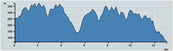 | |
| Ascent : 646m | Descent : 822m |
| Max : 373m | Min : 66m |
| (The accuracy of elevation is +/-30m) | |

 自助擺賣
自助擺賣
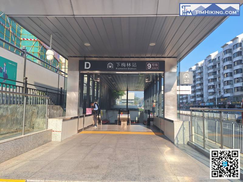
The starting point is the Meilin Reservoir Greenway Graffiti Wall, which is located on a mountain with no transportation and a bit far to get to. From Xiamenilin Station Exit D,
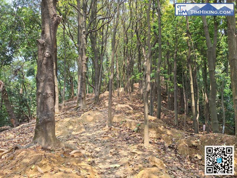
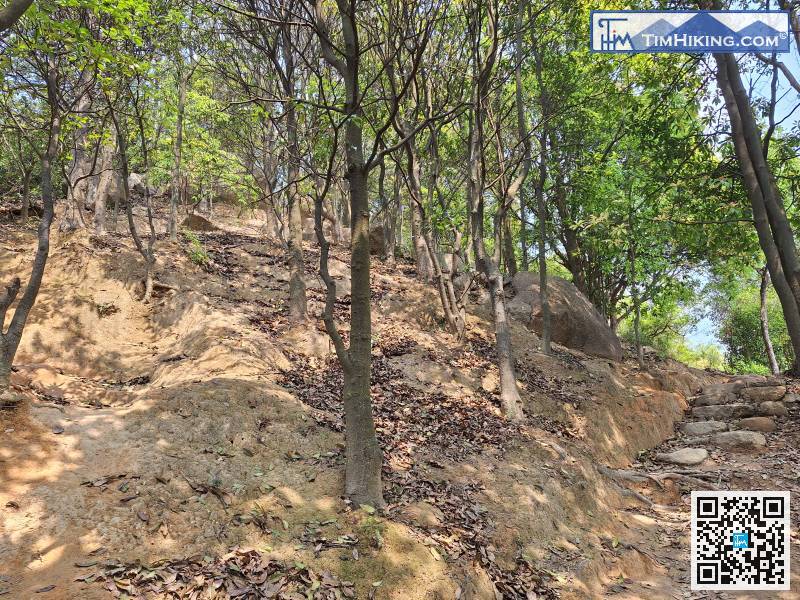
While going uphill,

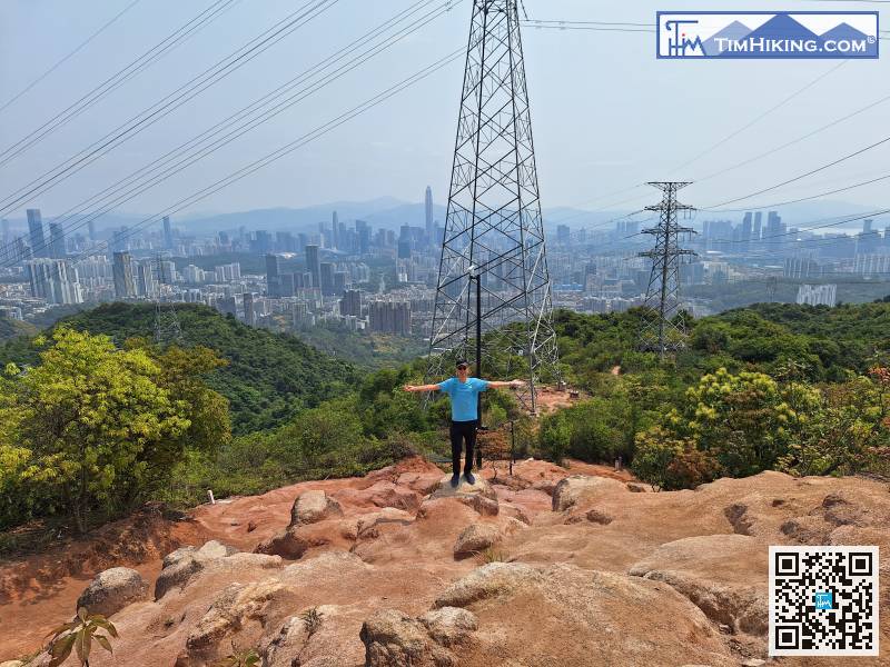
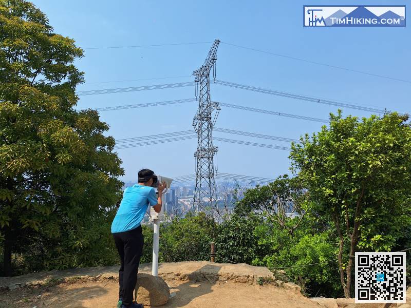
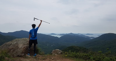
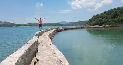
This is the most open scenery spot on the whole route, overlooking most of the city center of Shenzhen.
Not all hills need to be climbed to the top. Just go to the right if you see a big stone staircase!
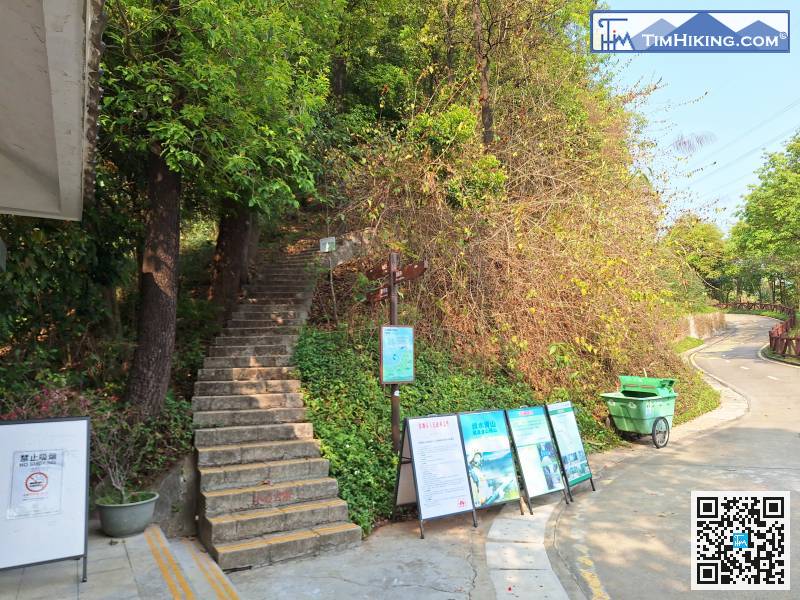
The bottom of the mountain trail is like a big park,
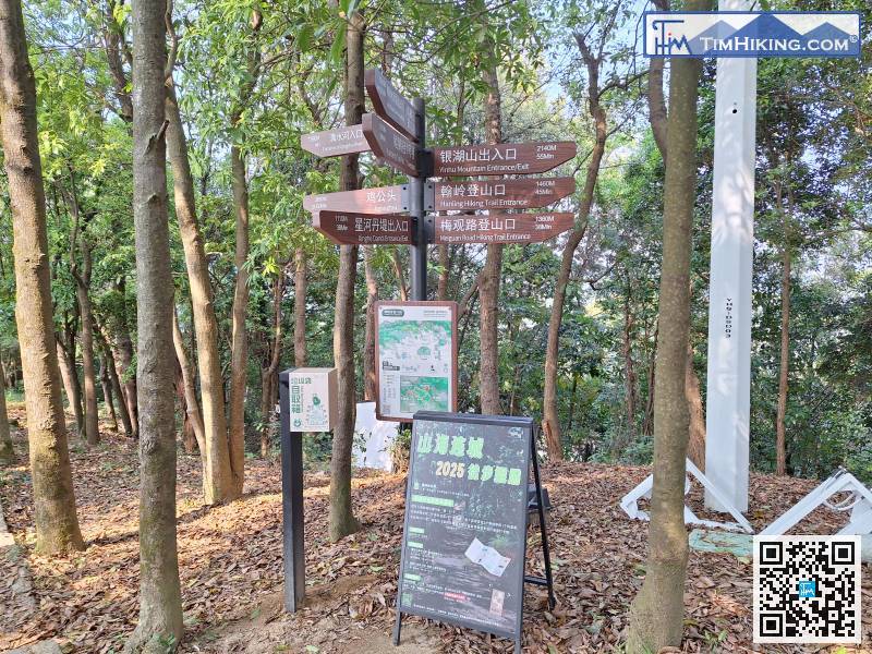
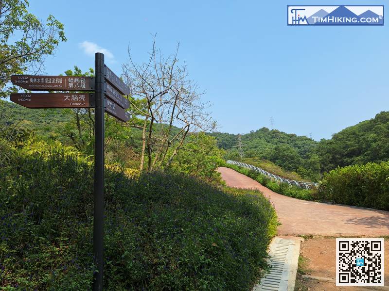
There is no sign at the top of Huangzhuyuan Mountain. It is a fork in the road.
The route is not a greenway, but a staircase.
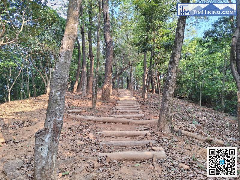
First, there is a gentle uphill section.
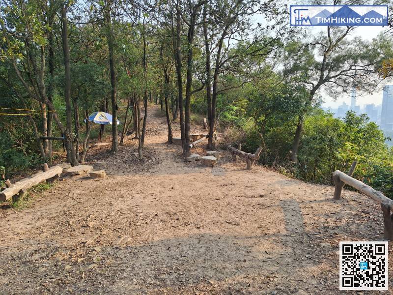
When you see a large rest area, you know it is very close to residential areas.


