


 Recommend YouTube


| View : |  | ||
| Difficulty : |  | ||
| Path : | |||
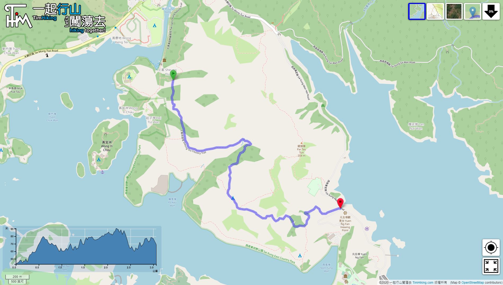
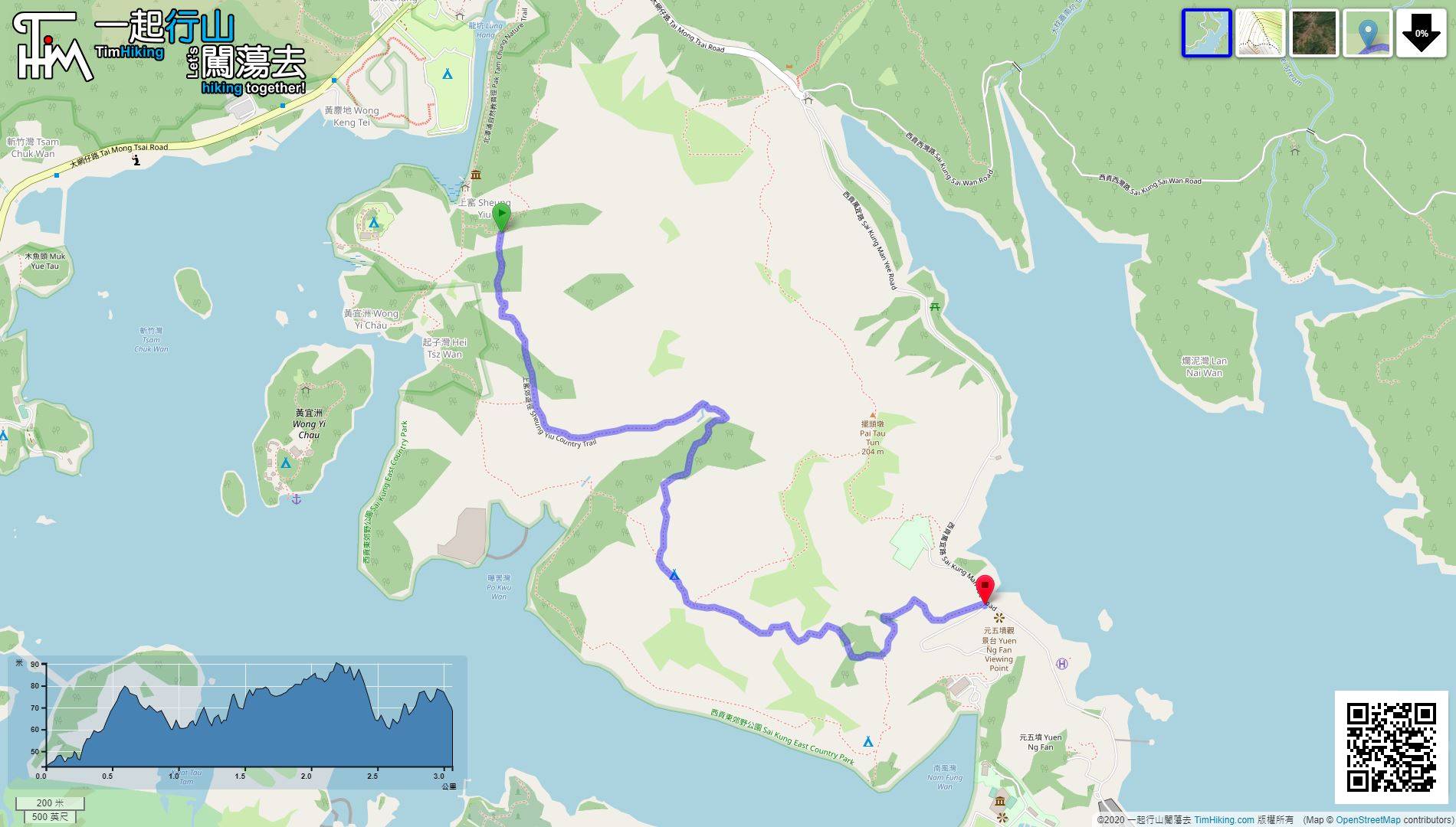
| Length : | 3.1km | ||
| Time : | 1¼hours | ||
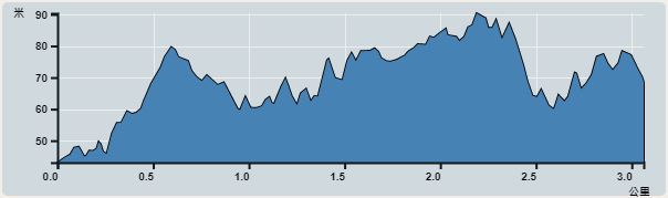 | |
| Ascent : 161m | Descent : 147m |
| Max : 90m | Min : 43m |
| (The accuracy of elevation is +/-30m) | |


 4︰Cross the Pak Tam Chung Fuk Hing Bridge to the other side,
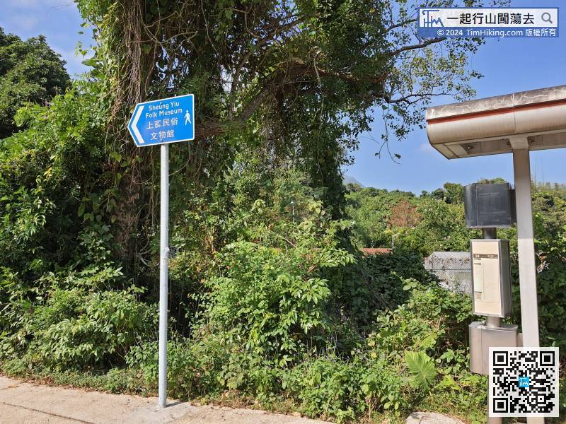
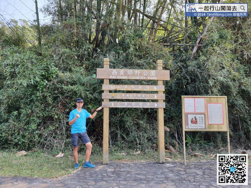
First, take the 94/96R bus or 7/9 minibus, then get off at Sheung Yiu bus stop, which is the closer.
12︰It was an old kiln used by villagers to collect sea shells and burn lime. The structure is still well preserved.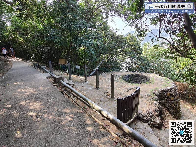
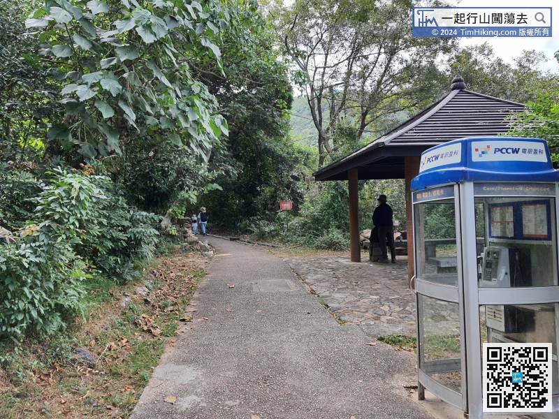 21︰The starting point is on the right-hand side and see the Sheung Yiu Country Trail sign again.
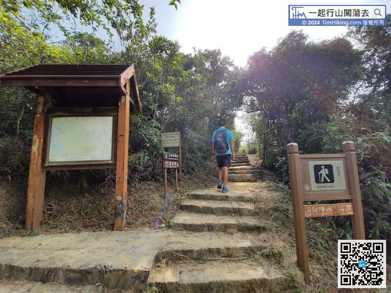
The starting point is on the right-hand side and see the Sheung Yiu Country Trail sign again.
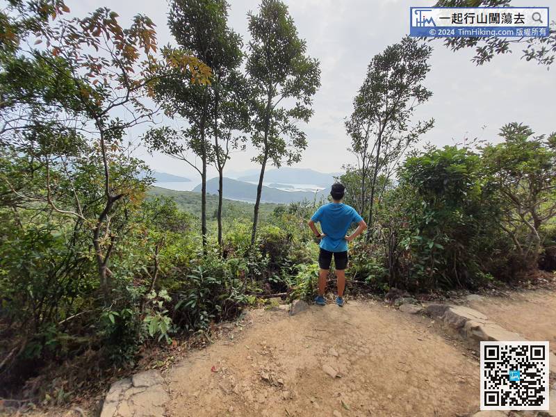
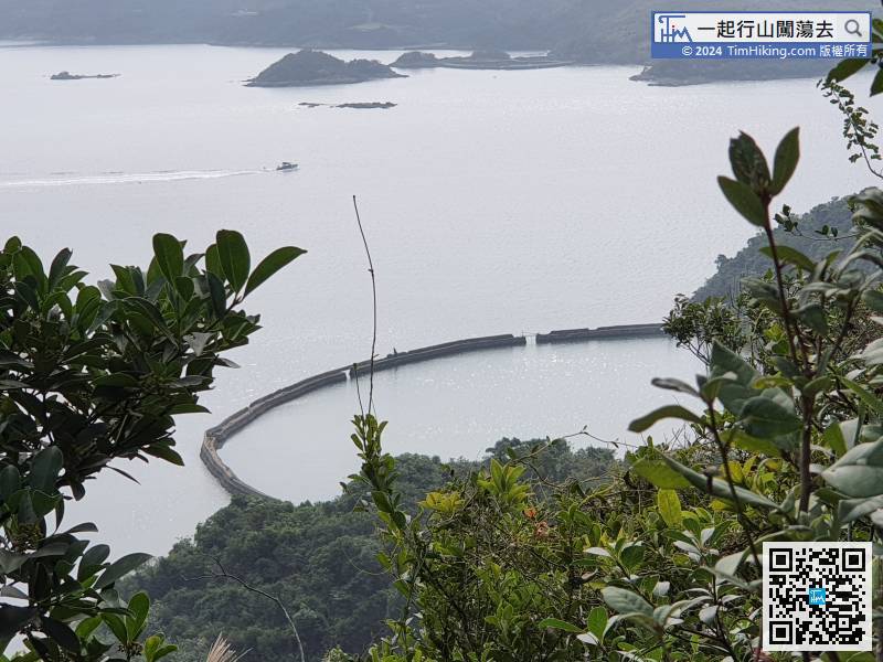
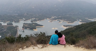
30︰Look over the coast, may find the embankment of Po Kwu Wan,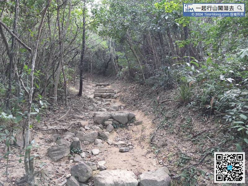
The uphill slope that started for about 15 minutes is already the most rugged section of the whole journey,
38︰which is the way to Po Kwu Wan.
When you see the distance post C5503, it also means that the Country Trail has gone halfway.
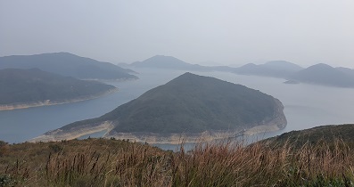
46︰which seems to be a Viewing Point.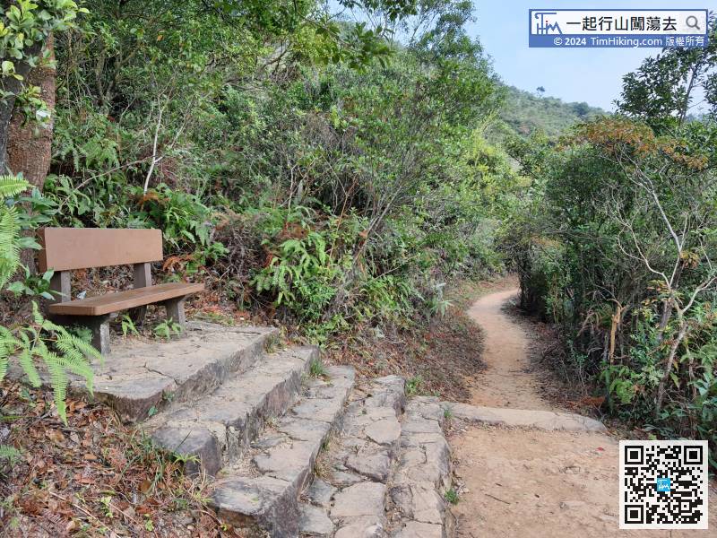 52︰Keep left at the last bifurcation.
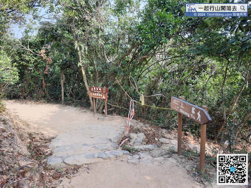


