


 Recommend YouTube


| View : |  | ||
| Difficulty : |  | ||
| Path : | |||
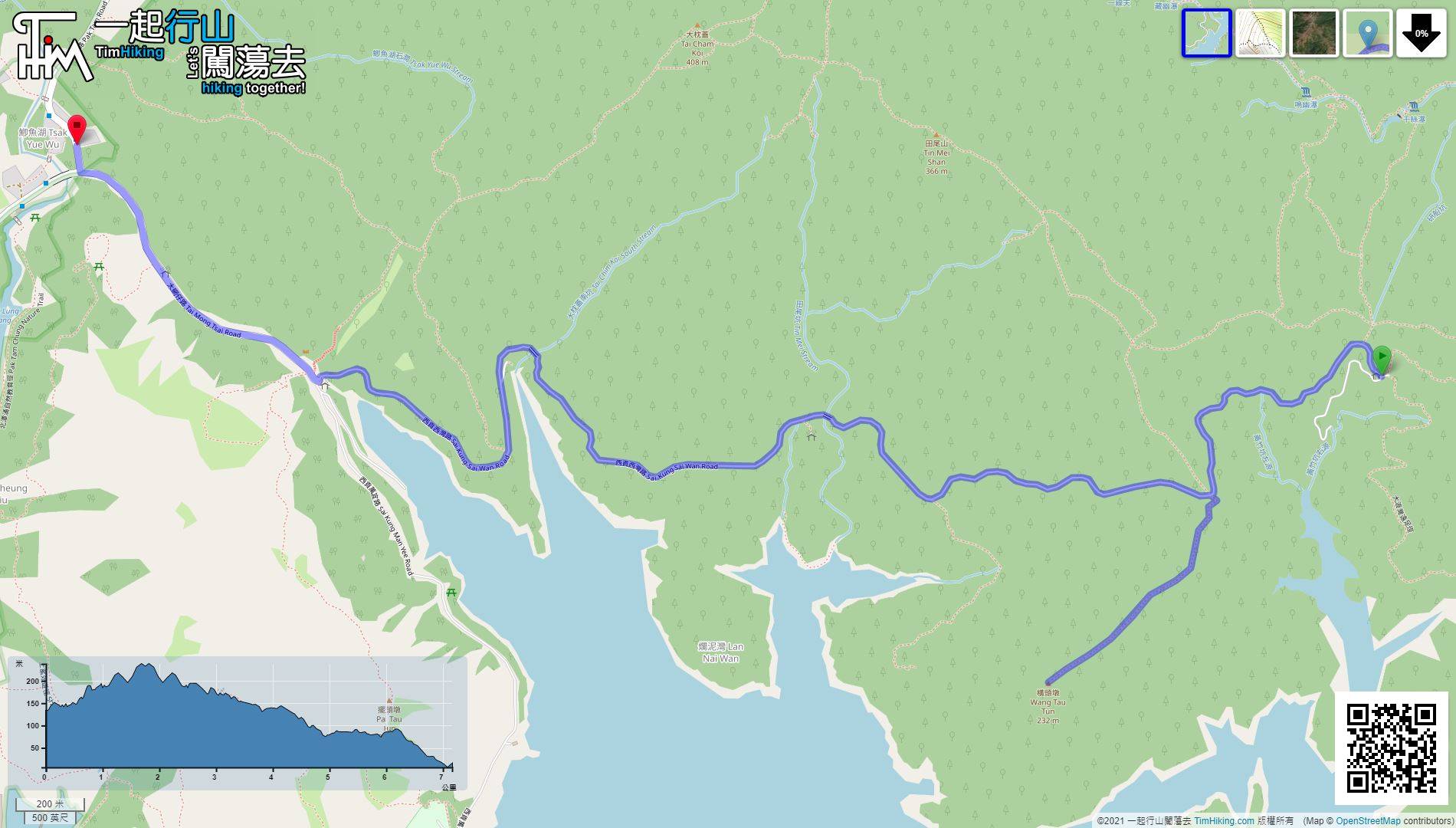
| Length : | 7.2km | ||
| Time : | 2½hours | ||
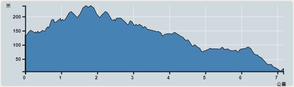 | |
| Ascent : 369m | Descent : 474m |
| Max : 215m | Min : 6m |
| (The accuracy of elevation is +/-30m) | |


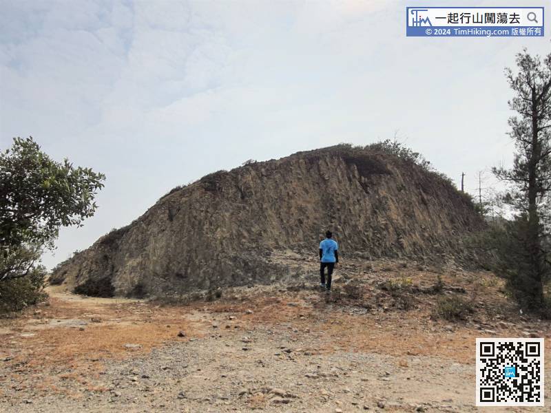
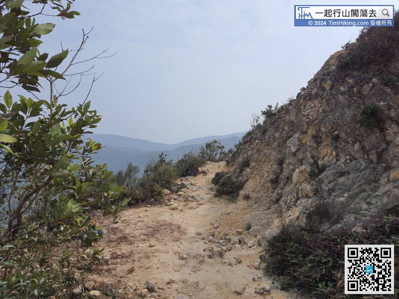
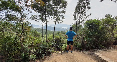
 5︰walk for about 1km more, and will see a flattened hill on the left.
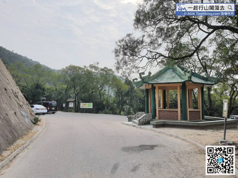
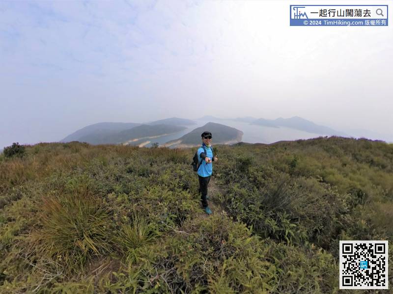
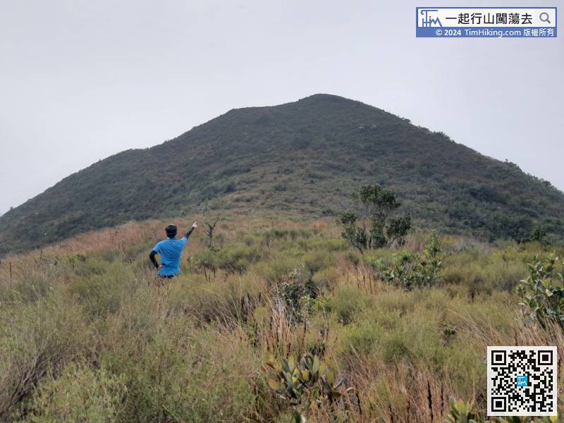
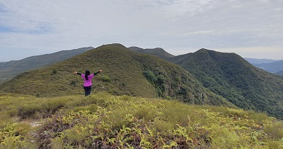
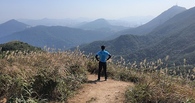
 15︰After reaching the top of the hill, the higher peak in front is Wang Tau Tun.
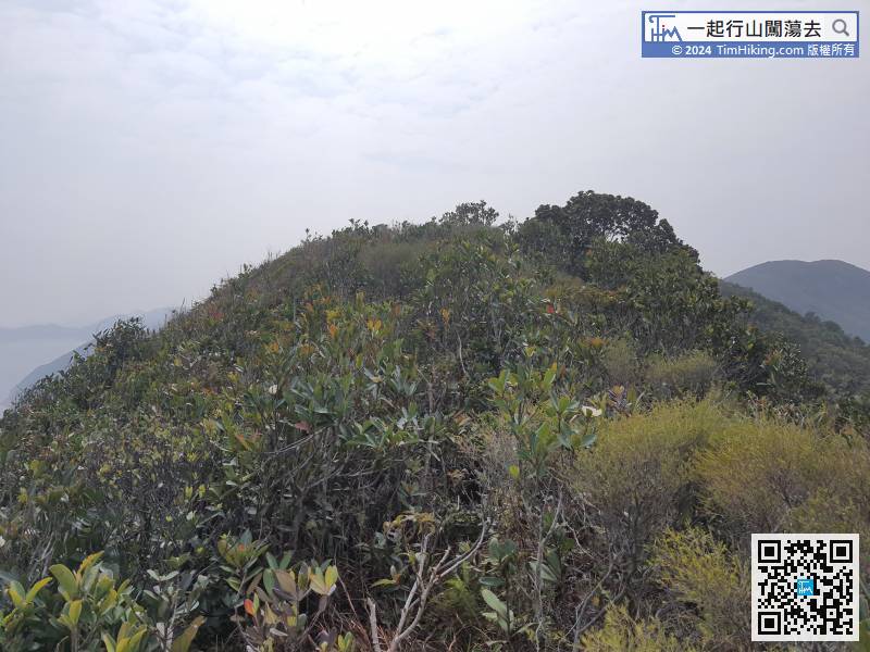 24︰After enjoying the intoxicating scenery, it is required to return in the same way.
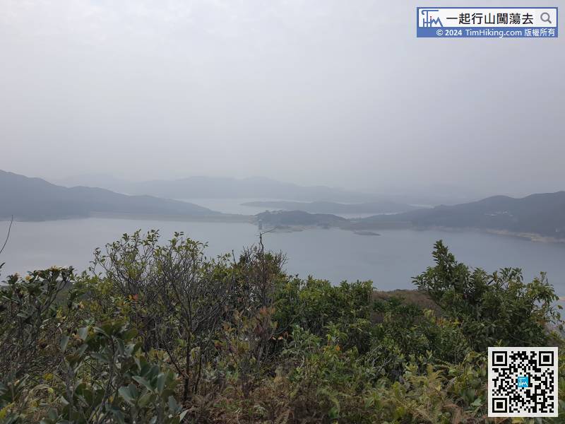
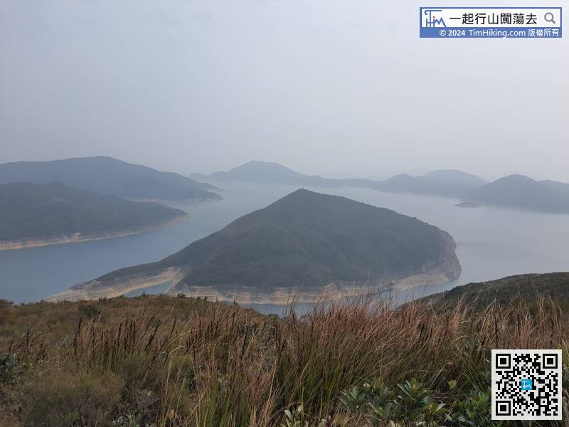
In Wang Tau Tun, can overlook the entire High Island Reservoir from east to west.
36︰After reaching the roundabout,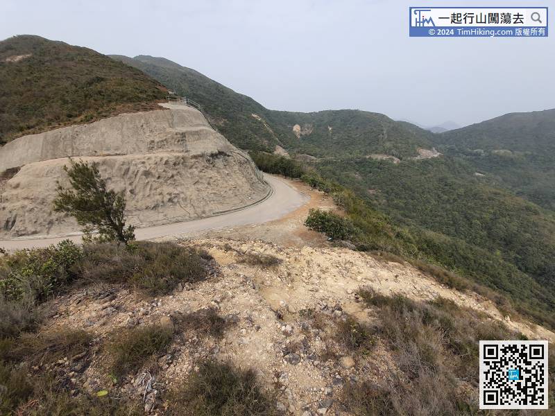


