


 Recommend YouTube


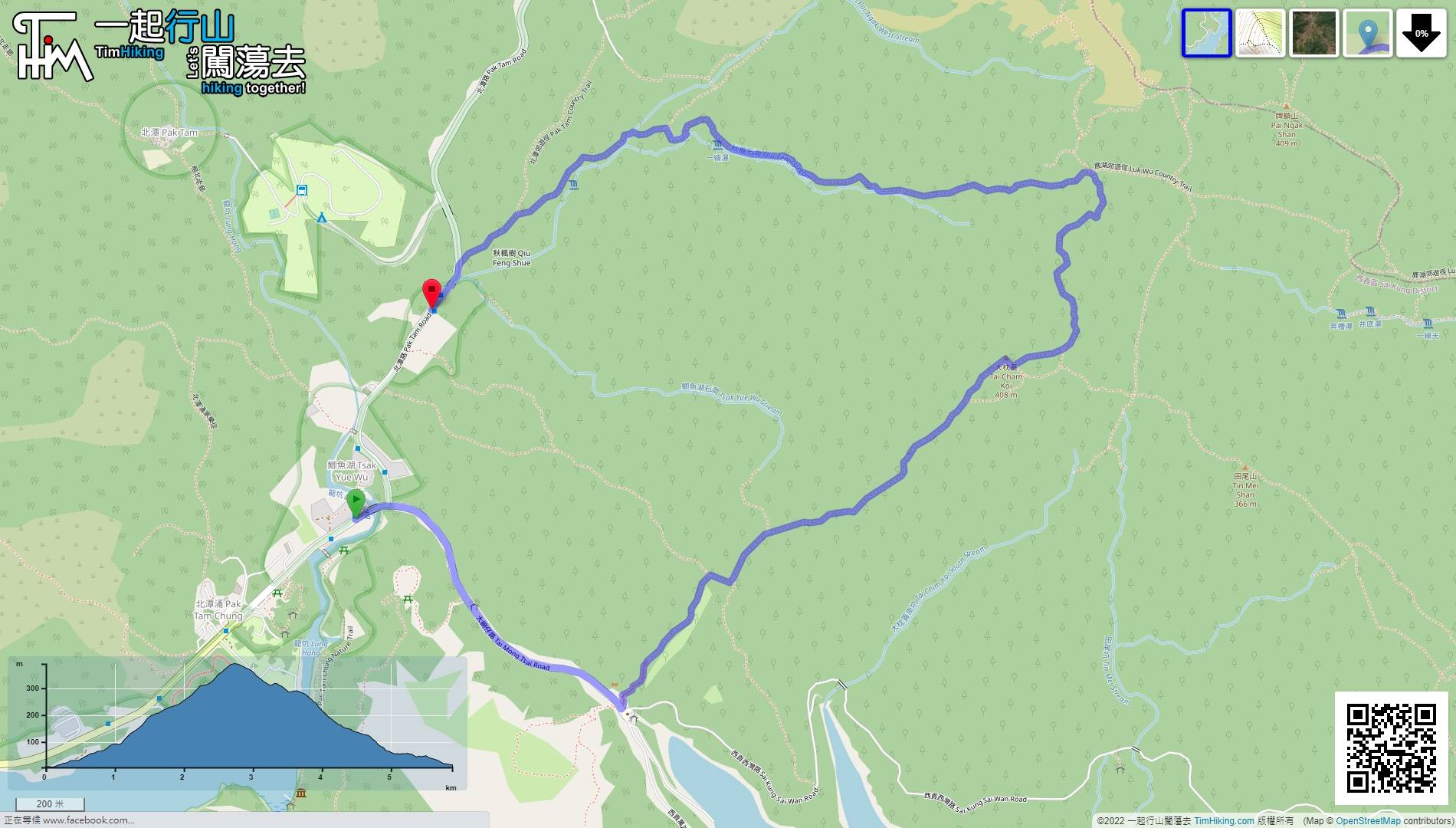
| View : |  | ||
| Difficulty : |  | ||
| Path : | |||
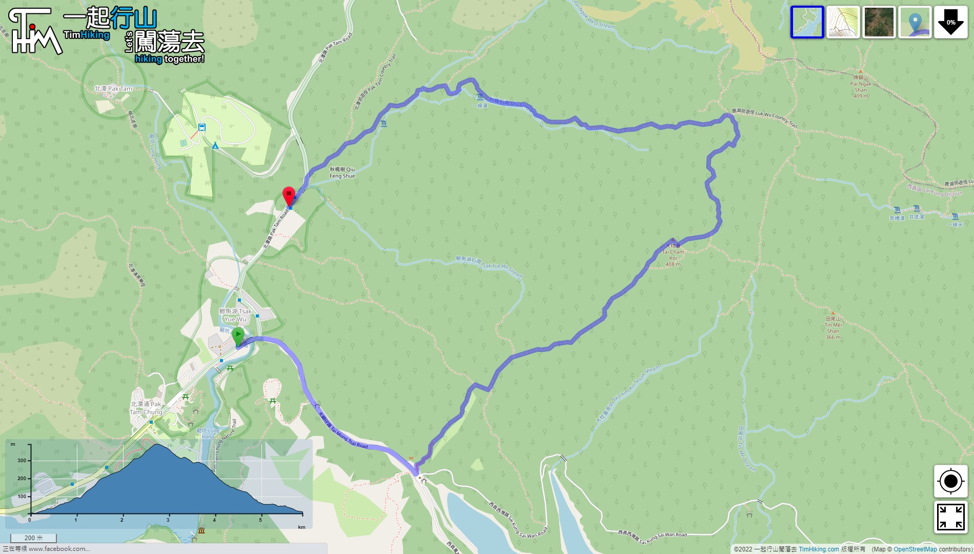
| Length : | 5.9km | ||
| Time : | 3hours | ||
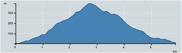 | |
| Ascent : 386m | Descent : 386m |
| Max : 391m | Min : 5m |
| (The accuracy of elevation is +/-30m) | |


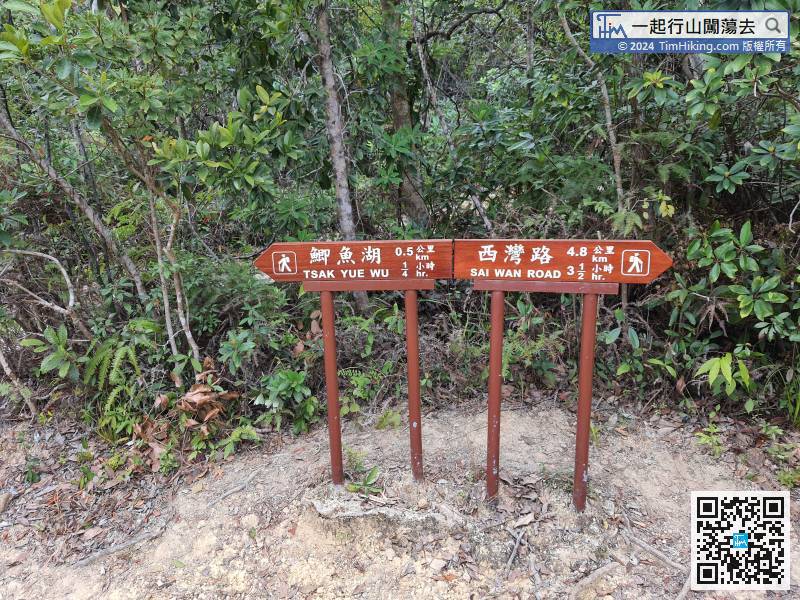
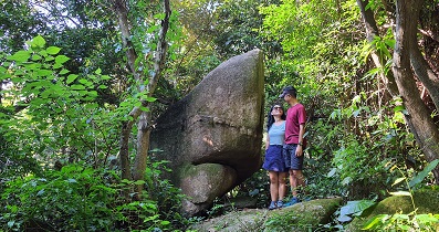
 5︰That is the official route to Tai Cham Koi, but there are no signs at the intersection.
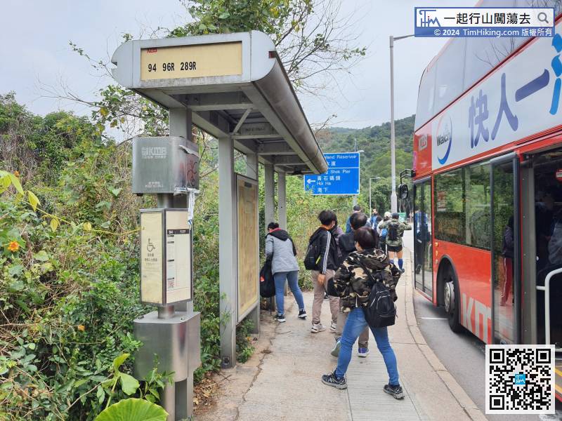 13︰About 15 minutes up the mountain, will find a fork on the left,
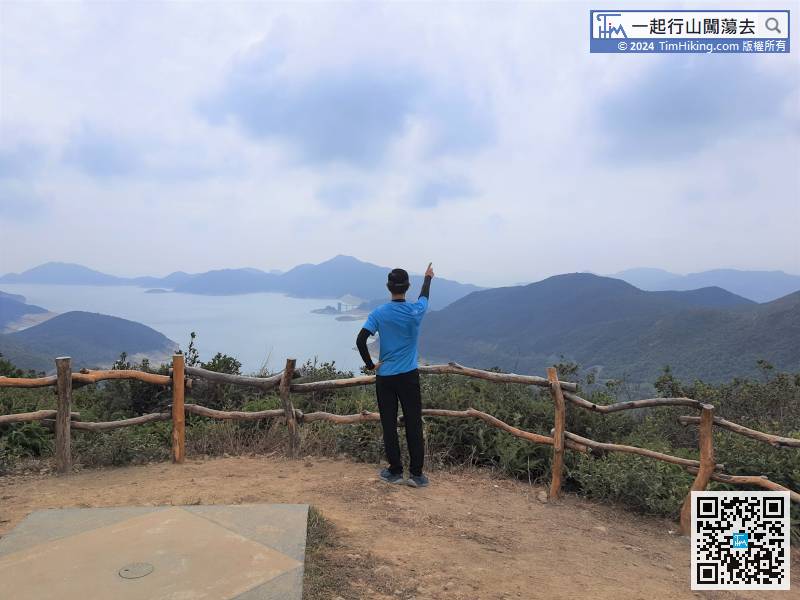
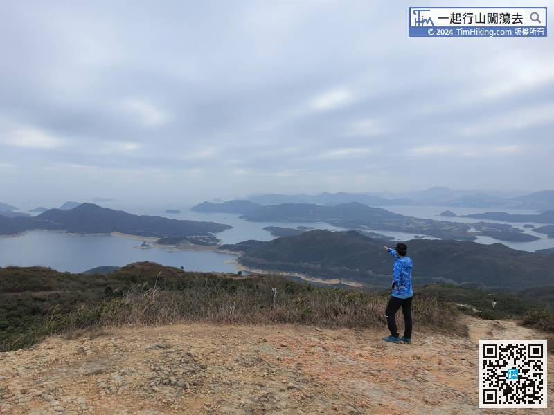
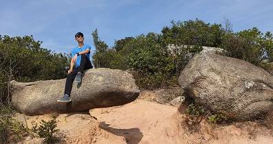
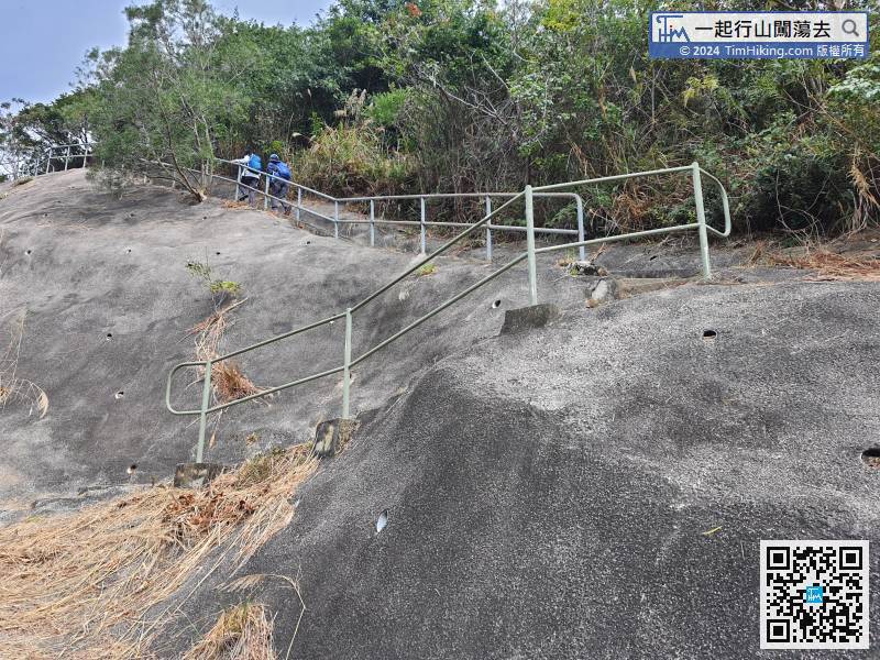 16︰and will come to a new Viewing Point, which is the location of the old Trigonometrical Station.
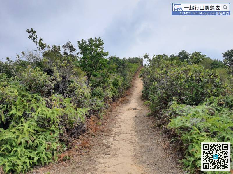 26︰There is a Trigonometrical Station on the top of Tai Cham Koi.
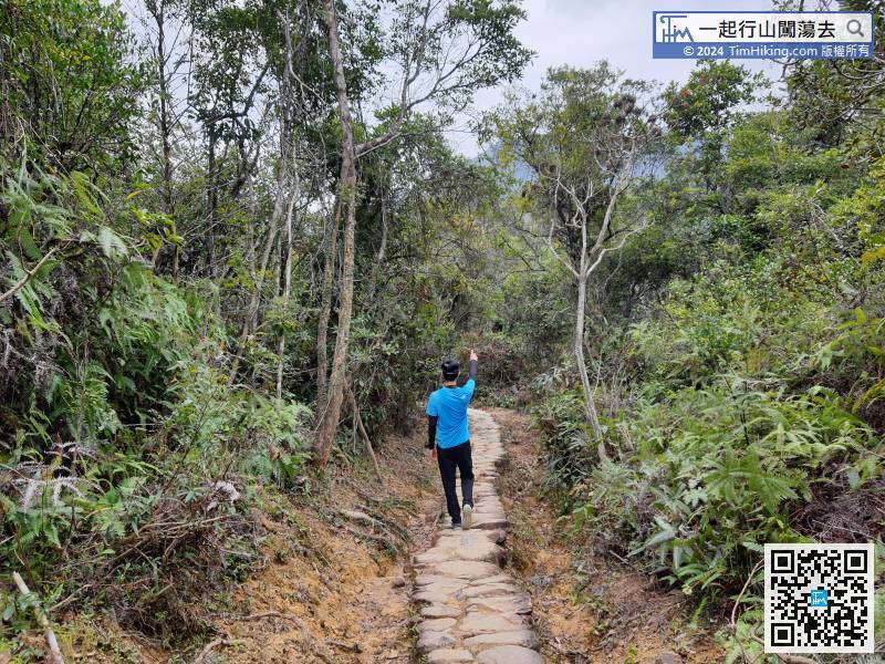
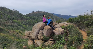
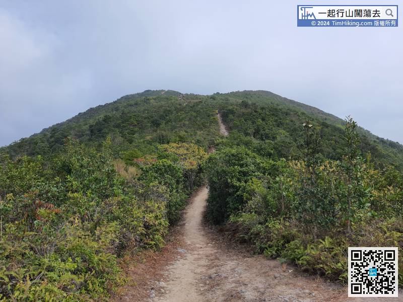 35︰After returning to the official trail, just keep going straight,
 44︰will connect to Luk Wu Country Trail.
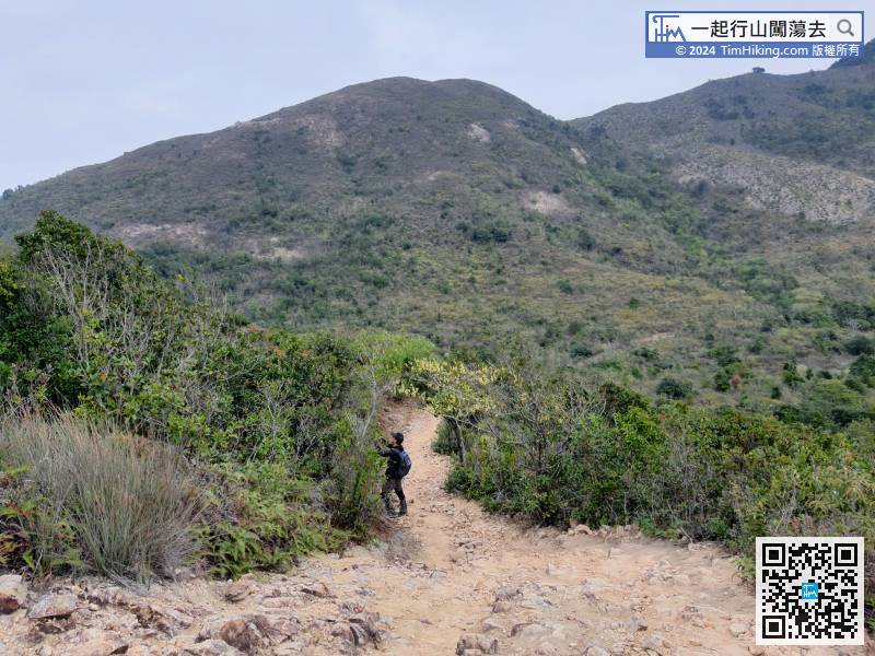
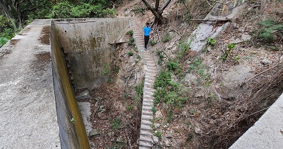
There is a section of floating sand and gravel trail down the mountain. Hikers who are not used to it should be extra careful.
54︰and then leave the catchwater at the turning position.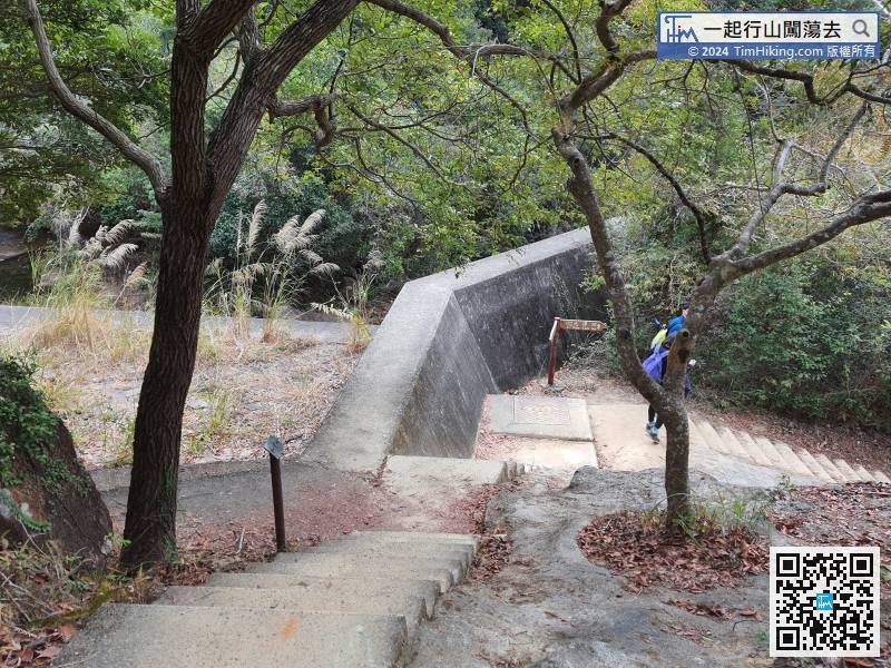


