


 Recommend YouTube


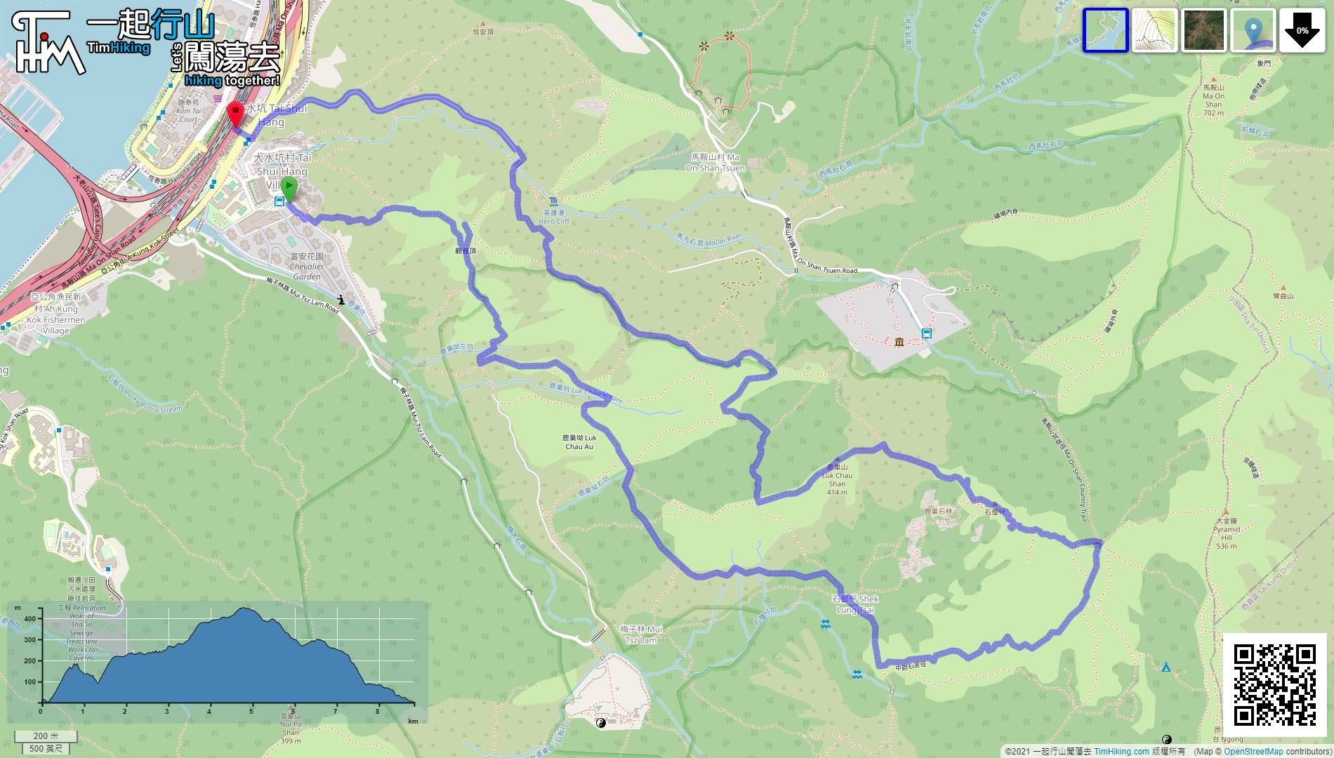
| View : |  | ||
| Difficulty : |  | ||
| Path : | |||
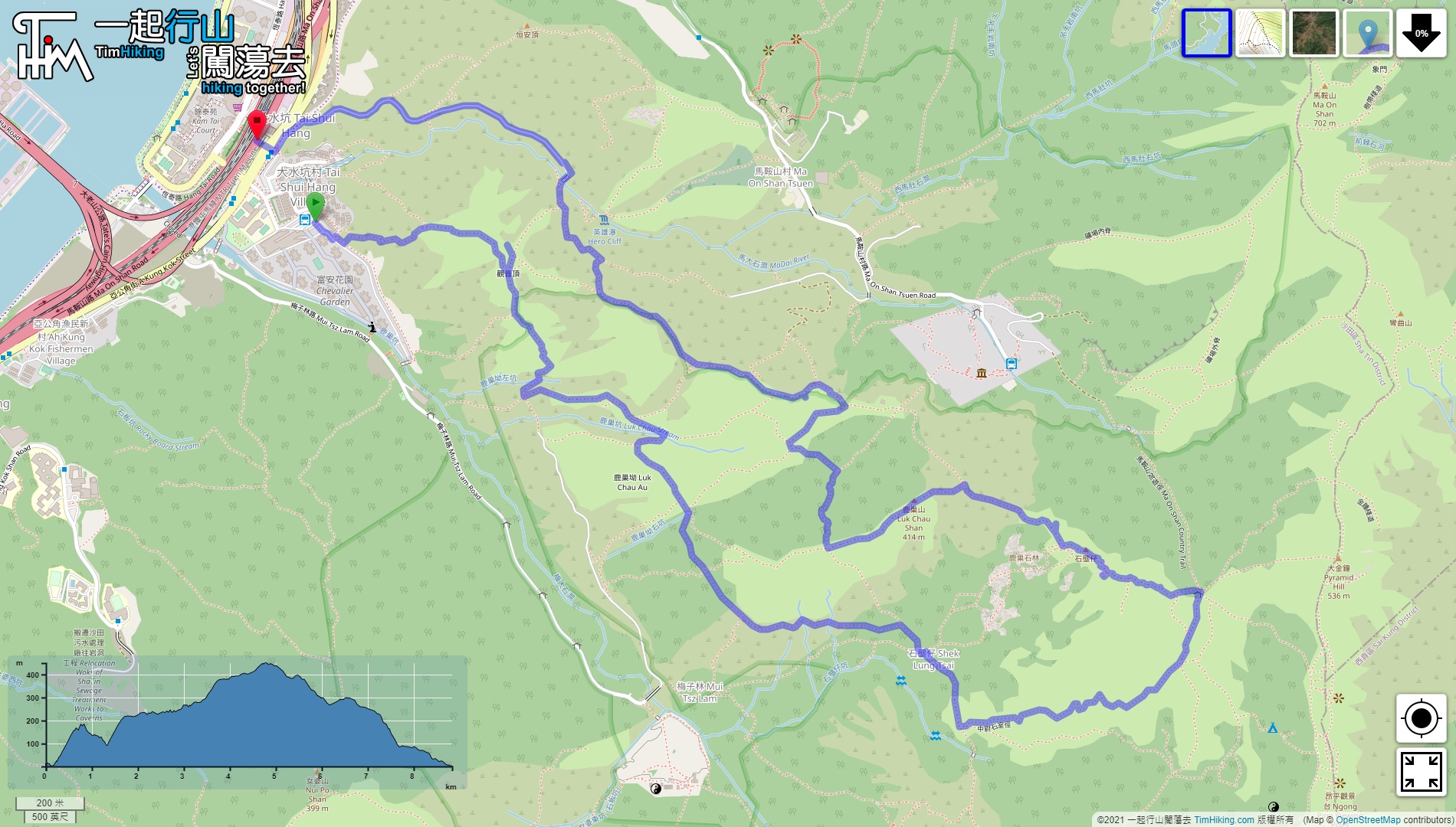
| Length : | 8.9km | ||
| Time : | 5hours | ||
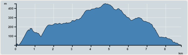 | |
| Ascent : 699m | Descent : 717m |
| Max : 449m | Min : 0m |
| (The accuracy of elevation is +/-30m) | |


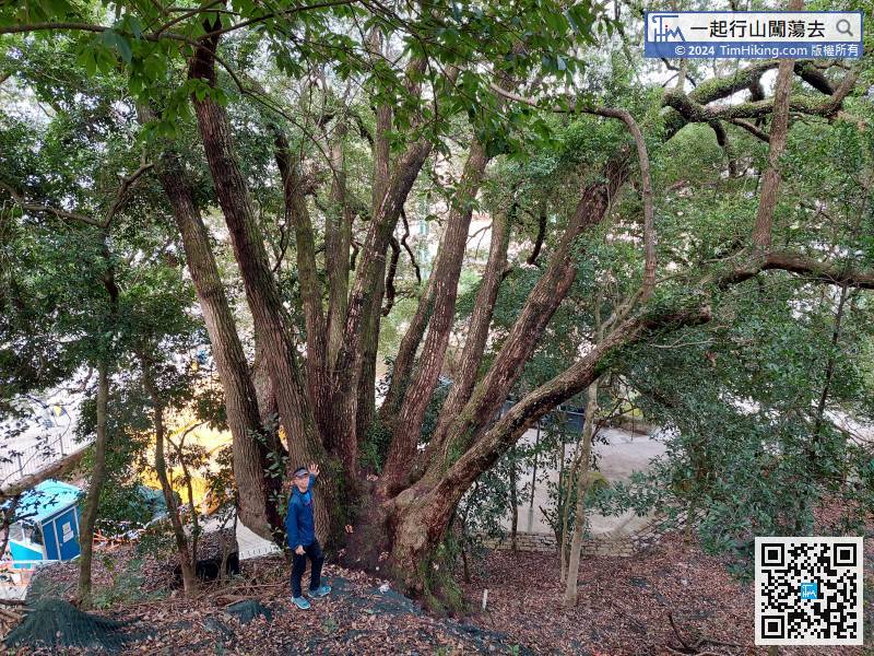
 4︰and will meet the Hundreds of Descendants Tree on the side of the mountain.
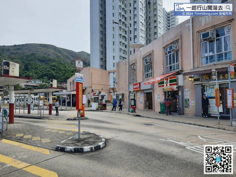
First, take the bus to Ma On Shan Chevalier Garden, or take the MTR Tai Shui Hang Station. It is very close to the climbing entrance.
25︰Kwun Yam Teng does not have a Trigonometrical Station. The top of the mountain is also very wide with open scenery, and there is no obvious highest point.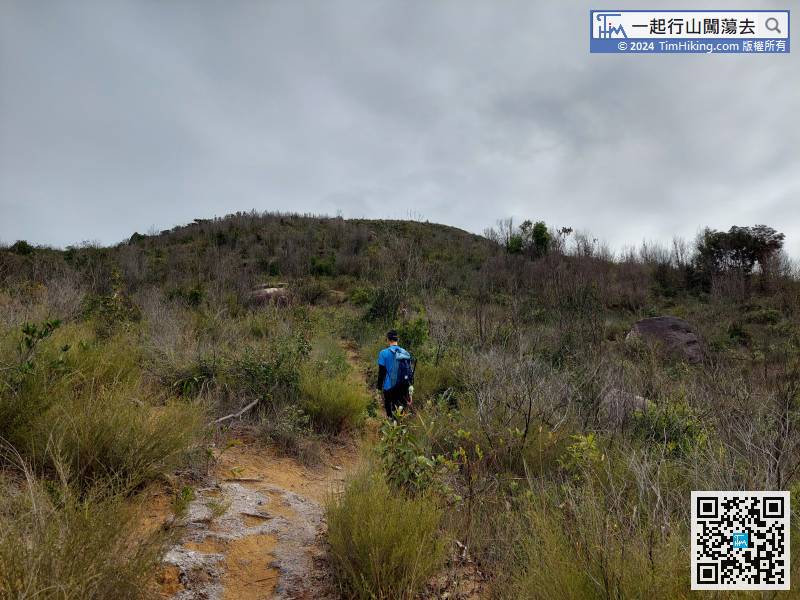 39︰Step on a small step, hikers can actually go straight, but this route wants to avoid all concrete roads as much as possible,
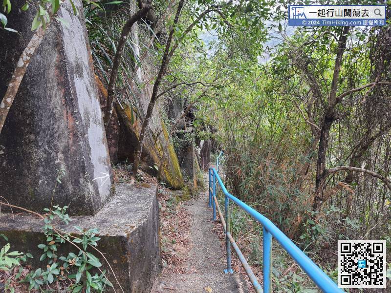
Next, walk along the blue railing for one or two minutes
 76︰Go straight.
 106︰visit Dragon Boat Rock,
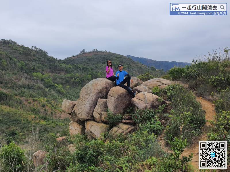
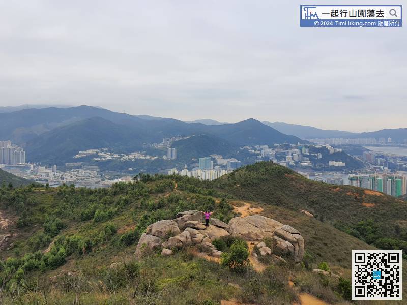
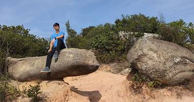
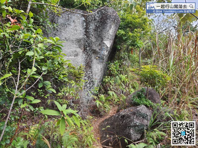
To leave, just continue walking along the main trail.
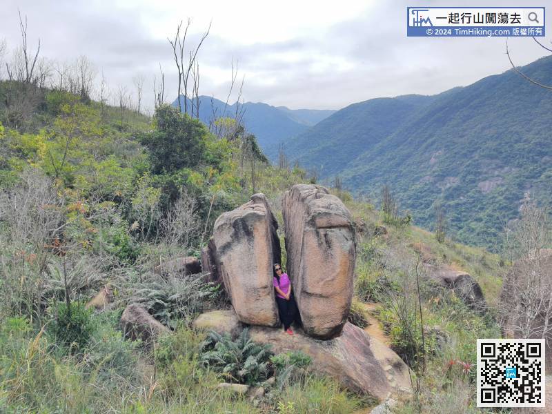
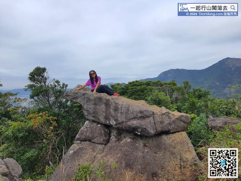
113︰will see the lovely Lizard looking at the Sea Rock.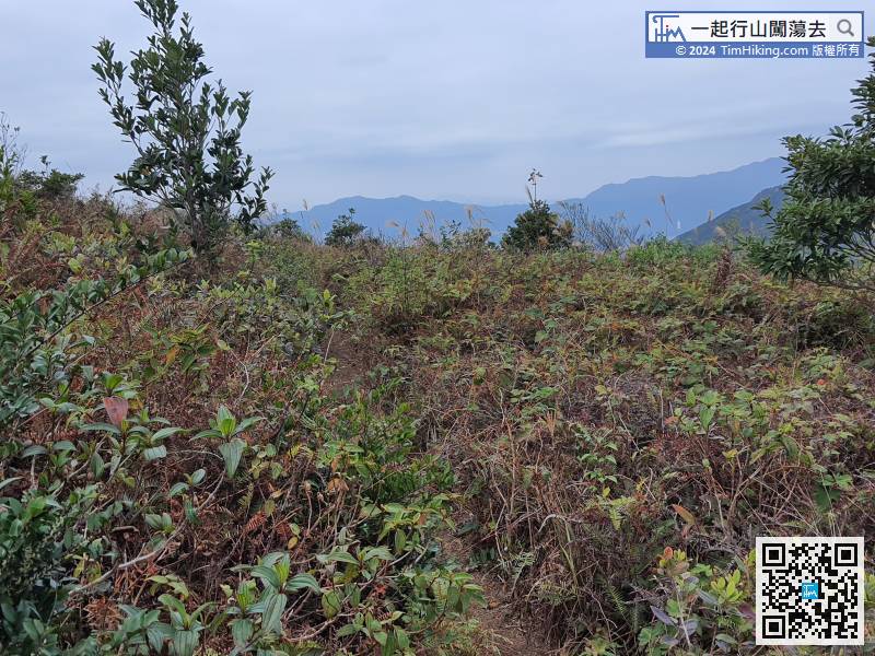
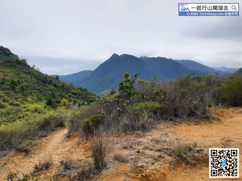
Go straight along the mountain trail,
127︰Walk for about 200 meters, and will encounter another bifurcation. At this time, have to turn right,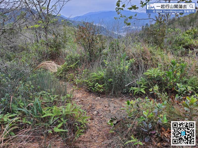
Walk for about 200 meters, and will encounter another bifurcation. At this time, have to turn right,
144︰It looks like a cute Michelin Fat Pig Rock, but only an angle is visible, and the other angles are just a pile of rocks.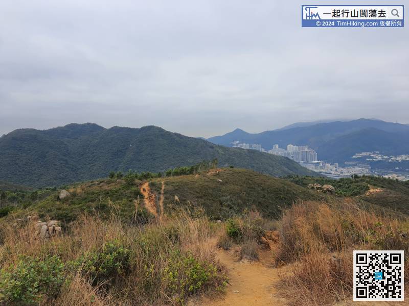
Stay on the left and fall down the mountain.
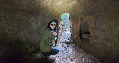
162︰Carefully cross the dam to the other side,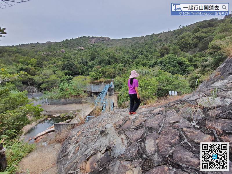


