


 Recommend YouTube


| View : |  | ||
| Difficulty : |  | ||
| Path : | |||
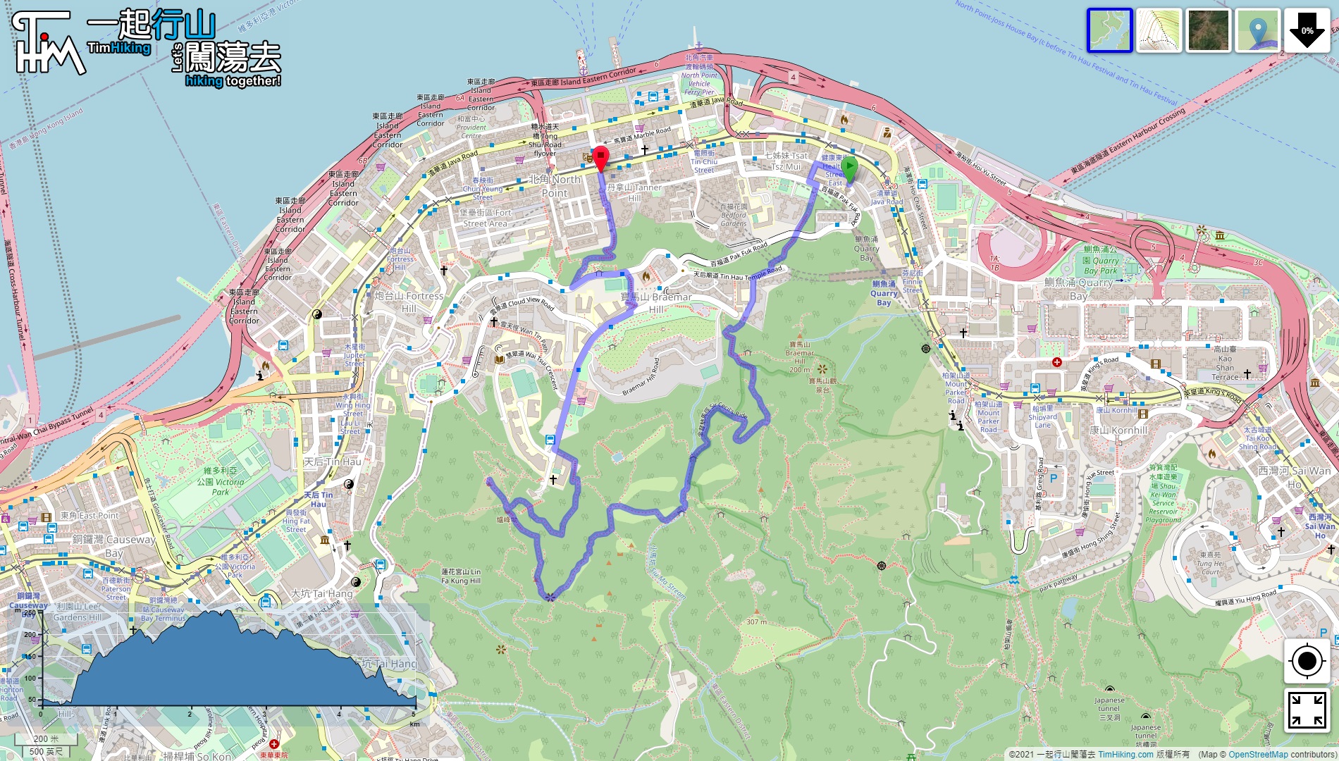
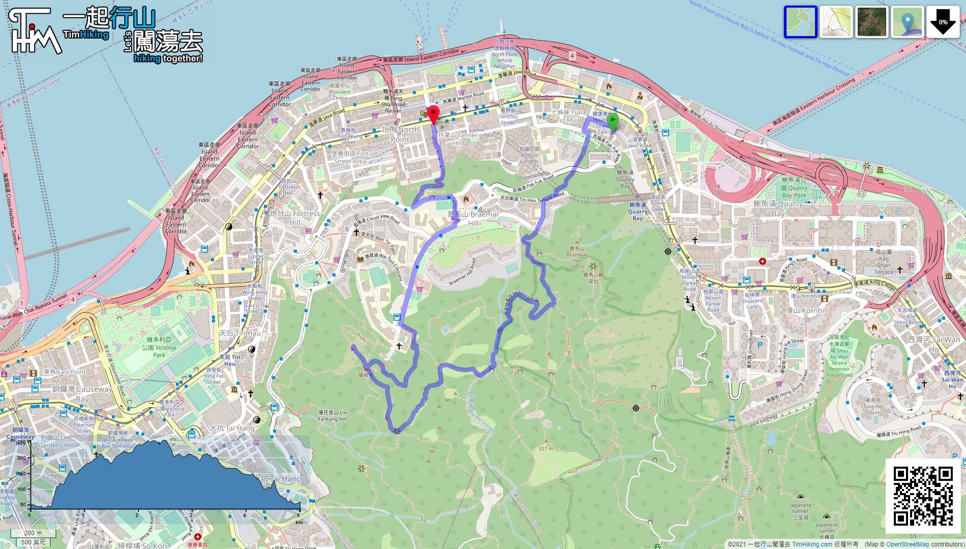
| Length : | 5.1km | ||
| Time : | 2hours | ||
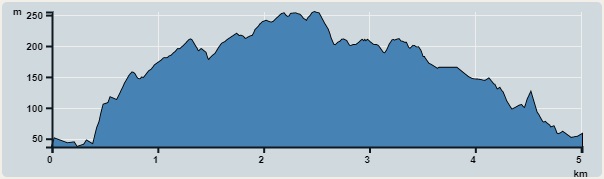 | |
| Ascent : 418m | Descent : 397m |
| Max : 255m | Min : 37m |
| (The accuracy of elevation is +/-30m) | |


 17︰Follow the Po Luen Path to the end, and will see a wide stairway.
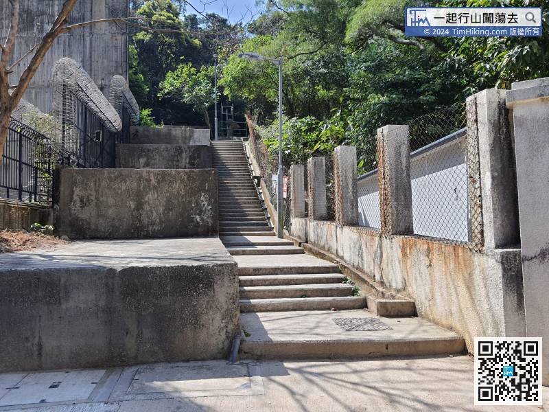
Follow the Po Luen Path to the end, and will see a wide stairway.
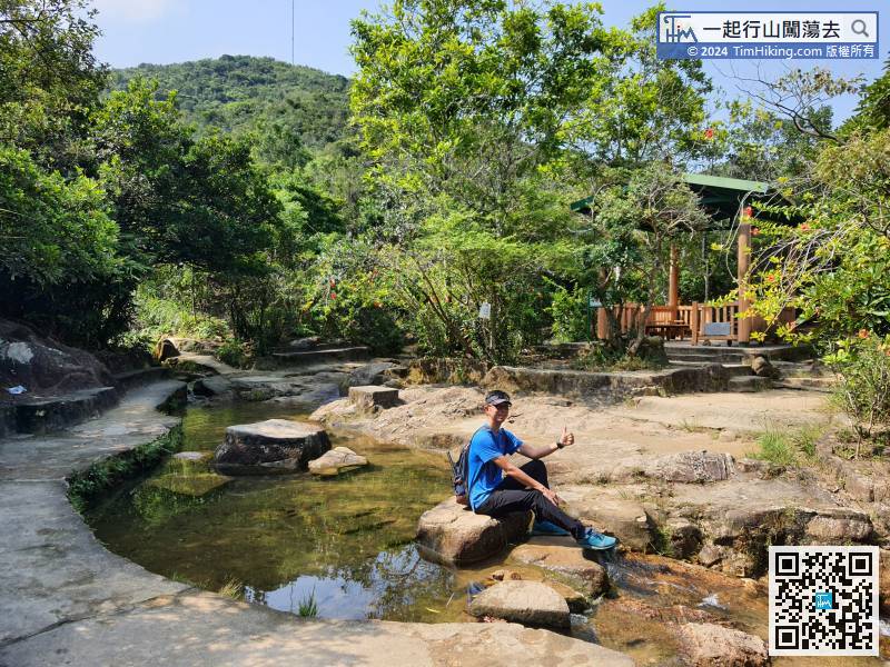
30︰then turn right at the bifurcation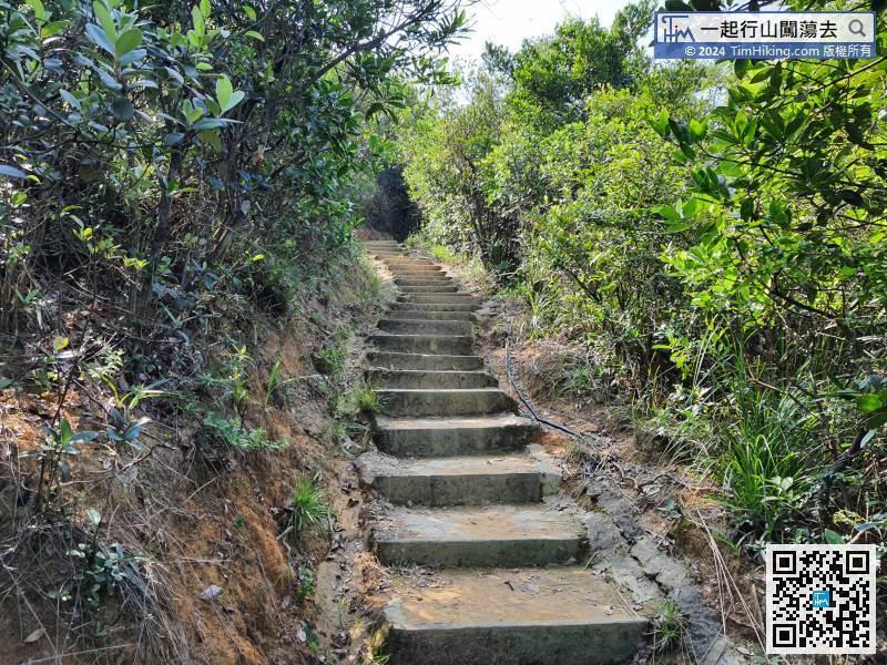 45︰Soon will arrive at the Si Yau Pavilion, the environment is like a garden.
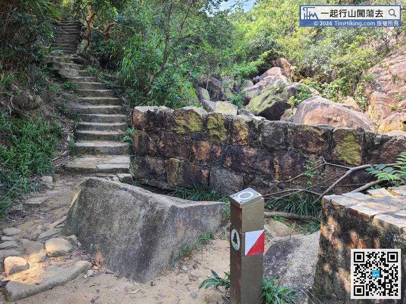 49︰At that moment, pay attention to the dirt barren trail on the right, then leave Siu Ma Stream and head to Banana Rock Forest.
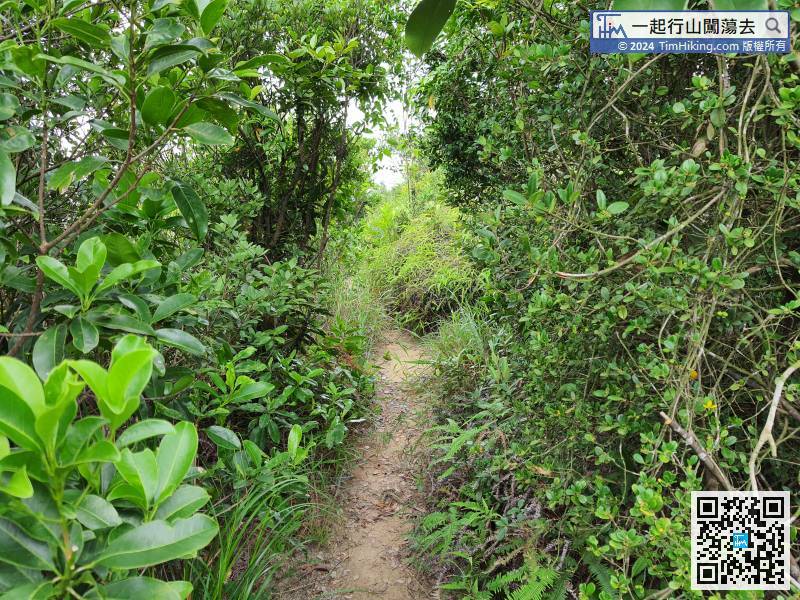
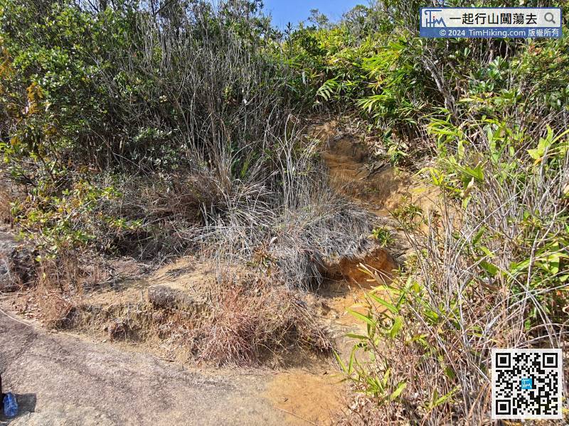
At that moment, pay attention to the dirt barren trail on the right, then leave Siu Ma Stream and head to Banana Rock Forest.
57︰Walk to a small flat, which is an intersection, choose the second one and continue up the mountain.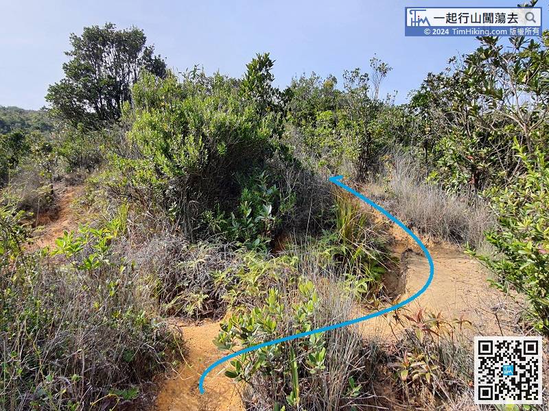
Walk to a small flat, which is an intersection, choose the second one and continue up the mountain.
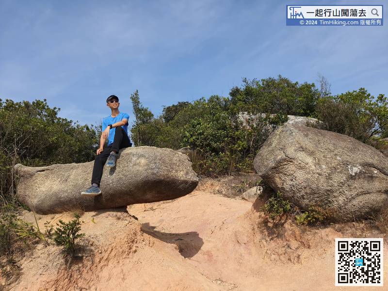
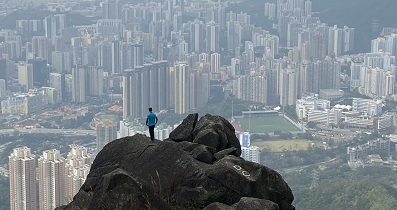
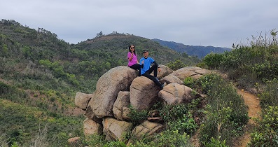
71︰will reach the Banana Rock.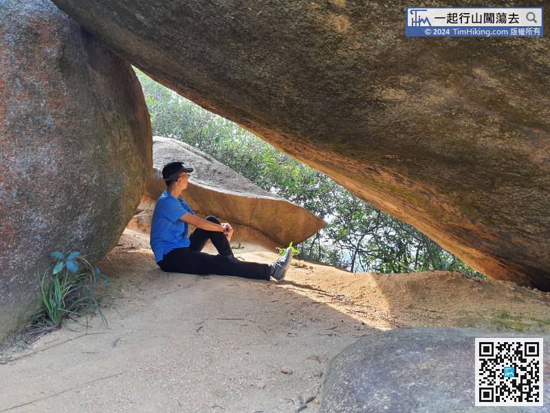
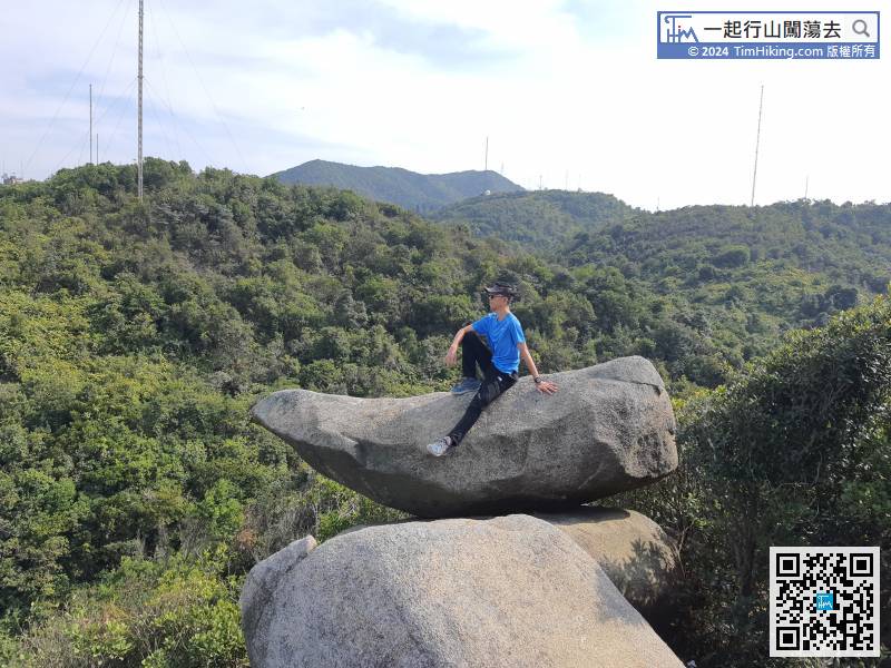
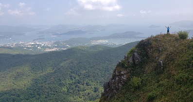
 89︰Keep to the left is the trail to climb Hung Heung Lo Fung.
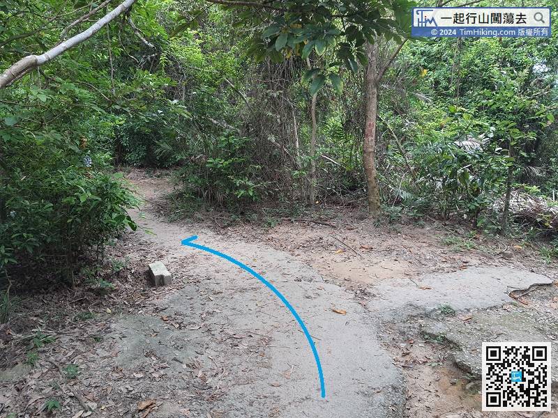
Keep to the left is the trail to climb Hung Heung Lo Fung.
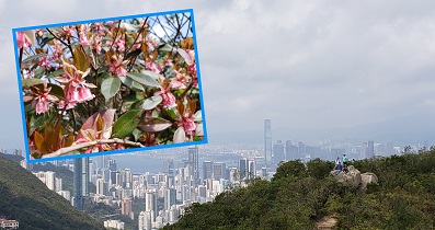
106︰and then walk a little bit forward will come to the entrance of Aroma Walk.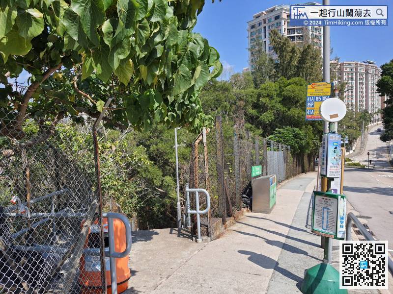
After passing the Kiangsu-Chekiang College, pay attention to the steps on the left-hand side,


