


 Recommend YouTube


| View : |  | ||
| Difficulty : |  | ||
| Path : | |||
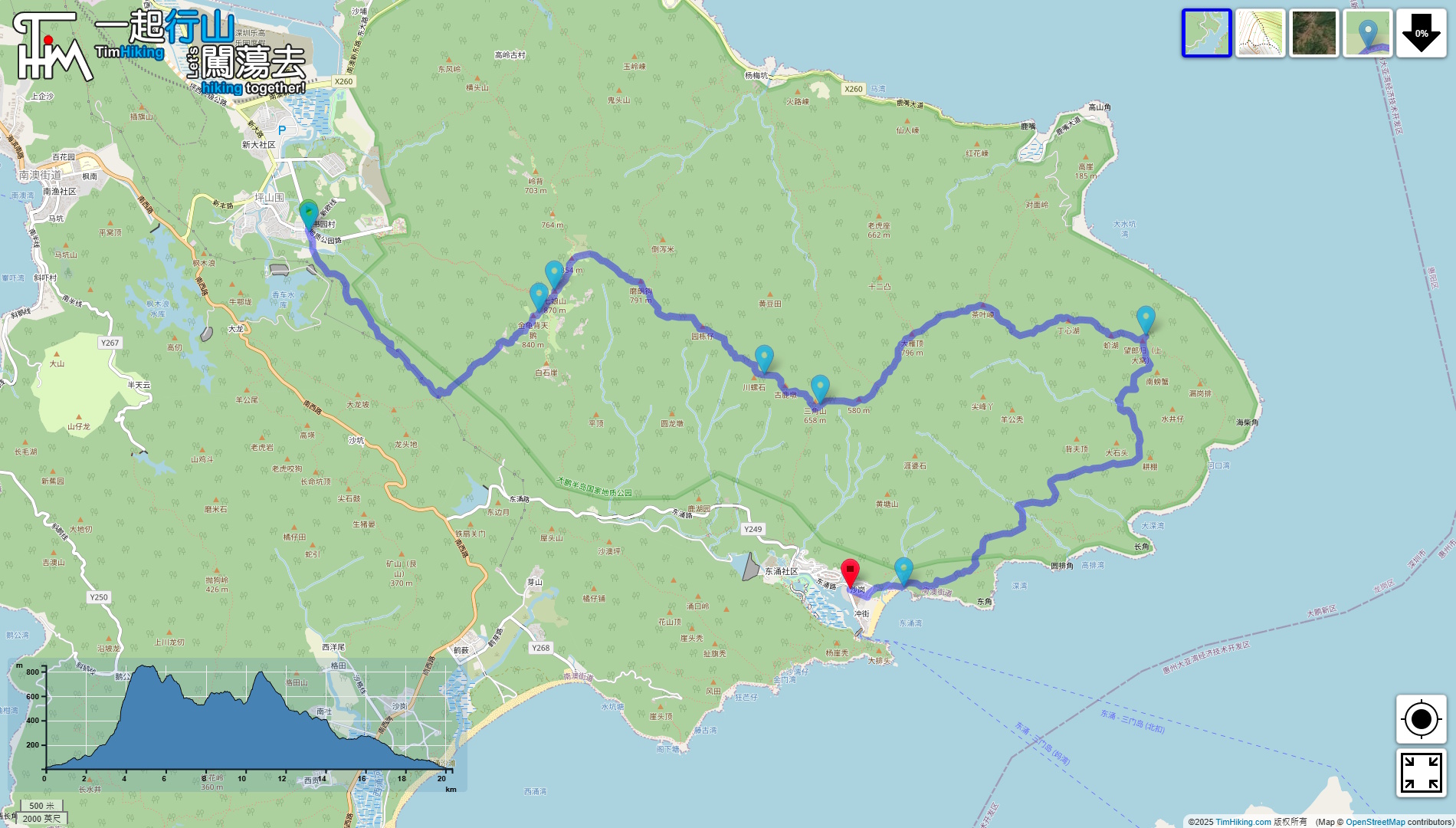
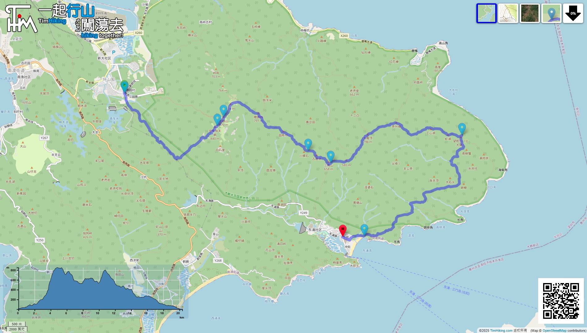
| Length : | 21.4km | ||
| Time : | 9hours | ||
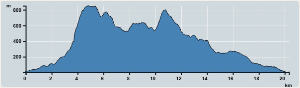 | |
| Ascent : 1,909m | Descent : 1,916m |
| Max : 851m | Min : 3m |
| (The accuracy of elevation is +/-30m) | |


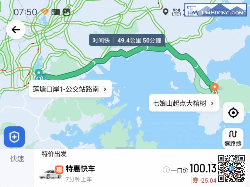
The starting point is at Dapeng Peninsula. Time is of the essence. Of course, we took a taxi directly to the entrance of the mountain trail. The destination is 'Qiniang Mountain Starting Point - Big Banyan Tree(七娘山起點大榕樹)'.
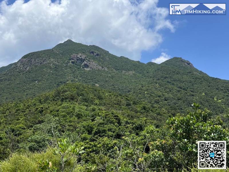
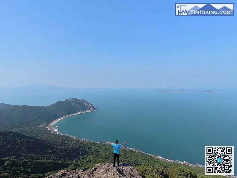
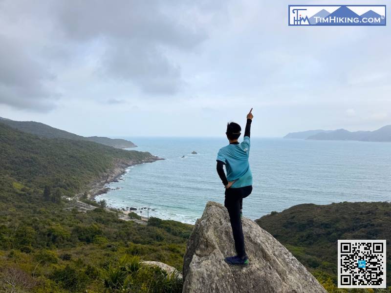
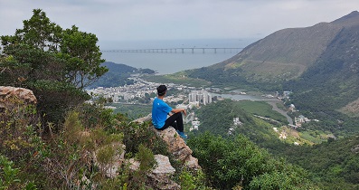
Qiniang Mountain is on the left and Dayan Peak is on the right. It is very clear when the weather is clear,
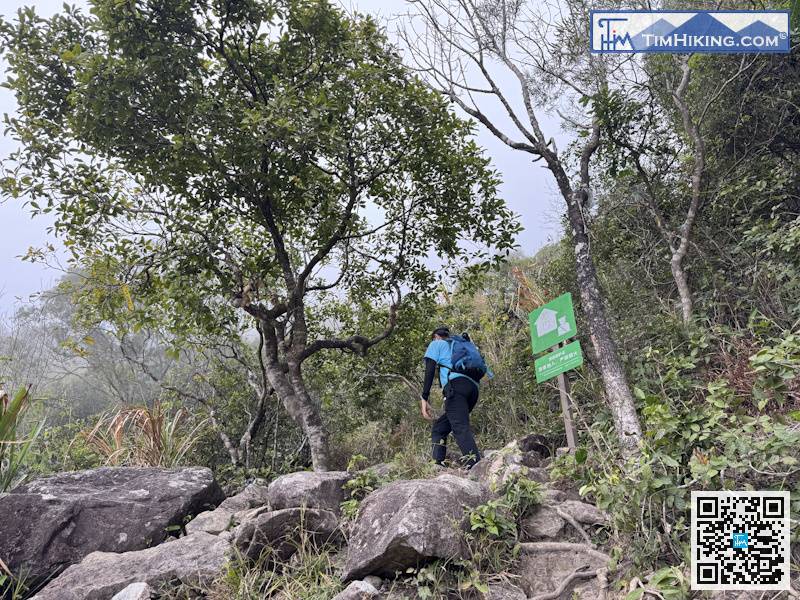
The first section of climbing the big rocks has been completed.
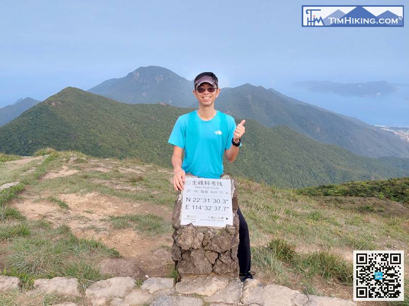
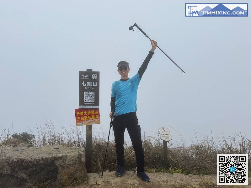
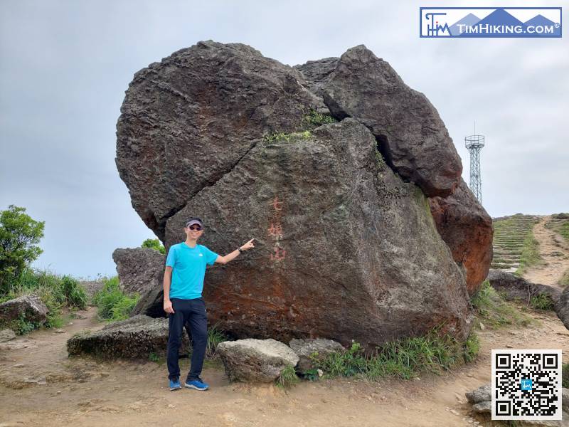
There are many signs on the top of Qiniang Mountain, including distance post ZF-18 of the Main Peak Route,
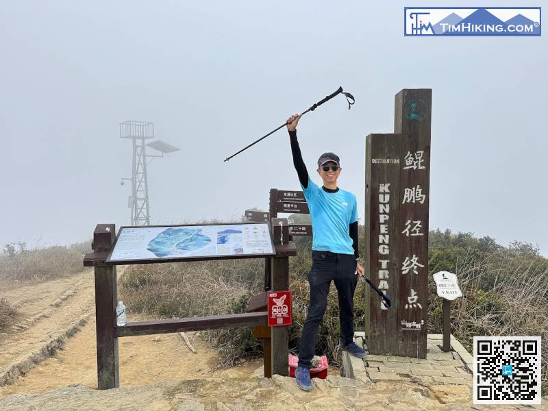
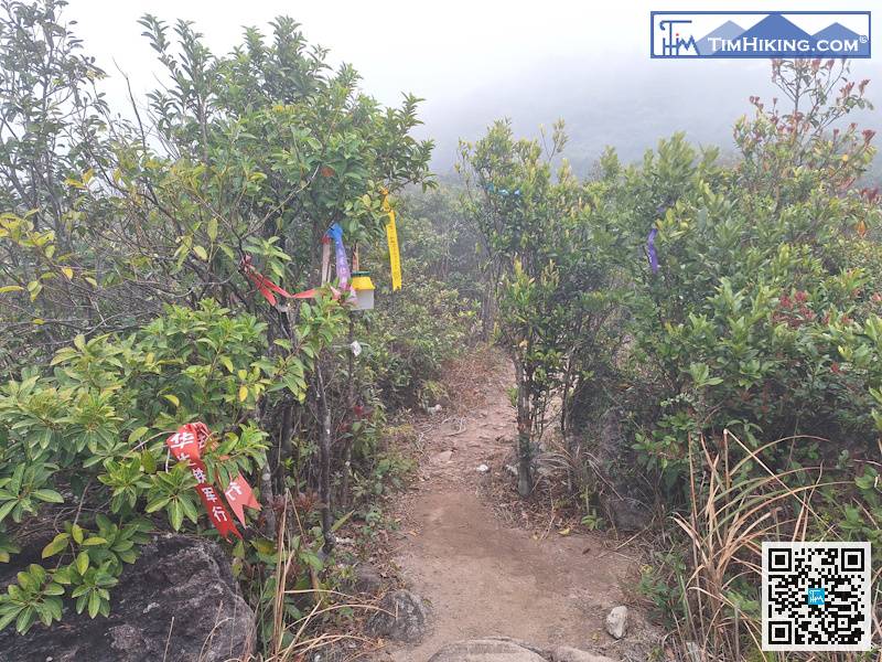
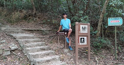
Since it is a resource patrol trail, not an unmanaged mountain trail, the road surface of the mountain trail is very clear and not blurry at all.
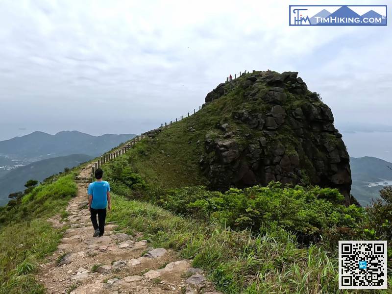
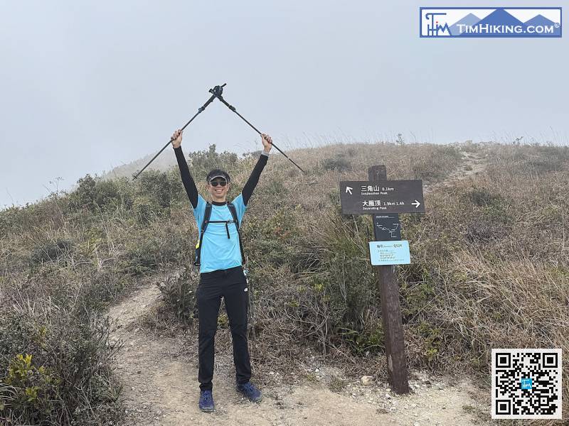
Next, it is the road to Sanjiaoshan.
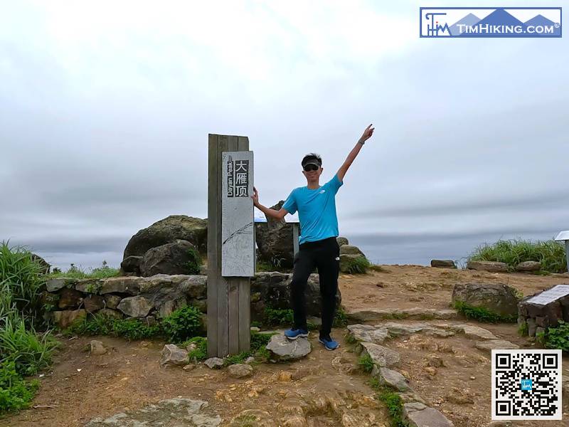
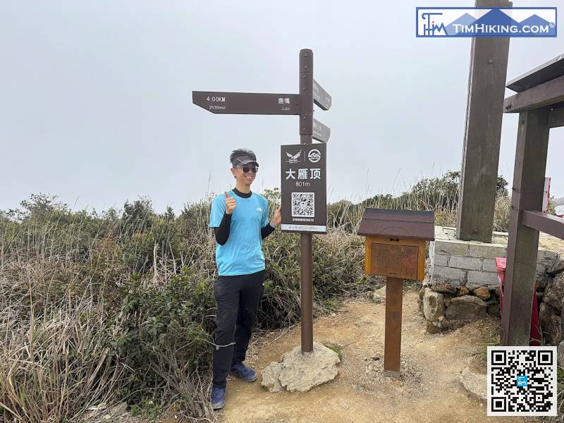
The old wooden pile of Dayan Peak has disappeared,
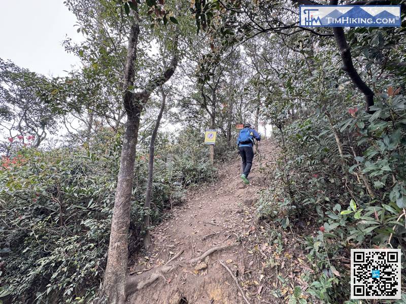
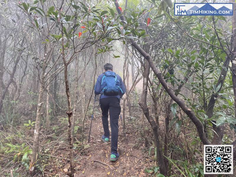
We followed the steep barren trail up.
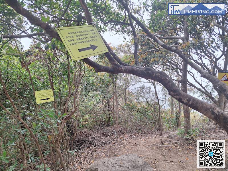
Don't follow the yellow sign when leaving,
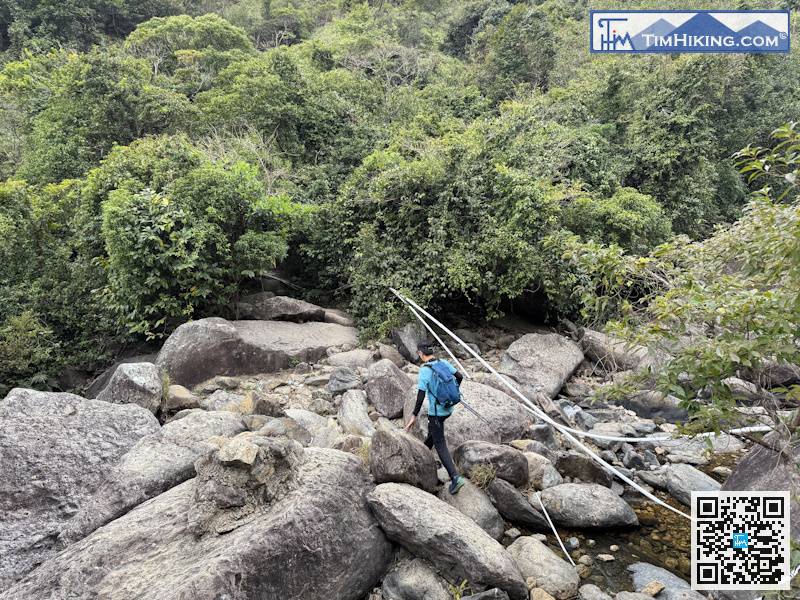
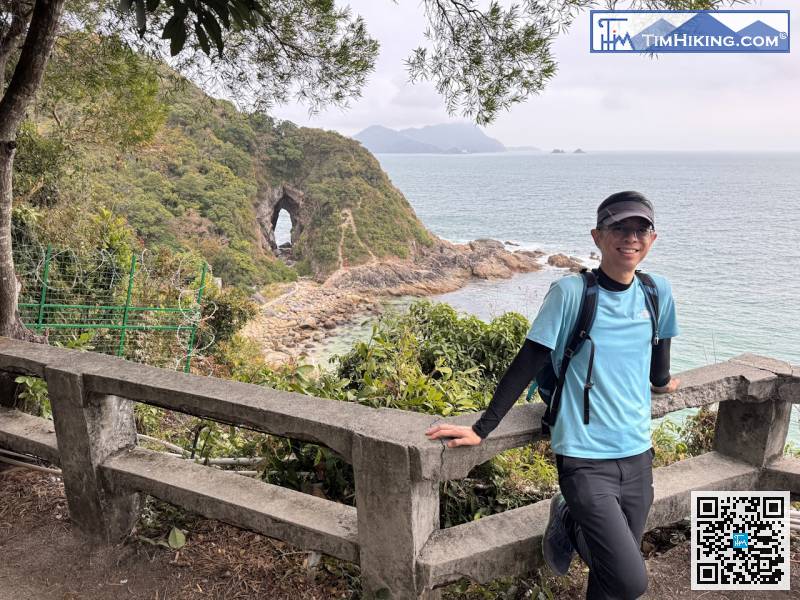
At the end of the trail, you have to cross a large rock stream.


