


 Recommend YouTube


| View : |  | ||
| Difficulty : |  | ||
| Path : | |||
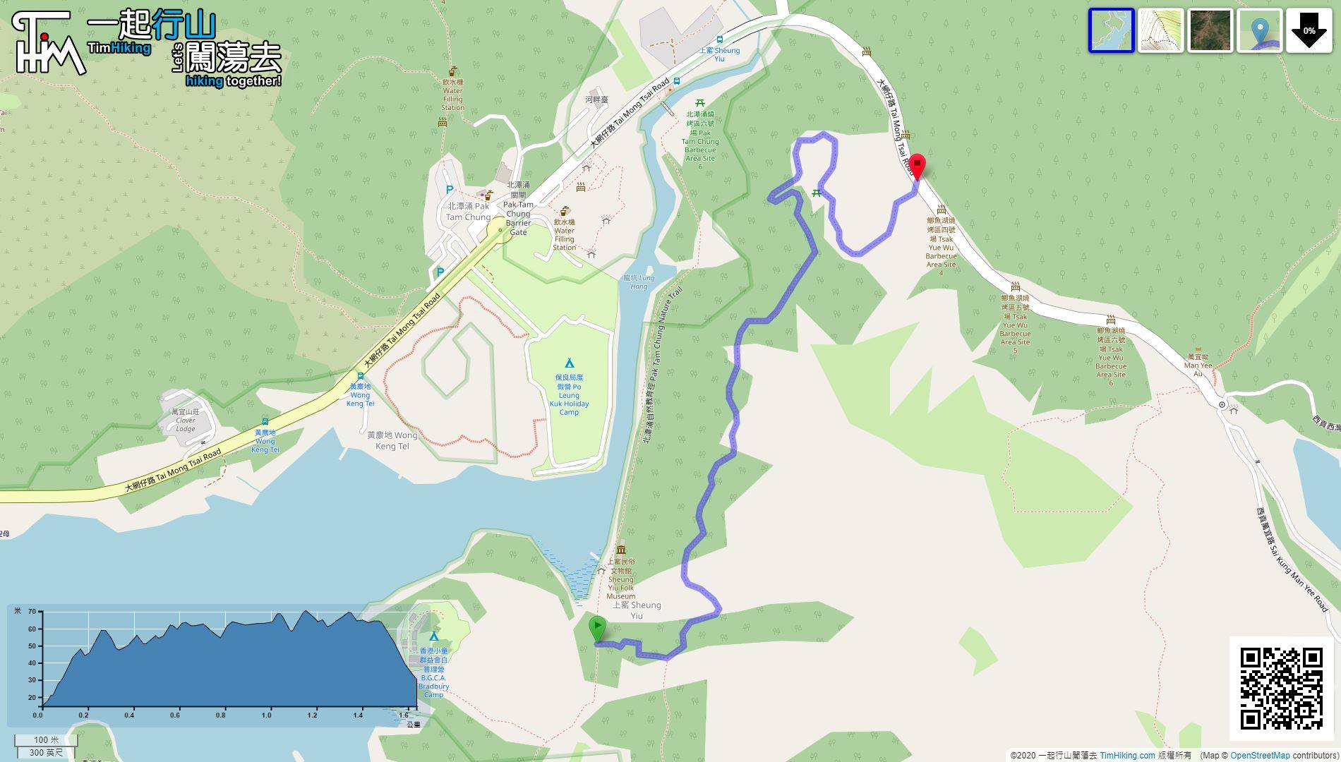
| Length : | 1.7km | ||
| Time : | ½hours | ||
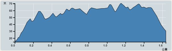 | |
| Ascent : 125m | Descent : 115m |
| Max : 70m | Min : 15m |
| (The accuracy of elevation is +/-30m) | |


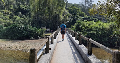
 4︰After crossing the Pak Tam Chung Fuk Hing Bridge,
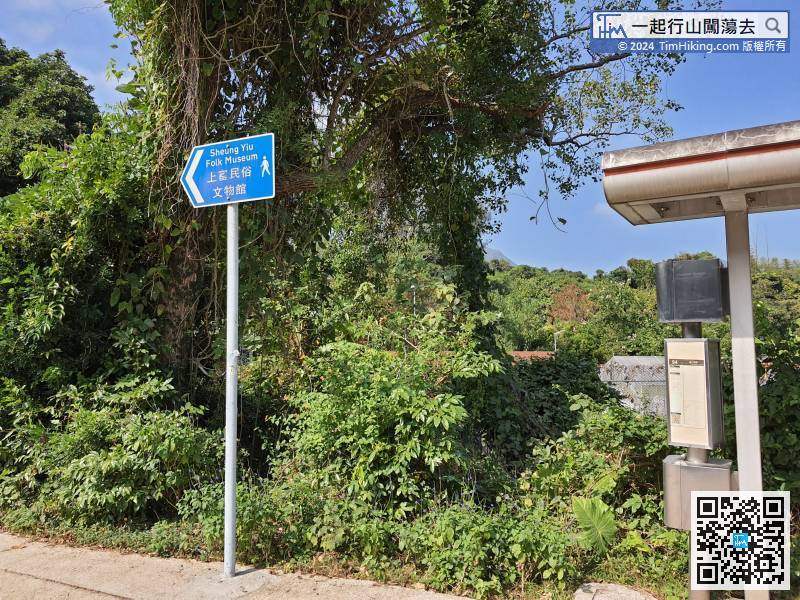 11︰and the actual object is at the back.
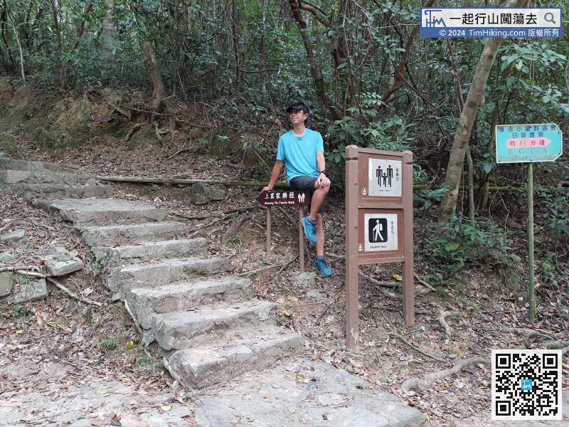
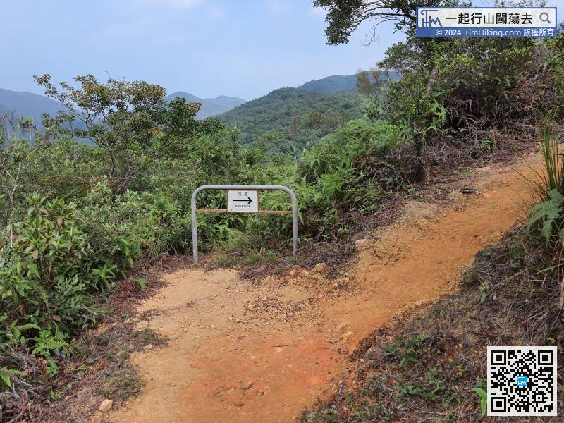
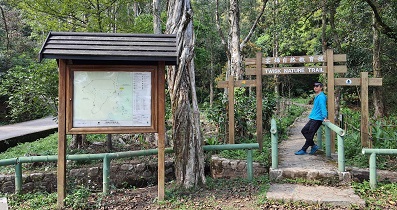
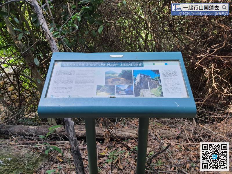 19︰and the left step is the starting point of the Sheung Yiu Family Trail.
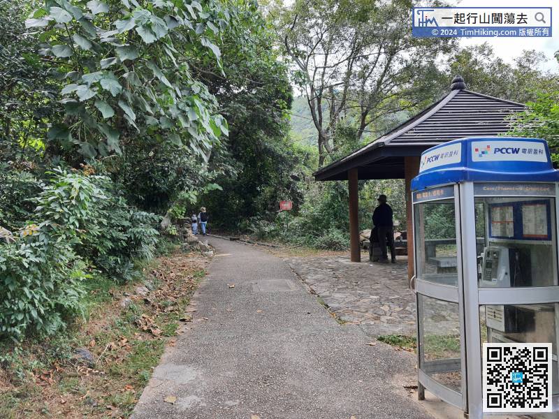 28︰Except for the initial steps, it is almost completely flat and has no upward slope at all.
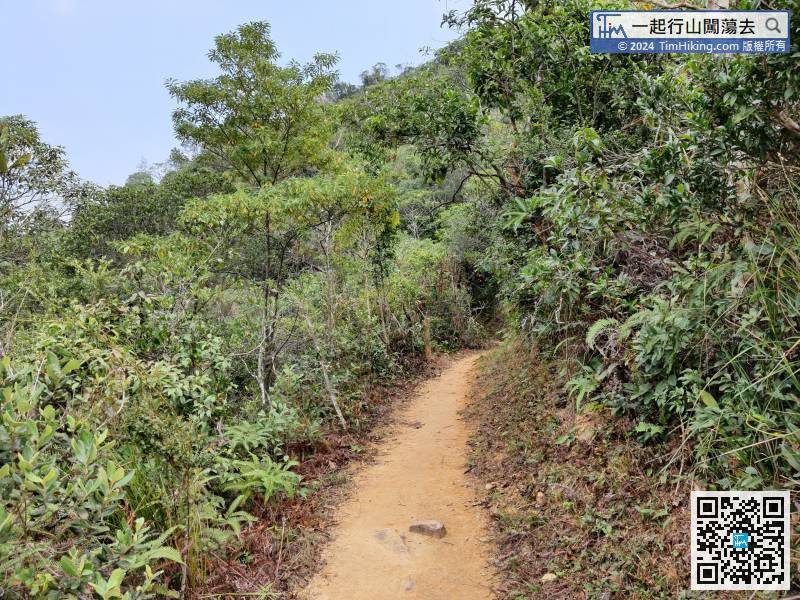
Except for the initial steps, it is almost completely flat and has no upward slope at all.
 42︰to reach the exit of Tai Mong Tsai Road.
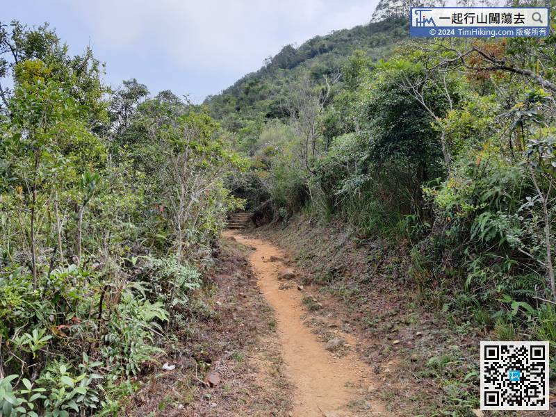


