


 Recommend YouTube


| View : |  | ||
| Difficulty : |  | ||
| Path : | |||
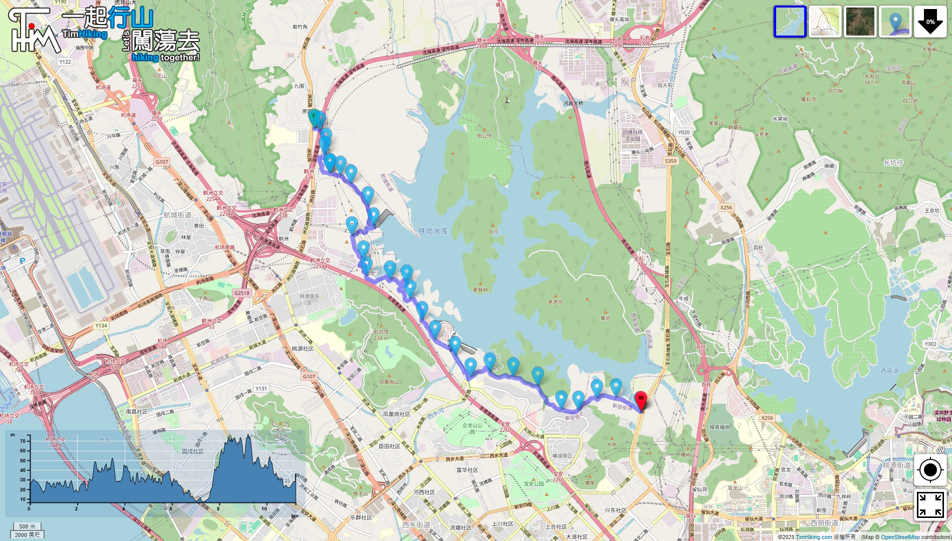
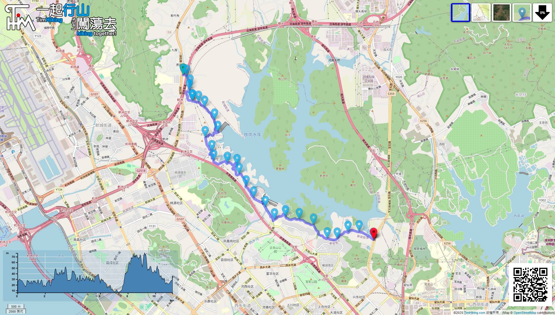
| Length : | 11.6km | ||
| Time : | 4hours | ||
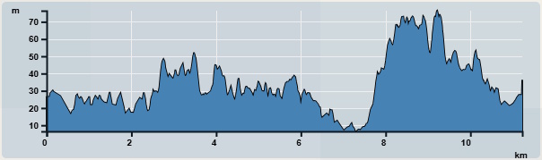 | |
| Ascent : 124m | Descent : 122m |
| Max : 76m | Min : 6m |
| (The accuracy of elevation is +/-30m) | |


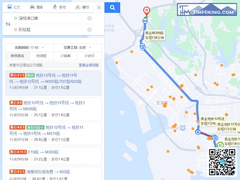
Go to the starting point of Kunpeng Trail Section 2. You can choose to take the bus or taxi. For detailed bus information, please check Baidu Maps according to your starting point.
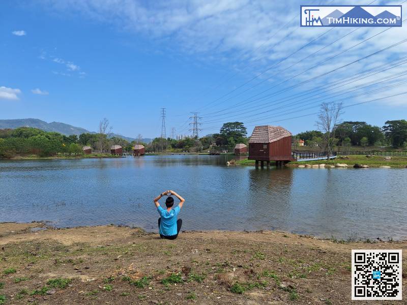
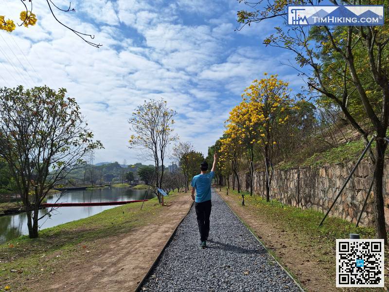
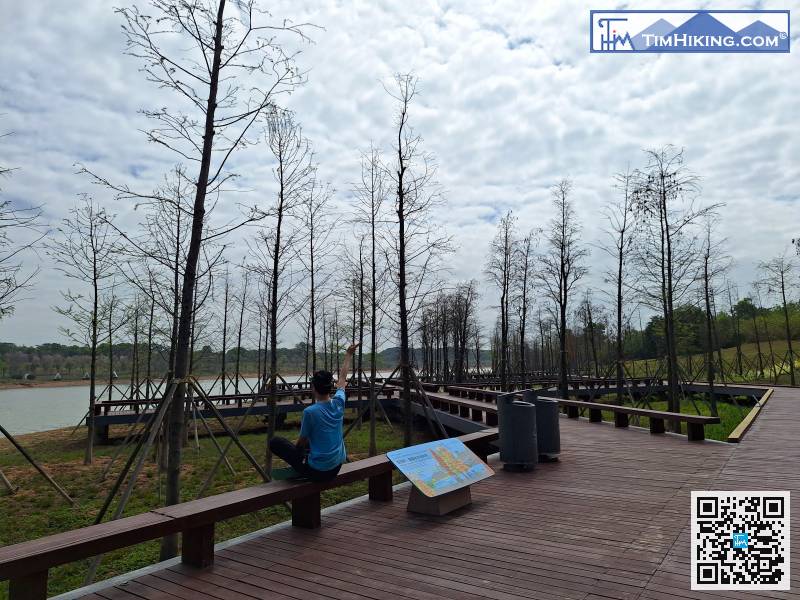
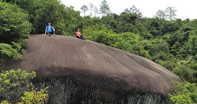
Life is busy, it's time to stop and rest by the lake, feel the beauty of nature with your heart,
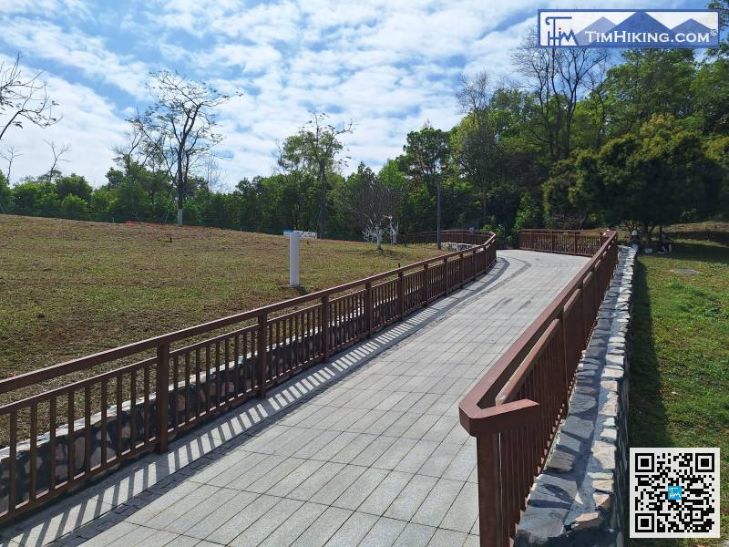
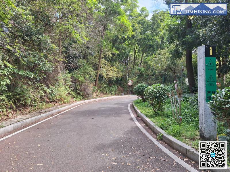
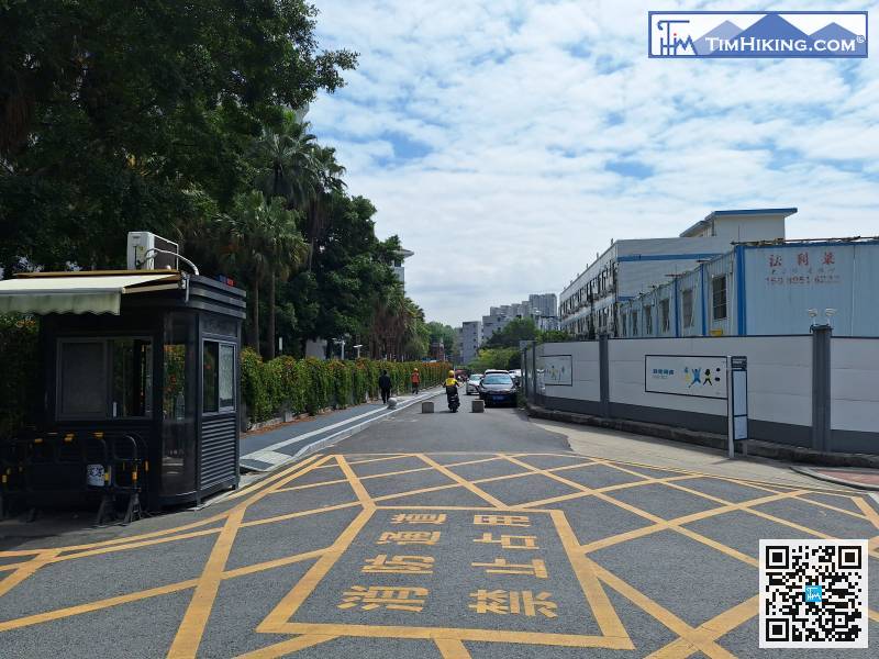
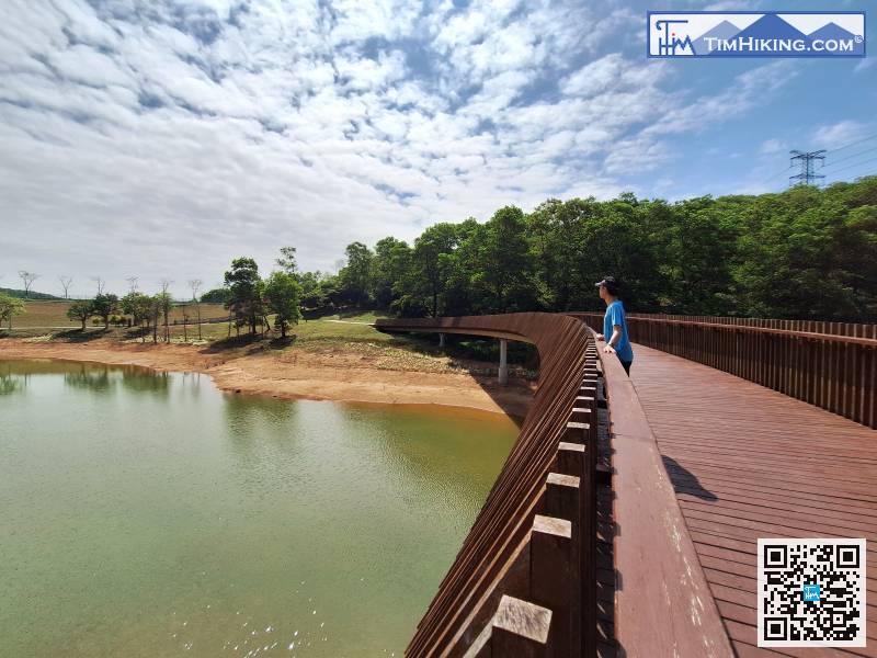
Next, follow the sidewalk,
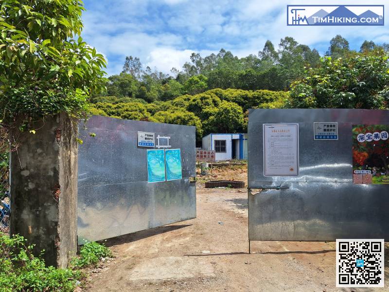
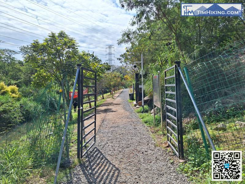
At the end, you will see a metal gate, which is the Tiegangcun Hiking Trail Entrance. If it is not open, push it open.
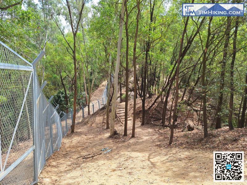
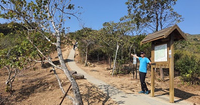
The trail has ups and downs,
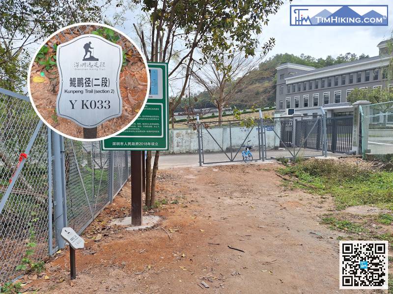
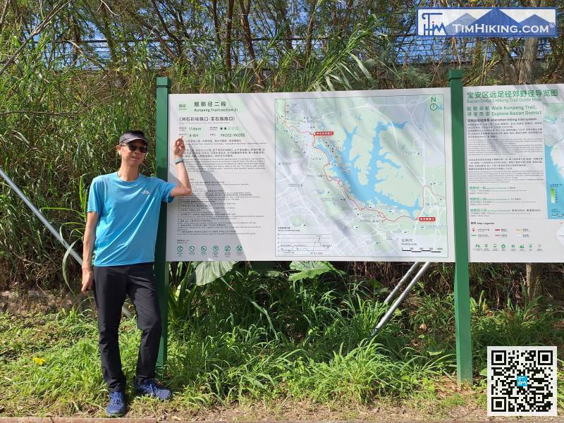
The distance post YK033 is located next to the large bulletin board.


