


 Recommend YouTube


| View : |  | ||
| Difficulty : |  | ||
| Path : | |||
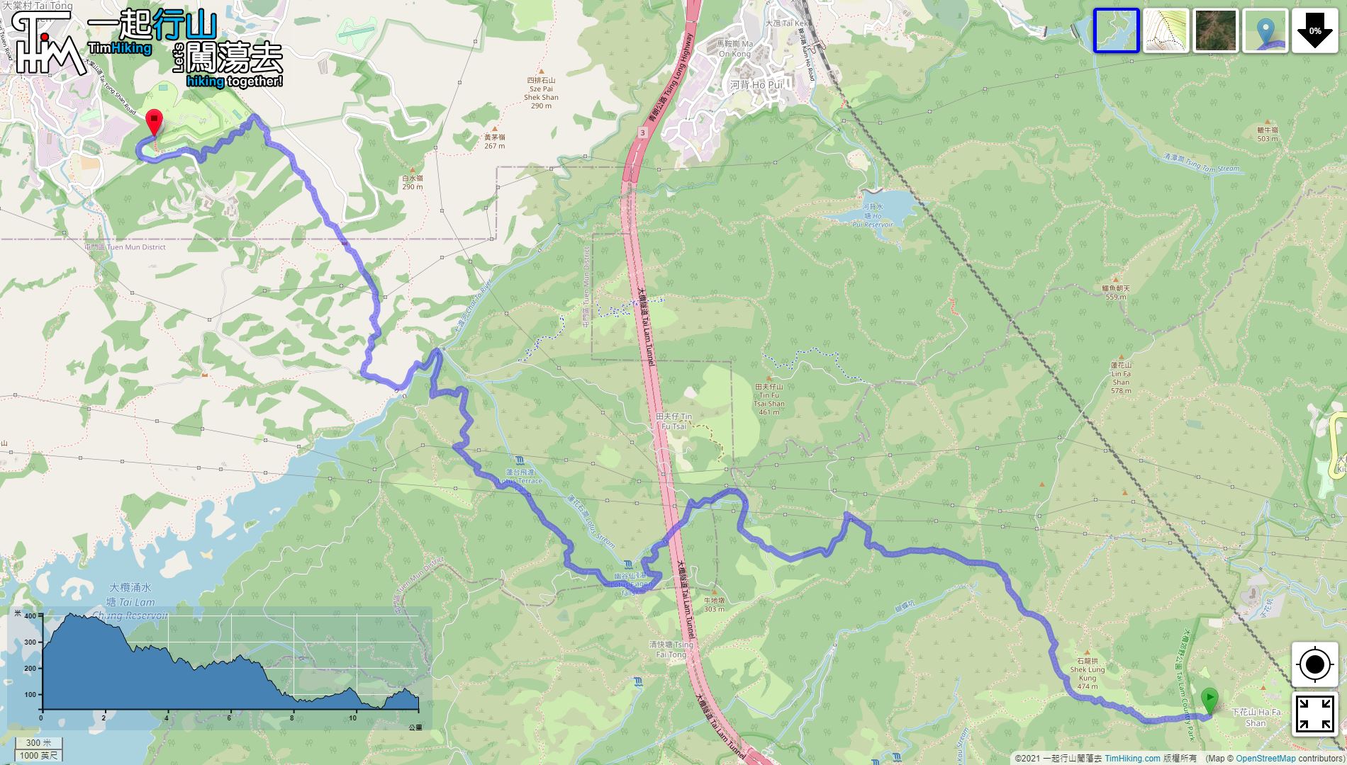
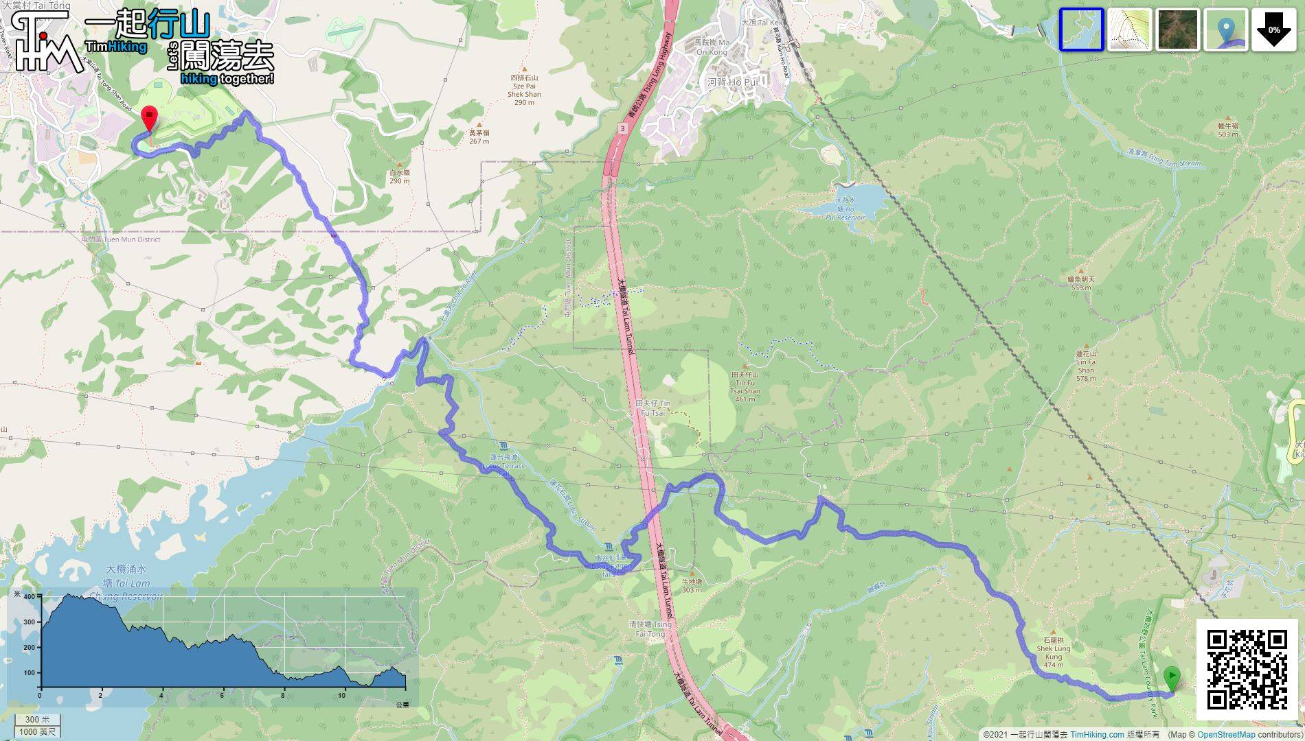
| Length : | 12km | ||
| Time : | 5½hours | ||
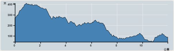 | |
| Ascent : 616m | Descent : 795m |
| Max : 409m | Min : 43m |
| (The accuracy of elevation is +/-30m) | |


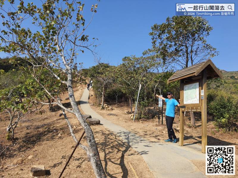
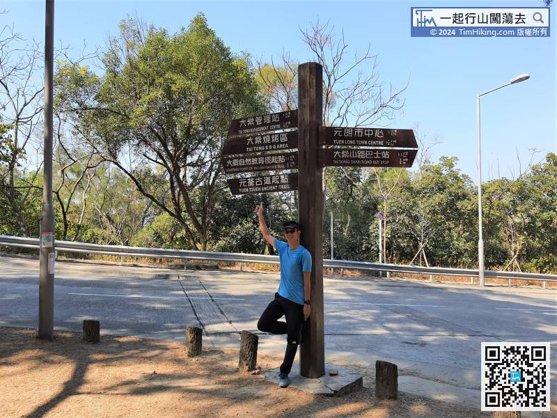
 12︰There are clear signs at each fork,
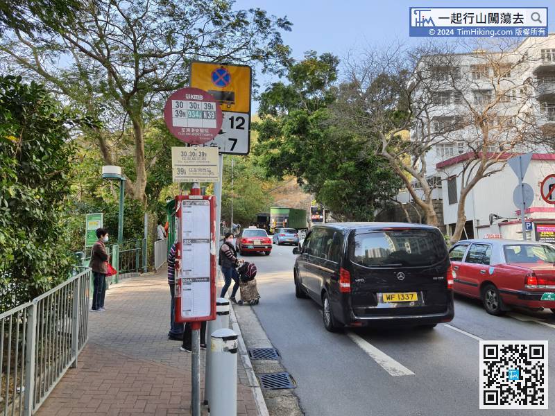
The starting point is near Tsuen Wan Adventist Hospital. There are many bus and minibus passing by.
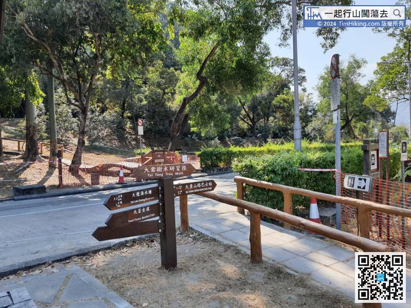
22︰The trail is a beautiful stone road,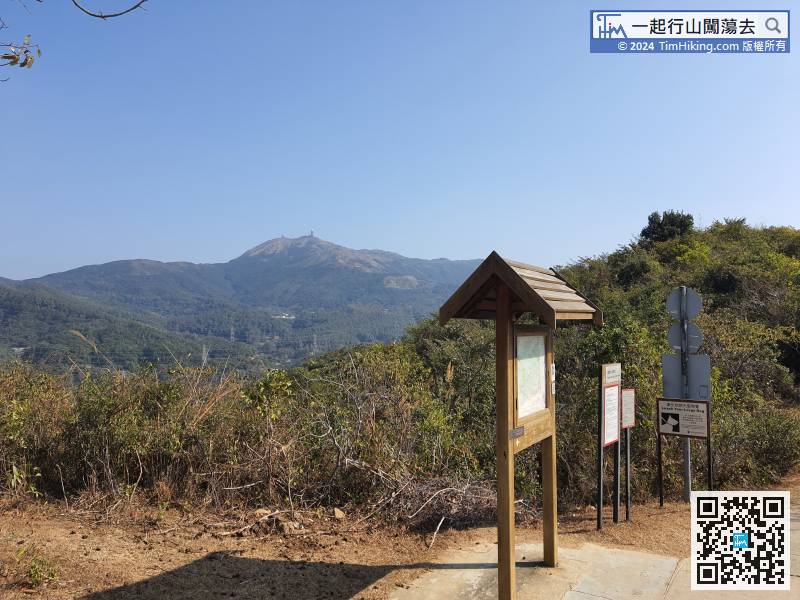 38︰In the next bifurcation,
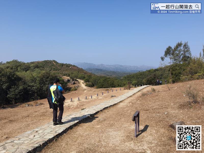
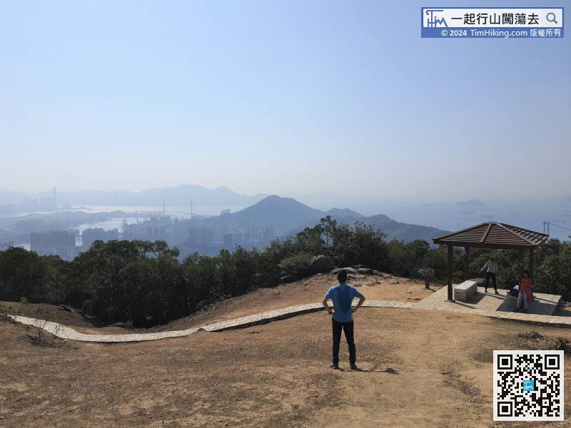
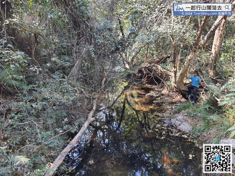
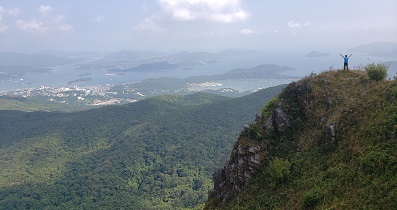
After having the perfect scenery, continue the journey, the remain distance is about 13km. If do not have sufficient time, better return by the coming path.
58︰After going through a long straight road,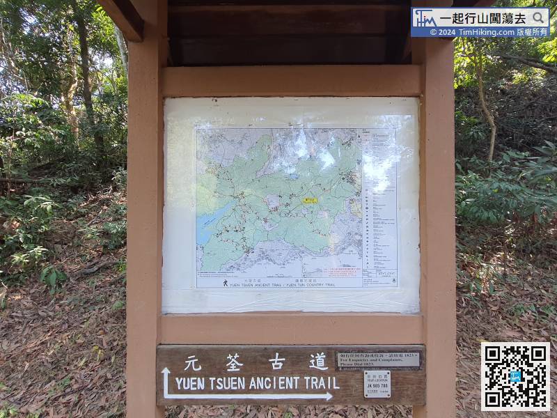 73︰followed by the MacLehose Trail,
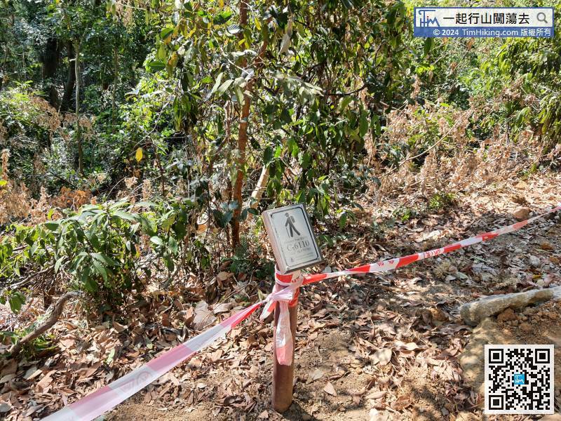 90︰pay attention to the bifurcated road on the right-hand side.
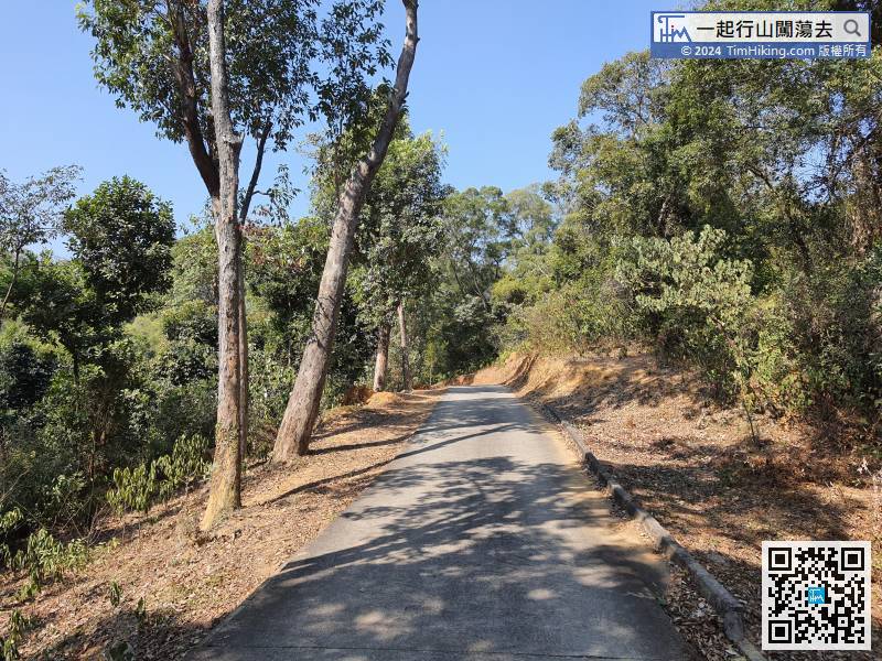 109︰Go straight for less than 1 minute, then come to another fork intersection,
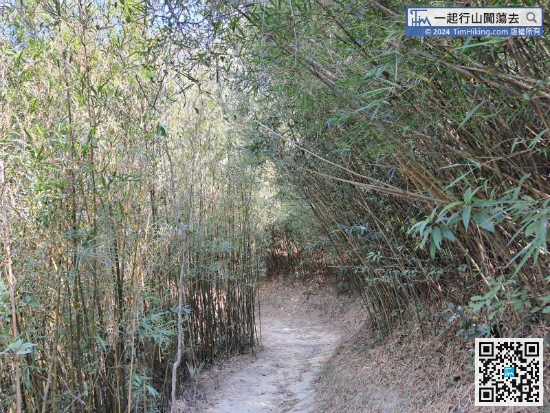
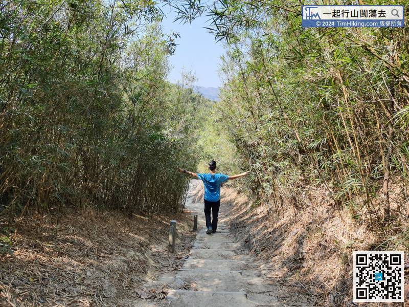
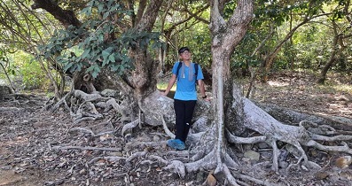
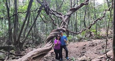
This bamboo forest is not long,
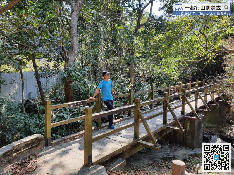
125︰and the Kat Hing Bridge is in front of it.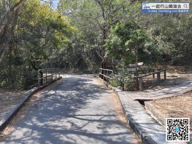
Many hikers feel Yuen Tsuen Ancient Trail is easy to get lost because there are so many bifurcations that are hard to remember, just like entering the barrier of Tai Lam Reservoir.
140︰Turn left can return to Tai Tong's concrete road early. Go straight is the continuation of Yuen Tsuen Ancient Trail.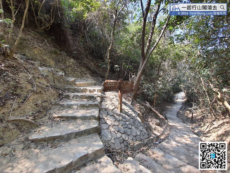
Turn left can return to Tai Tong's concrete road early. Go straight is the continuation of Yuen Tsuen Ancient Trail.


