


 Recommend YouTube

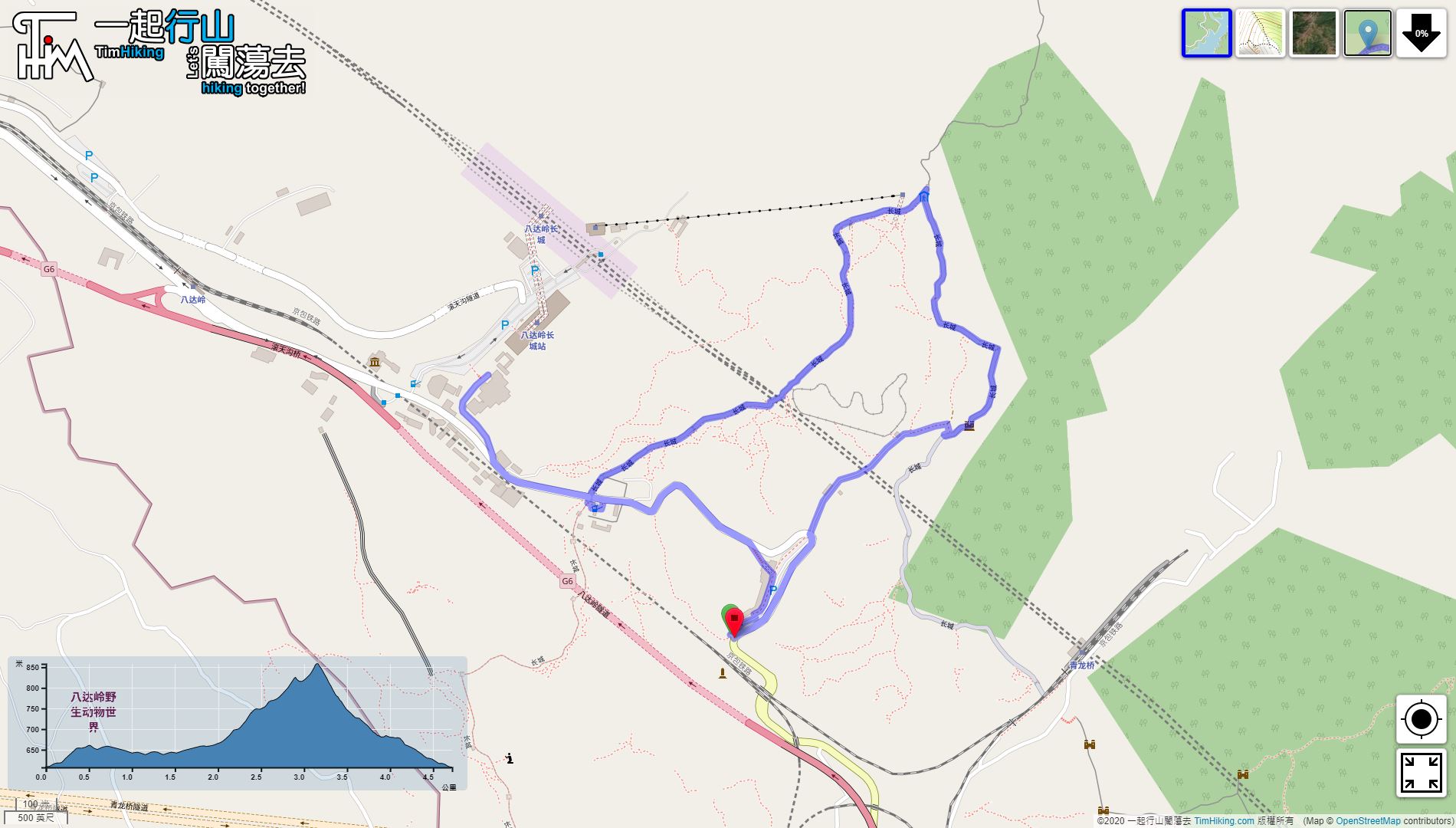

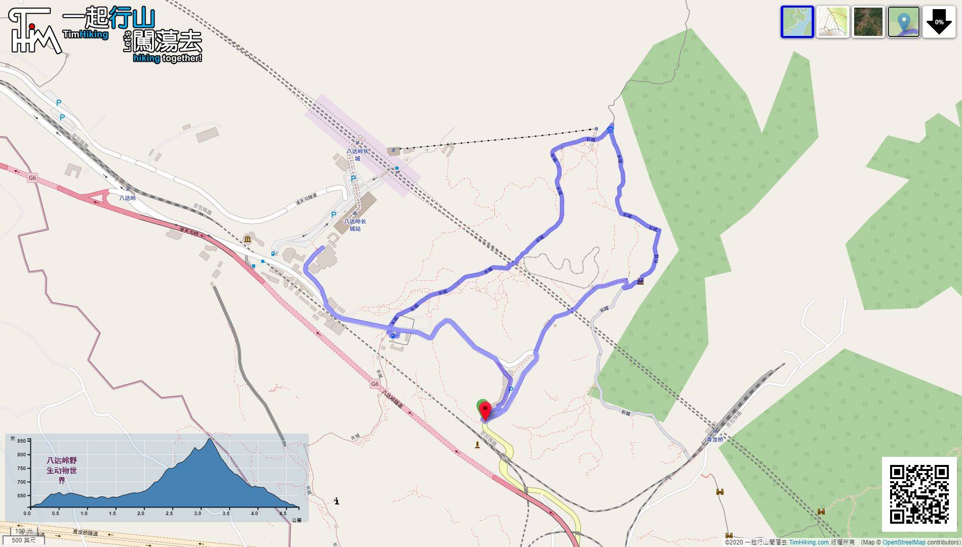
| View : |  | ||
| Difficulty : |  | ||
| Path : | |||
| Length : | 4.8km | ||
| Time : | 2hours | ||
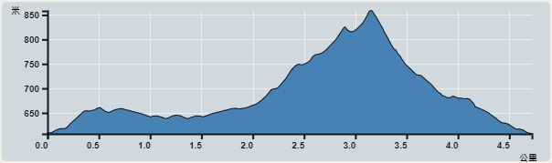 | |
| Ascent : 341m | Descent : 341m |
| Max : 858m | Min : 607m |
| (The accuracy of elevation is +/-30m) | |


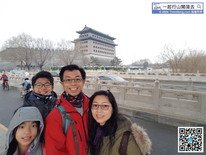
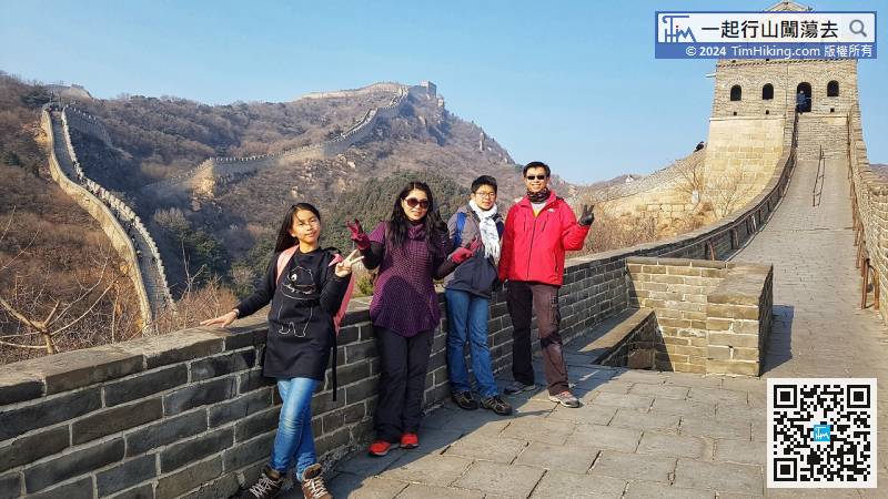
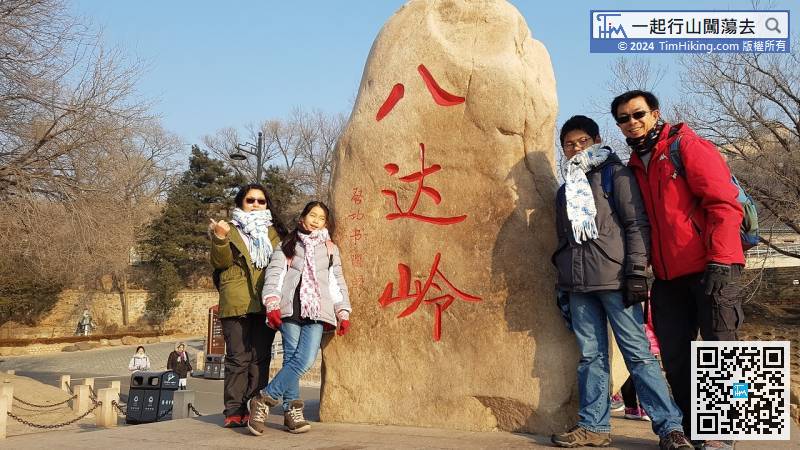
Road 877 is at the end of the bus station, need to cross the road to Deshengmen Arrow Tower to take the bus.
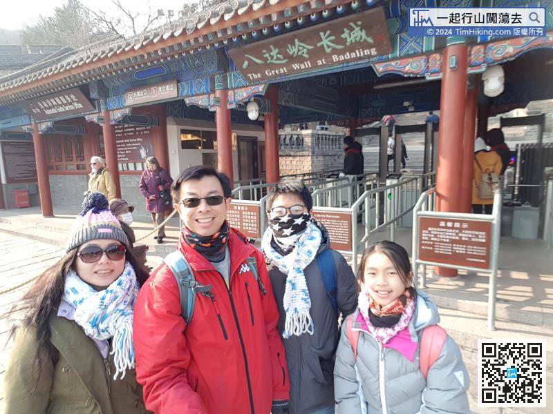
After getting off, go directly to the entrance to the city.


