


 Recommend YouTube

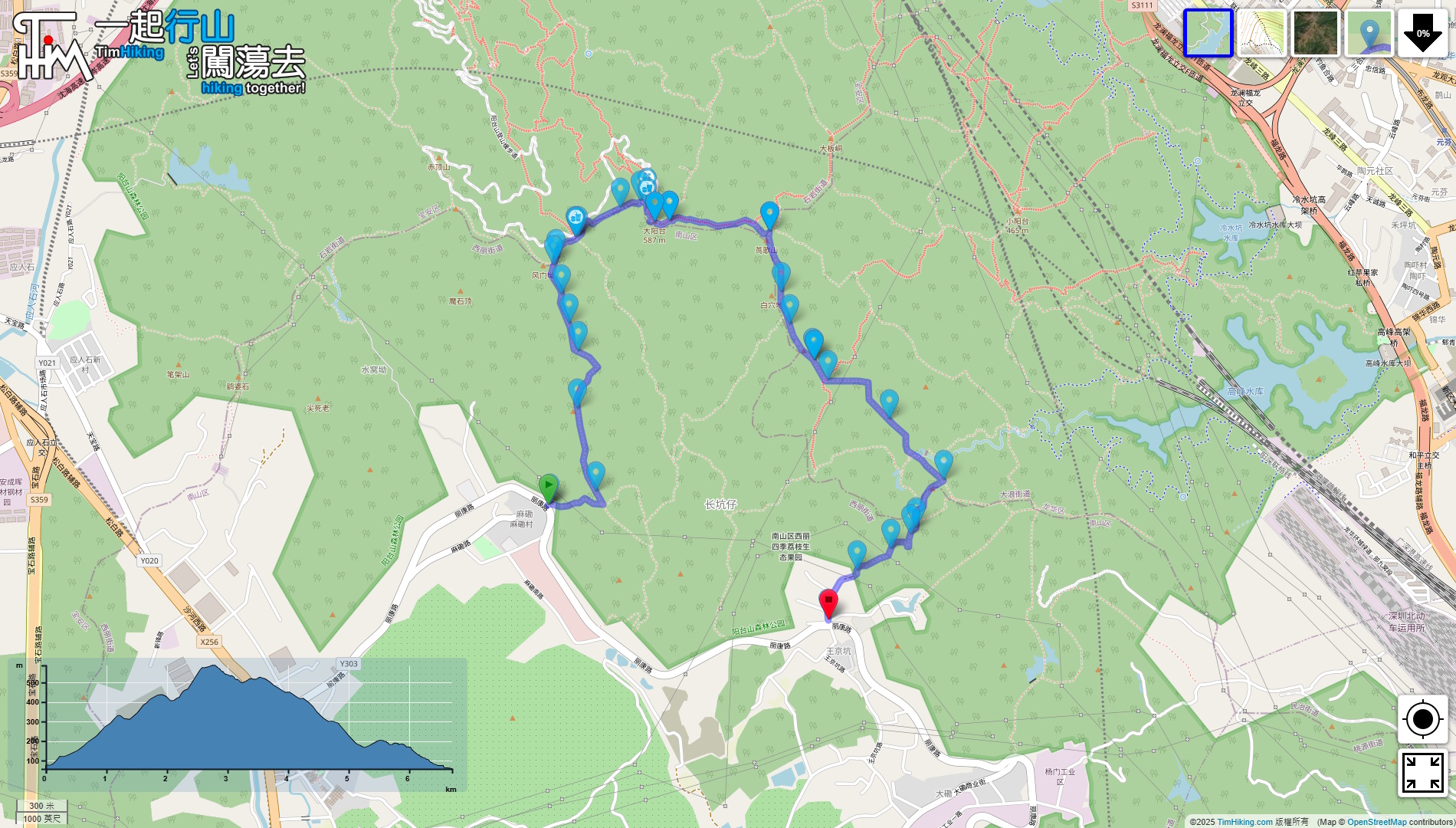

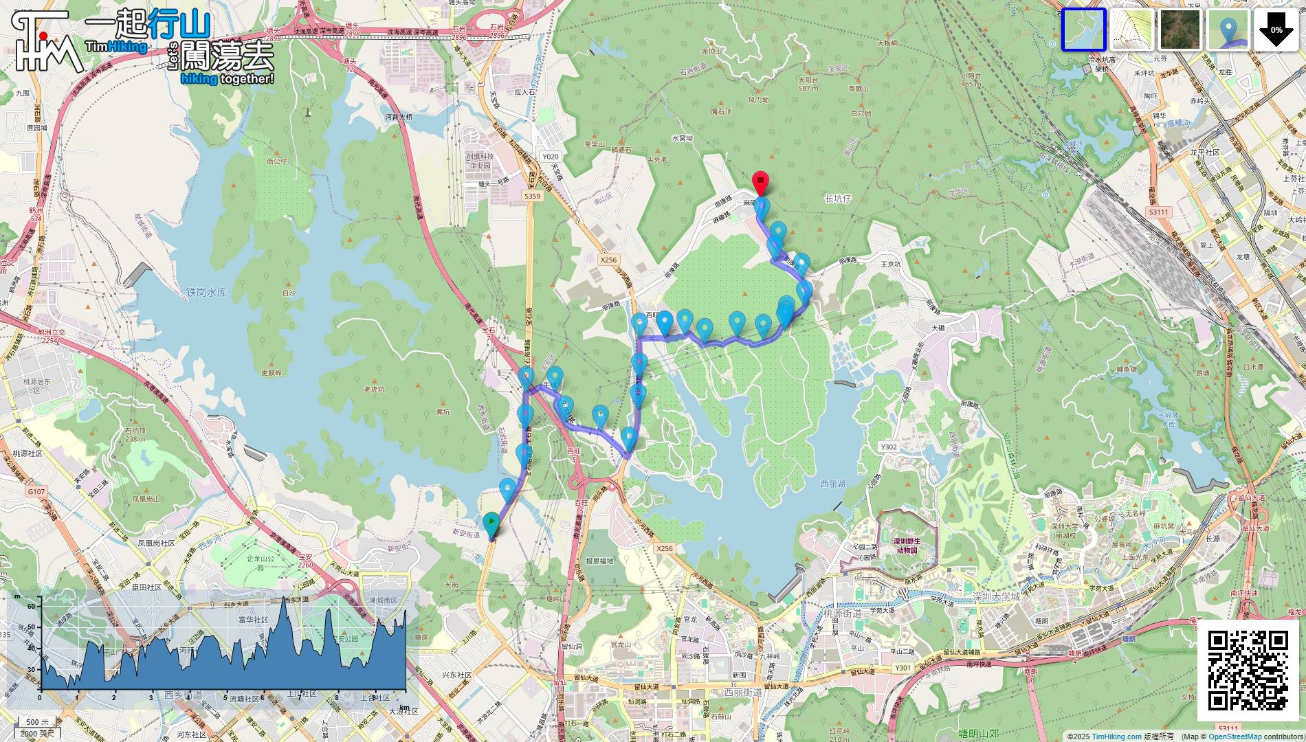
| View : |  | ||
| Difficulty : |  | ||
| Path : | |||
| Length : | 7km | ||
| Time : | 4hours | ||
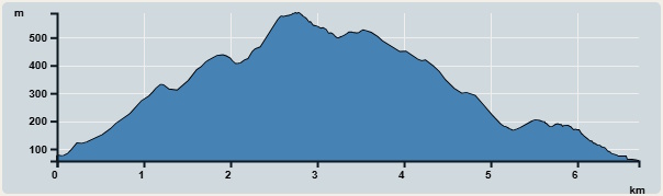 | |
| Ascent : 556m | Descent : 568m |
| Max : 588m | Min : 57m |
| (The accuracy of elevation is +/-30m) | |

 Self-service vending machines
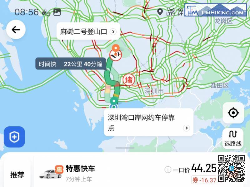
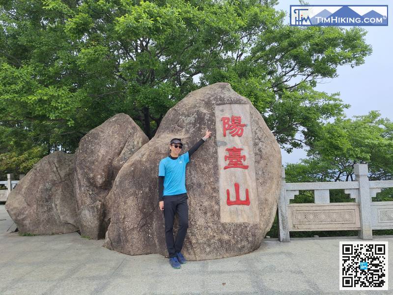
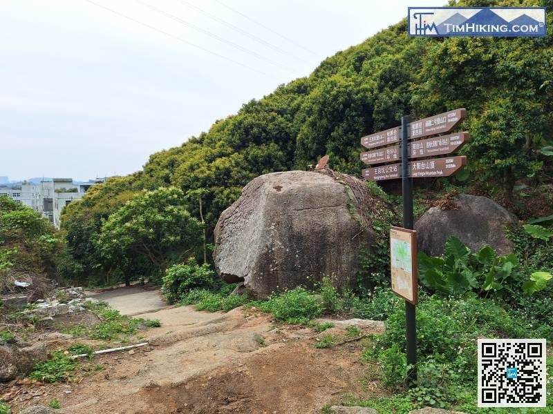
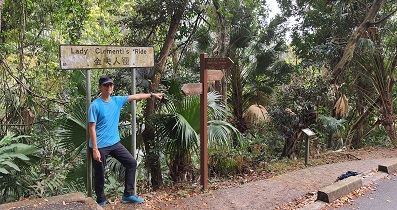
The location of the Hiking Trail Entrance is a bit far away. It is recommended to take a taxi directly and enter 'Makan Hiking Trail Entrance No.2(麻磡二號登山口)' as the destination.
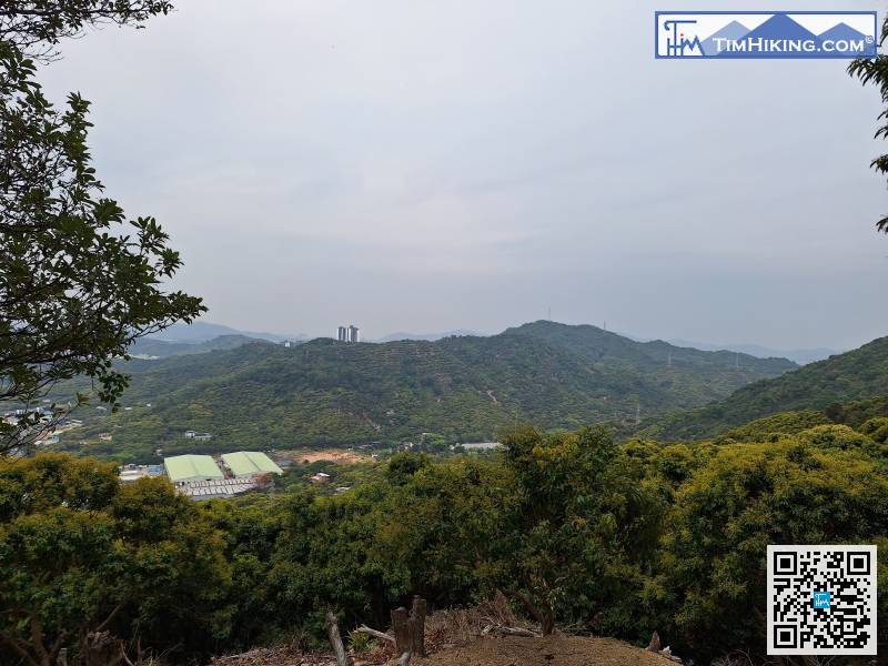
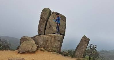
After lying down, there is a place for hikers to rest a little further up the mountain.

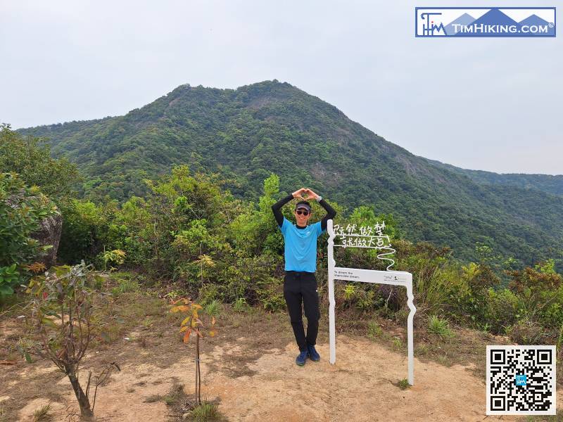
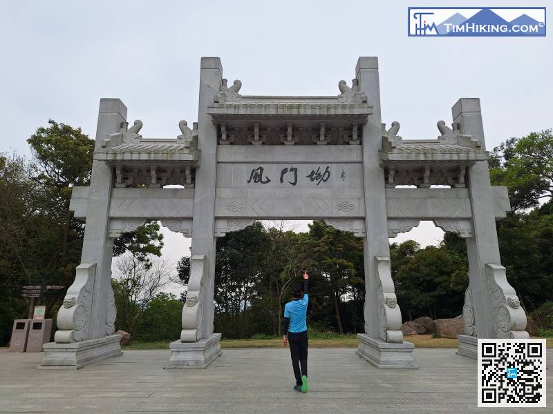
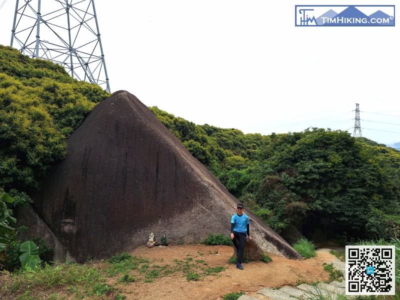
This route will not make you feel bored. Many of the check-in signs are ingenious. I like this one 'Since you have a dream, make it bigger!'
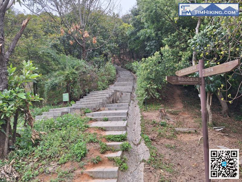
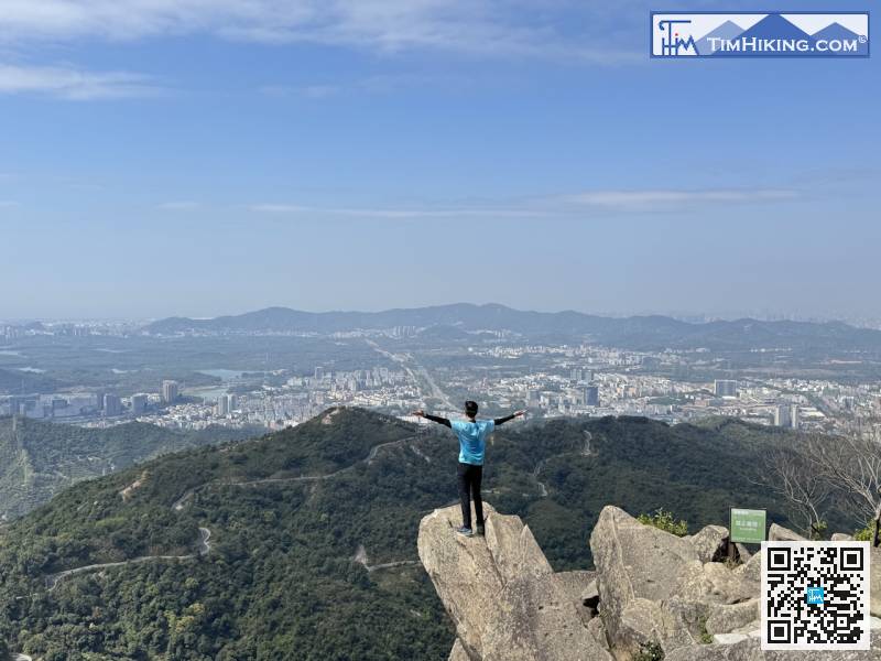
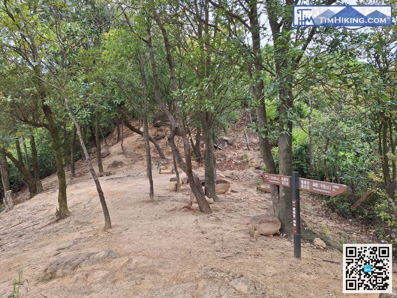
After sorting, we continued. Kunpeng Trail is a staircase, not a road.
After taking photos, leave from the right-hand side stairs,
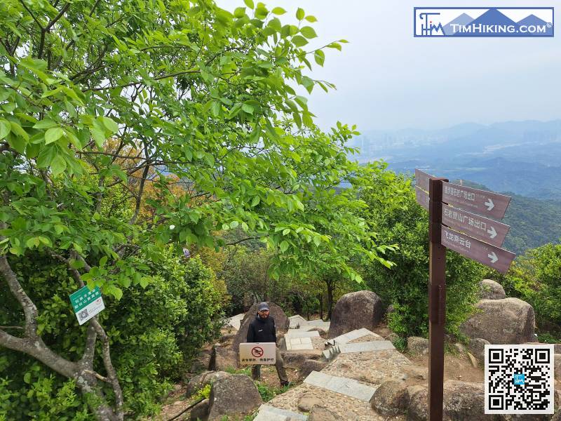
When you go down the mountain from this side,
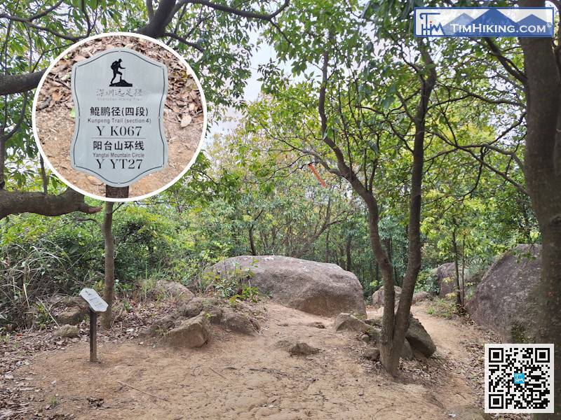
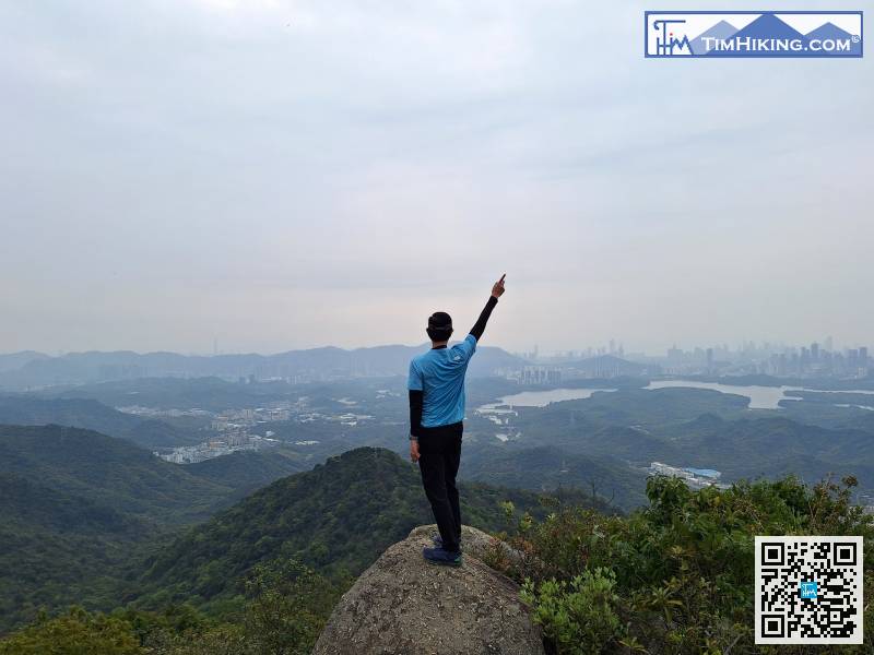
In the blink of an eye, come to distance post YK067.
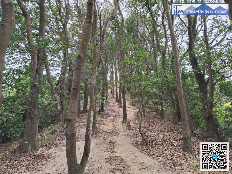
This section of the road is the most blurry of the whole journey.
There are only 420 meters left to the end point, which is about 10 minutes of journey.


