


 Recommend YouTube


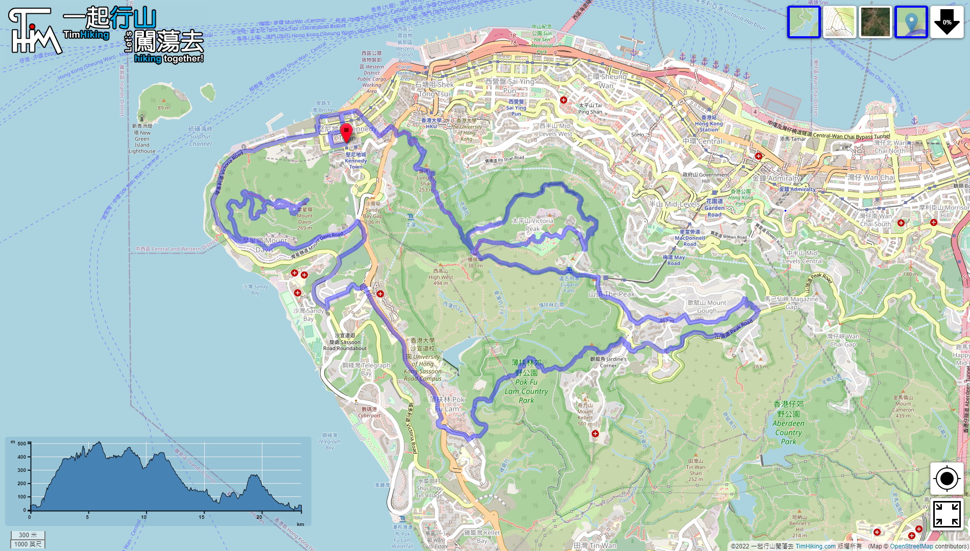


| View : |  | ||
| Difficulty : |  | ||
| Path : | |||
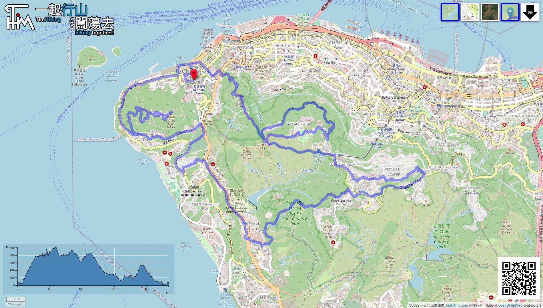
| Length : | 23.5km | ||
| Time : | 6hours | ||
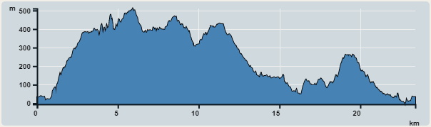 | |
| Ascent : 1,962m | Descent : 1,963m |
| Max : 511m | Min : 0m |
| (The accuracy of elevation is +/-30m) | |


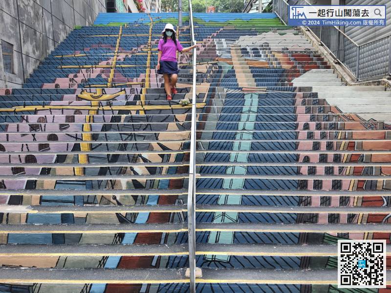
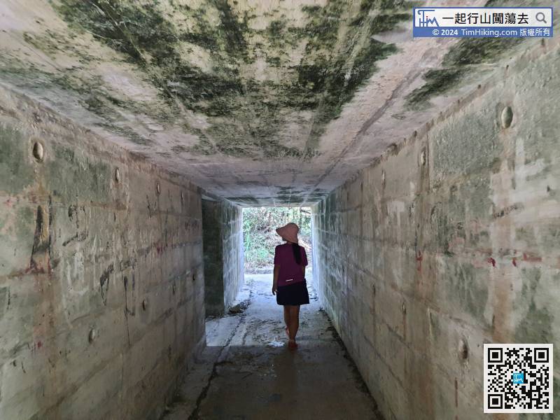
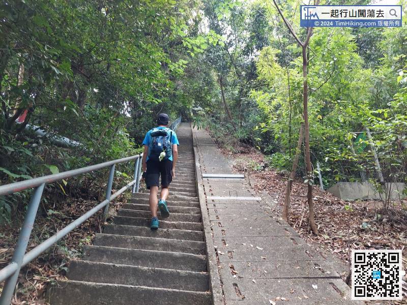
 12︰walk on the beautiful stairs at the end,
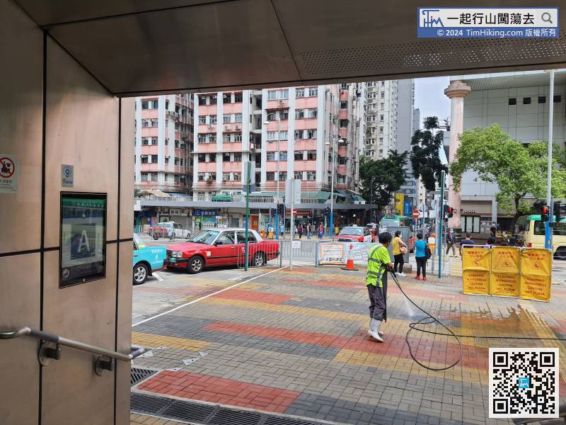
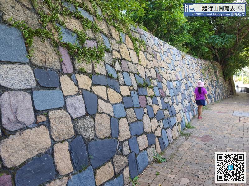
The starting point is set at Kennedy Town Station. Hikers can also start anywhere on the line, just walk a round trip to return to the starting point.
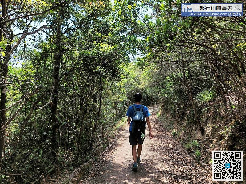
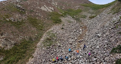
The first section is from an infinite step,
Turn left at the fork at High West,
Start drawing the tail of the dinosaur, go around Peak Galleria,
123︰just behind the Twelve Peaks, next to the big tree,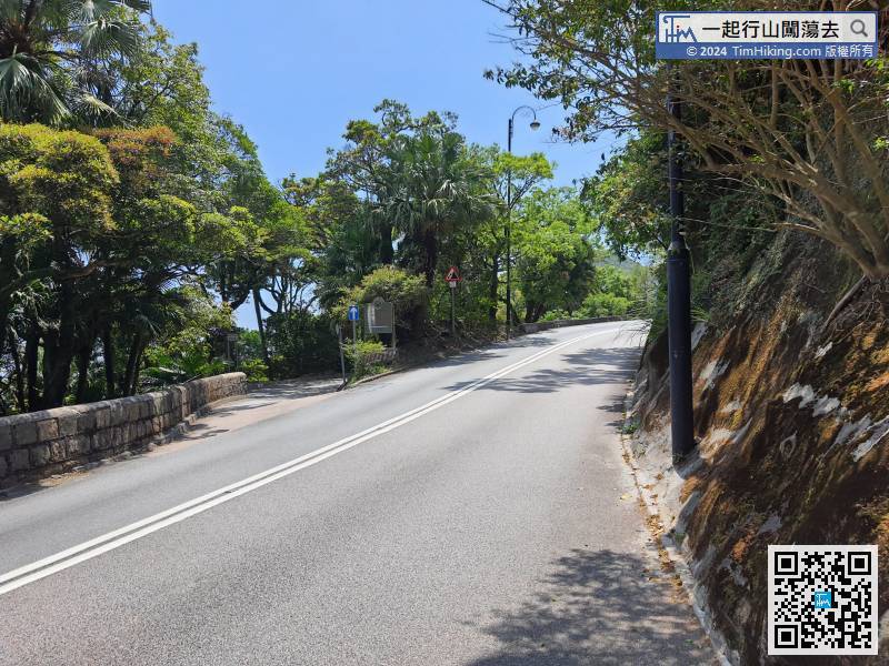
Walkabout 200 meters, will see another concrete road on the left,
Keep right at the concrete road,
Connect to Bisney Road, start to draw the hand of the dinosaur,
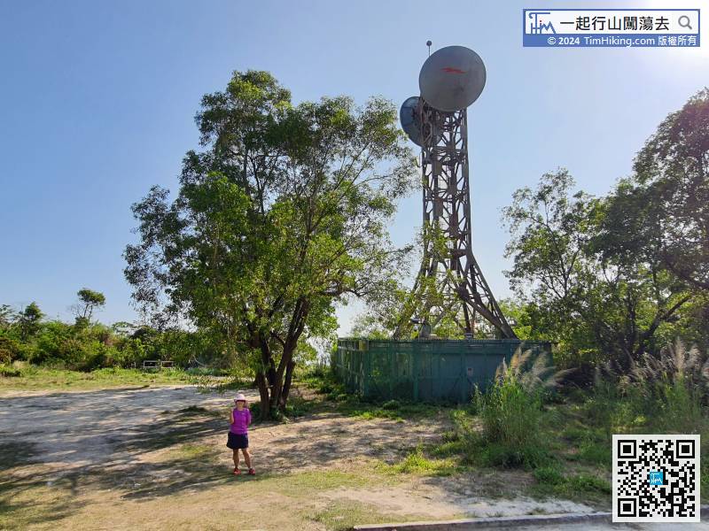
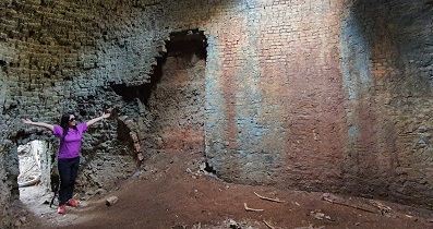
188︰will come to the top of Mount Davis, where there is a Microwave Station.
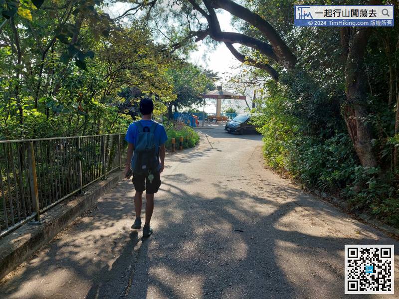
At Mount Davis Road, turn left
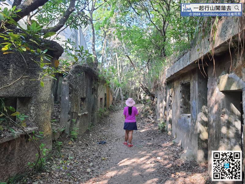
Next to the Mount Davis Sitting-out Area No.1


