


 Recommend YouTube


| View : |  | ||
| Difficulty : |  | ||
| Path : | |||
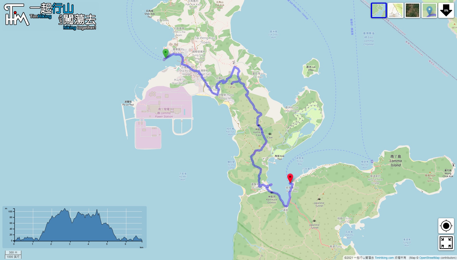
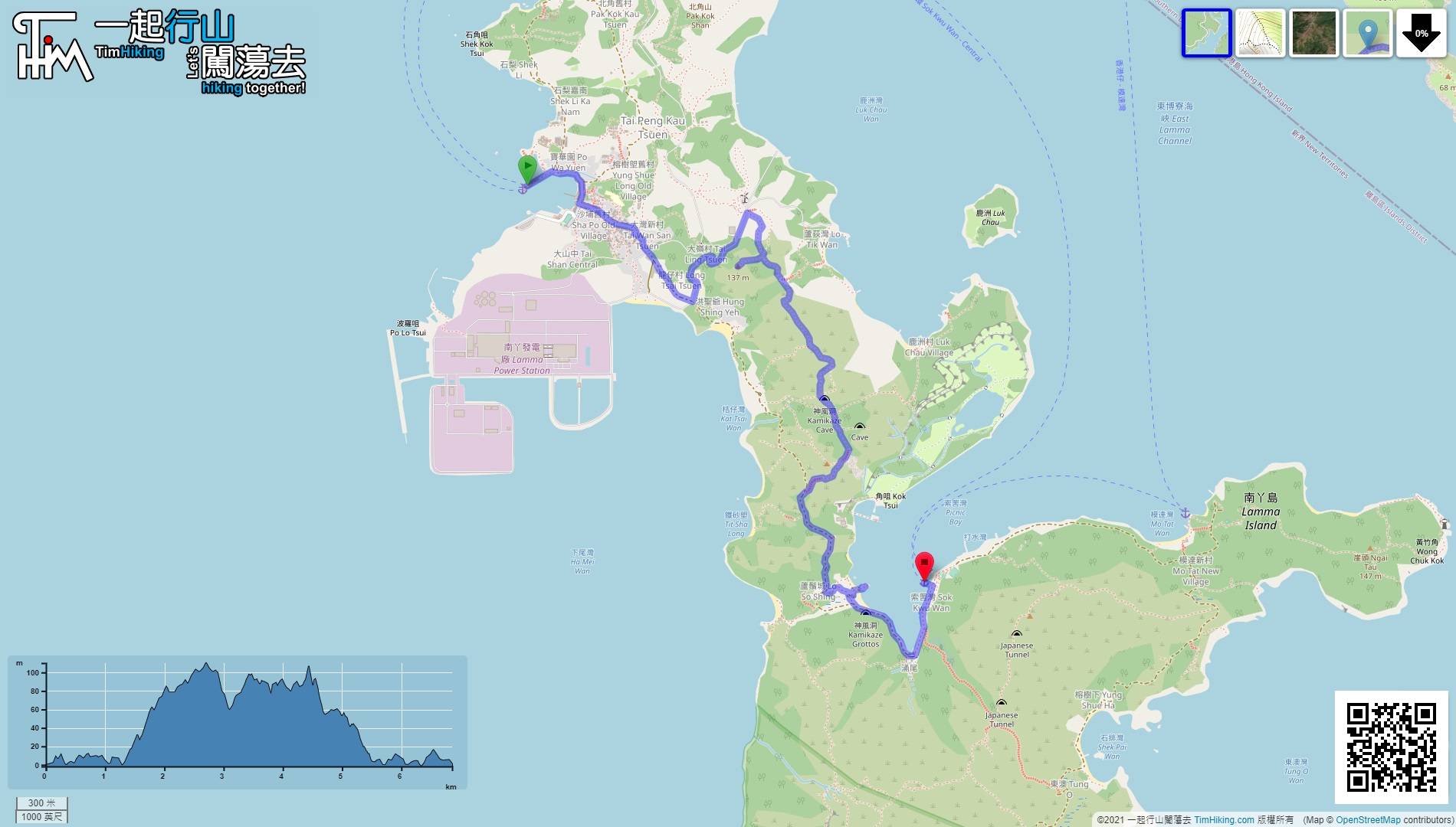
| Length : | 7.1km | ||
| Time : | 3½hours | ||
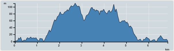 | |
| Ascent : 326m | Descent : 325m |
| Max : 110m | Min : 0m |
| (The accuracy of elevation is +/-30m) | |


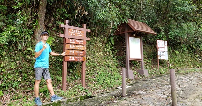
 18︰just walk slowly.
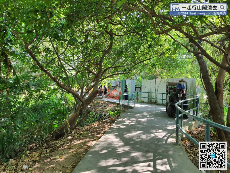 31︰can find an obvious bifurcation to Mount 137 on the right.
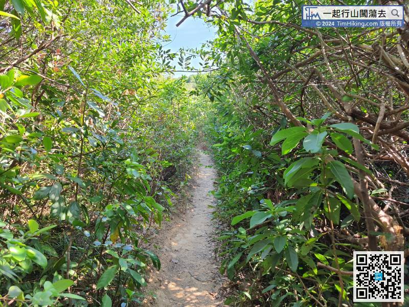
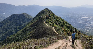
The trail is very clear, although there is a bit of weed at the entrance.
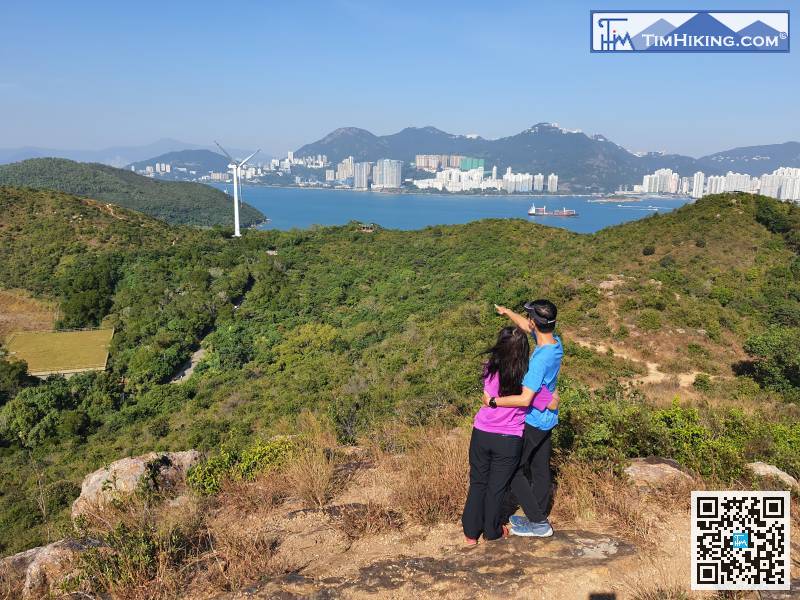
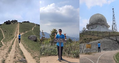
36︰Mount 137 has a Trigonometrical Station, 50︰There will be some branch trails along the way. The direction is to look at the mountainside line ahead,
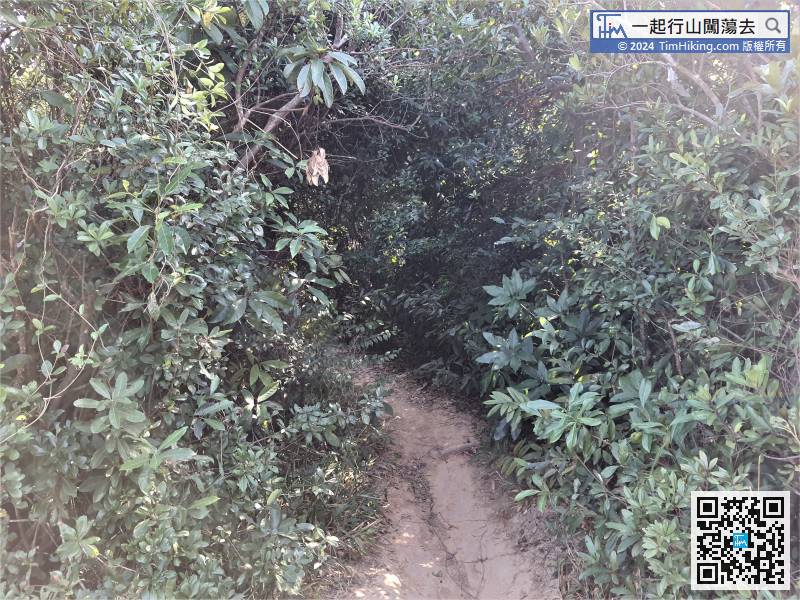
 65︰After leaving the dirt trail, turn right and will see another bifurcated road.
After leaving the dirt trail, turn right and will see another bifurcated road.
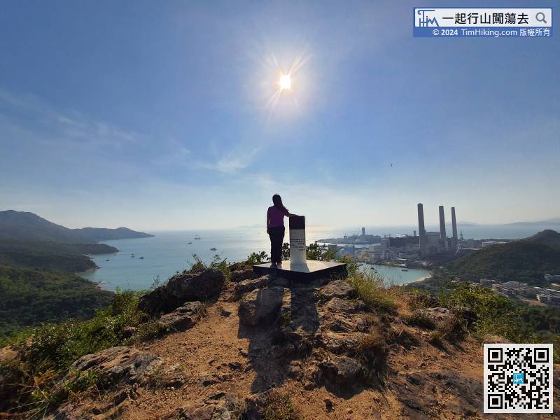
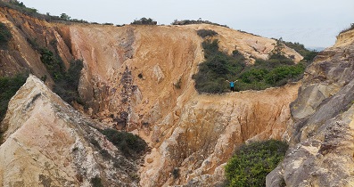
80︰and it takes more than 100 meters to arrive, but there is no view, so it is not recommended to go.
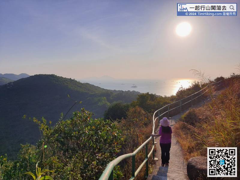
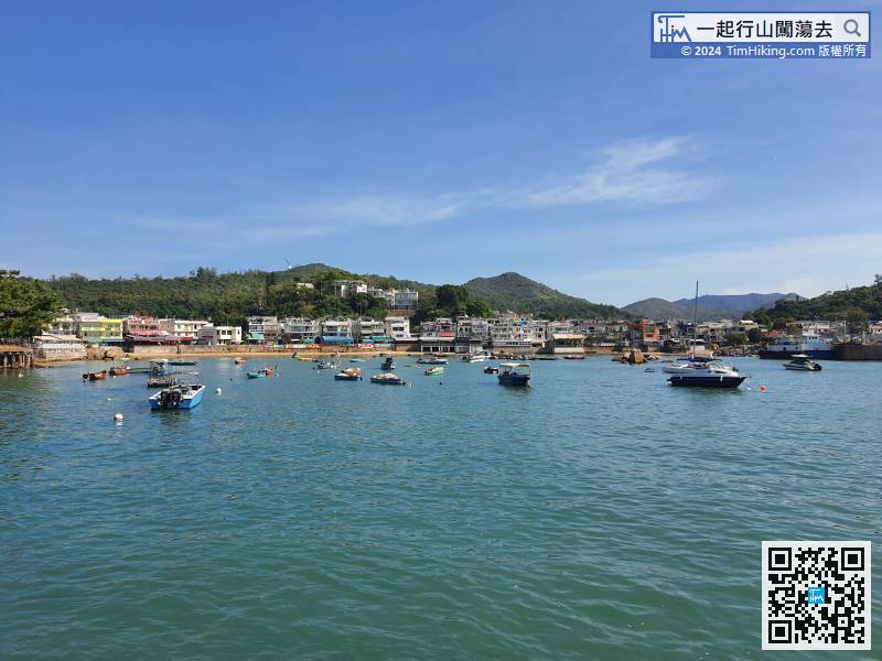
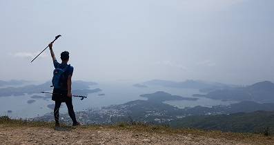
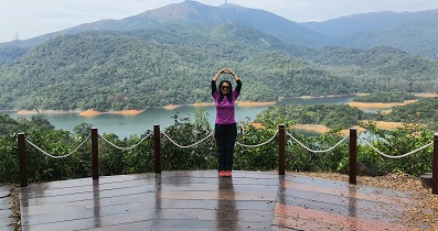
Usually it is sunset when walking here. The scenery is exceptionally beautiful,
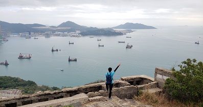
86︰will occur an oasis in the centre of the sea. The special oasis is Lo So Shing Sitting-out Area.


