


 Recommend YouTube


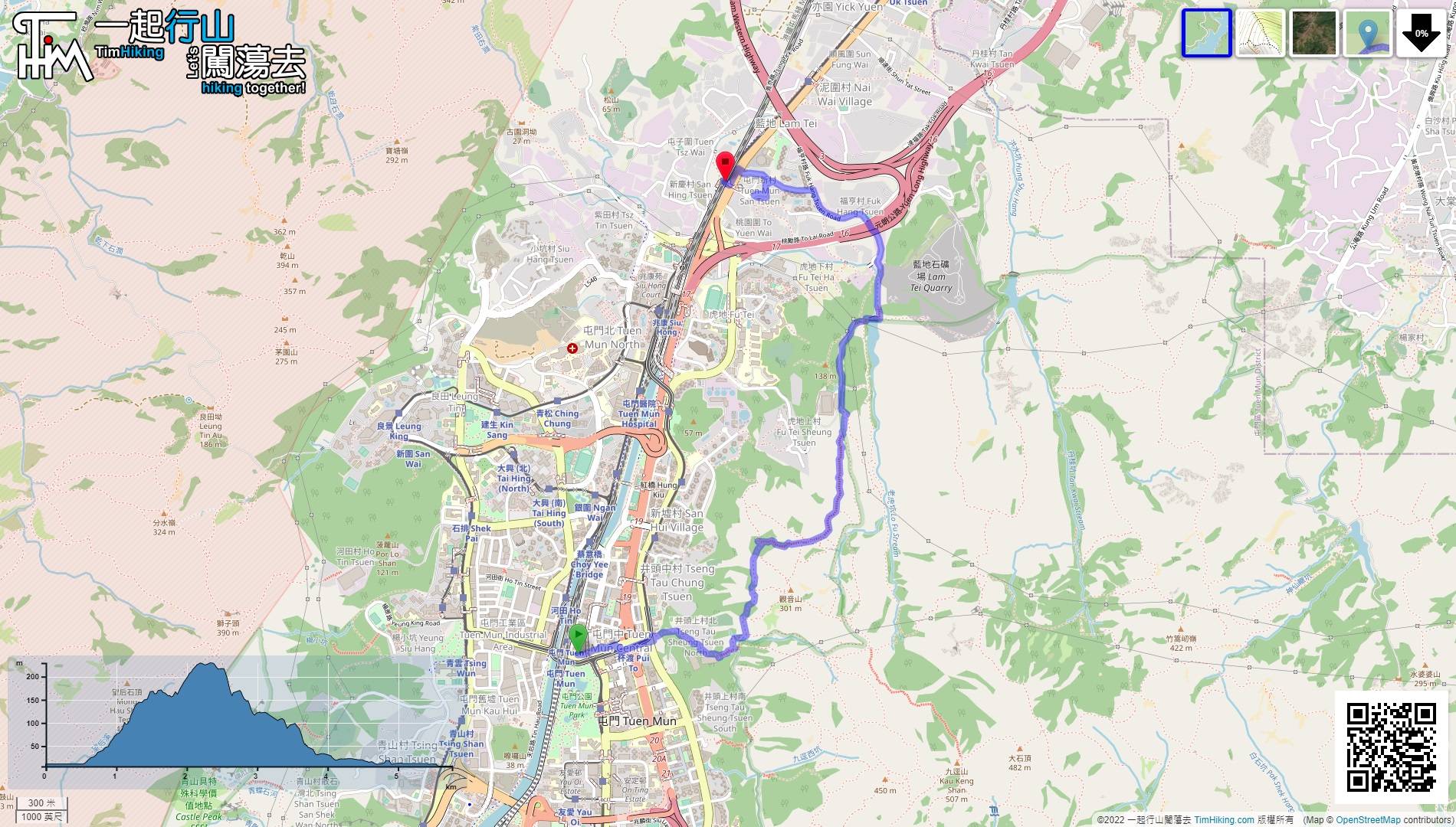
| View : |  | ||
| Difficulty : |  | ||
| Path : | |||
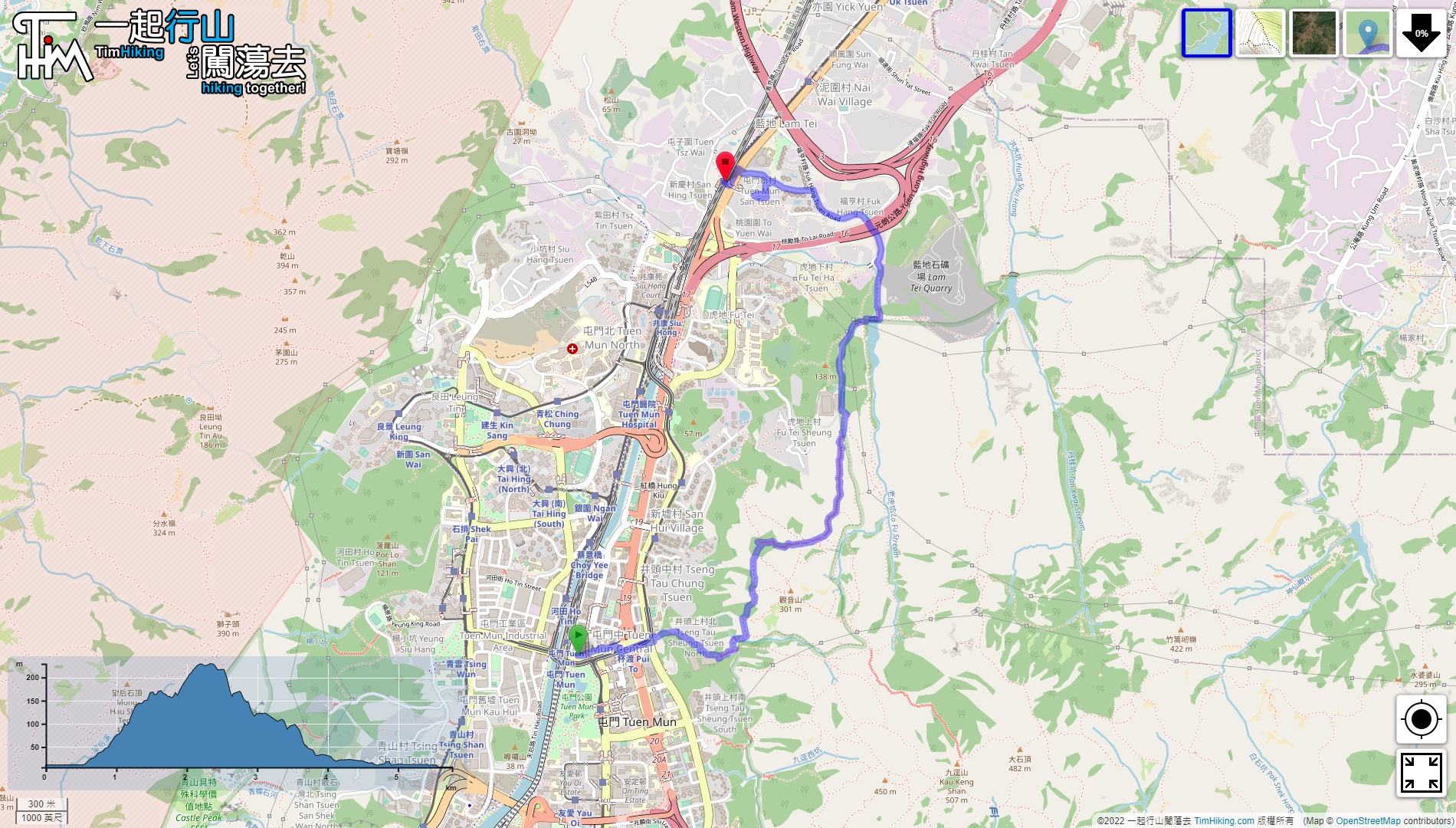
| Length : | 5.8km | ||
| Time : | 2hours | ||
 | |
| Ascent : 369m | Descent : 360m |
| Max : 229m | Min : 6m |
| (The accuracy of elevation is +/-30m) | |


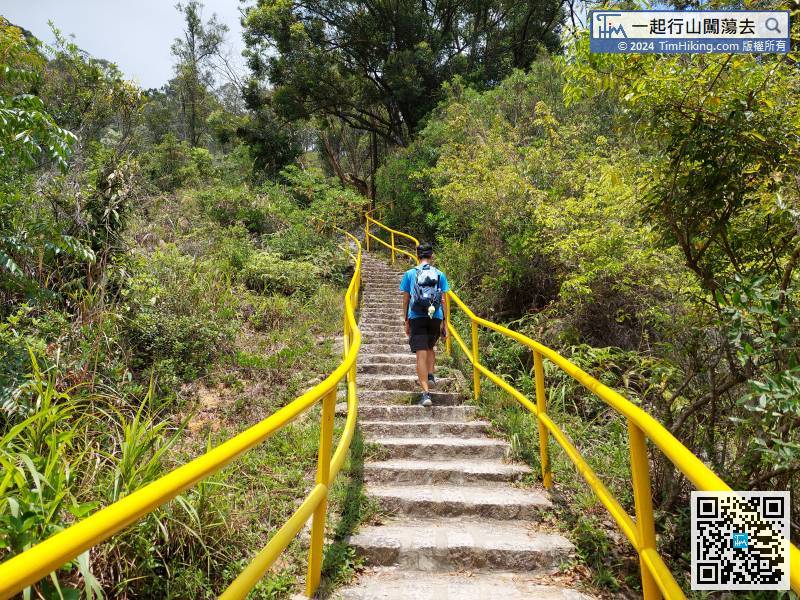
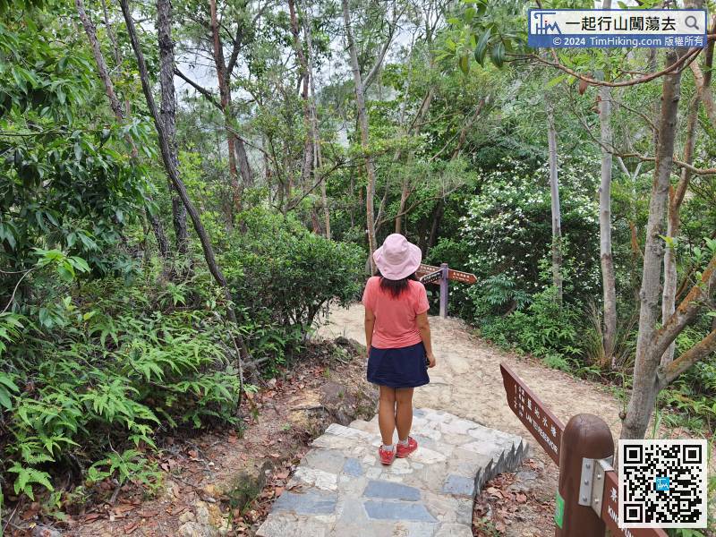
Tuen Mun Trail is very wide and the steps are very complete. It is a very good morning family trail.
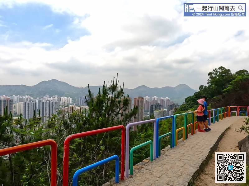
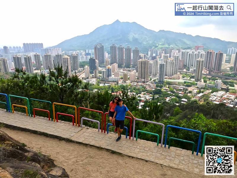
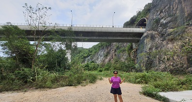
 28︰will come to the location of Rainbow Railing.
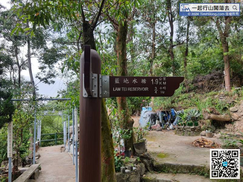
Turn right at this fork and go up the hill, follow the sign to Lam Tei Reservoir.
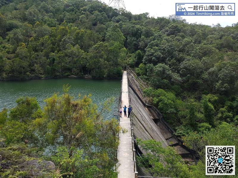
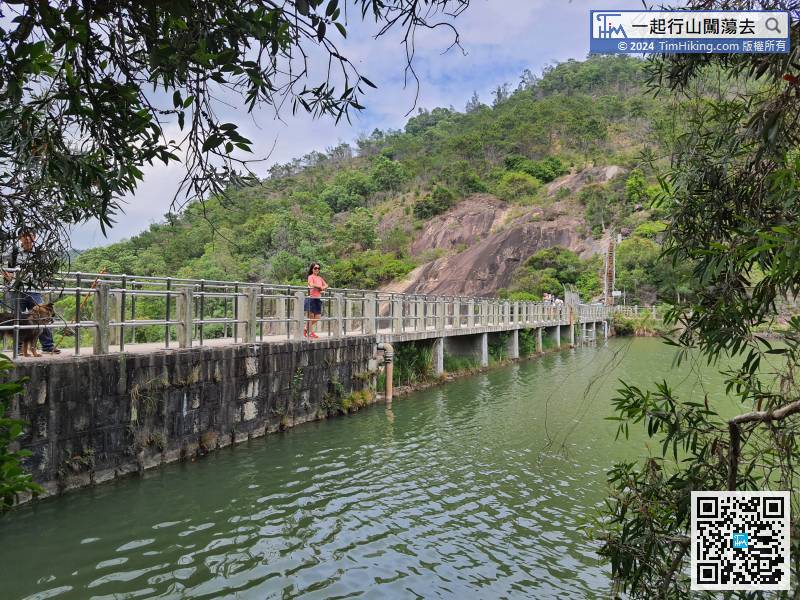
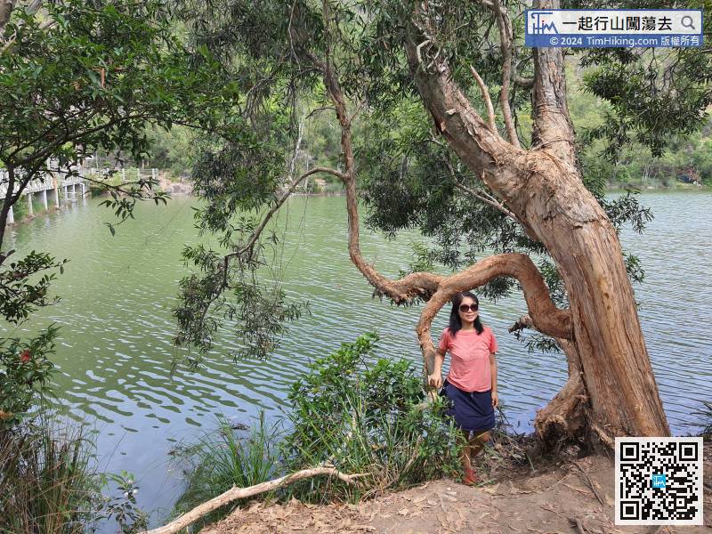
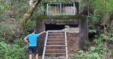
 53︰Lam Tei Reservoir is not very big,
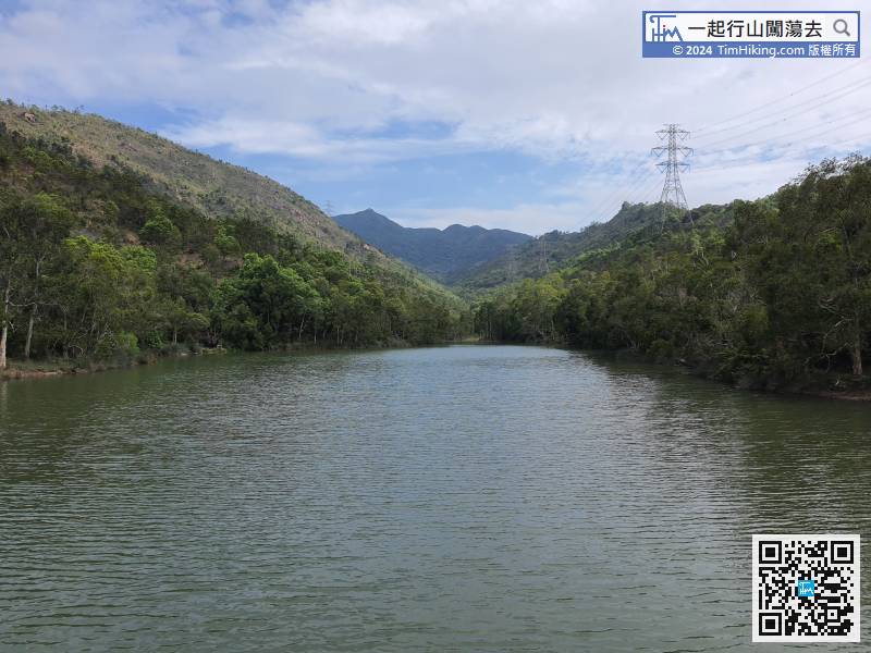
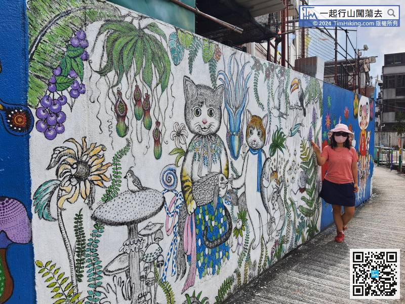
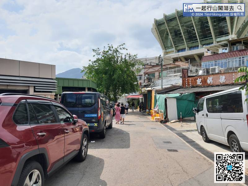
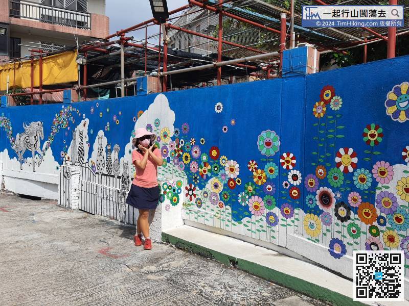
After enjoying the beautiful mural wall, go back to the intersection of the restaurant and continue forward.


