


 Recommend YouTube


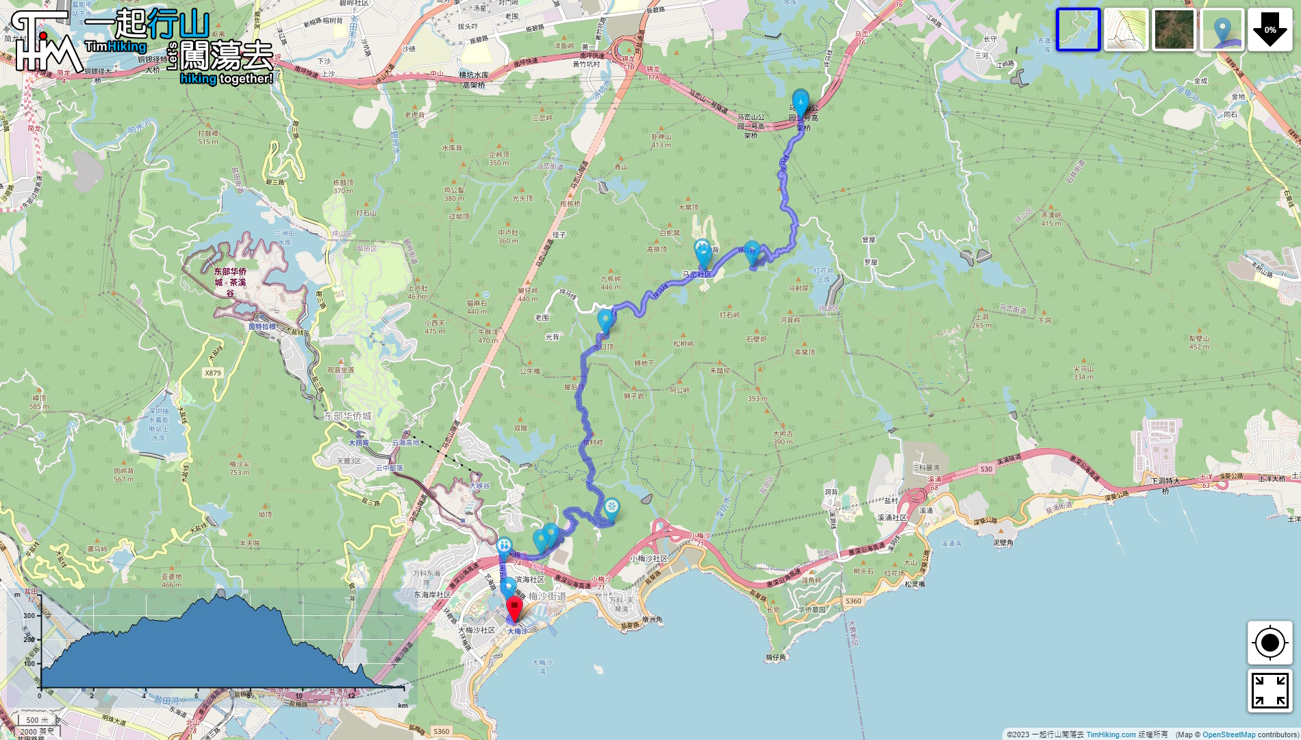

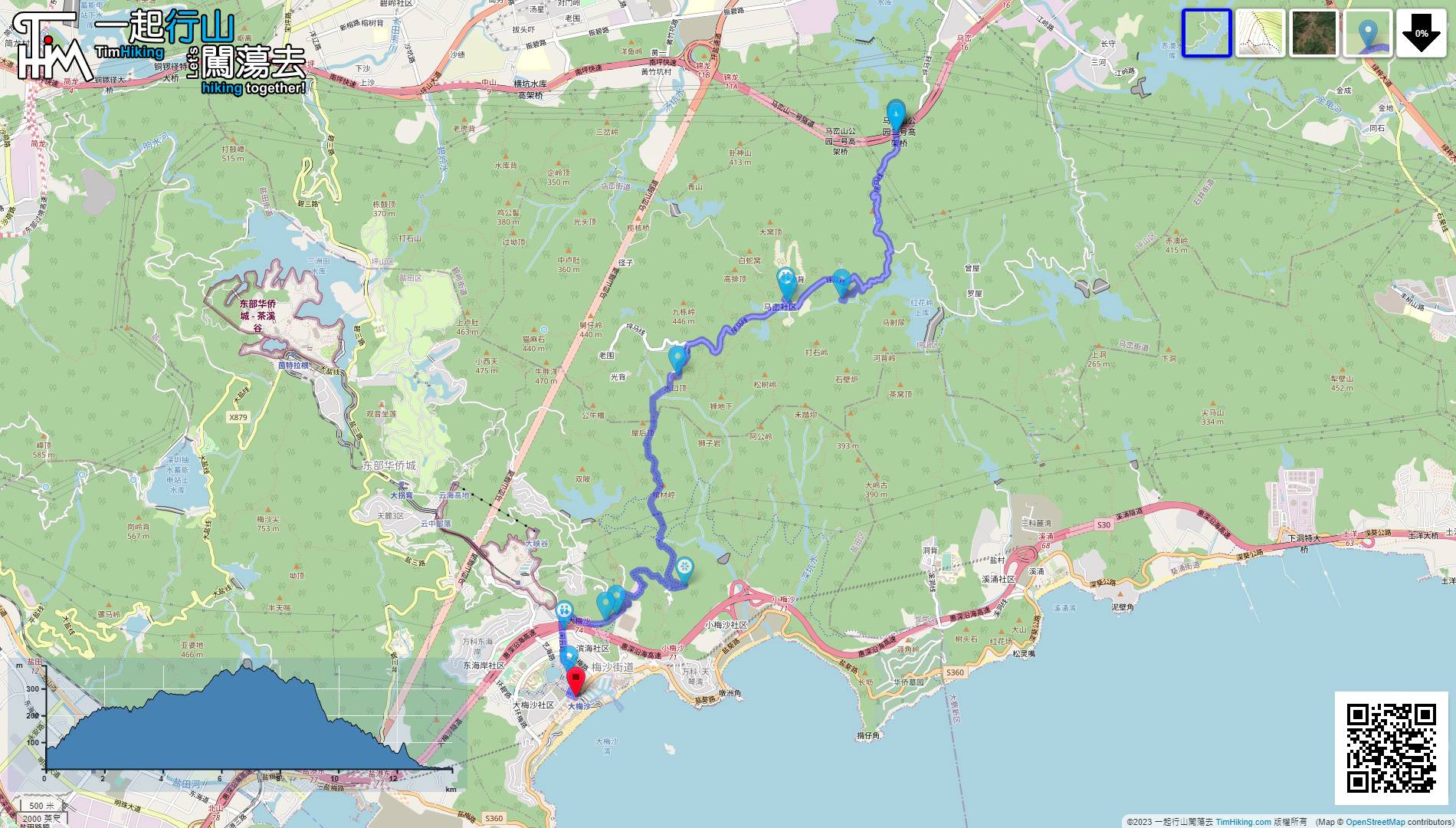
| View : |  | ||
| Difficulty : |  | ||
| Path : | |||
| Length : | 14km | ||
| Time : | 4½hours | ||
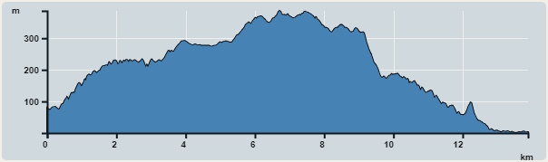 | |
| Ascent : 750m | Descent : 830m |
| Max : 387m | Min : 0m |
| (The accuracy of elevation is +/-30m) | |


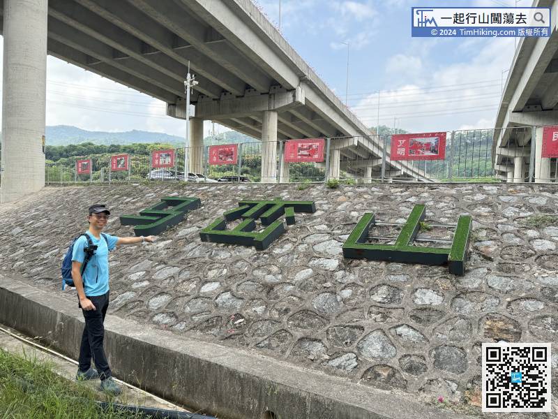
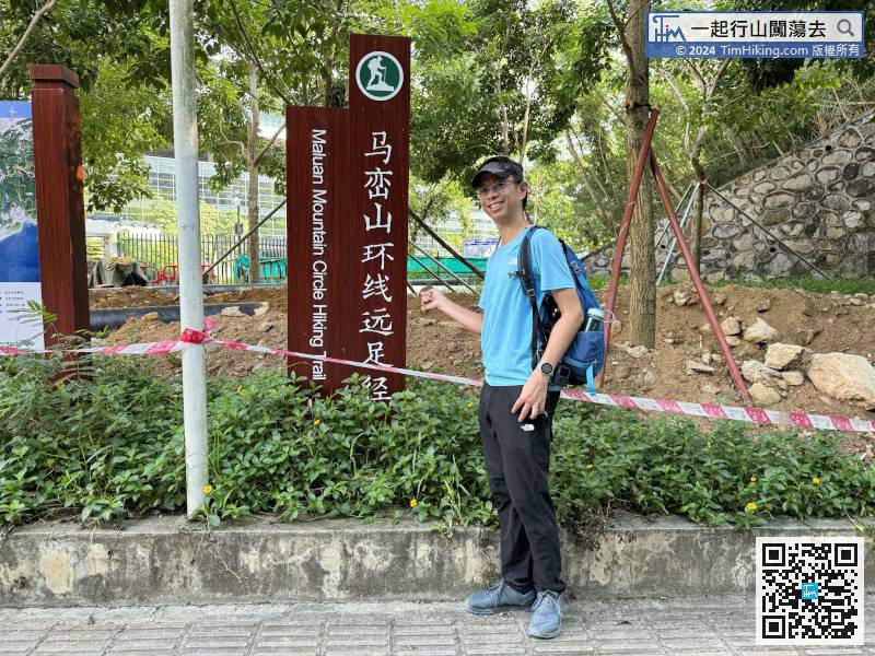
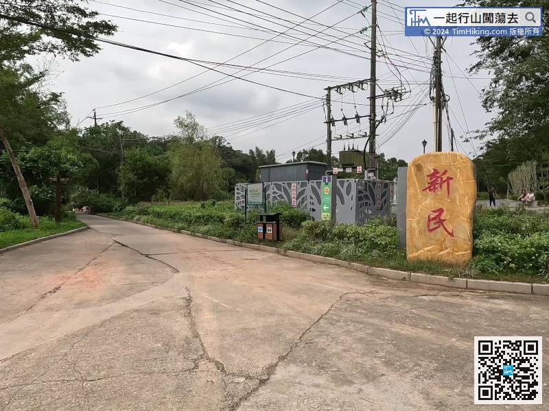
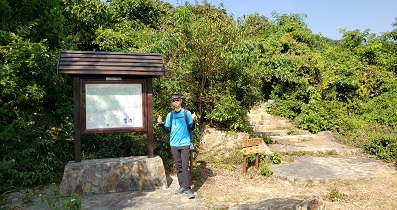
On the small slope to the right of the entrance, you can see the three characters Maluan Mountain.
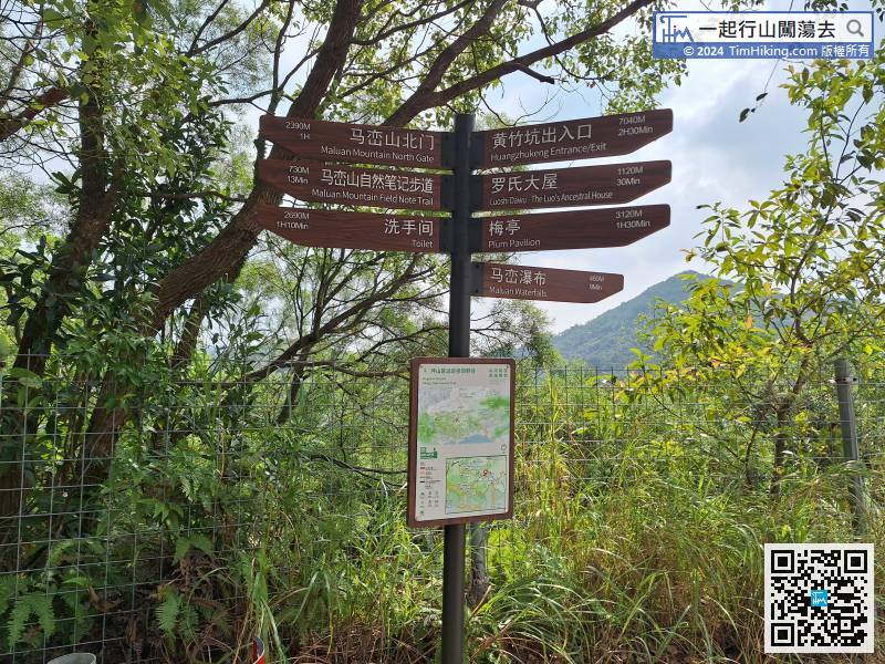
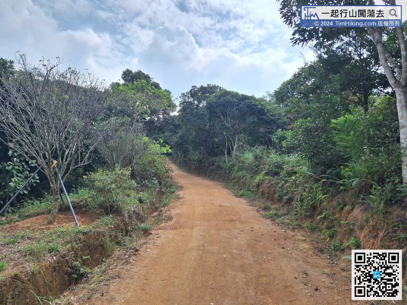
When you come to an obvious fork in the road, there is a dirt trail on one side and a road on the other.
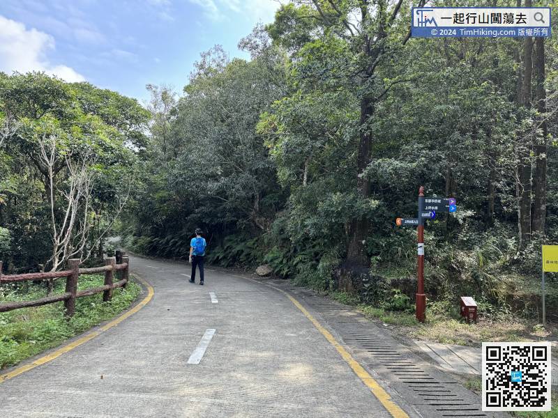
If you continue to cross Maluan Mountain, just follow the signs to Gengzi First Revolution and then to Plum Pavilion.
After going to the toilet and visiting, return to the fork and turn left facing the big stone monument.
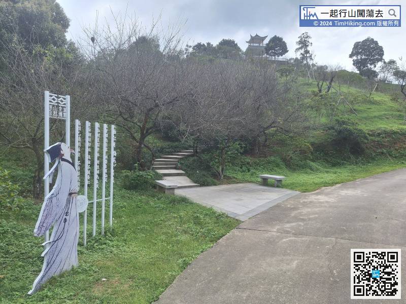
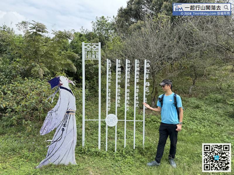
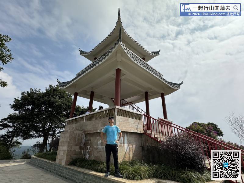
When we arrived at the entrance of Plum Pavilion,
The road sign just said that it takes 2 hours to reach Dameisha. The actual measurement is about 1.5 hours at normal speed. You can use it as a reference.
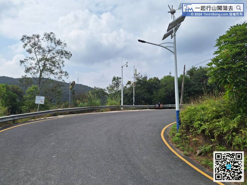
Continue to walk along the main road.
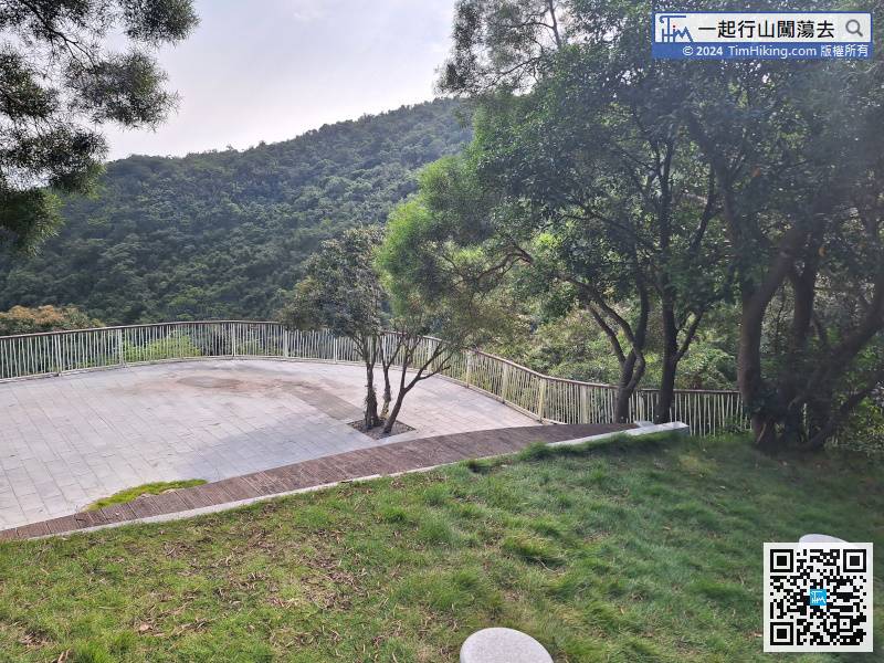
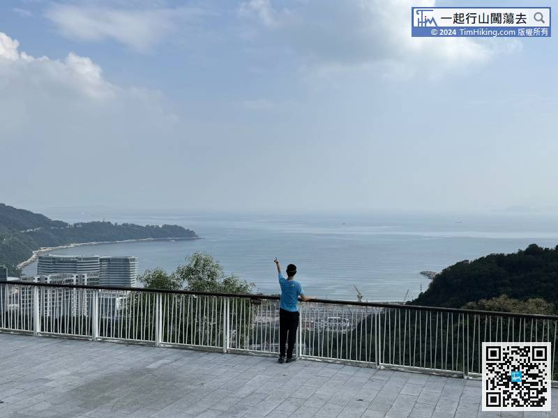
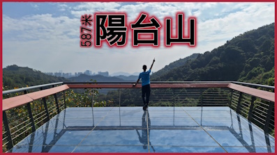
When you come to a Tai Chuen bend, you can see a large Viewing Point on the left.
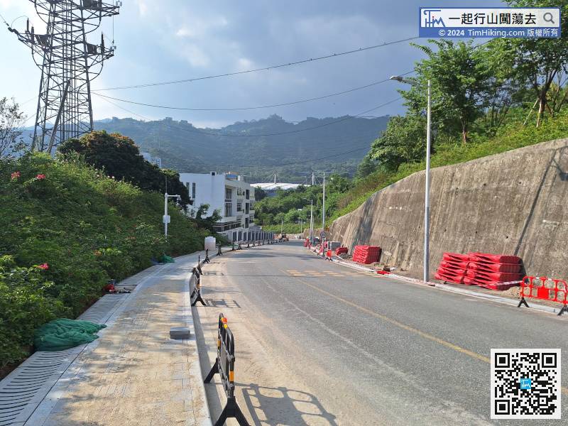
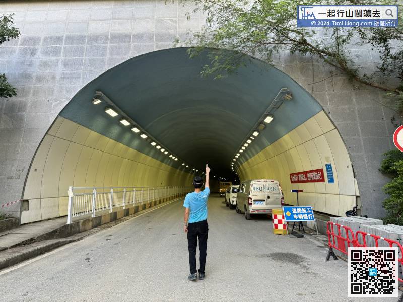
After exiting the Tunnel, there is only one straight road,


