


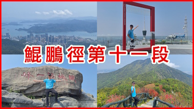
 Recommend YouTube


| View : |  | ||
| Difficulty : |  | ||
| Path : | |||
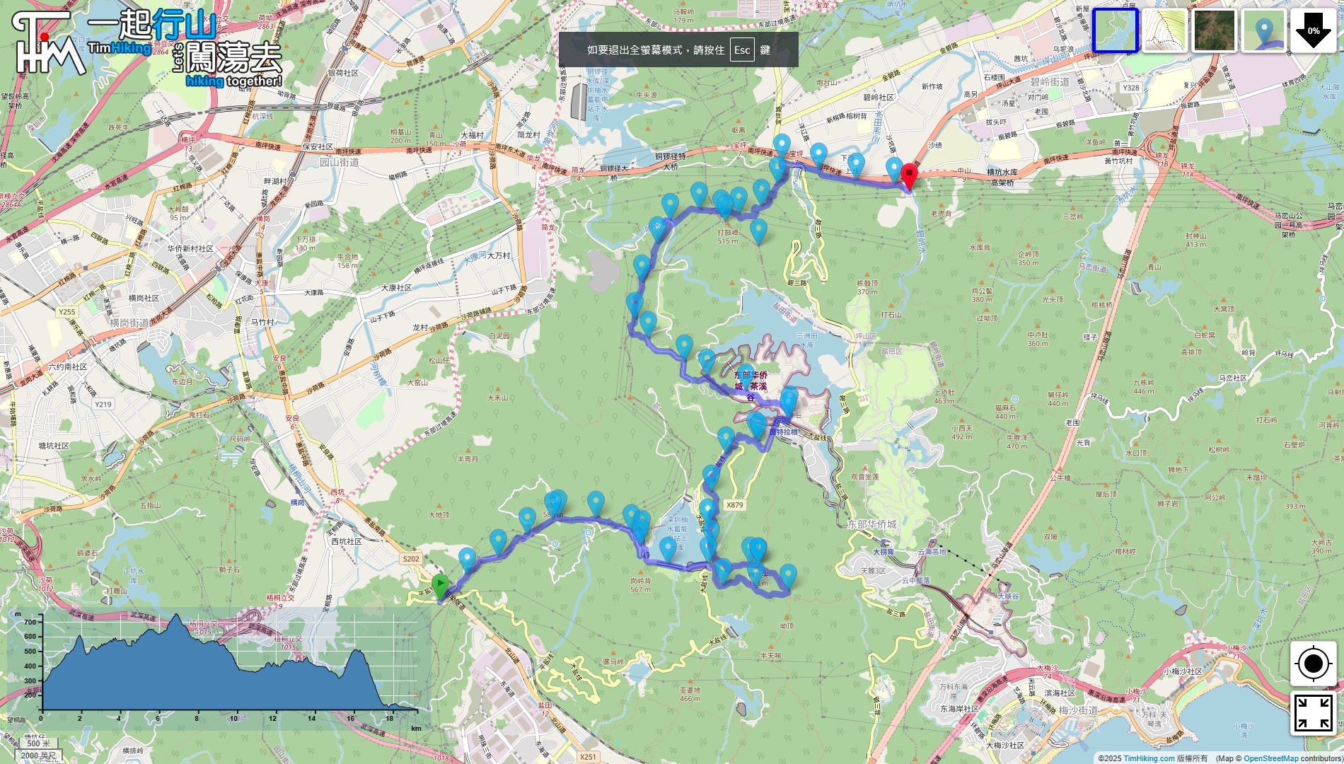
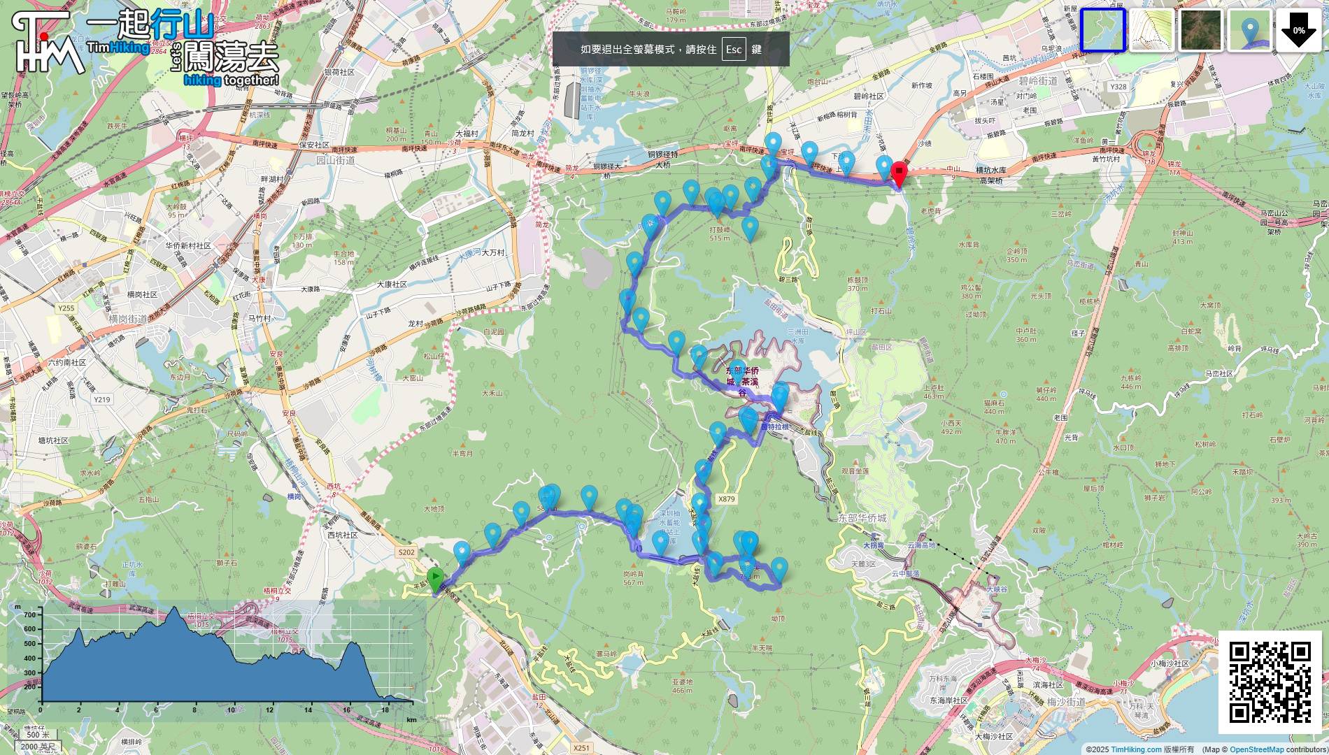
| Length : | 19.69km | ||
| Time : | 12½hours | ||
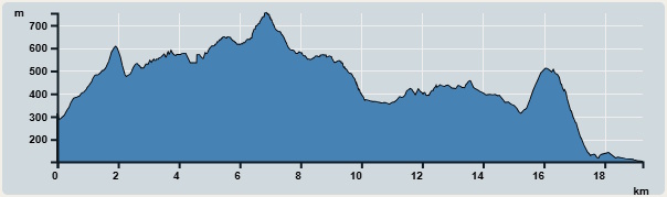 | |
| Ascent : 993m | Descent : 1,203m |
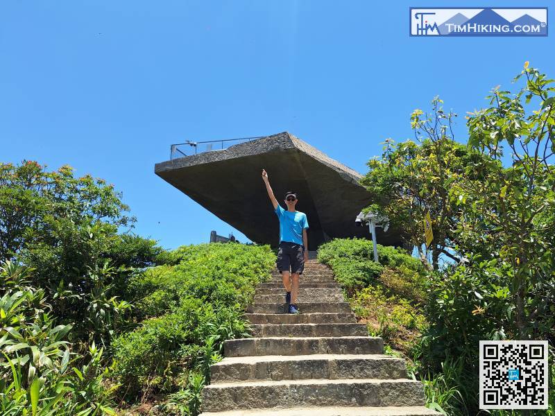
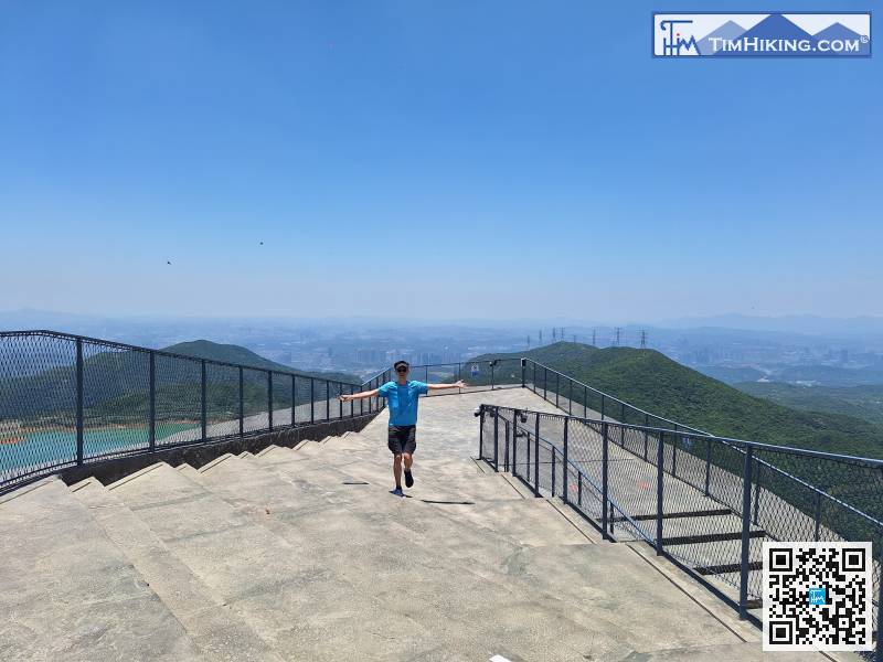
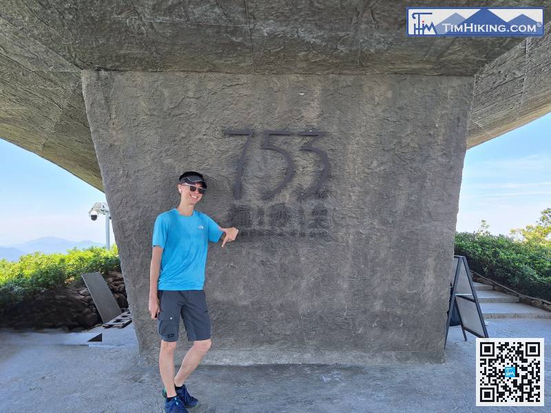
| Max : 753m | Min : 102m |
| (The accuracy of elevation is +/-30m) | |

 Self-service vending machines
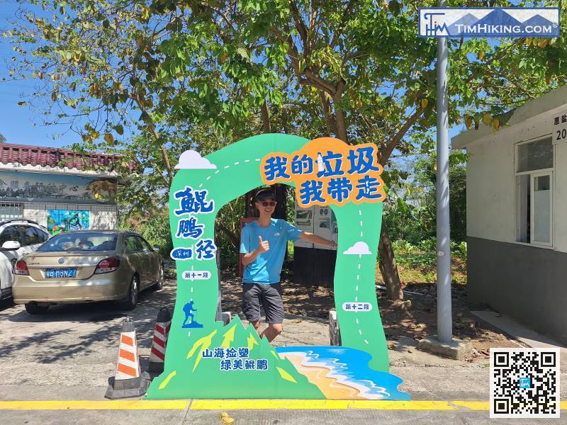
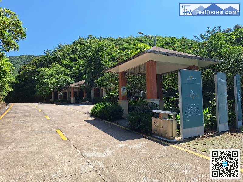
The only way to get to the starting point of Kunpeng Trail (Section 12) is to take a taxi to 'Tansian Temple(譚仙公廟)'. Otherwise, you can only walk up the mountain via Hengyan Road from the MeiShanJian Yantian Checkpoint Hiking Trail Entrance, which is about 3 kilometers away.
Walk to the large pavilion on the left
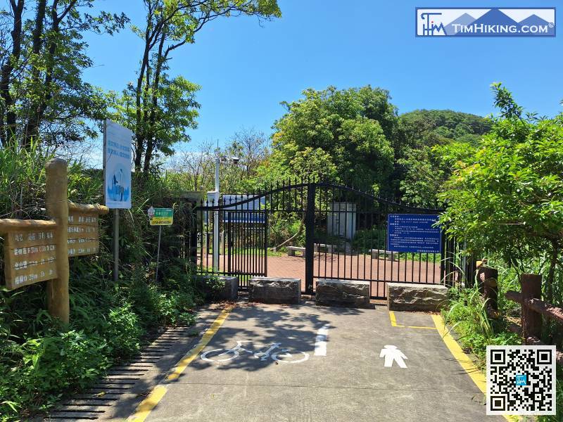
The last section is to leave the big iron gate
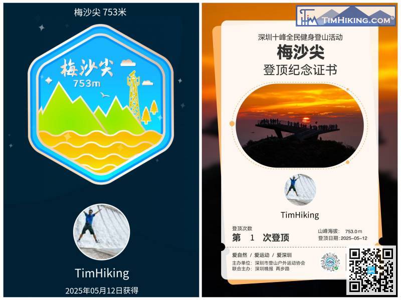
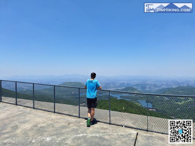
When you arrive at MeiShanJian, open WeChat 'Shenzhen Ten Peaks' to check in and receive a commemorative certificate.
Continue along the trail and you will slightly leave Xiaosanzhou Cherry Blossom Forest.
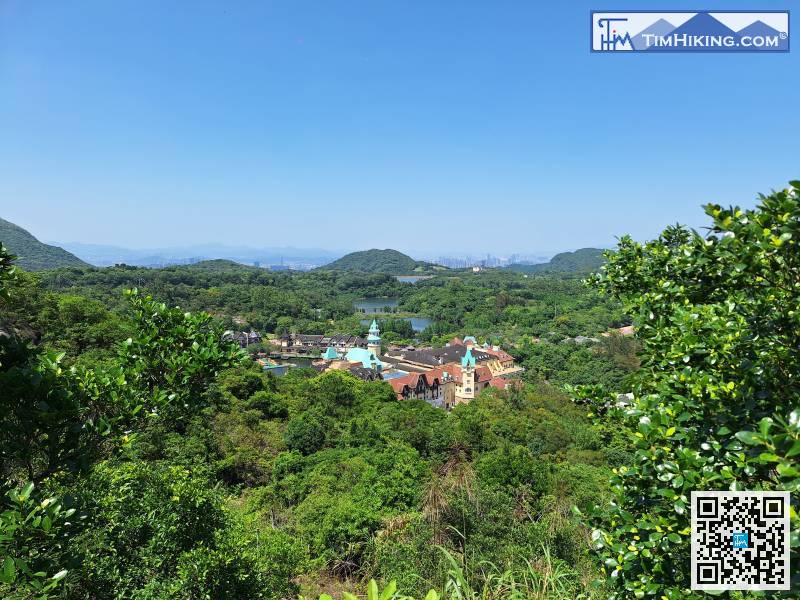
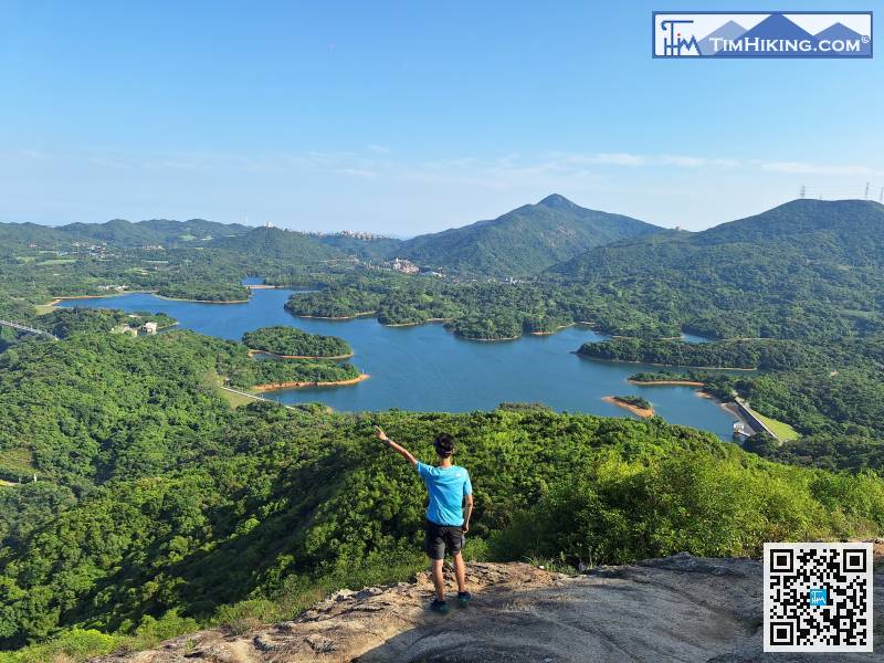
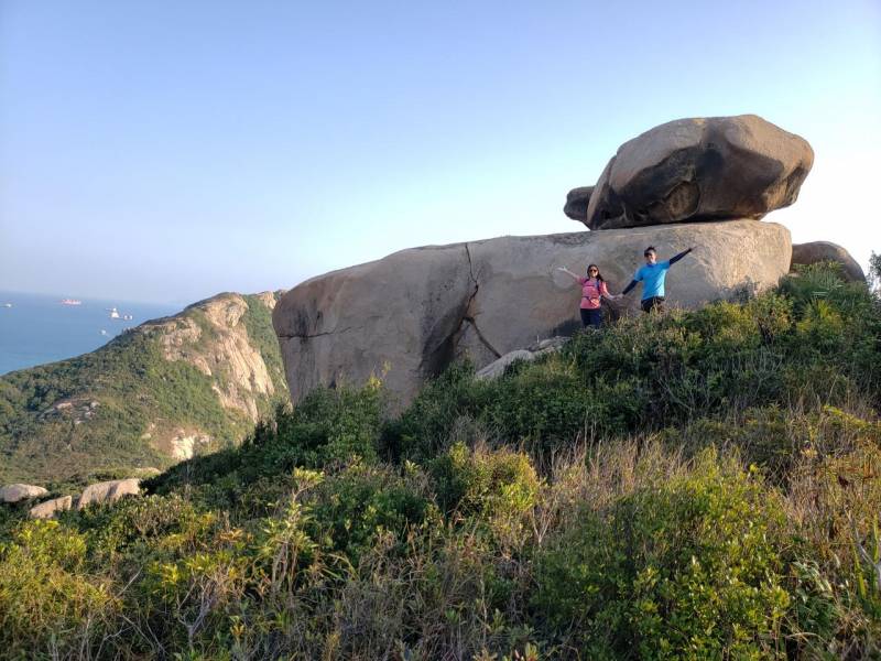
Below is Tea Stream Valley. Kunpeng Trail will pass through the park.
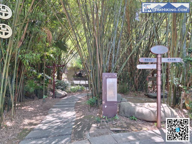
Walk to the bamboo forest on the left,
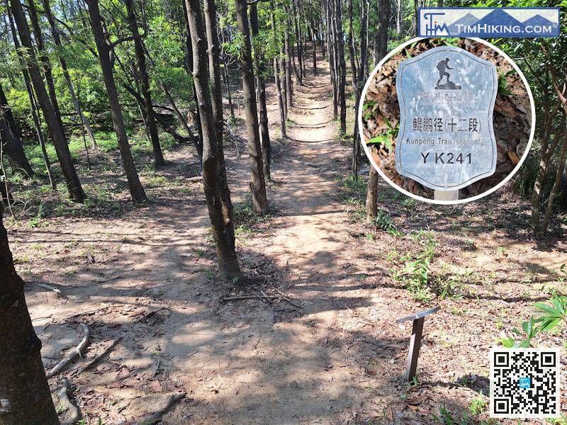
After that, you will see distance post YK241,
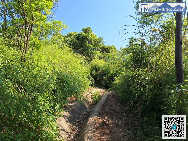
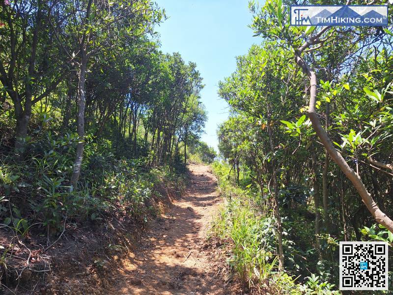
The path up to Daguzhang is clear,
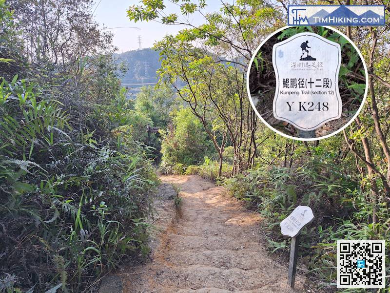
Arrived at distance post YK248,


