


 Recommend YouTube

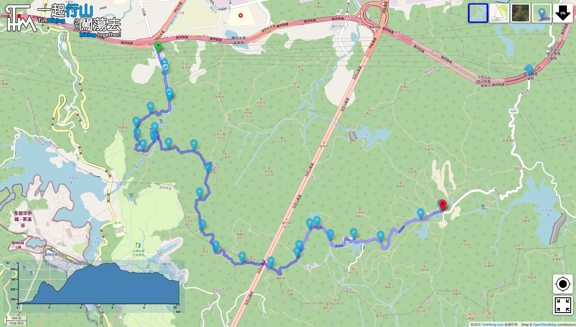


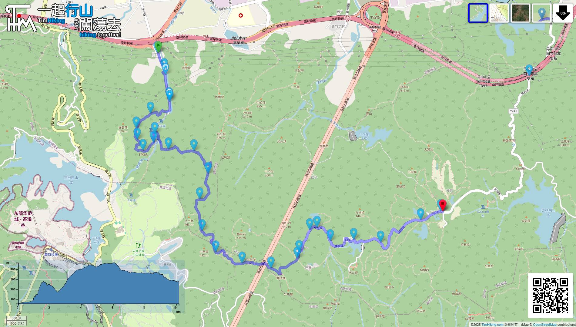
| View : |  | ||
| Difficulty : |  | ||
| Path : | |||
| Length : | 10km | ||
| Time : | 5½hours | ||
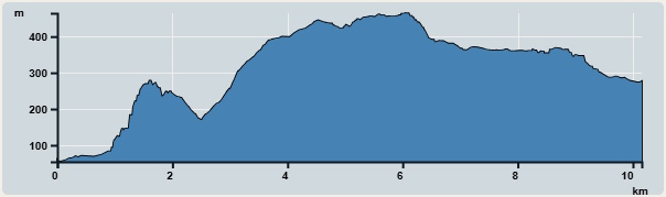 | |
| Ascent : 520m | Descent : 410m |
| Max : 464m | Min : 54m |
| (The accuracy of elevation is +/-30m) | |

 Self-service vending machines
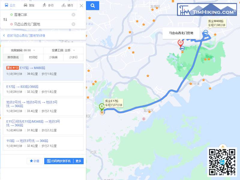
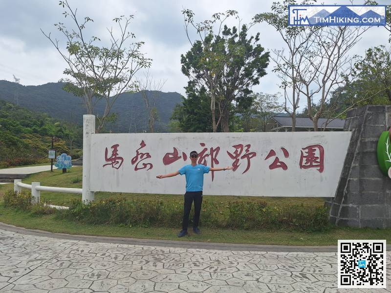
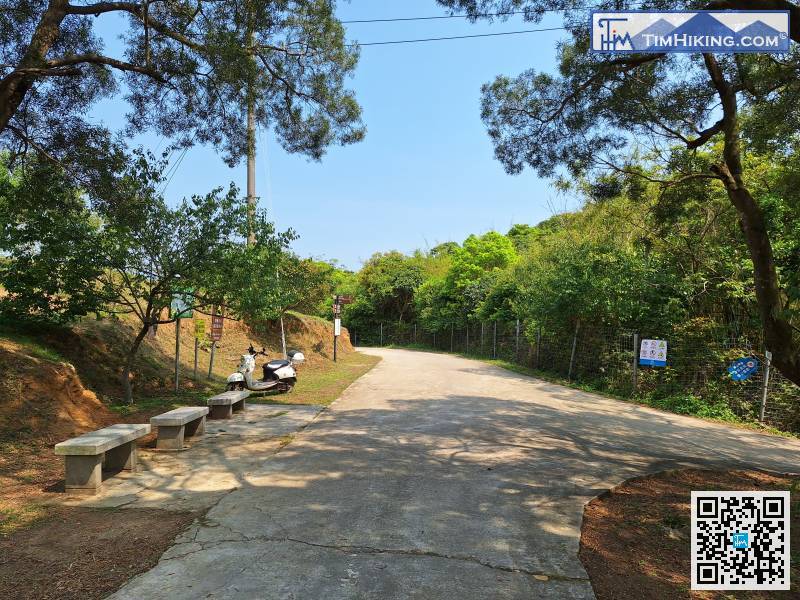
The starting point has convenient transportation and can be reached by bus.
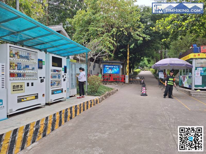
Beside the checkpoint, there are also several self-service vending machines.
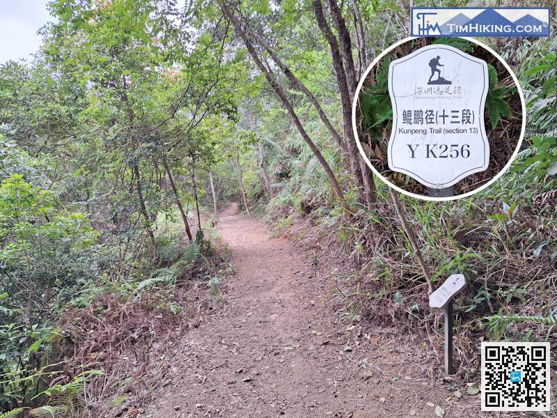
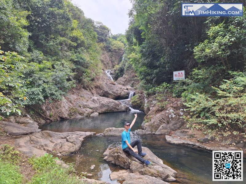
After Birdwood's Mucuna Forest, you will see distance post YK256.
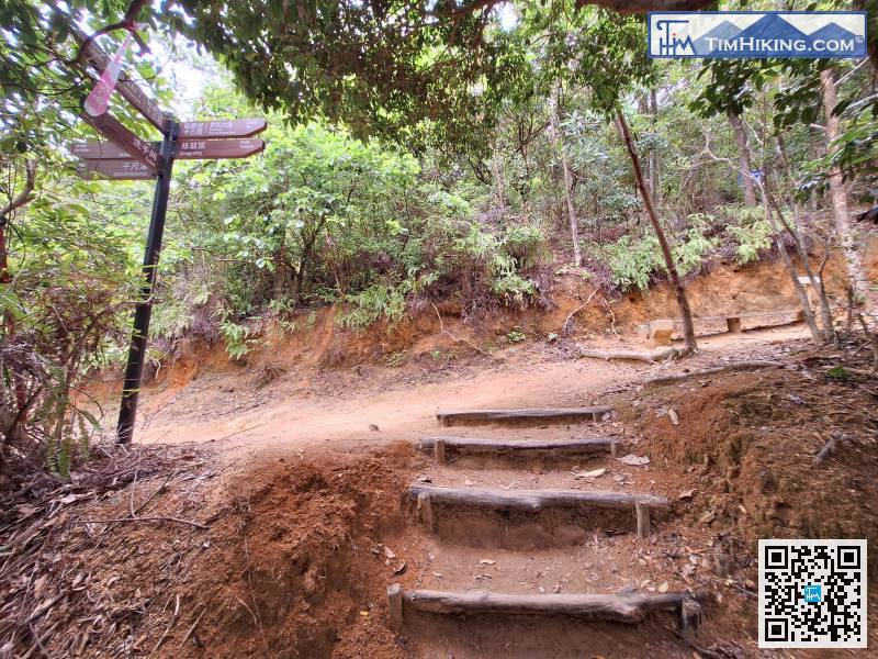
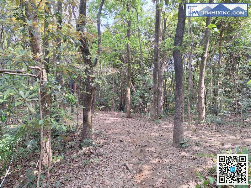
After a short break at the pavilion, we continued up the mountain. First, there was a stone trail,
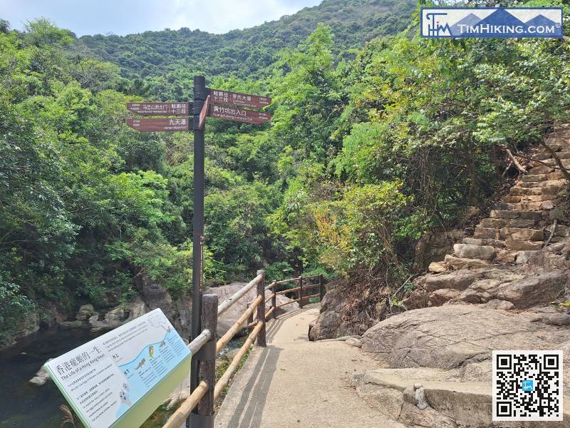
Very quickly, we arrived at another important fork in the road.
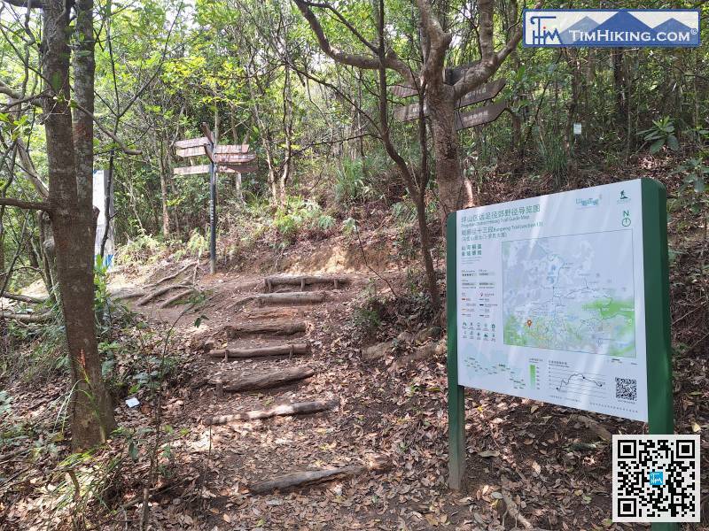
After entering the trail, keep to the left
At the next fork in the road, just go straight.
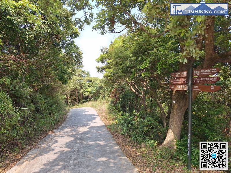
The new road signs are so dense that you can see them even if there are no forks.


