


 Recommend YouTube


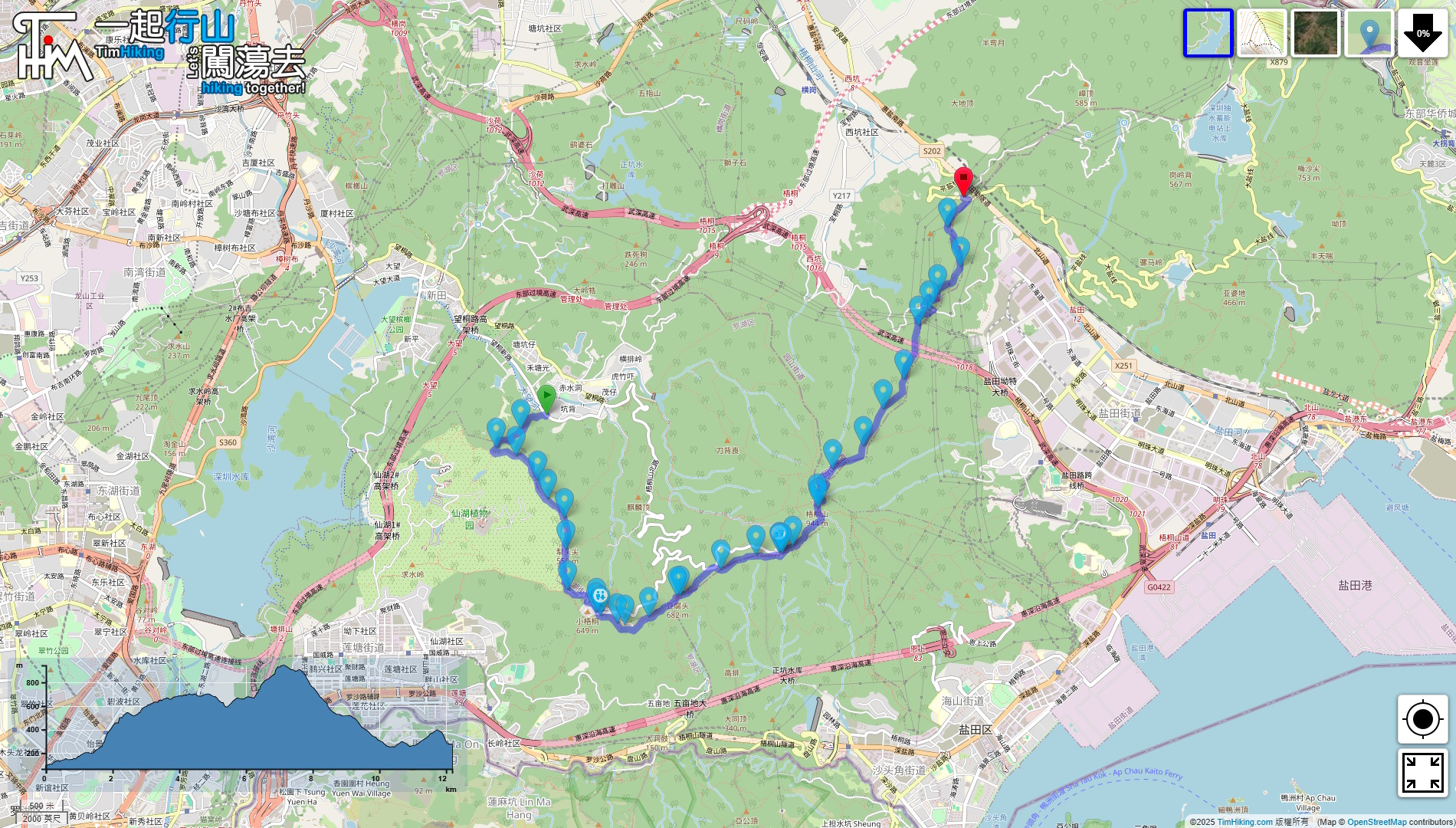


| View : |  | ||
| Difficulty : |  | ||
| Path : | |||
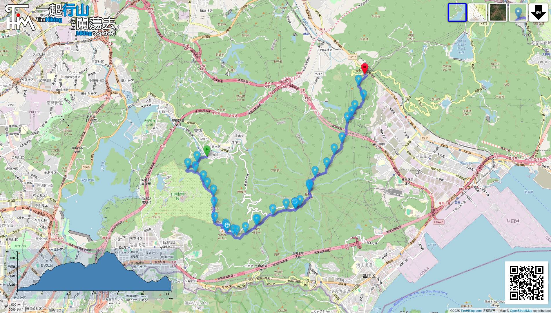
| Length : | 13km | ||
| Time : | 7hours | ||
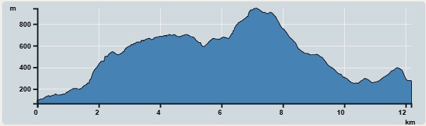 | |
| Ascent : 1,153m | Descent : 944m |
| Max : 944m | Min : 66m |
| (The accuracy of elevation is +/-30m) | |

 Self-service vending machines
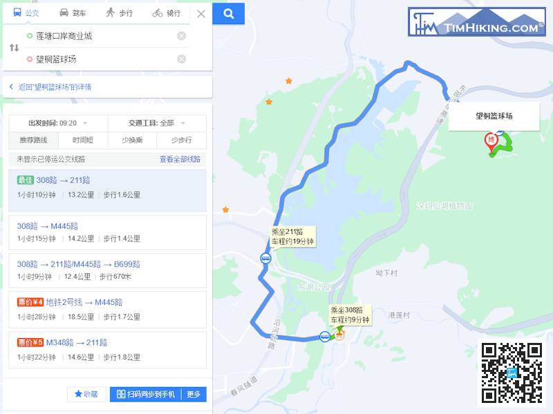
The starting point is Wangtong Xin Road Hiking Trail Entrance. You can take the bus there, which takes about an hour. You need to transfer. You can check Baidu Maps for details.
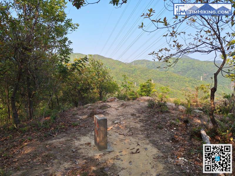
When you reach the col, you will see a real slope,
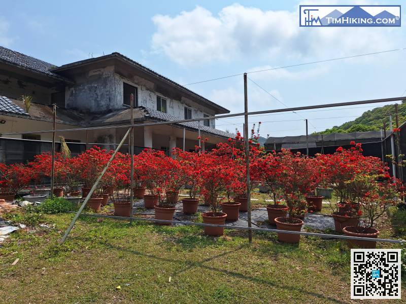
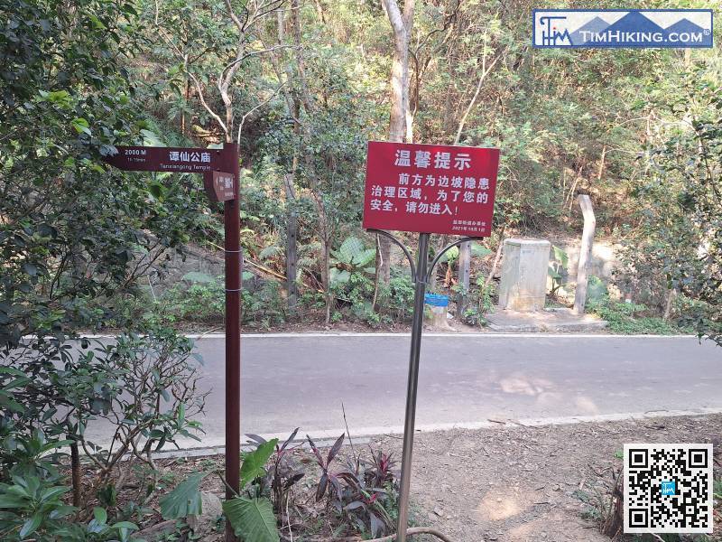
This is the old tourist service center,
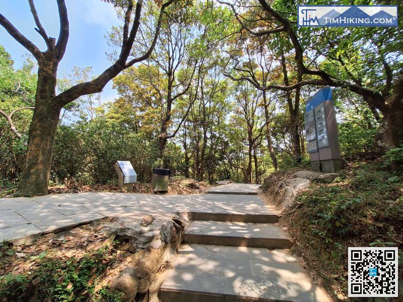
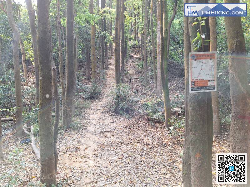
Pay attention to the next fork in the road.
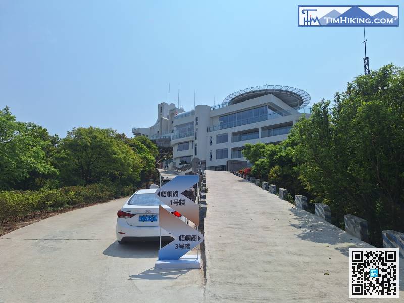
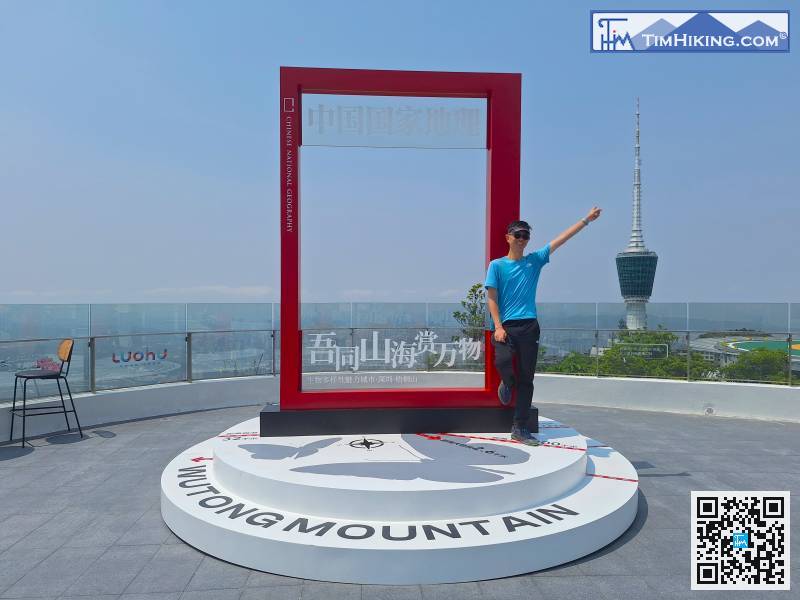
After the visit, return to Wutong Pavilion Building 1,
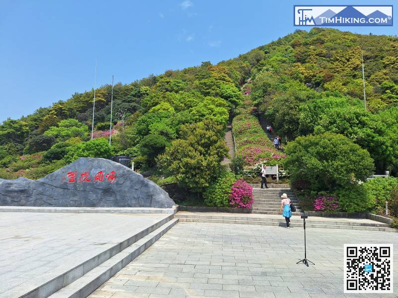
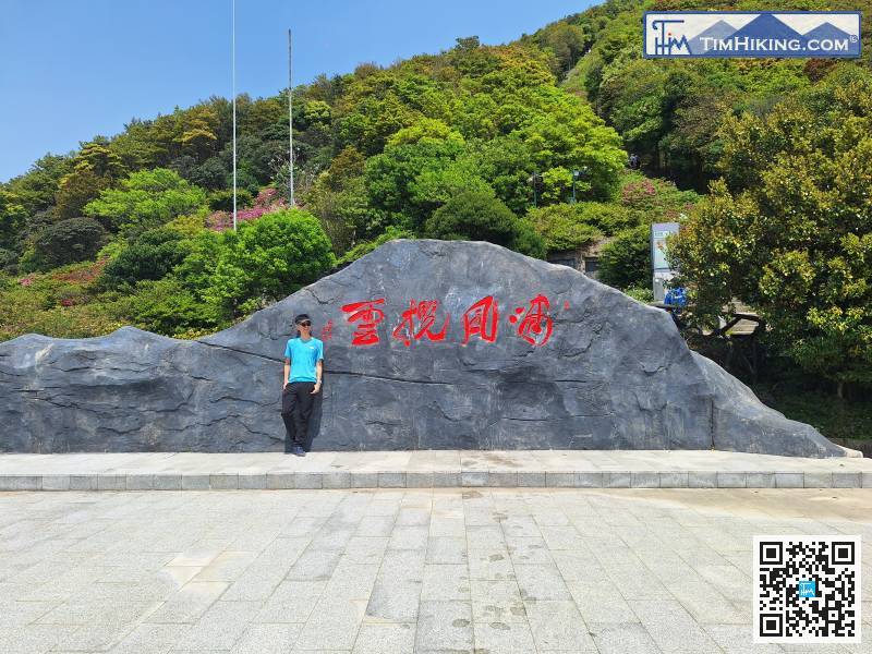
Finally arrived at the Hero Road Plaza.
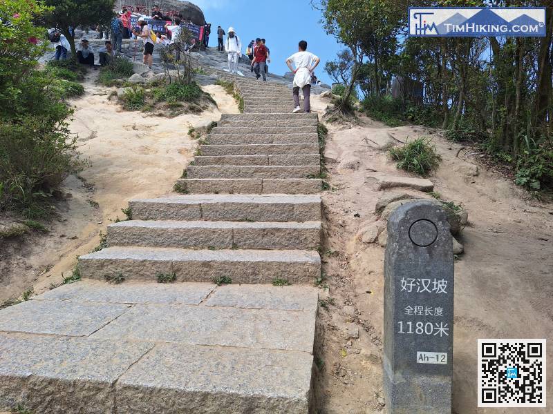
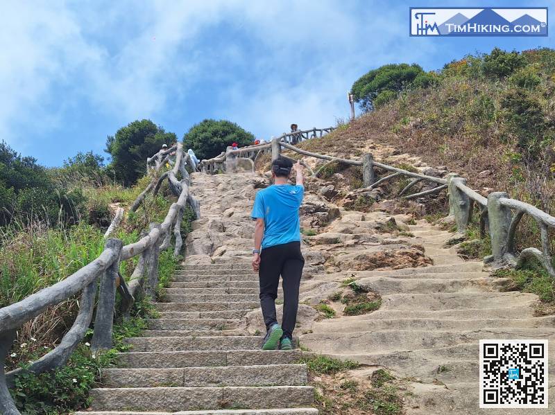
After much difficulty, we arrived at the end of Hero Road,
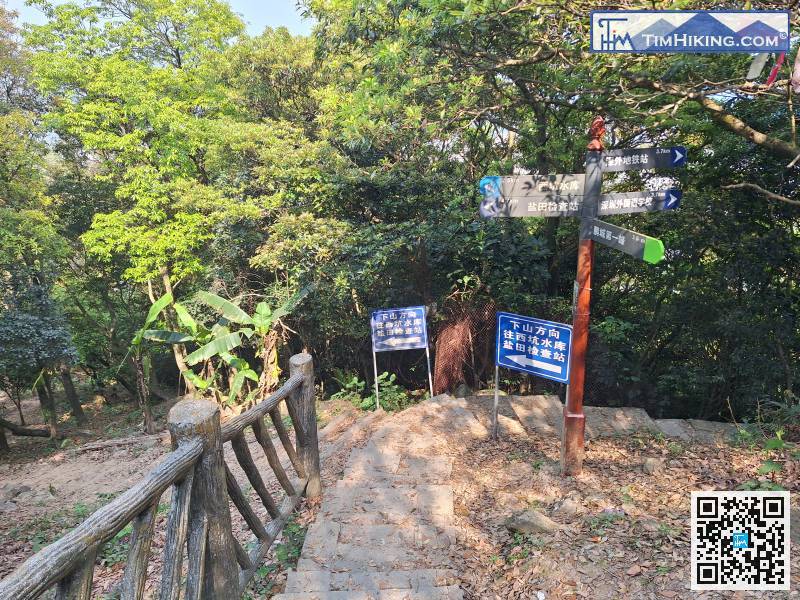
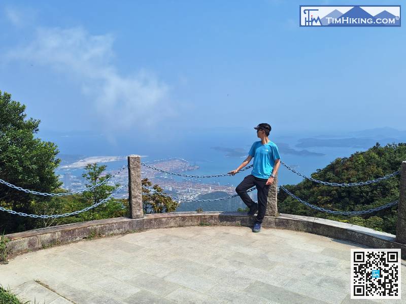
Finally, we arrived a fork in the road with a sign.
The place name here is Xiaoao.


