


 Recommend YouTube


| View : |  | ||
| Difficulty : |  | ||
| Path : | |||
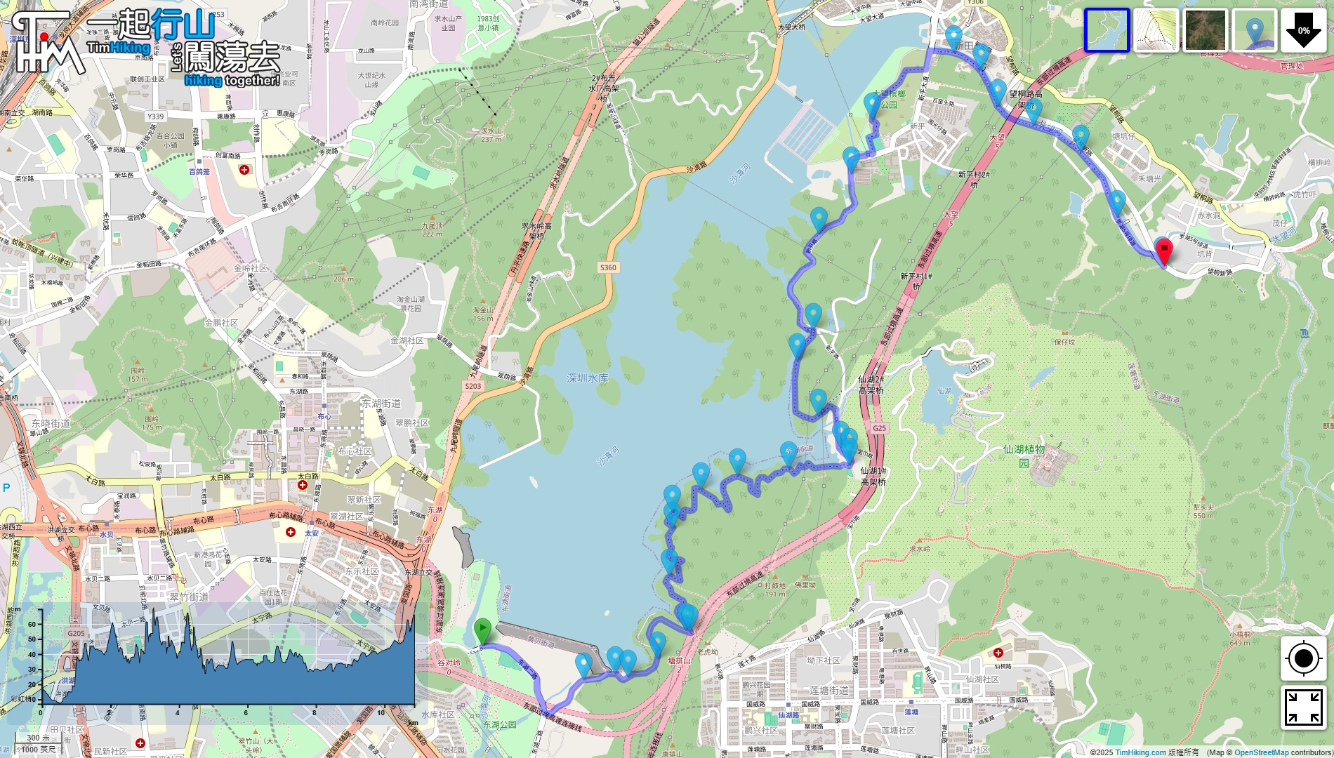
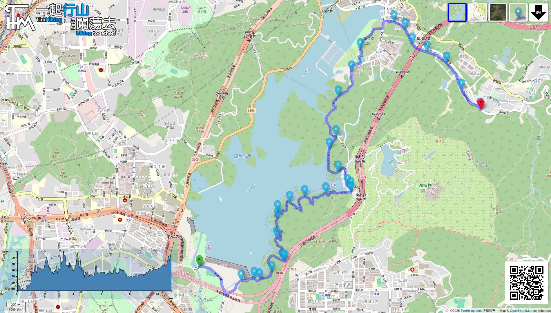
| Length : | 11km | ||
| Time : | 3hours | ||
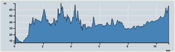 | |
| Ascent : 119m | Descent : 84m |
| Max : 70m | Min : 7m |
| (The accuracy of elevation is +/-30m) | |

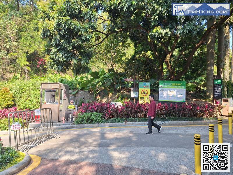
 Self-service vending machines
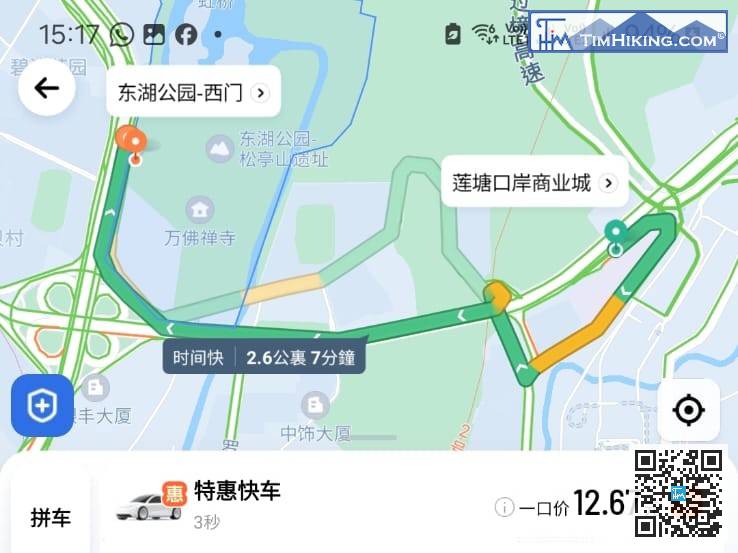
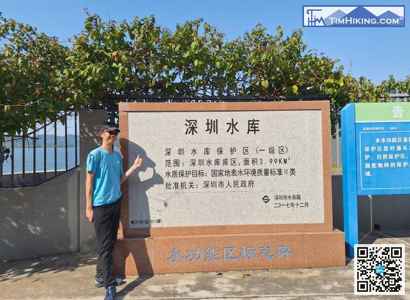
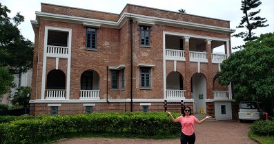
To get to the starting point, you can take a taxi to the west gate of Donghu Park(東湖公園西門),
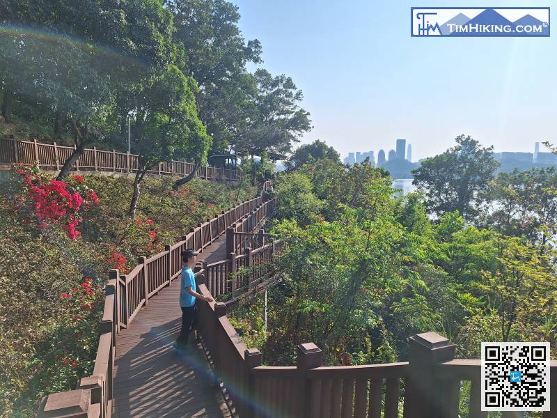
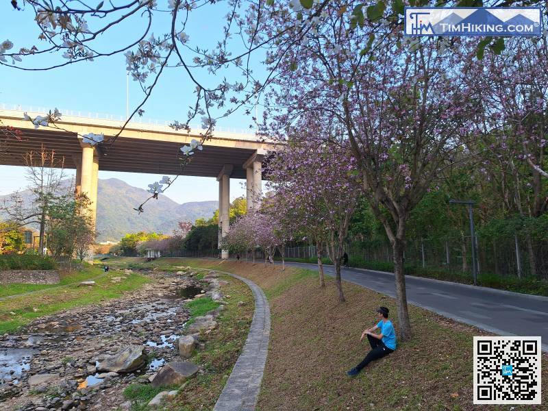
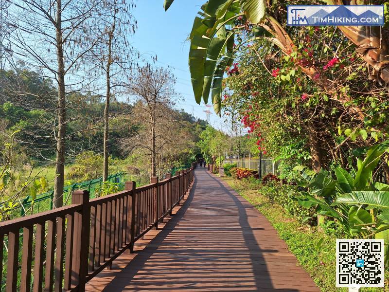
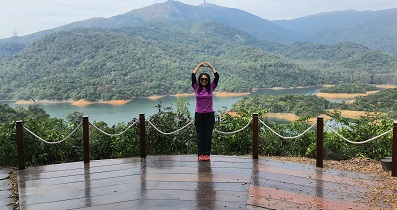
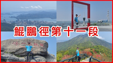
The whole journey is 11 kilometers. We set off as soon as we were ready.
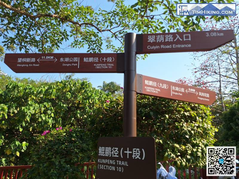
In the blink of an eye, we arrived at an important intersection,
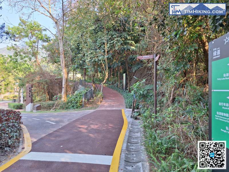
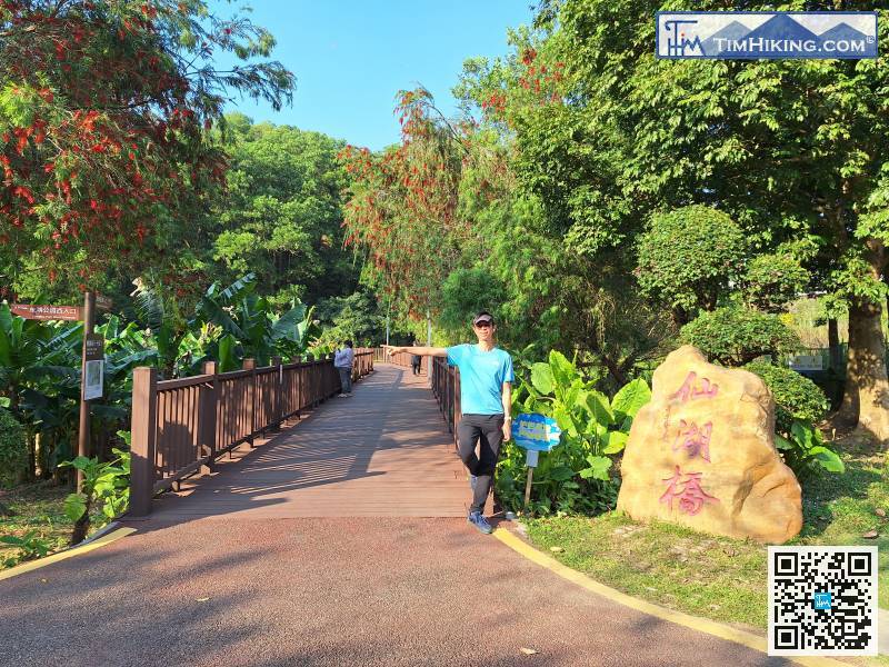
Note that you need to turn left at the next obvious fork in the road,

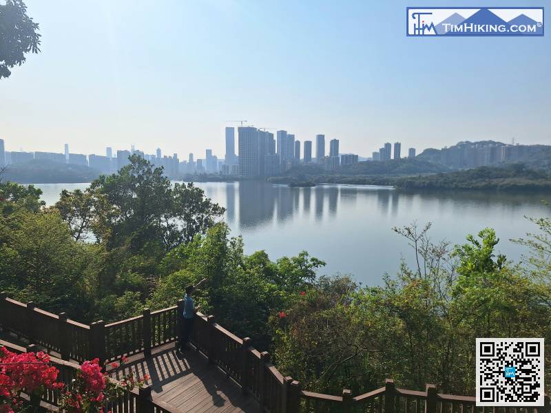
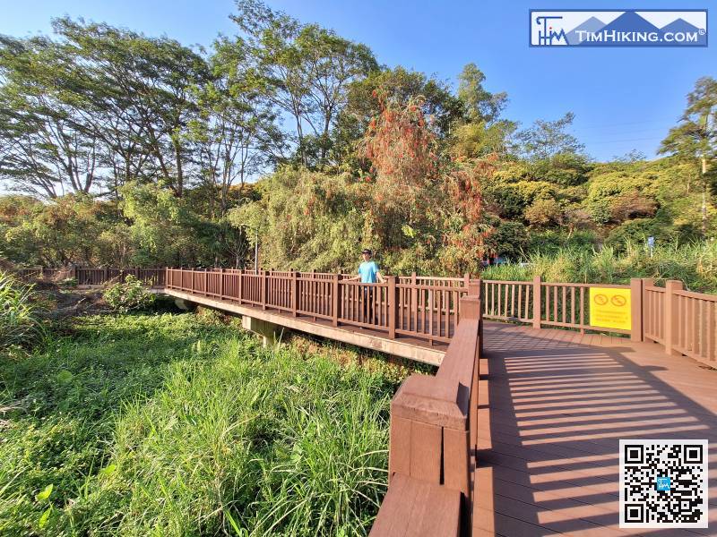
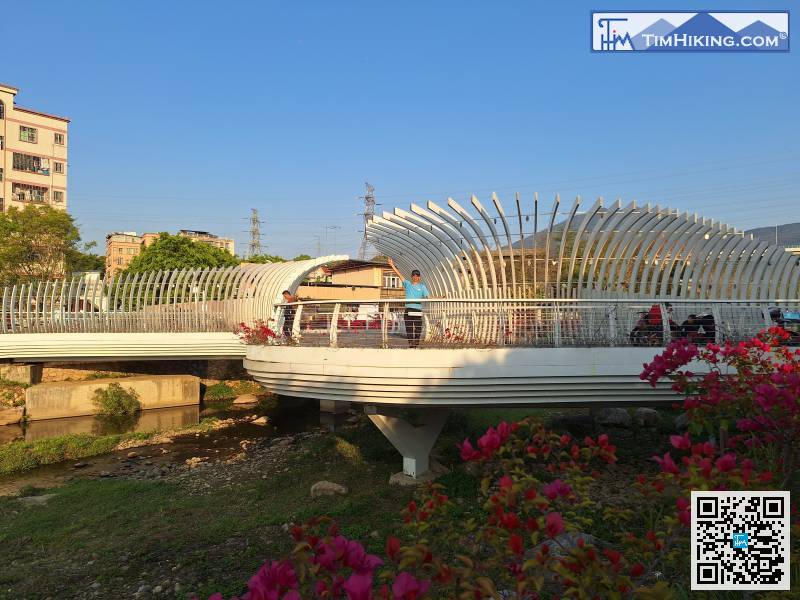
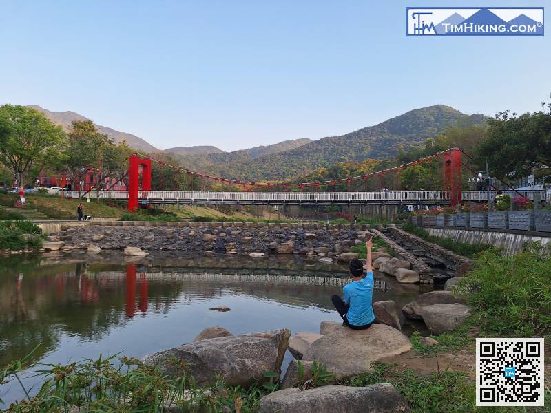
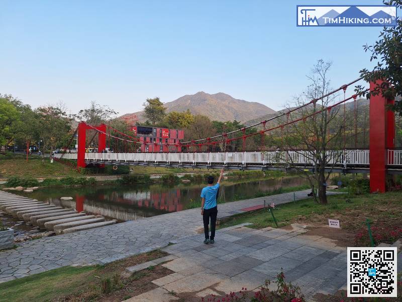
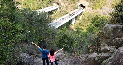
You will see two beautiful bridges by the river. One bridge is shaped like a shell and looks very dynamic.


