


 Recommend YouTube


| View : |  | ||
| Difficulty : |  | ||
| Path : | |||
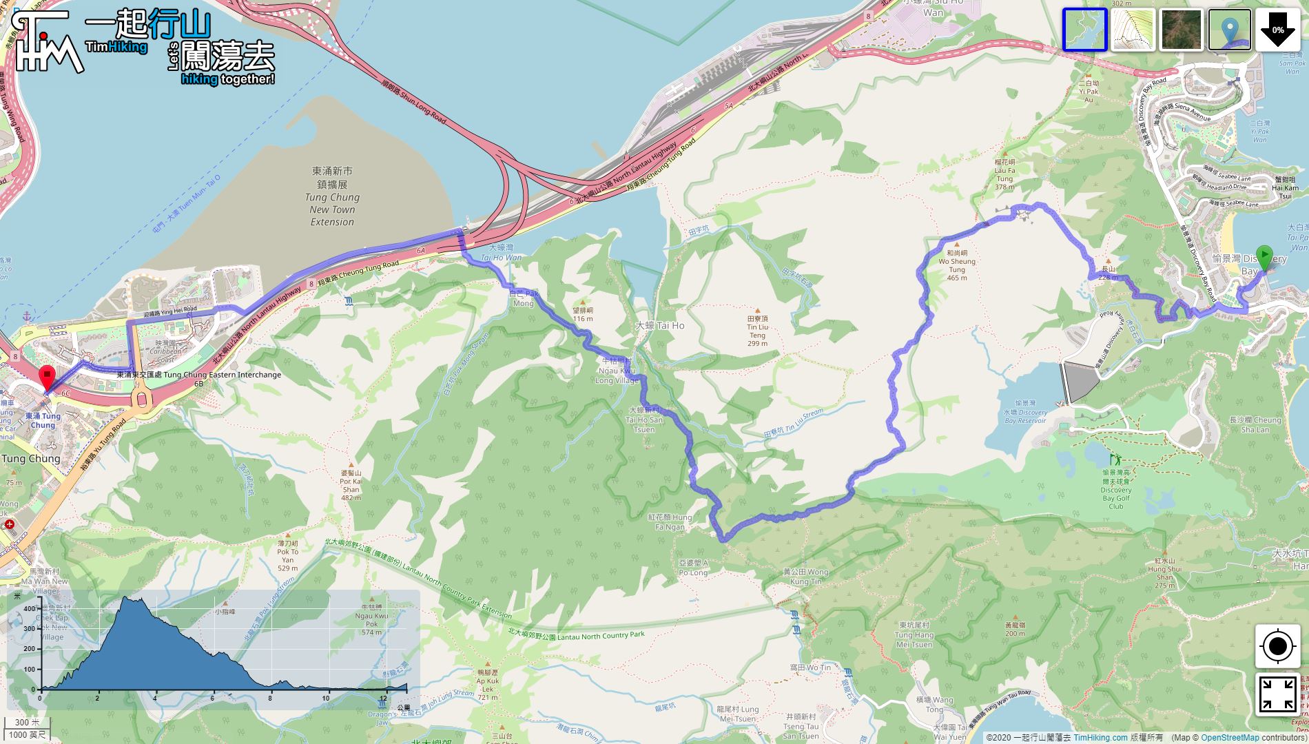
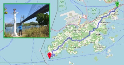
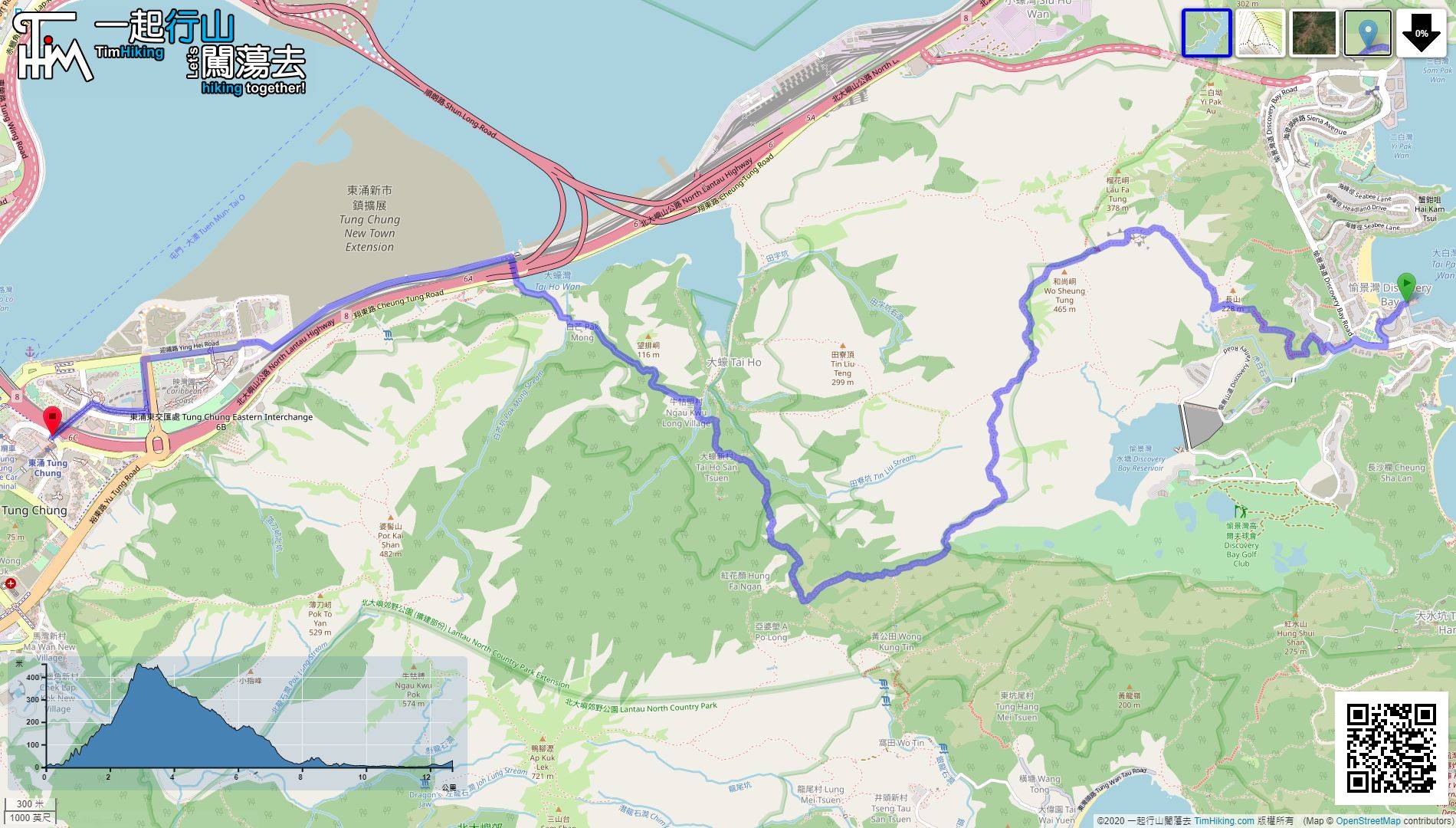
| Length : | 12.8km | ||
| Time : | 5hours | ||
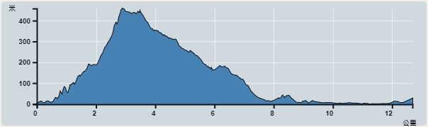 | |
| Ascent : 710m | Descent : 707m |
| Max : 458m | Min : 0m |
| (The accuracy of elevation is +/-30m) | |


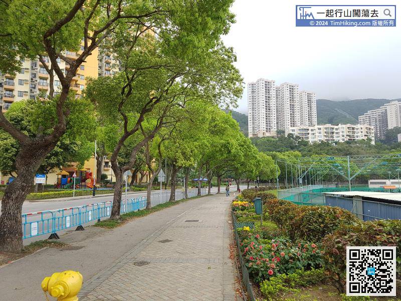
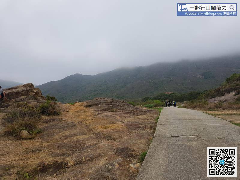
After First, return to Discovery Bay Road where just got off. Then, walk towards the beach,

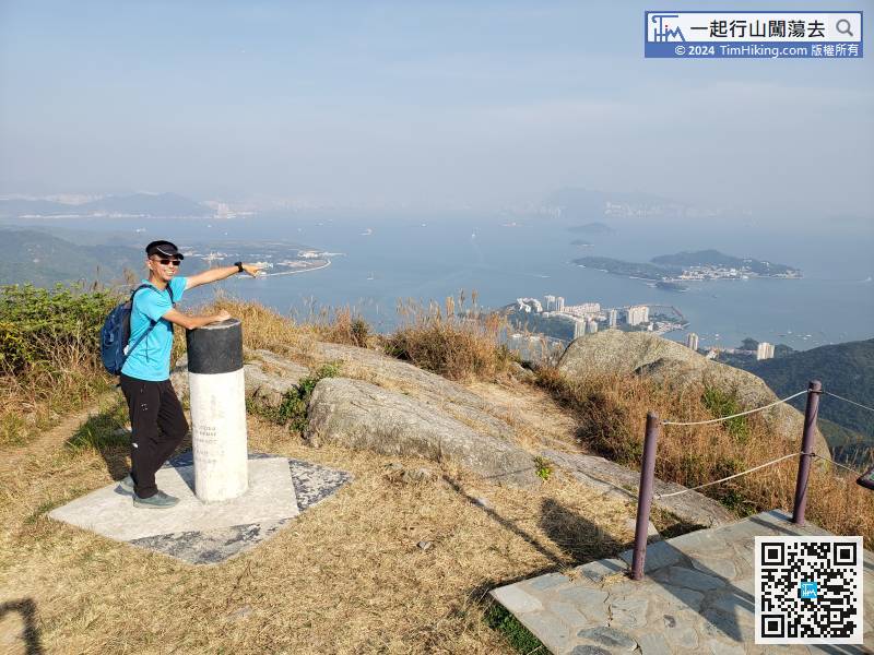
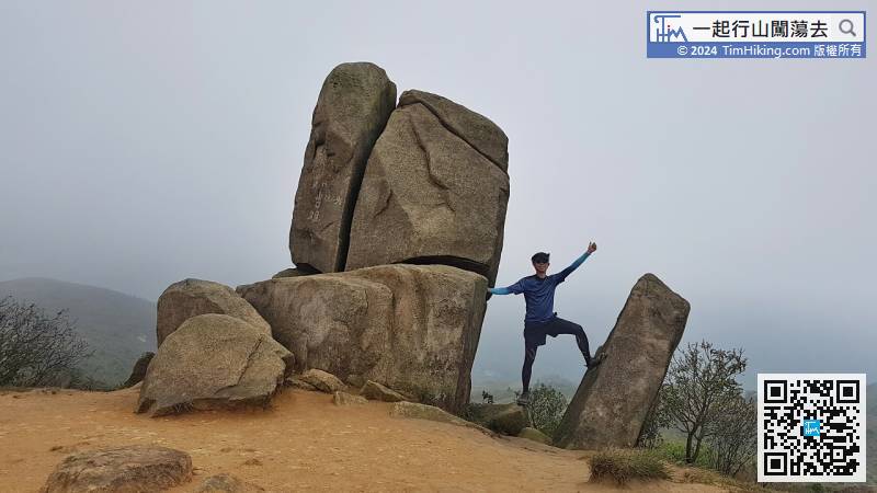
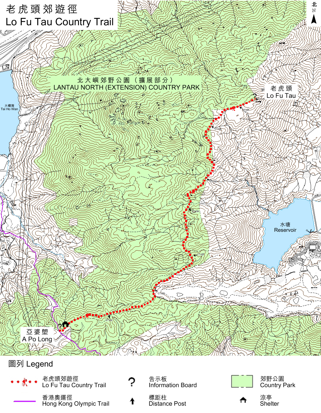
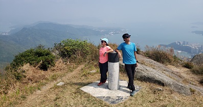
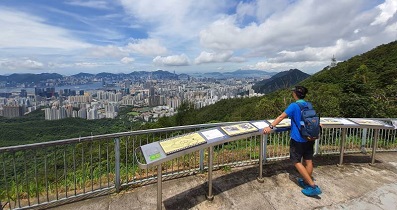
Lo Fu Tau has a Trigonometrical Station, and two Viewing Points (southeast/northwest),
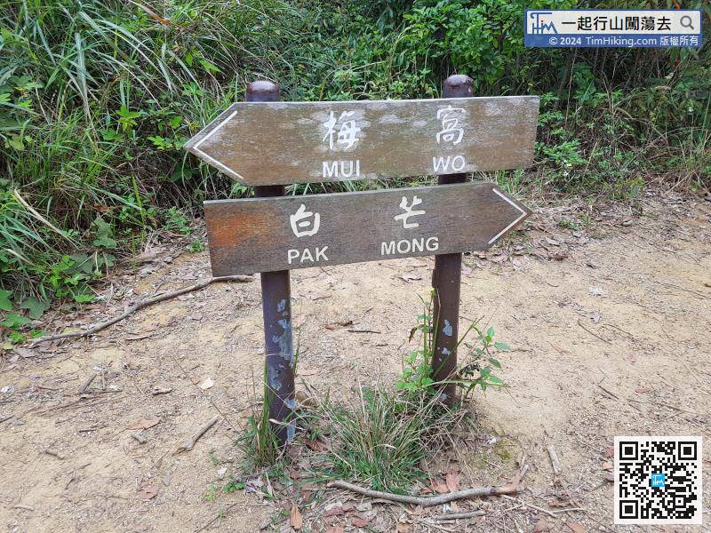
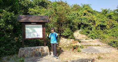
The trail on the left of A Po Long leads to Mui Wo, and the trail on the right leads to Pak Mong.
Official Map


