


 Recommend YouTube


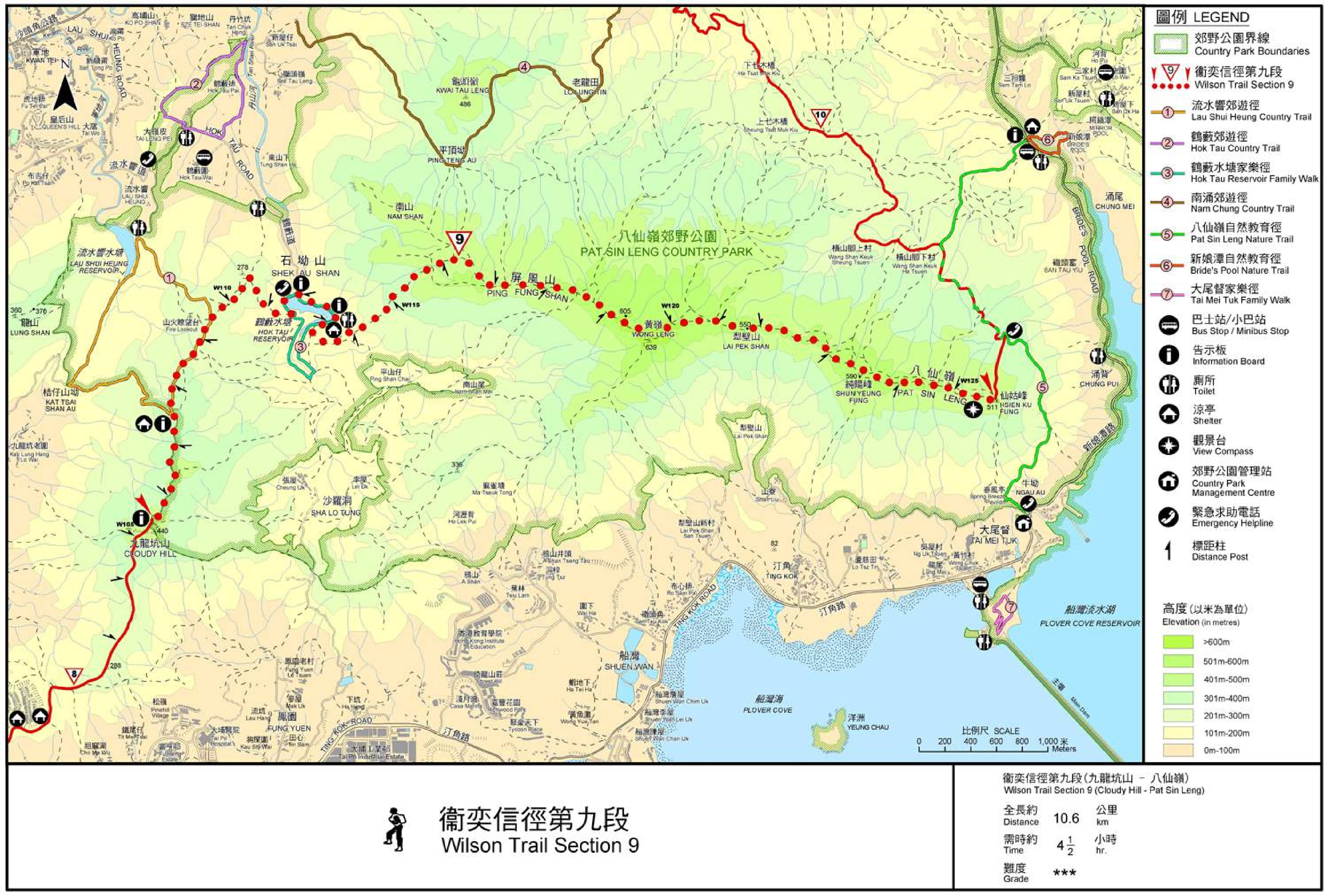
| View : |  | ||
| Difficulty : |  | ||
| Path : | |||
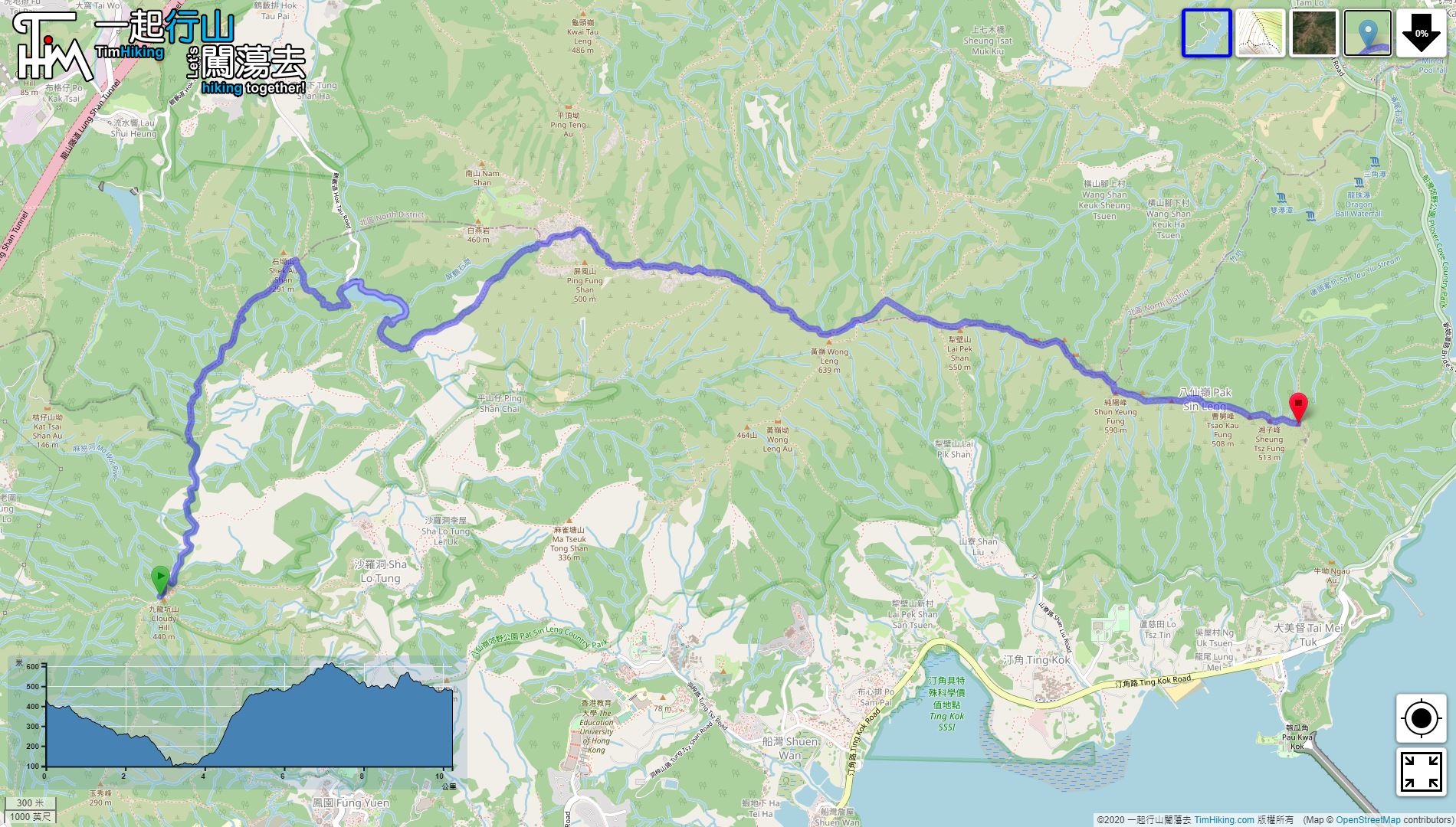
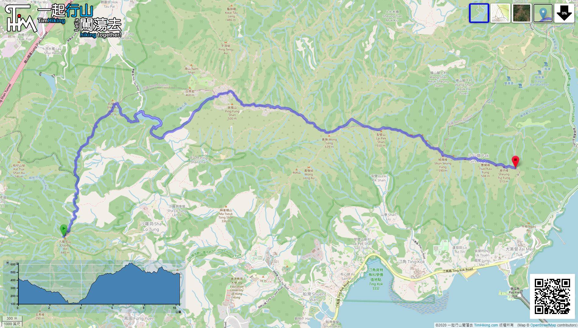
| Length : | 10.3km | ||
| Time : | 4½hours | ||
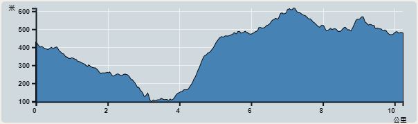 | |
| Ascent : 802m | Descent : 778m |
| Max : 616m | Min : 98m |
| (The accuracy of elevation is +/-30m) | |


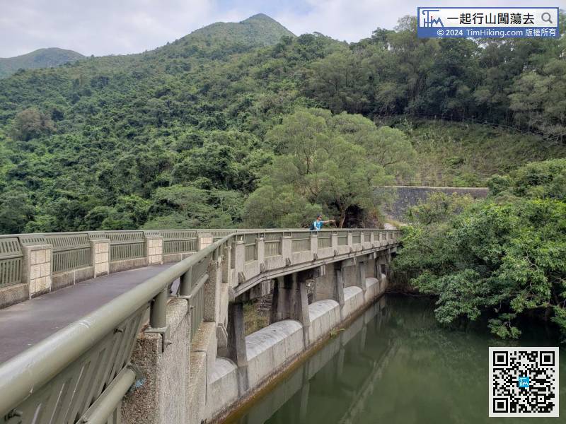
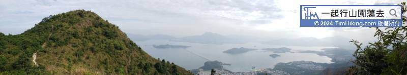
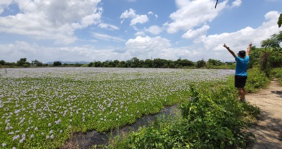
 23︰The reservoir is very calm, like a Sky Mirror.
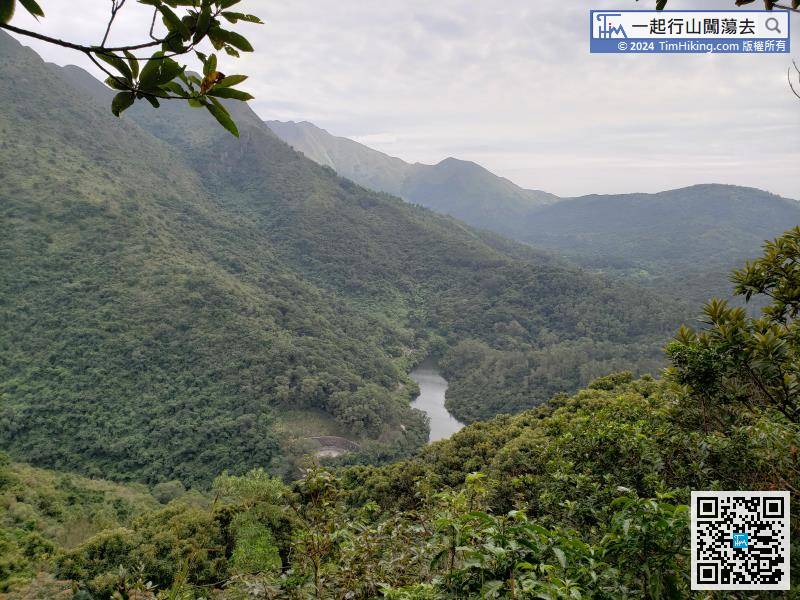
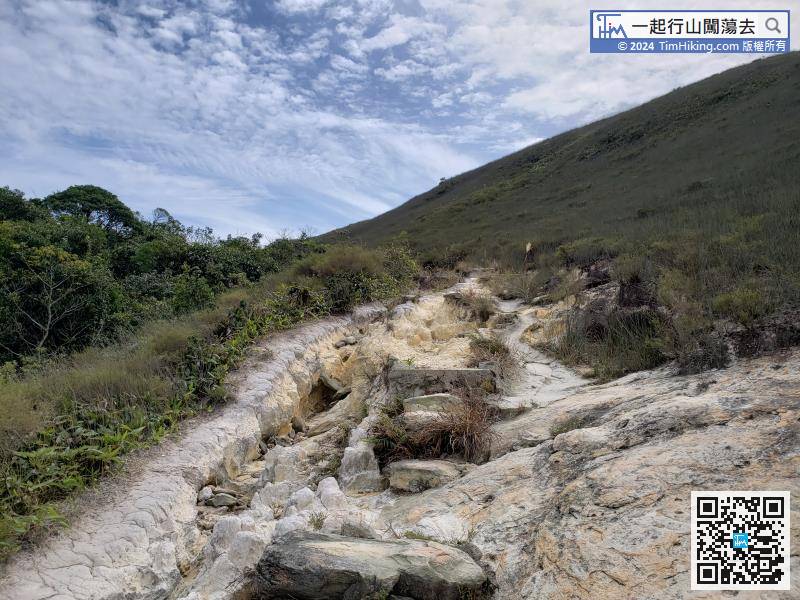
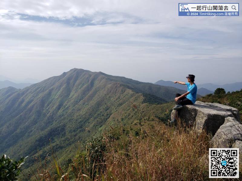
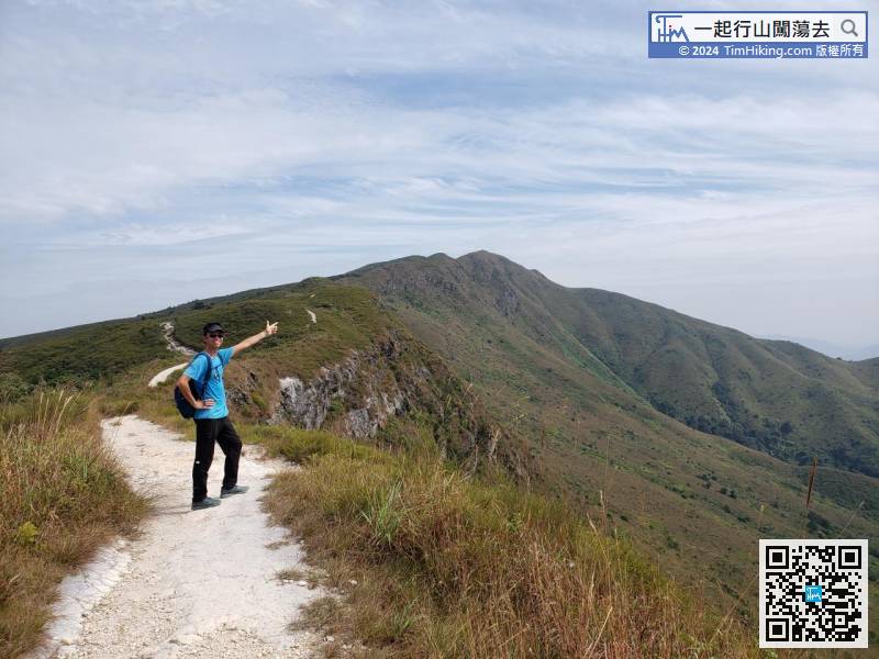
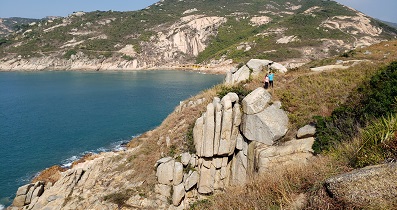
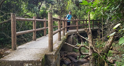
The trail that going is a bit rugged and rotten, but not floating sand and gravel.
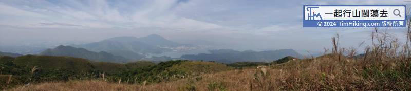
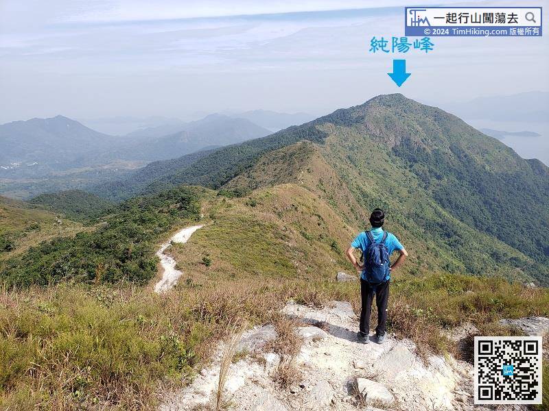
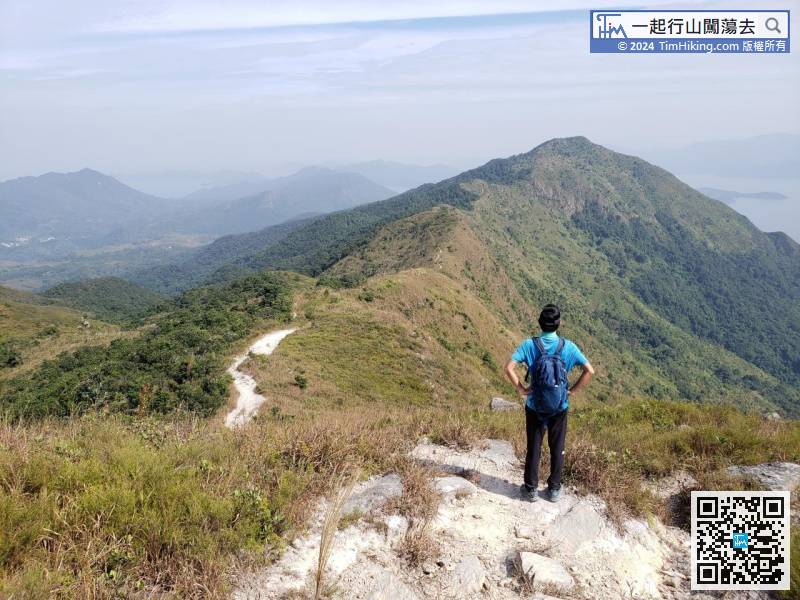
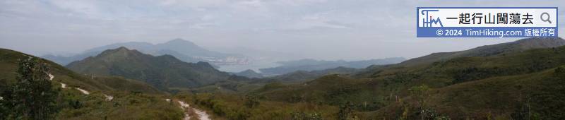
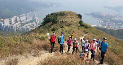
The highest mountain in front is Shun Yeung Fung in Pat Sin Leng.
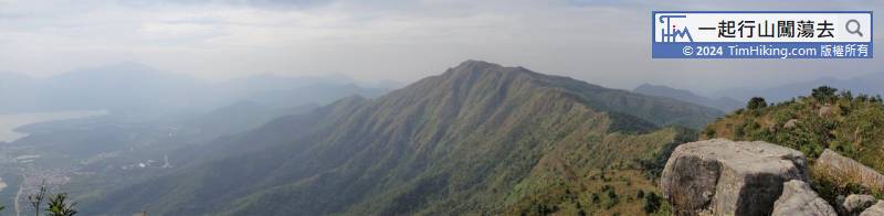
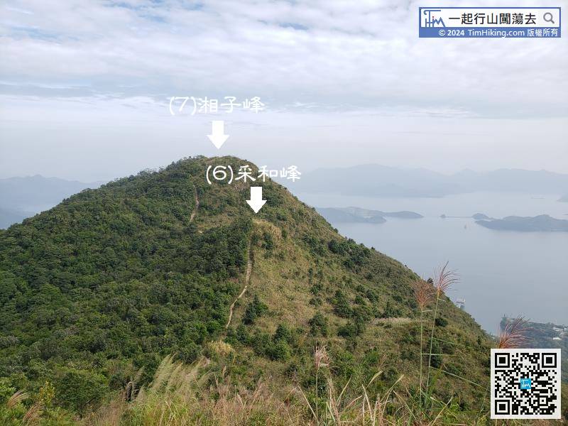
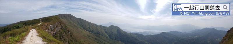
The ups and downs of each mountain is very small, unlike The Twins, Ho Hok Shan, Sze Pai Shek Shan.
Official Map


