


 Recommend YouTube


| View : |  | ||
| Difficulty : |  | ||
| Path : | |||
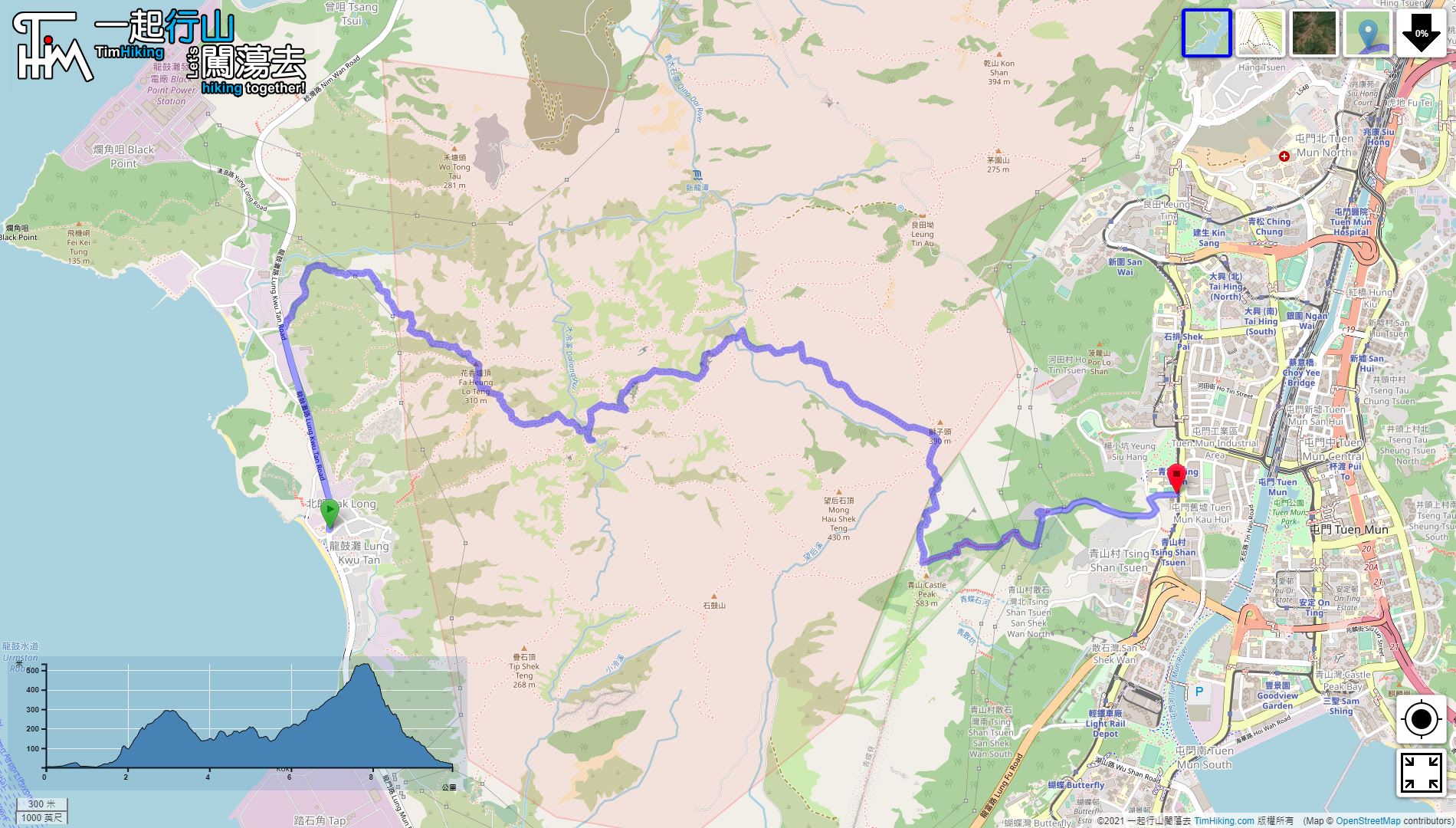
| Length : | 10.1km | ||
| Time : | 7hours | ||
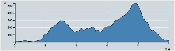 | |
| Ascent : 933m | Descent : 927m |
| Max : 533m | Min : 0m |
| (The accuracy of elevation is +/-30m) | |


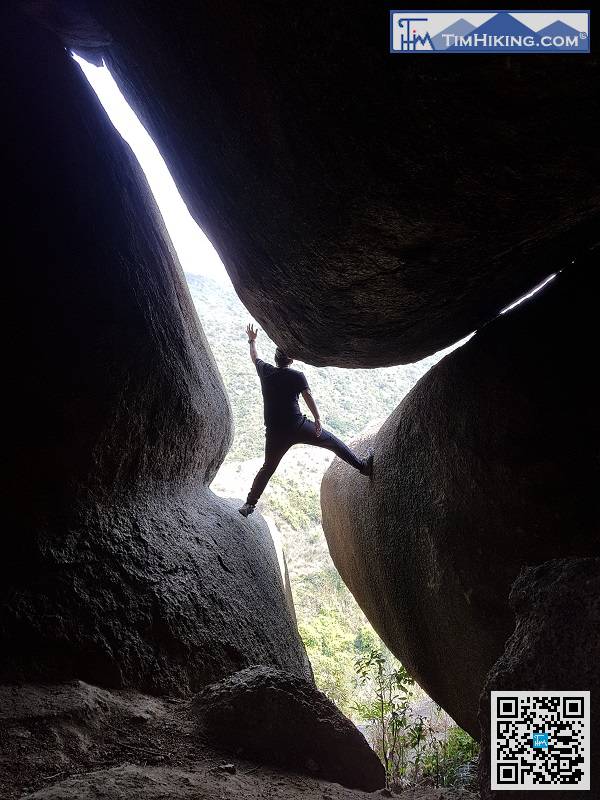
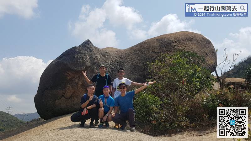
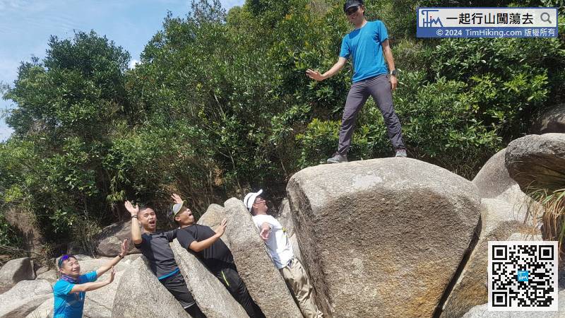
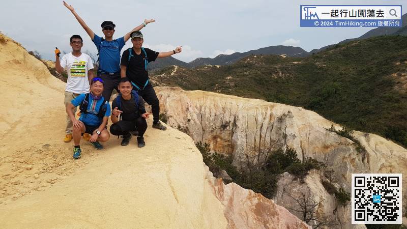
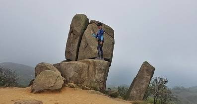
The cross is very high. If wanna climb over, it is very important to have good mountain shoes, body shape is also very important, too tall, buttocks against big rocks, the centre of gravity relationship cannot pass.
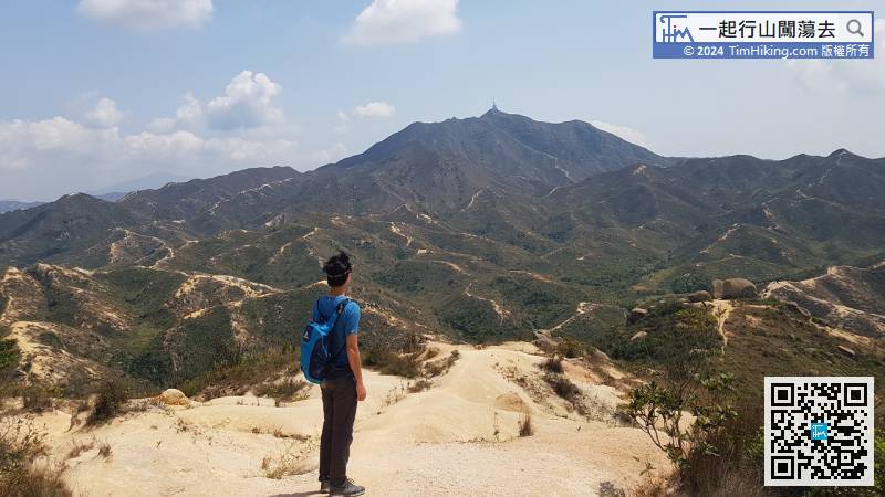
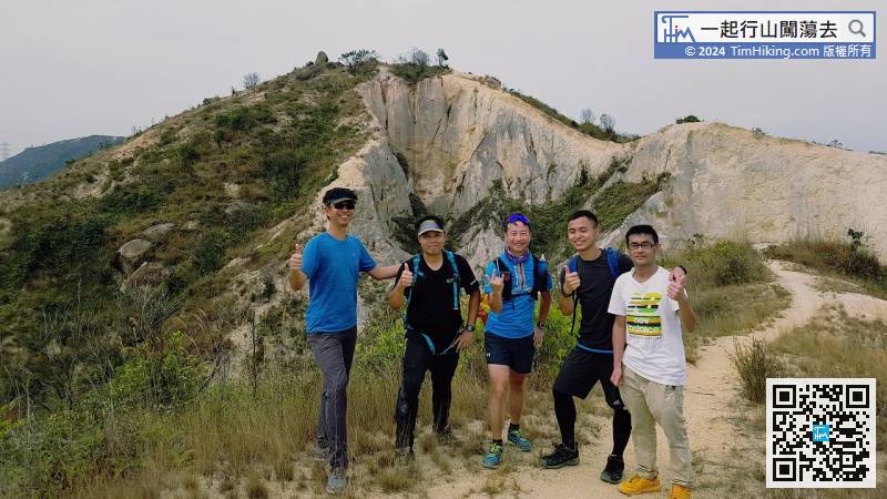
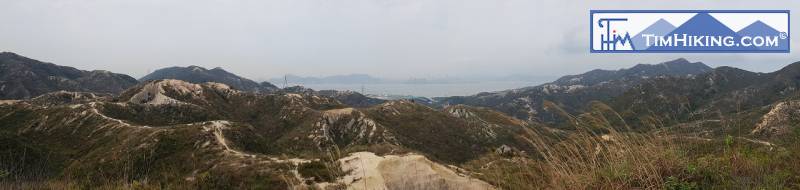
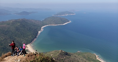
Climb to the top and continue to the northeast, that is Ching Tsung Hung Kok.
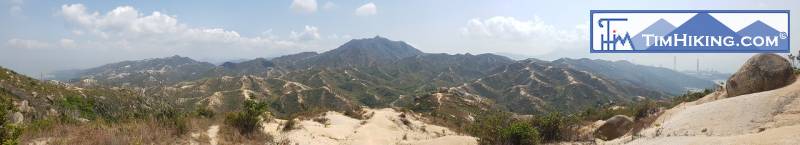
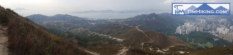
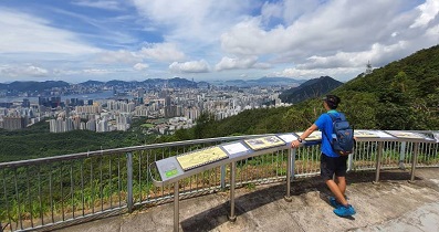
It just happens to be close to the sunset, just relaxing for a while more, and then start downhill.


