


 Recommend YouTube

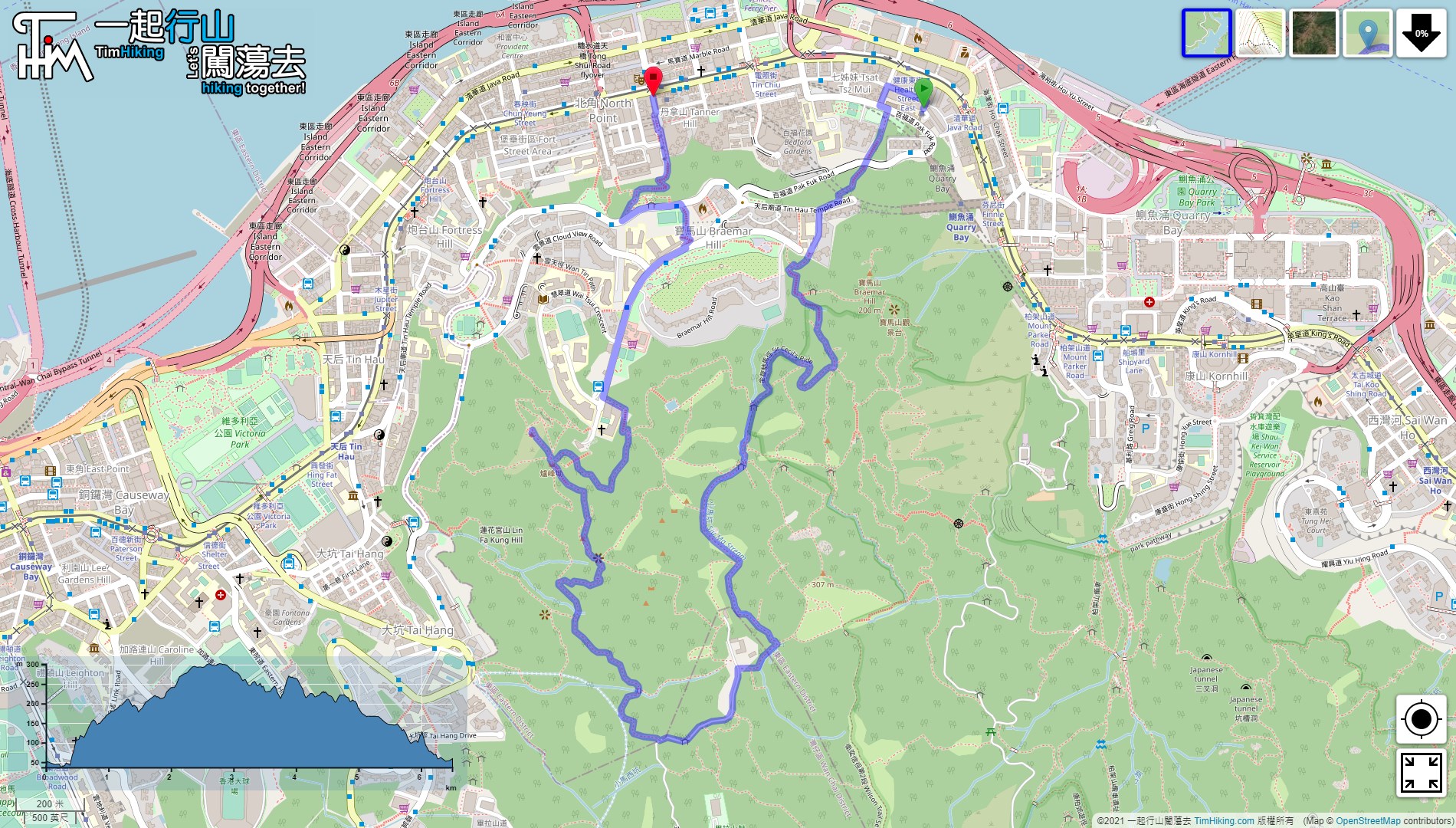

| View : |  | ||
| Difficulty : |  | ||
| Path : | |||
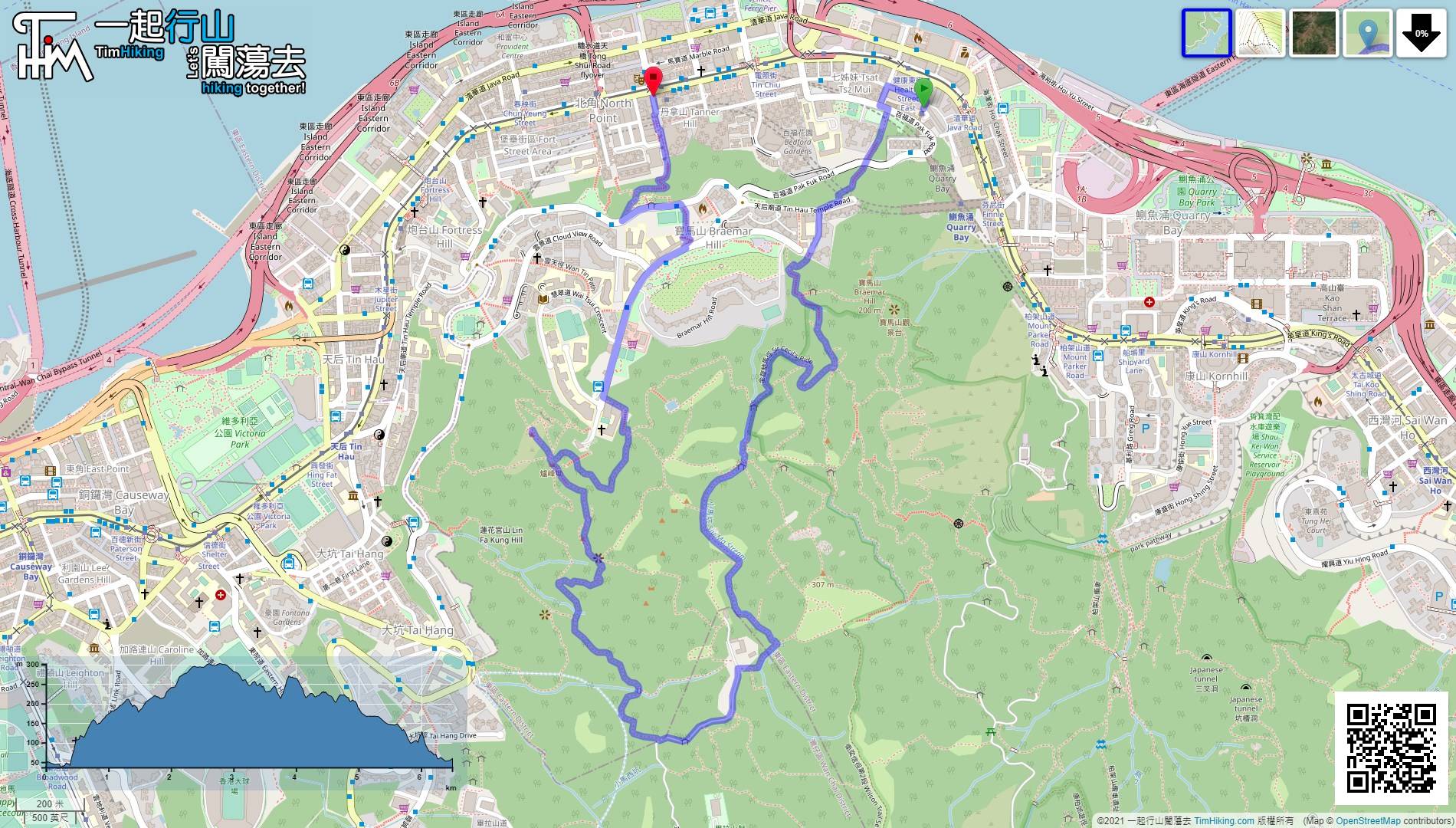
| Length : | 6.5km | ||
| Time : | 2½hours | ||
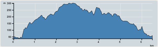 | |
| Ascent : 520m | Descent : 509m |
| Max : 301m | Min : 37m |
| (The accuracy of elevation is +/-30m) | |


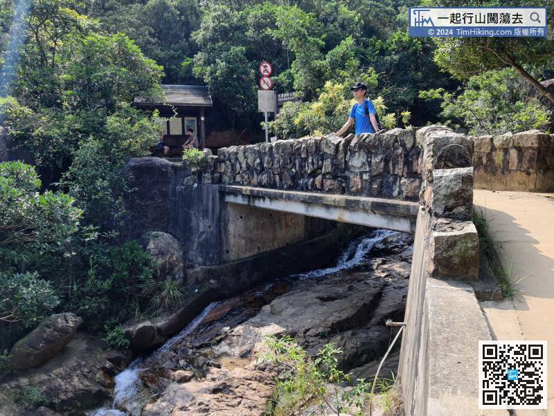
 17︰Follow the Po Luen Path to the end, and will see a wide stairway.
Follow the Po Luen Path to the end, and will see a wide stairway.
30︰then turn right at the bifurcation 45︰will come to the location of Si Yau Pavilion. The environment is like a garden.
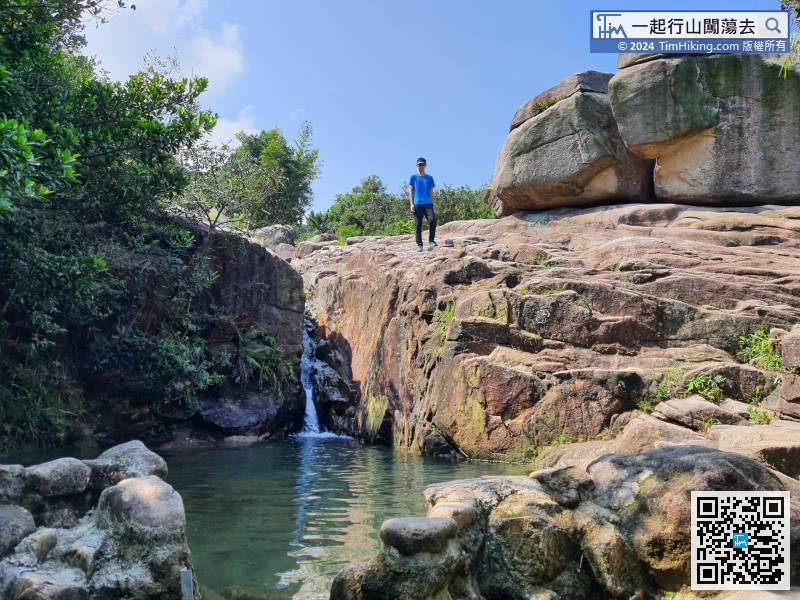
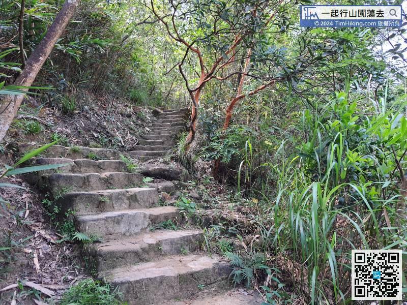 52︰In an instance, come to the only pond in Siu Ma Stream.
 65︰There are 5-6 intersections when coming to this clearing. The direction is on the far right.
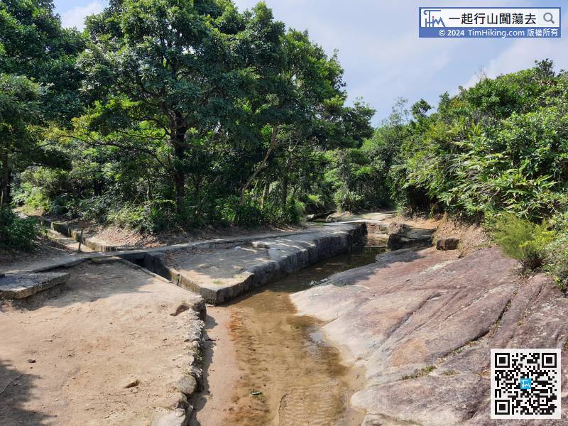
There are 5-6 intersections when coming to this clearing. The direction is on the far right.
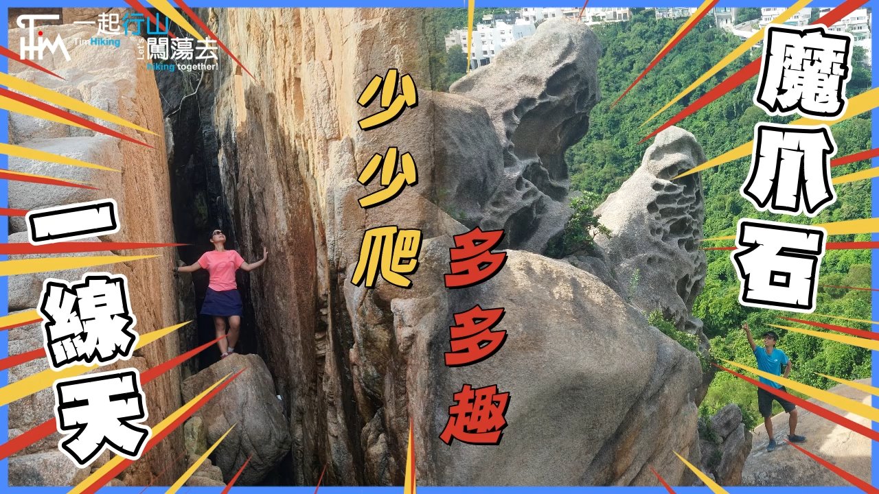
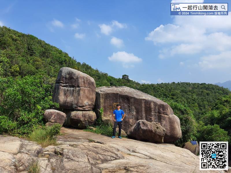
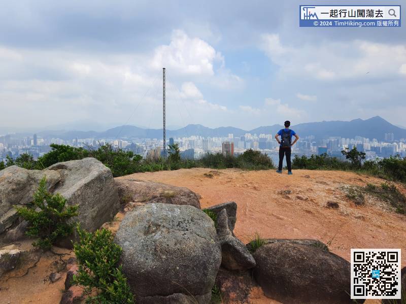
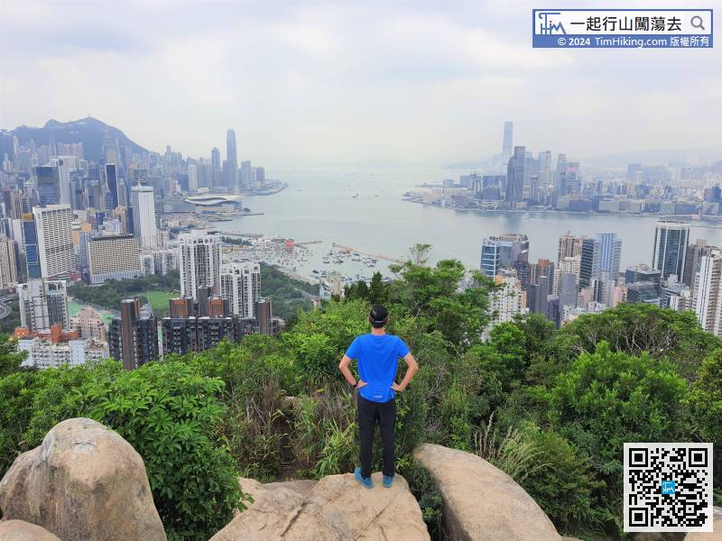
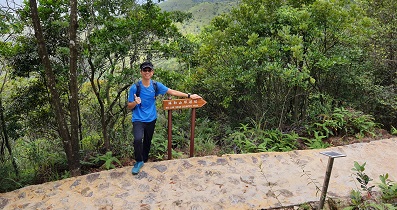
79︰and soon will find a boulder with a panoramic view of Victoria Harbour.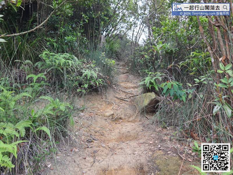
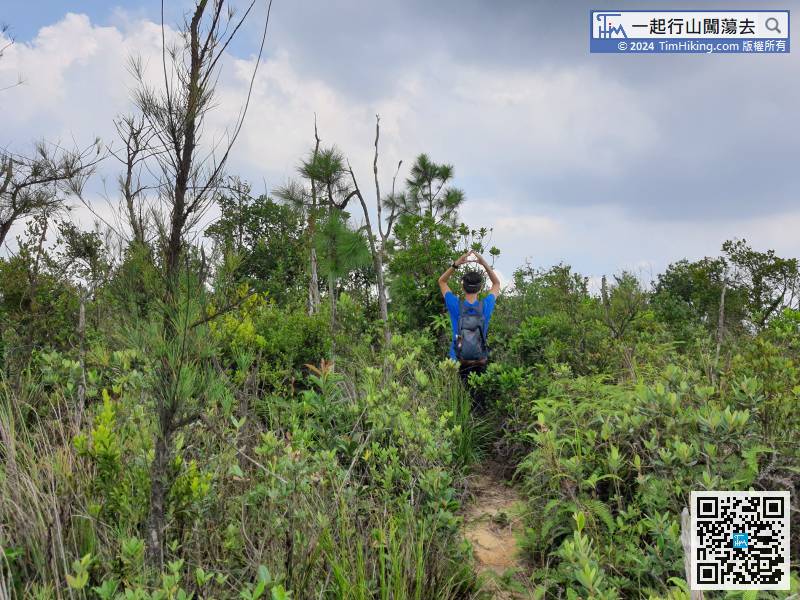
If wanna trying to climb Lin Fa Kung Hill, turn right into the barren trail,
90︰To Lin Fa Kung Hill, keep to the left,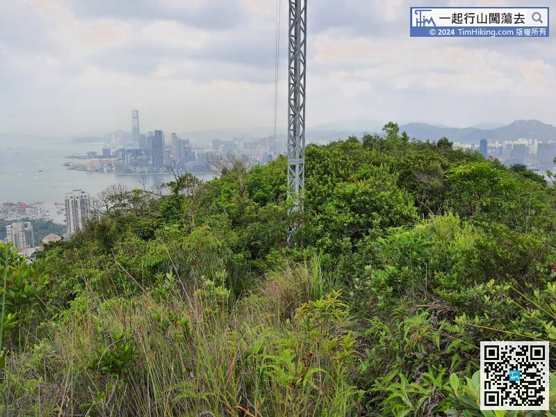 102︰Keep to the left is the trail to climb Hung Heung Lo Fung.
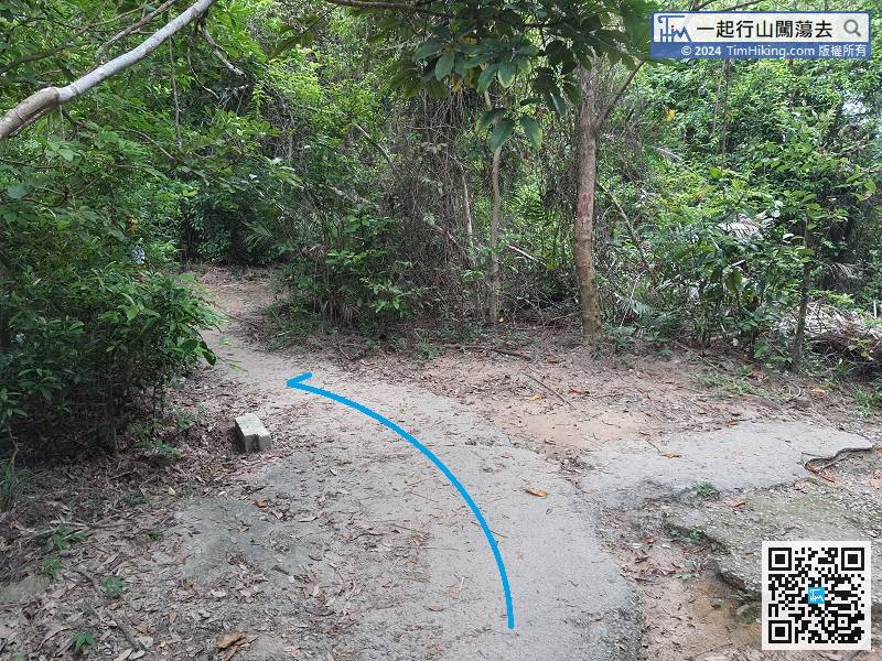
Keep to the left is the trail to climb Hung Heung Lo Fung.
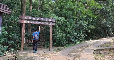
119︰and then walk a little bit forward will come to the entrance of Aroma Walk.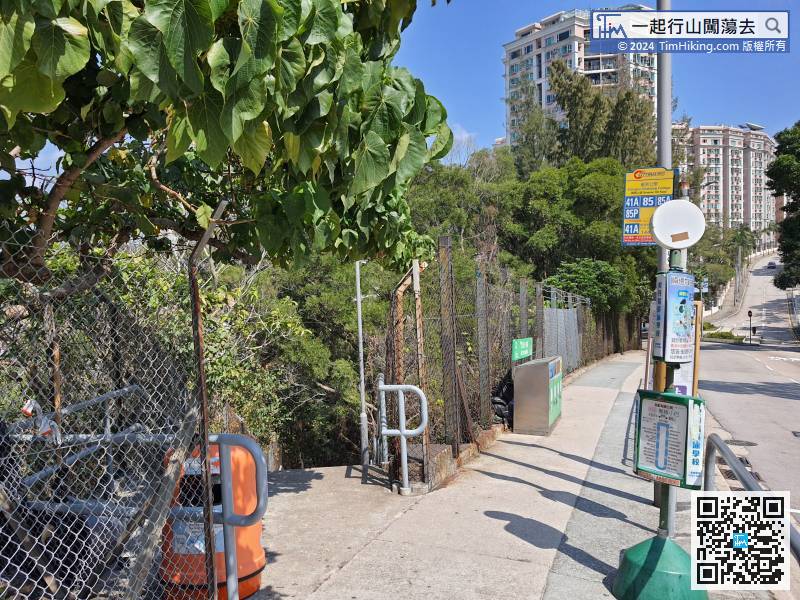
After passing the Kiangsu-Chekiang College, pay attention to the steps on the left-hand side,


