Recommend YouTube

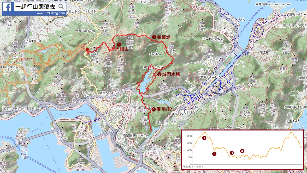


| View : |  | ||
| Difficulty : |  | ||
| Path : | |||
| Length : | 42.38km | ||
| Time : | 8.3hours | ||
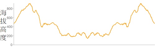 | |
| Ascent : 2,430m | Descent : 2,431m |
| Max : 921m | Min : 142m |
| (The accuracy of elevation is +/-30m) | |


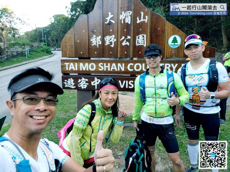
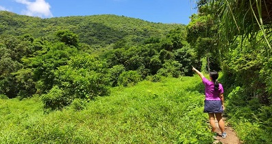
Early in the early morning of the great dynasty, take a taxi with a few hikers to Tai Mo Shan. They were $50 per person and arrived in half an hour.
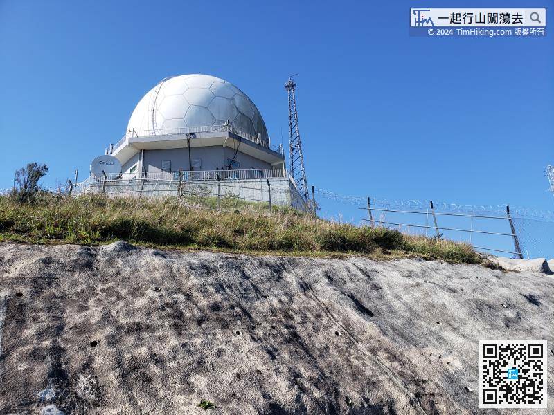

After the supply is complete, ascend the Golden Hill stairs, which is the MacLehose Trail (Section 6). This section is a 1.4km mountain trail, followed by a 2.4km slope, to the Kowloon Reservoir Main Dam and turn back.

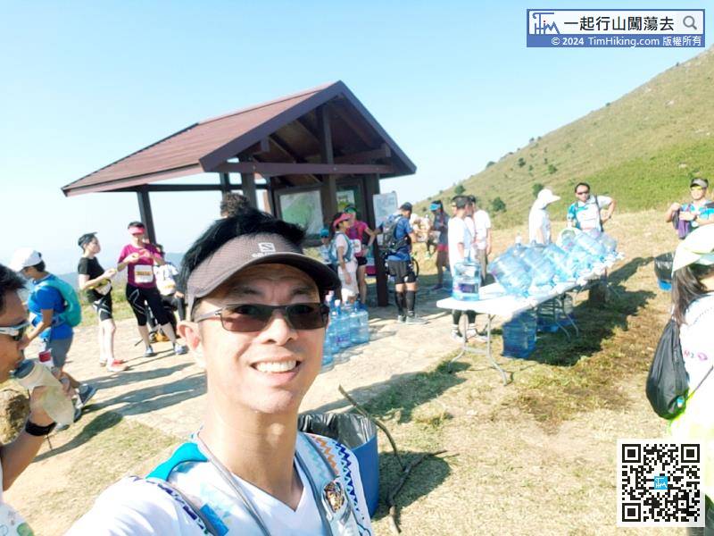
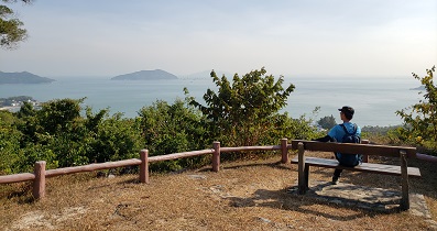
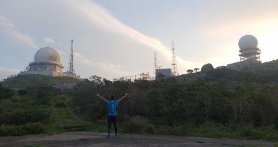
After passing the difficult Sze Fong Shan and arrived at the Sze Fong Pavilion, the last water station.

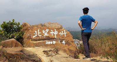
Finally crossed the line! The time was 04:21:00 in the afternoon, and the total time was 08:21:00. I completed my wish and completed it before the sunsets.
Hiking Route Map