


 Recommend YouTube


| View : |  | ||
| Difficulty : |  | ||
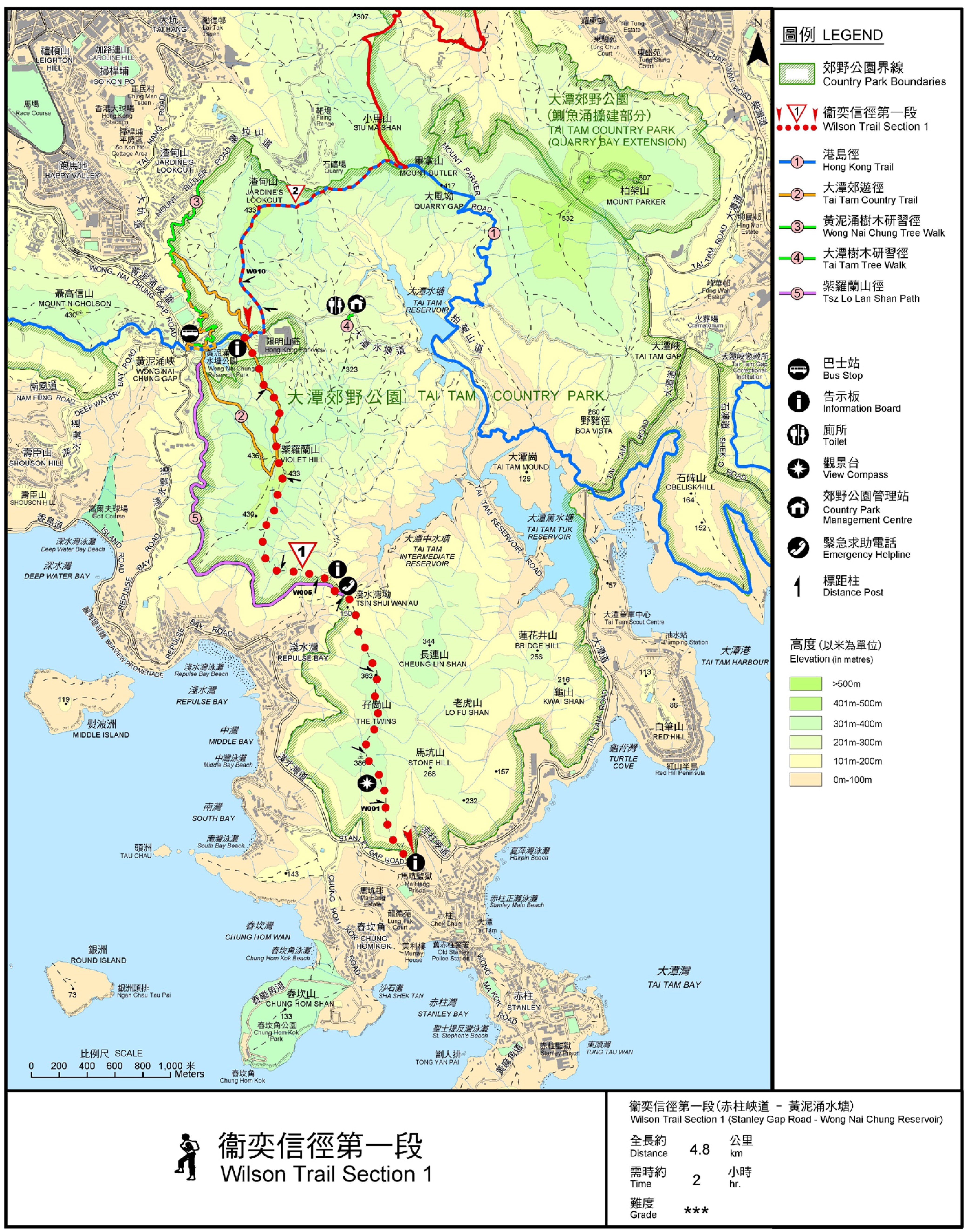
| Path : | |||
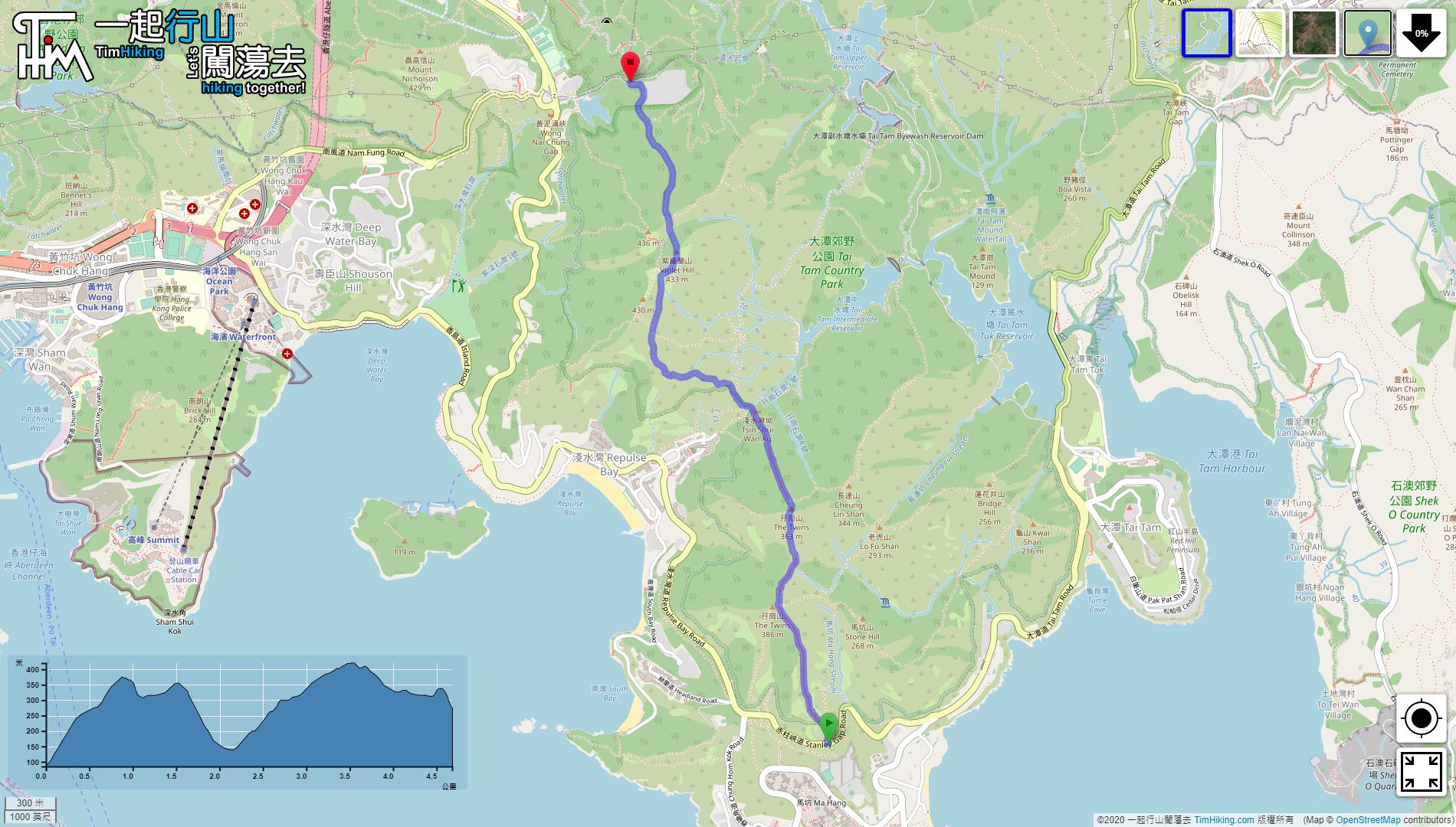
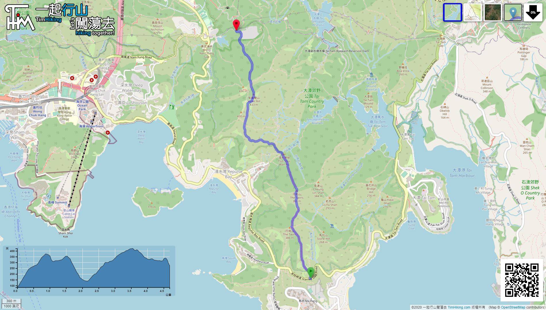
| Length : | 4.8km | ||
| Time : | 3hours | ||
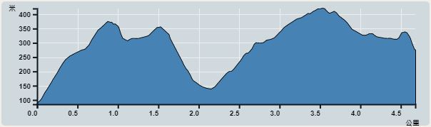 | |
| Ascent : 671m | Descent : 423m |
| Max : 420m | Min : 85m |
| (The accuracy of elevation is +/-30m) | |


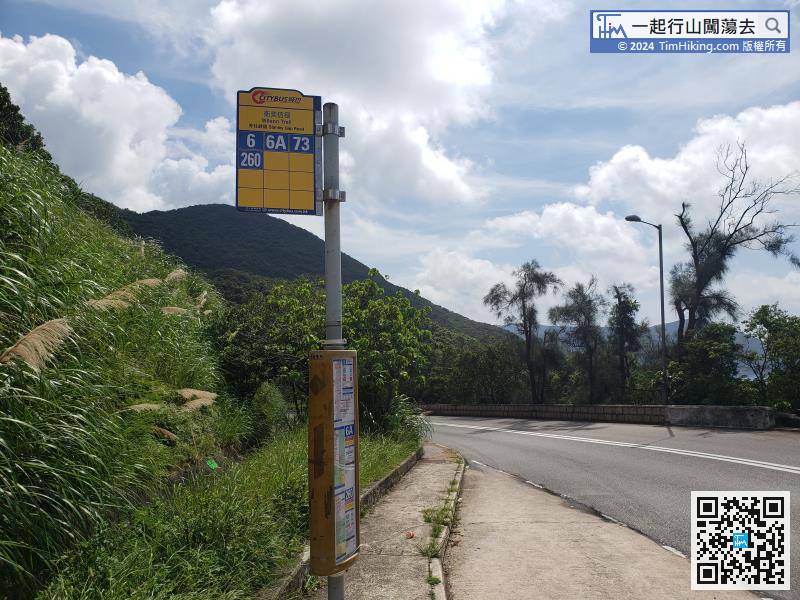
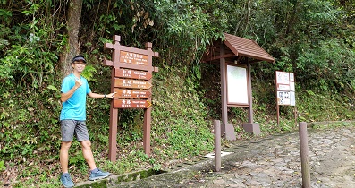
you can take bus 6/6A/73/260 to Wilson Trail Stanley Gap Road.


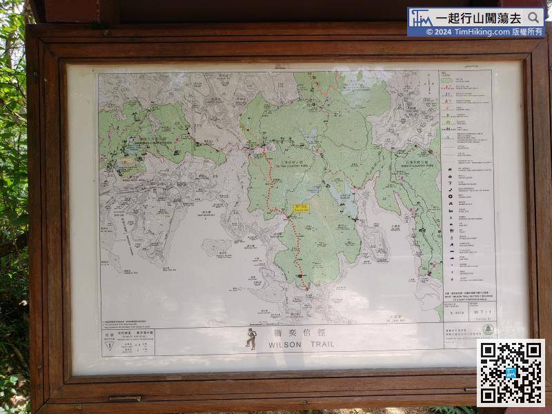
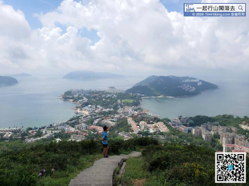
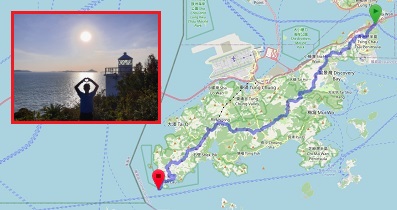
Looking at the map, the journey is actually only halfway through.

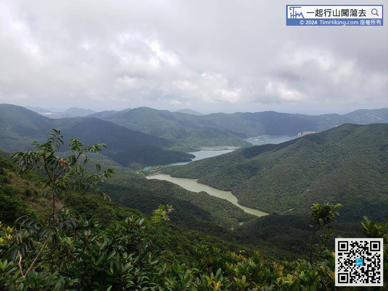
On the right is Tai Tam Intermediate Reservoir.

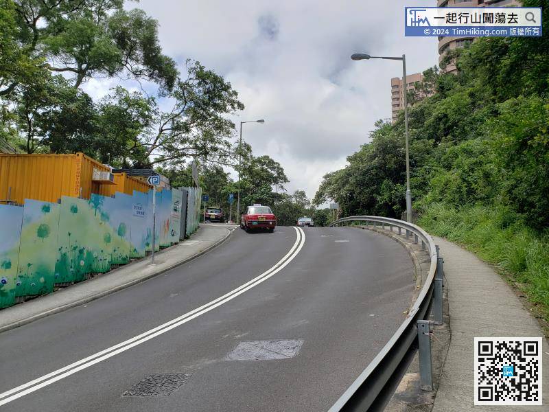
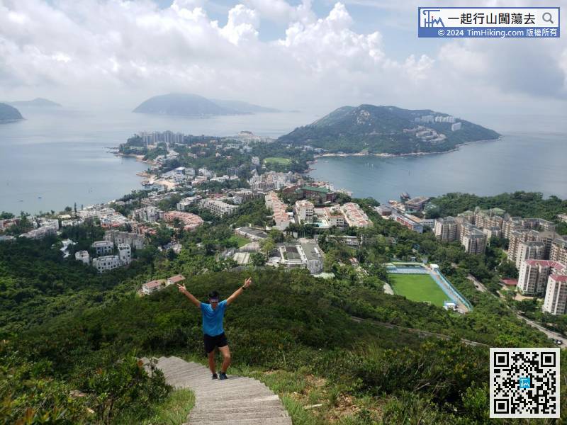
If you want to continue walking the Wilson Trail, you need to turn right to the opposite road Wilson Trail (Section 2).
Official Map


