


 Recommend YouTube
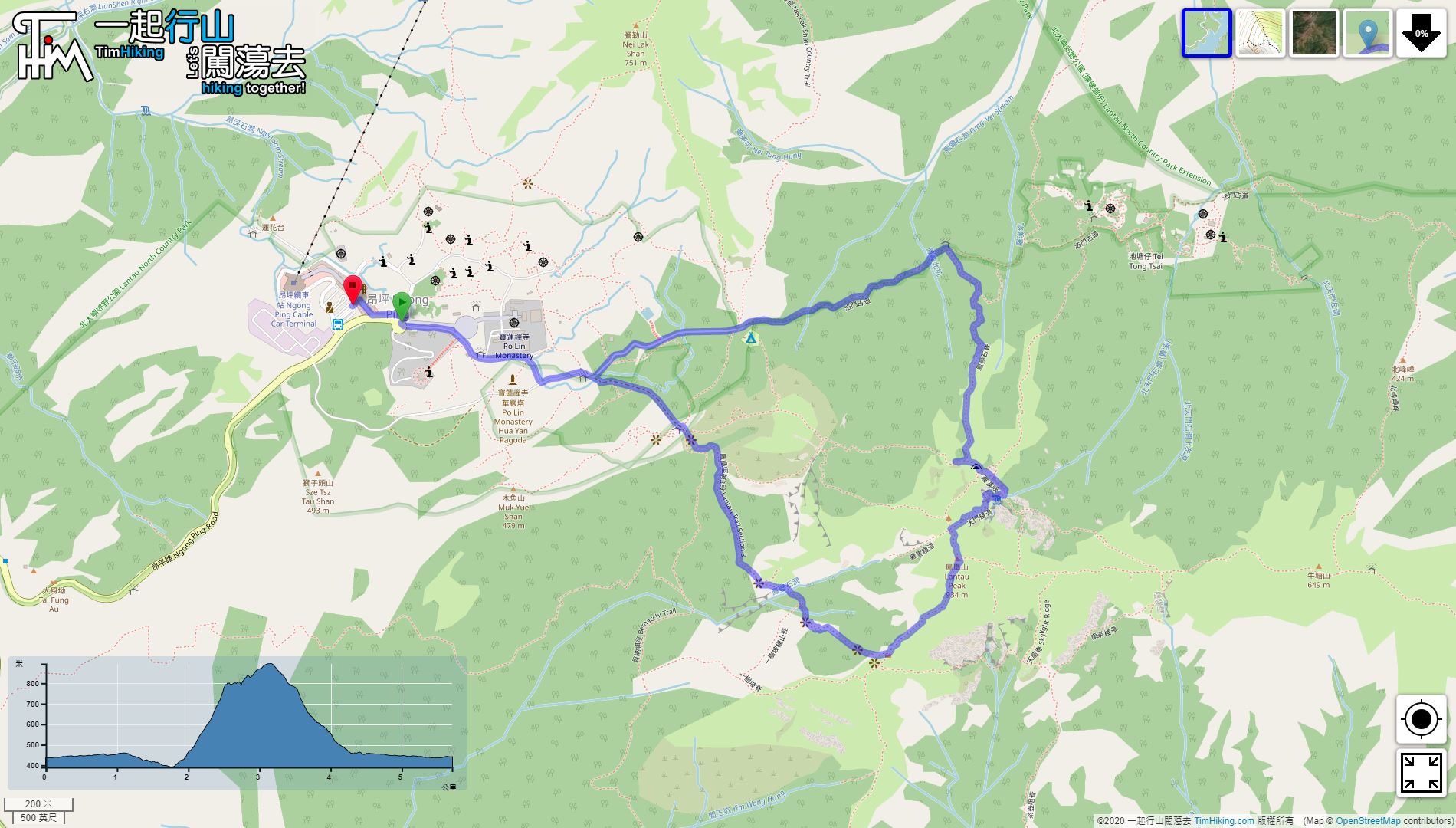
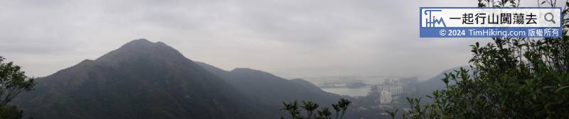
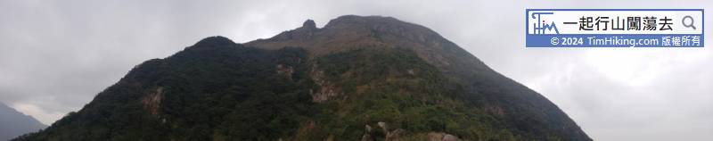
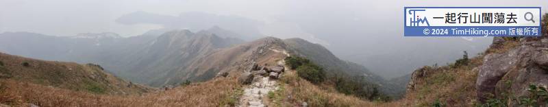
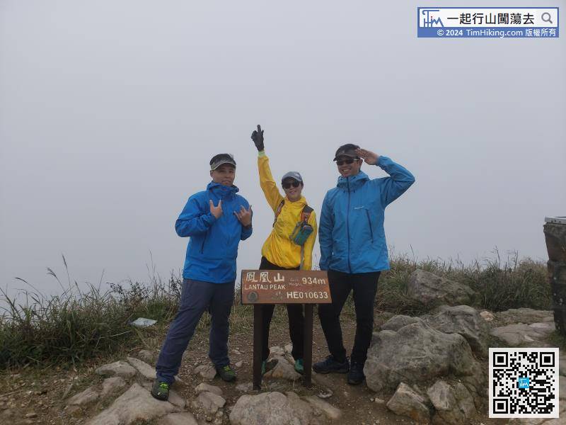
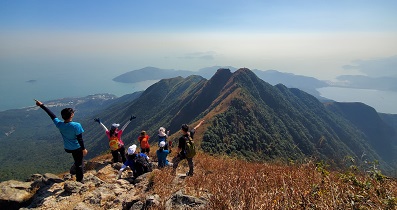
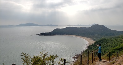
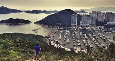
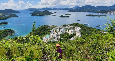
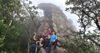
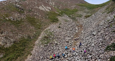
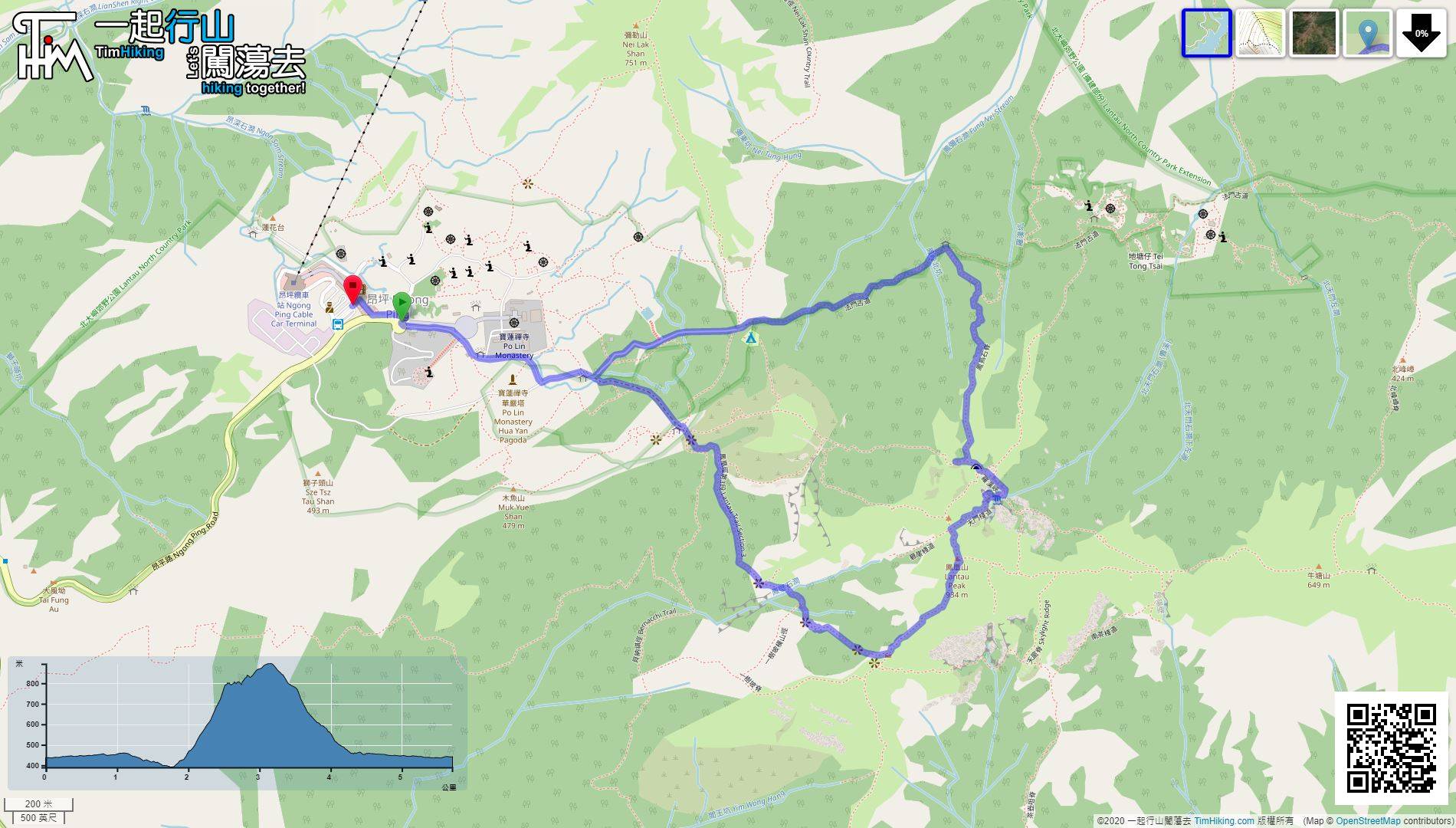
 Fung Niu Shek Ridge, North Heaven Gate


| View : |  | ||
| Difficulty : |  | ||
| Path : | |||
| Length : | 5.8km | ||
| Time : | 6hours | ||
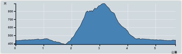 | |
| Ascent : 574m | Descent : 484m |
| Max : 894m | Min : 390m |
| (The accuracy of elevation is +/-30m) | |


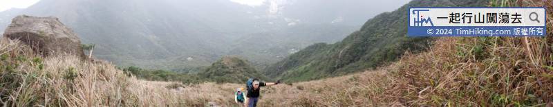
After getting off, go to the Fat Mun Ancient Trail in the direction of Tung Shan Fat Mun.
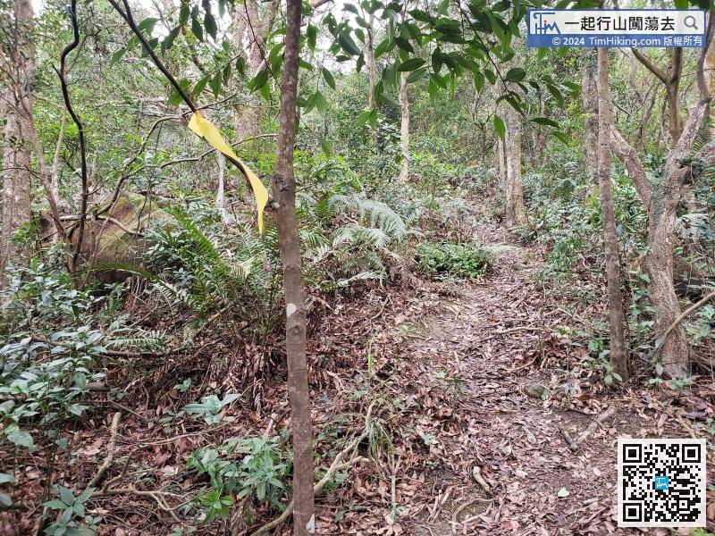
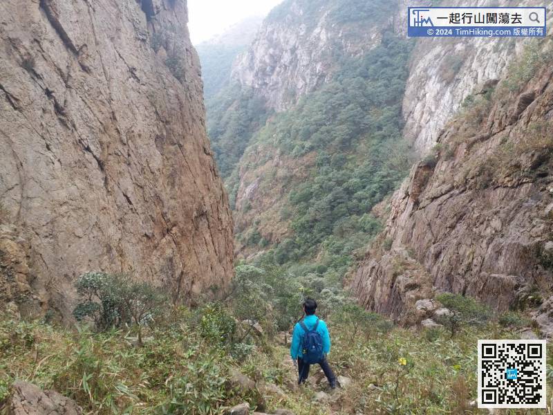
The entrance to Fung Niu Shek Ridge is very clear, and the ribbon guide is very sufficient. It is not a problem to identify the correct direction of the trail.
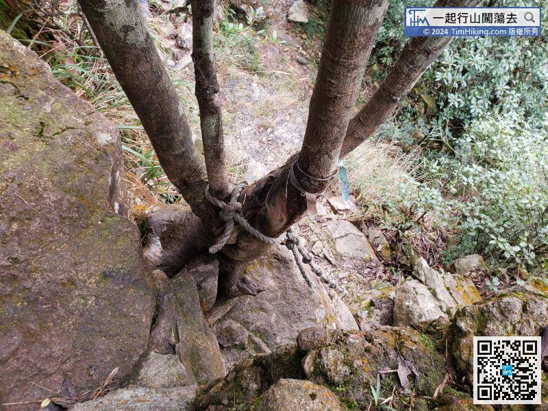
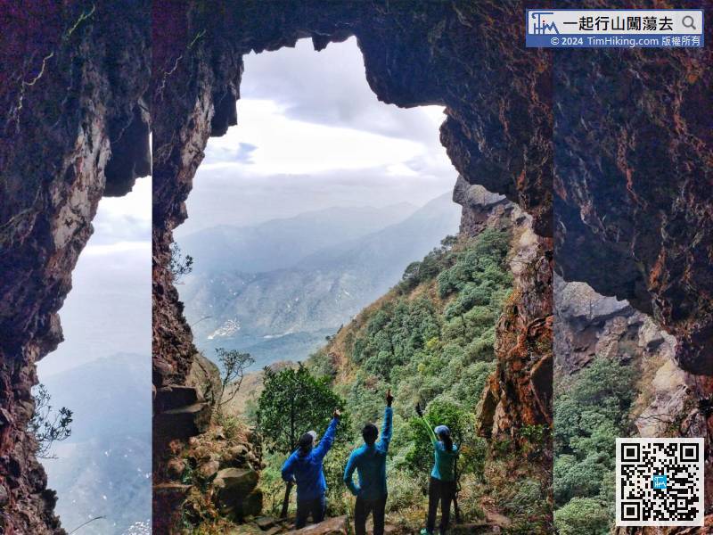
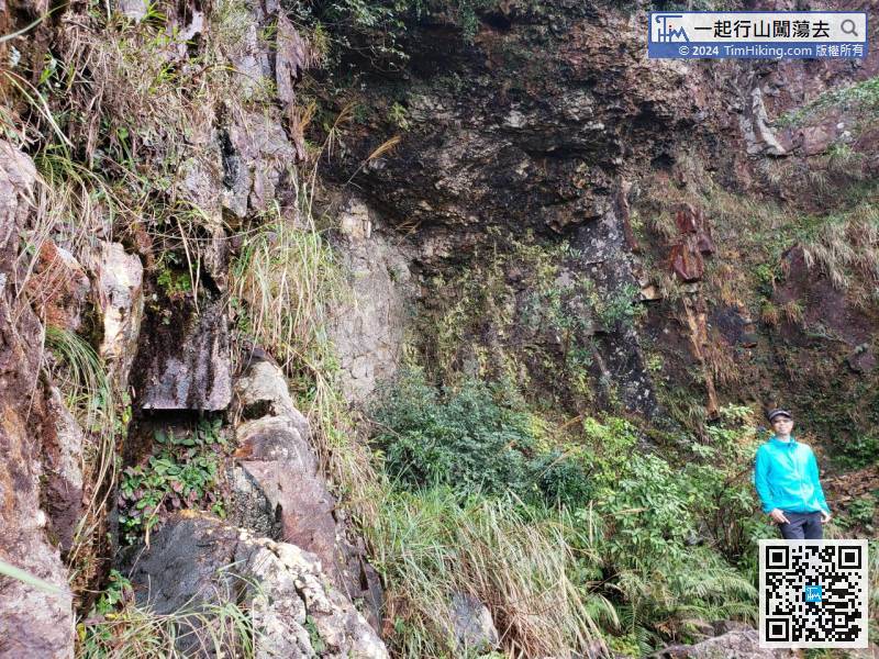
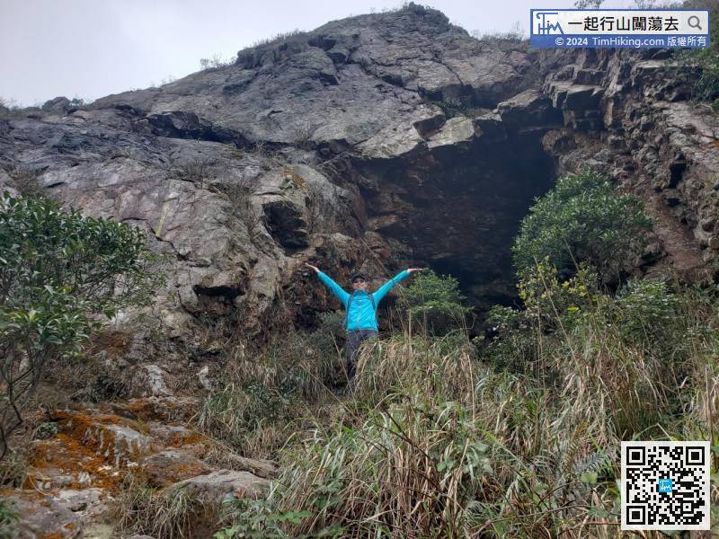
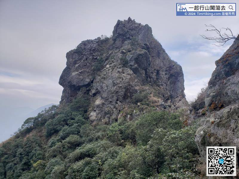
First turn right to visit Water Drops Rock. To go down Water Drops Rock, must climb a straight wall 3 meters below the rope.
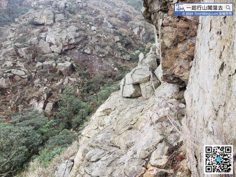
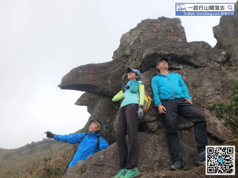
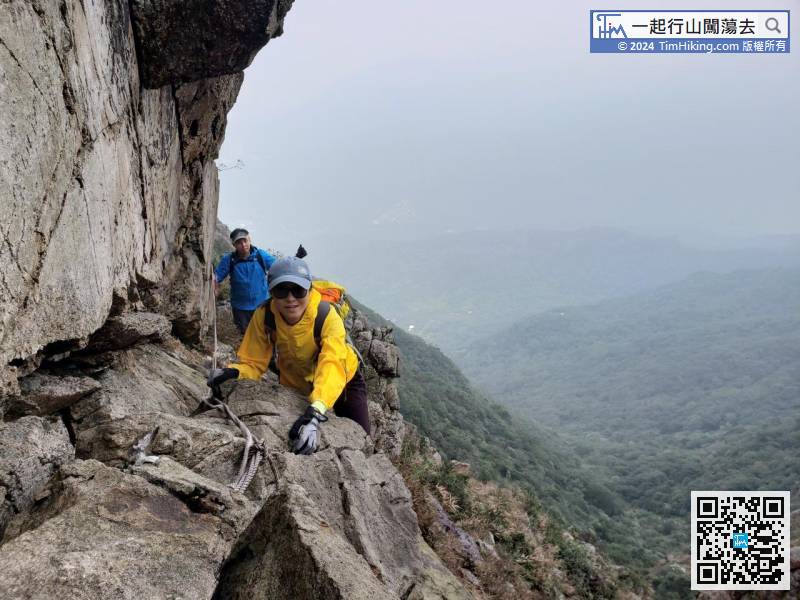
When coming to the most dangerous location on the Tin Mun Trail, be careful not to use the rope as the rope is not fastened, and the wrong use of force will cause falling into the cliff.


