


 Recommend YouTube


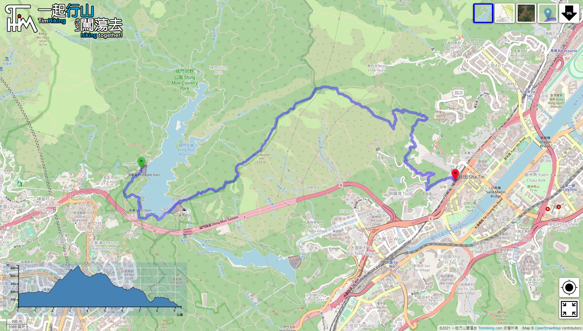

| View : |  | ||
| Difficulty : |  | ||
| Path : | |||
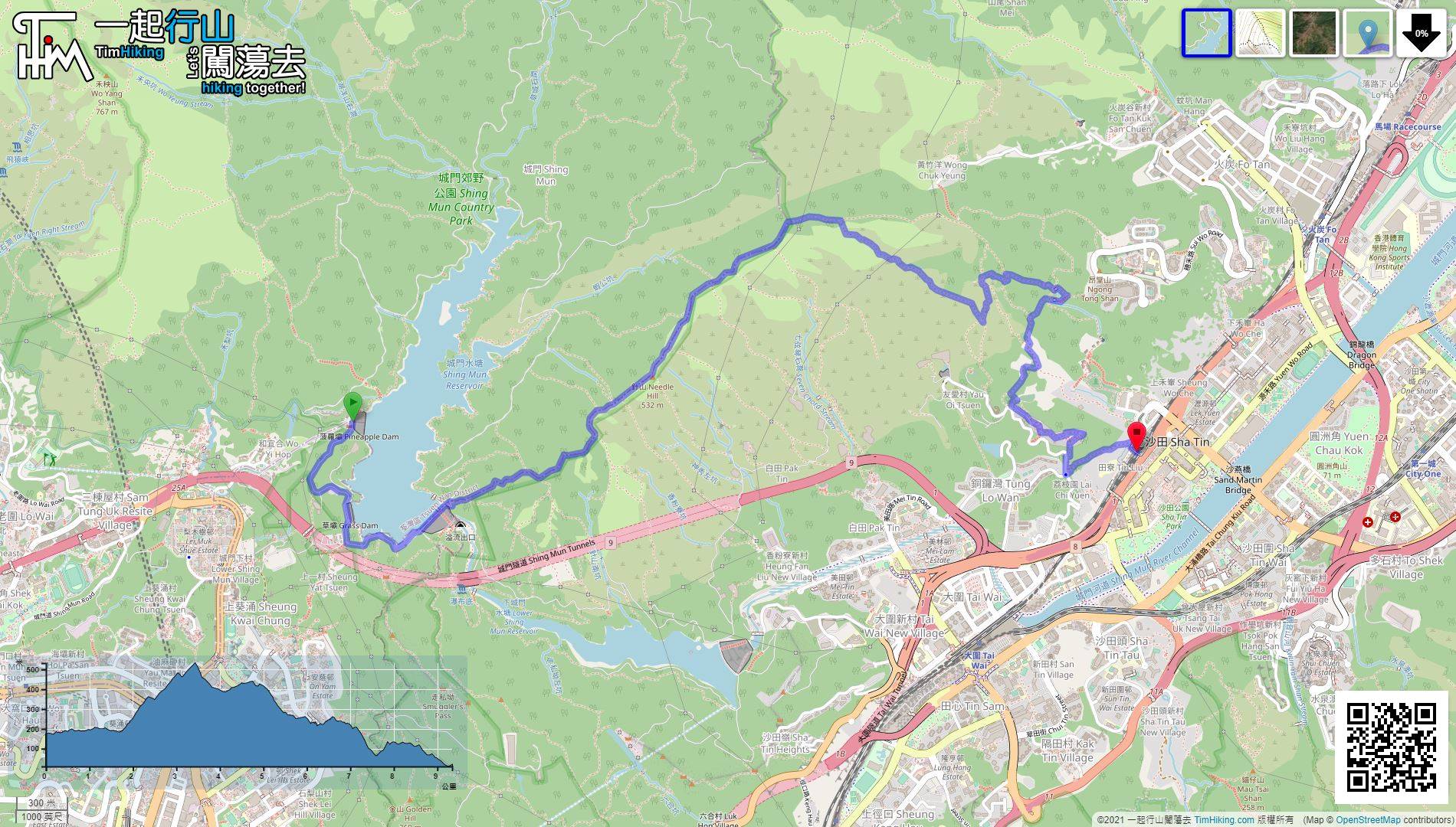
| Length : | 9km | ||
| Time : | 4hours | ||
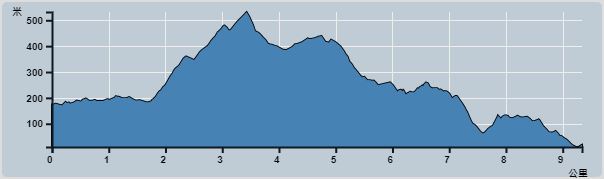 | |
| Ascent : 634m | Descent : 789m |
| Max : 494m | Min : 10m |
| (The accuracy of elevation is +/-30m) | |


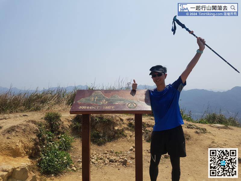
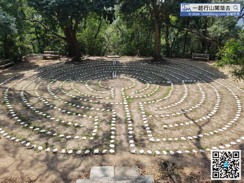
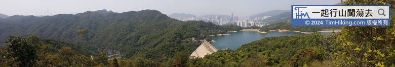
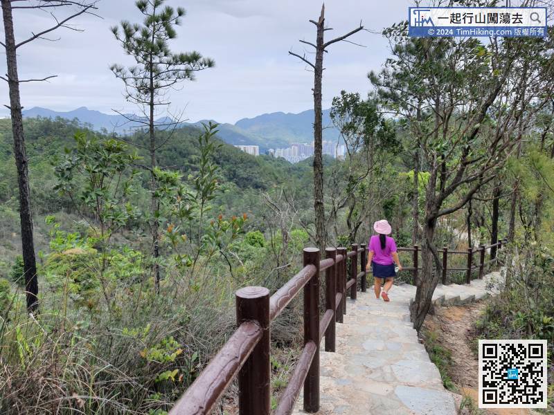
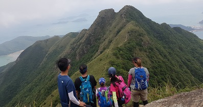
 9︰The scenery is very good.
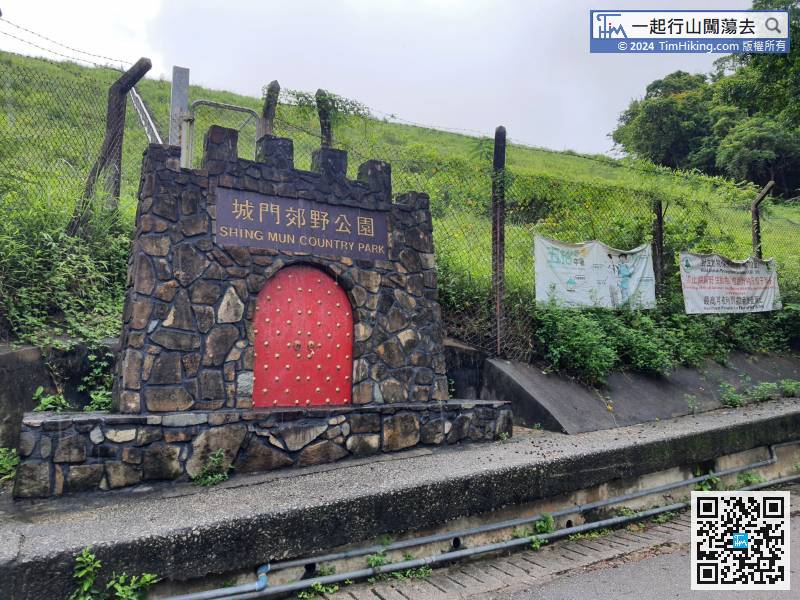
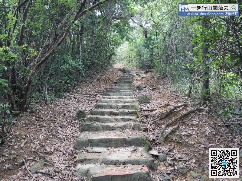
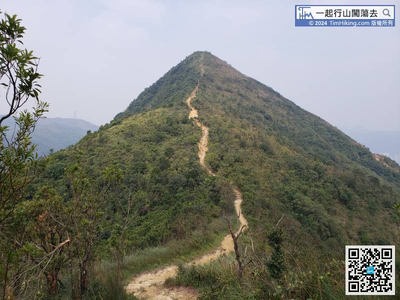
The beginning is a big stone step, which also opened the prelude to Needle Hill.
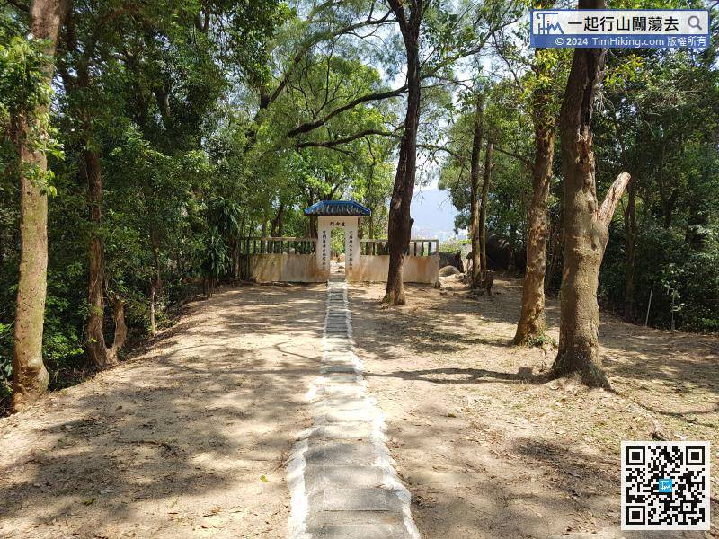
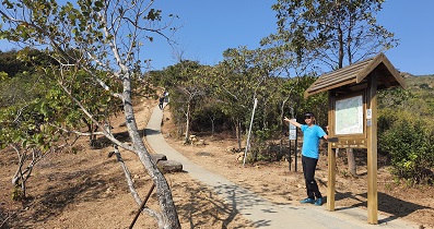
 32︰Hikers will see an archway on the right-hand side, which reads 'To Sha Tin Town'.
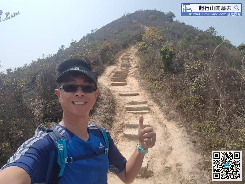
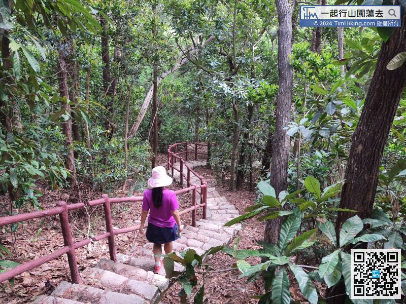
After a short break, go down the mountain from the other end. The road down the mountain are all steps, and there is no flat trail at all.
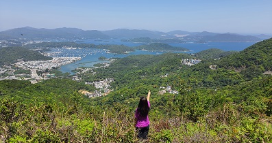
39︰the steps are very beautiful, and it was a muddy road many years ago.
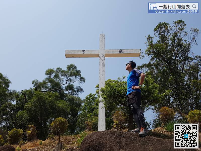
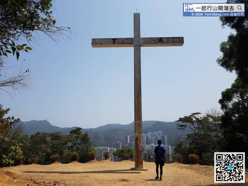
Look out for the sign and continue to the cross, before the Gate of Life, followed by a long, narrow rung.
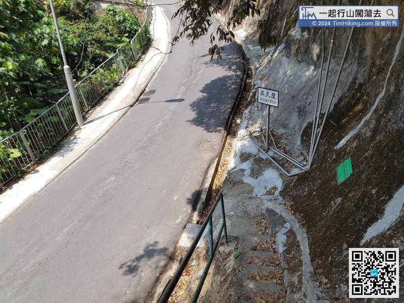
A few years ago, there was a shortcut to the right of the cross to leave,


