


 Recommend YouTube


| View : |  | ||
| Difficulty : |  | ||
| Path : | |||
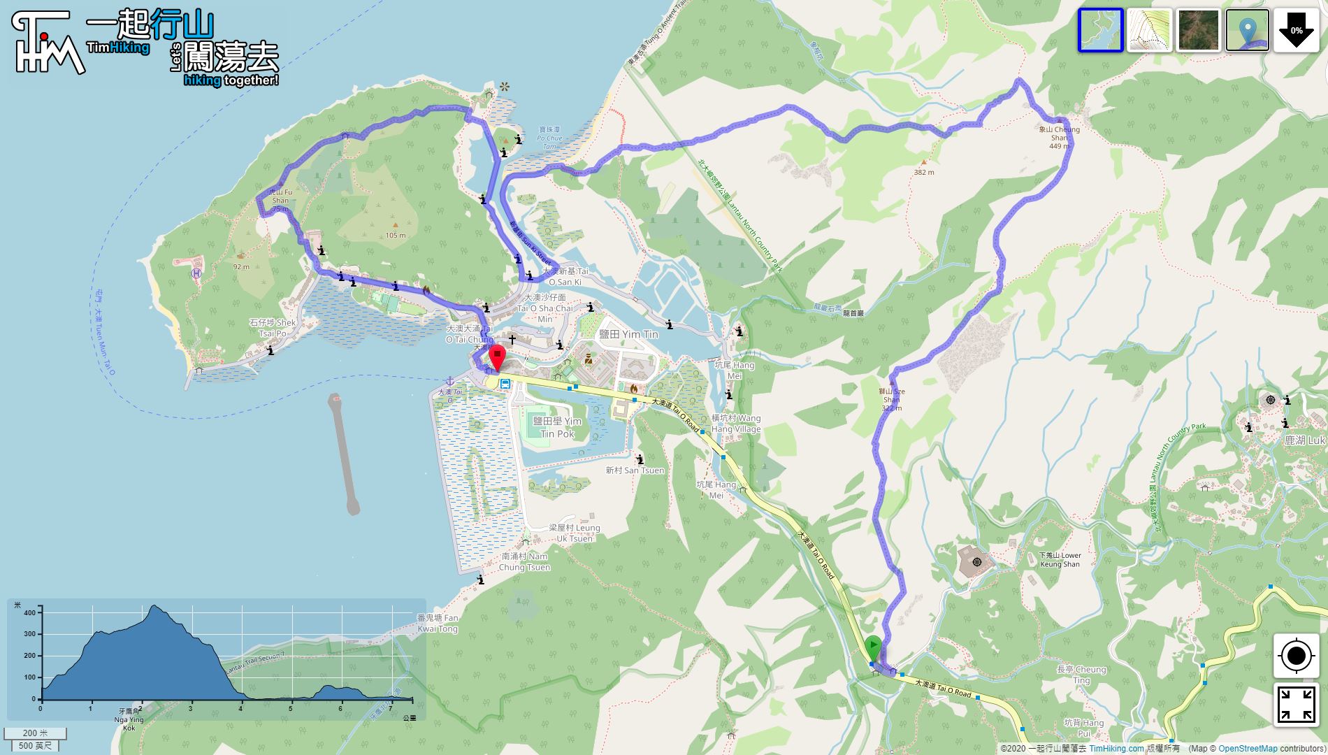
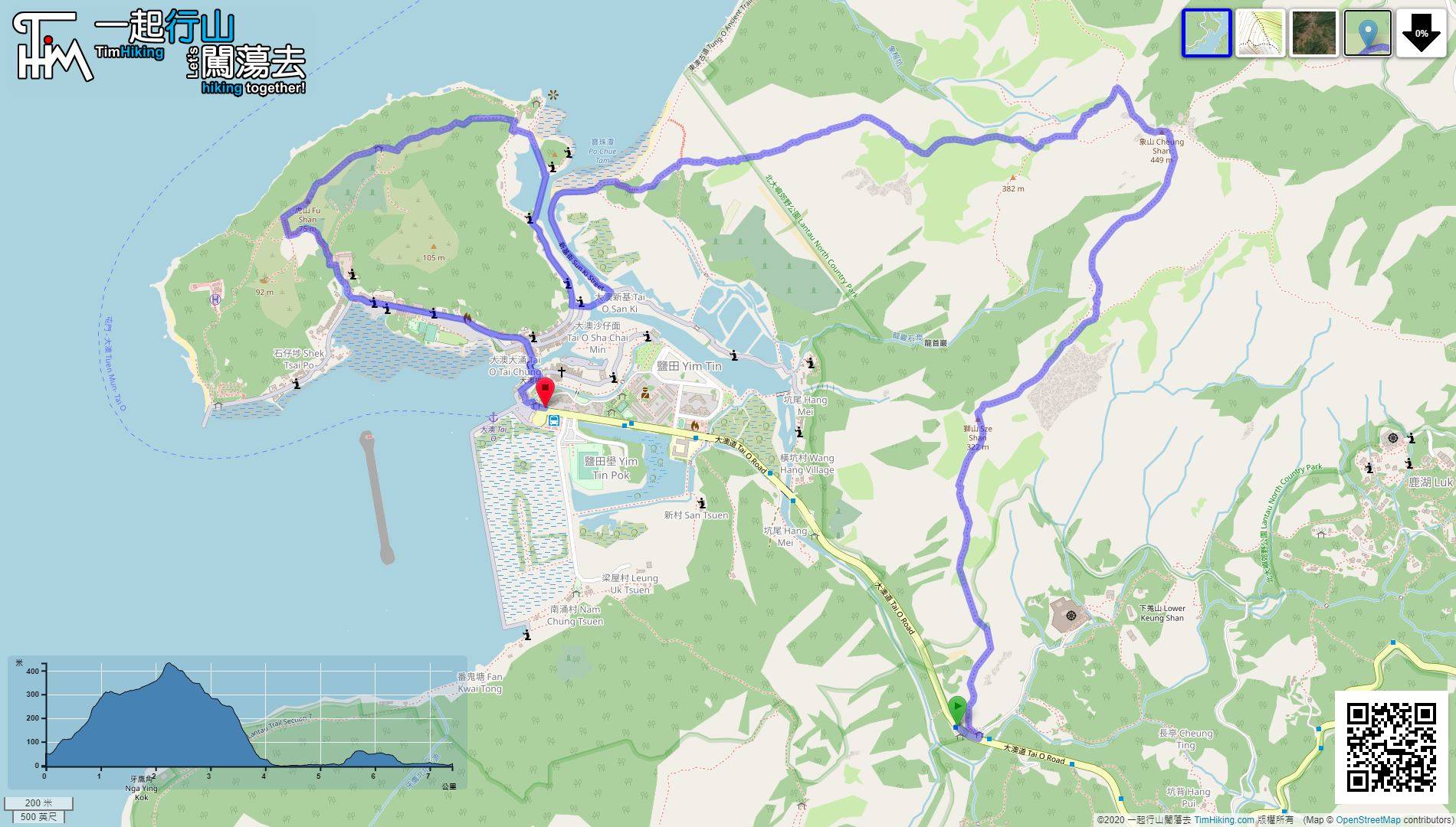
| Length : | 7.5km | ||
| Time : | 5½hours | ||
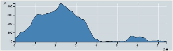 | |
| Ascent : 532m | Descent : 568m |
| Max : 432m | Min : 0m |
| (The accuracy of elevation is +/-30m) | |


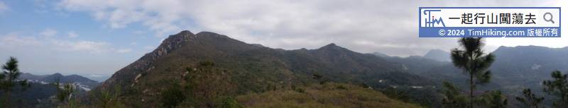

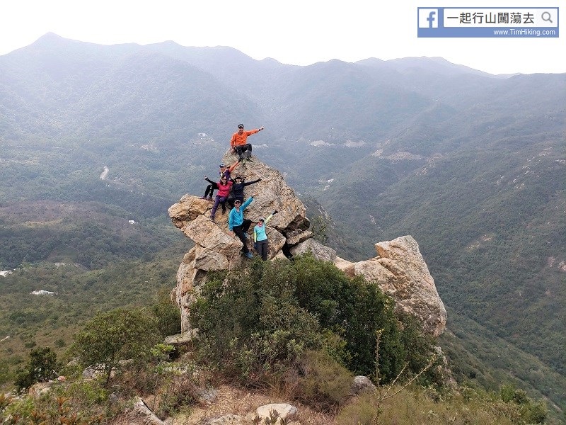


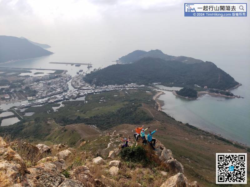
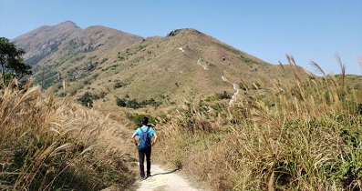
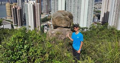
It is only 1.5km from Sze Shan to Middle Hill, and it will be there soon.
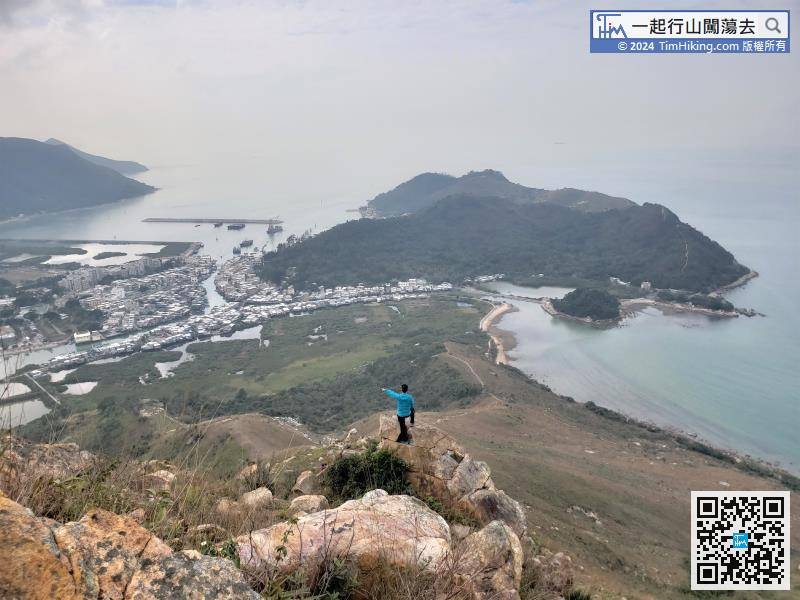
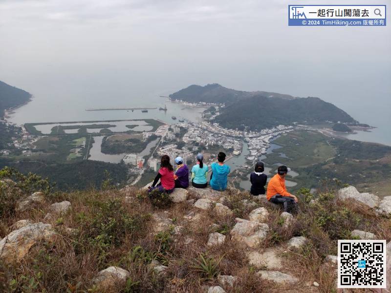
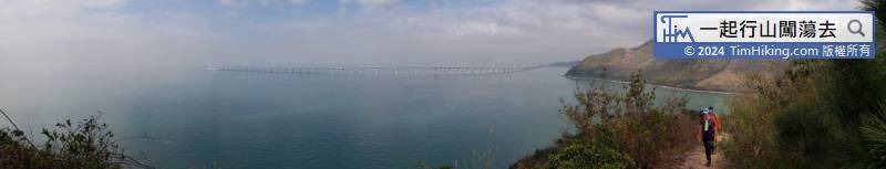
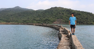
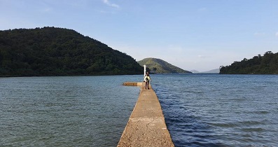
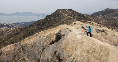
At the end of the trip, will see the most beautiful panoramic view of Tai O,


