


 Recommend YouTube

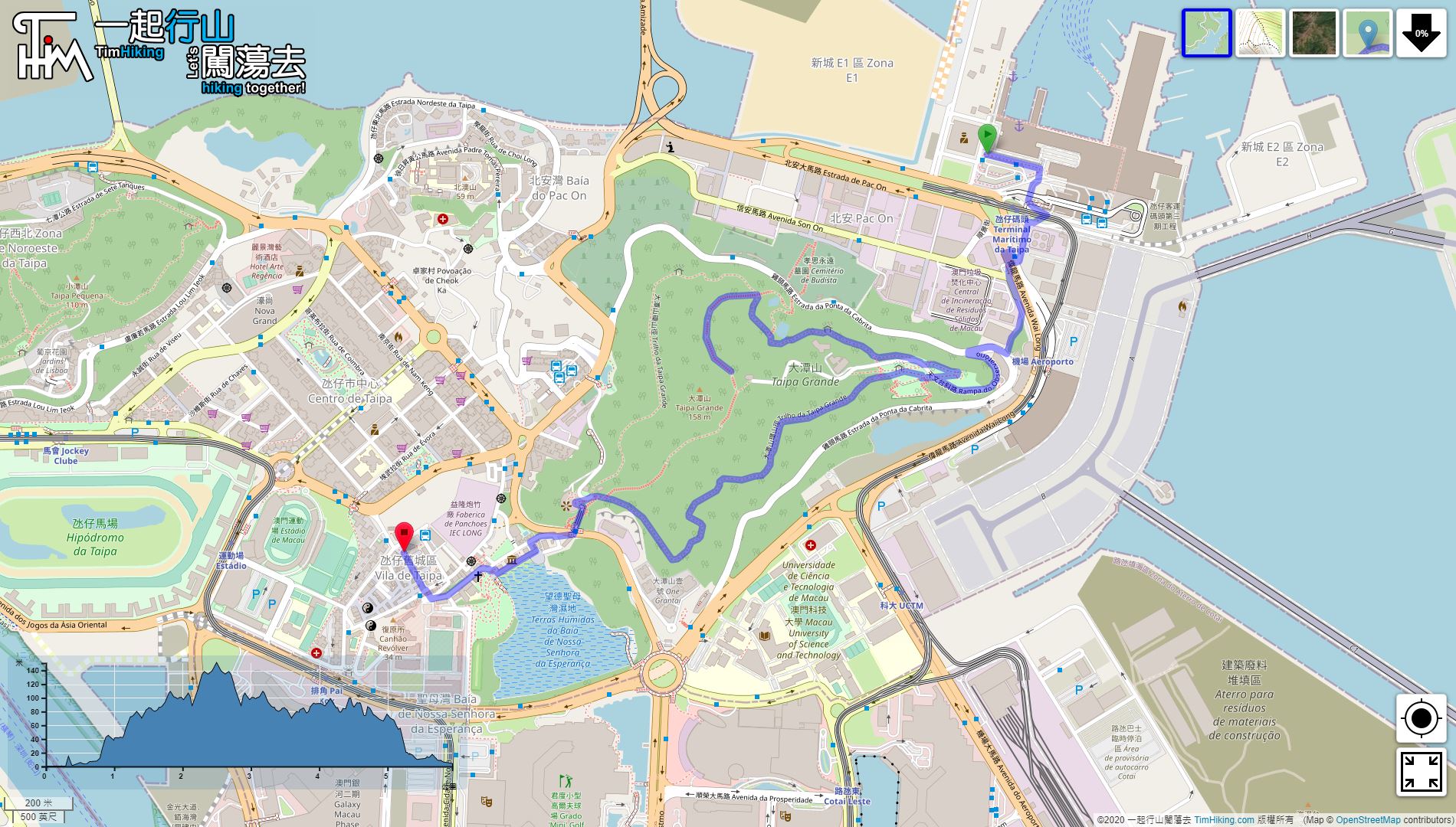


| View : |  | ||
| Difficulty : |  | ||
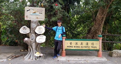
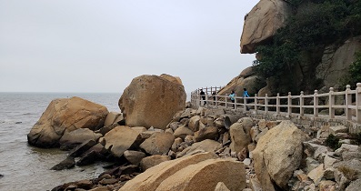
| Path : | |||
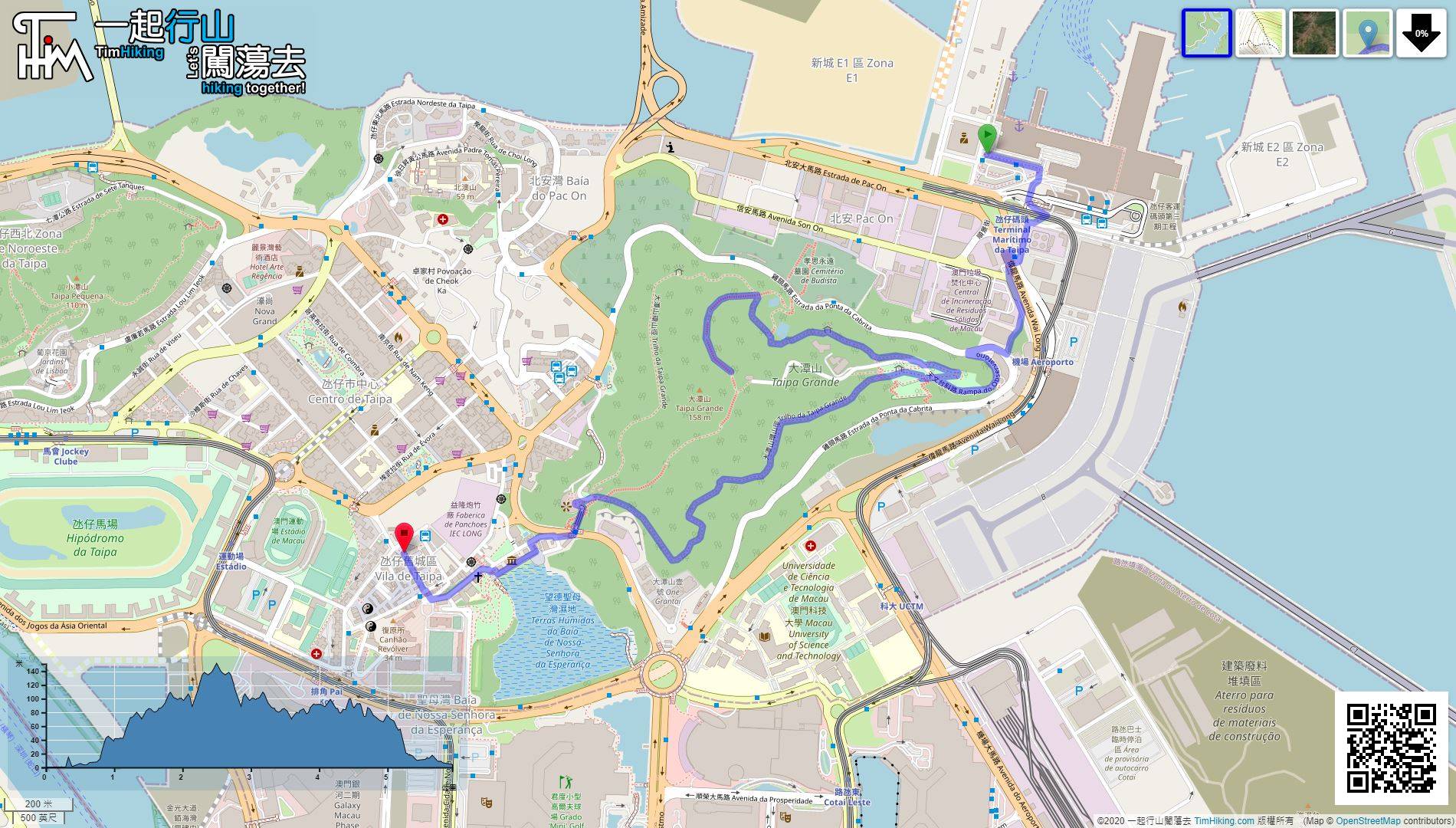
| Length : | 6km | ||
| Time : | 2½hours | ||
 | |
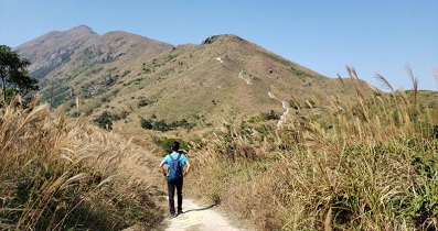
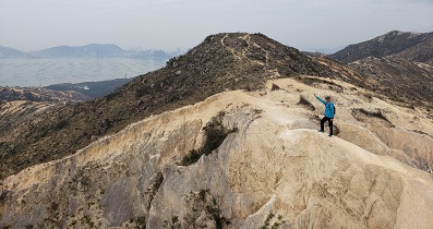
| Ascent : 374m | Descent : 366m |
| Max : 151m | Min : 0m |
| (The accuracy of elevation is +/-30m) | |


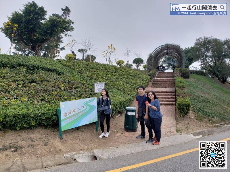
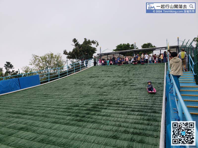
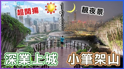
Grass ski field just opened, there are about 50 people line up to play,


| View : | | ||
| Difficulty : | | ||
| Path : | |||
| Length : | 6km | ||
| Time : | 2½hours | ||
| |
| Ascent : 374m | Descent : 366m |
| Max : 151m | Min : 0m |
| (The accuracy of elevation is +/-30m) | |
Thanks a lot! Hope our hiking information is helpful to you. Everyone is happy to go hiking and safely!
Welcome to use Payme AlipayHK to sponsor Tim Sir's efforts! Continue to give selflessly for the mountain world.
Be merciful unto me, O God, be merciful unto me: for my soul trusteth in thee: yea, in the shadow of thy wings will I make my refuge, until these calamities be overpast.
Psalms 57:1

一起爬山闖蕩去 | timhiking | timhiking | timhiking | Message Board | Disclaimer


