


 Recommend YouTube


| View : |  | ||
| Difficulty : |  | ||
| Path : | |||
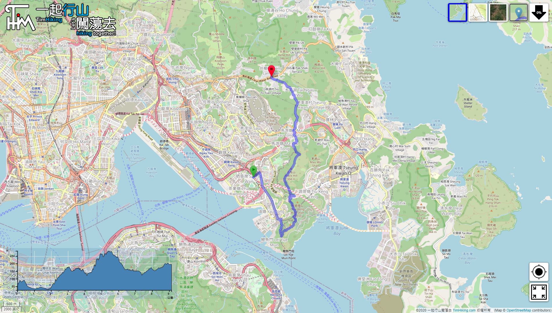
| Length : | 9.2km | ||
| Time : | 4hours | ||
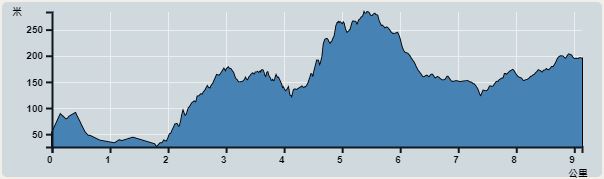 | |
| Ascent : 692m | Descent : 568m |
| Max : 283m | Min : 25m |
| (The accuracy of elevation is +/-30m) | |


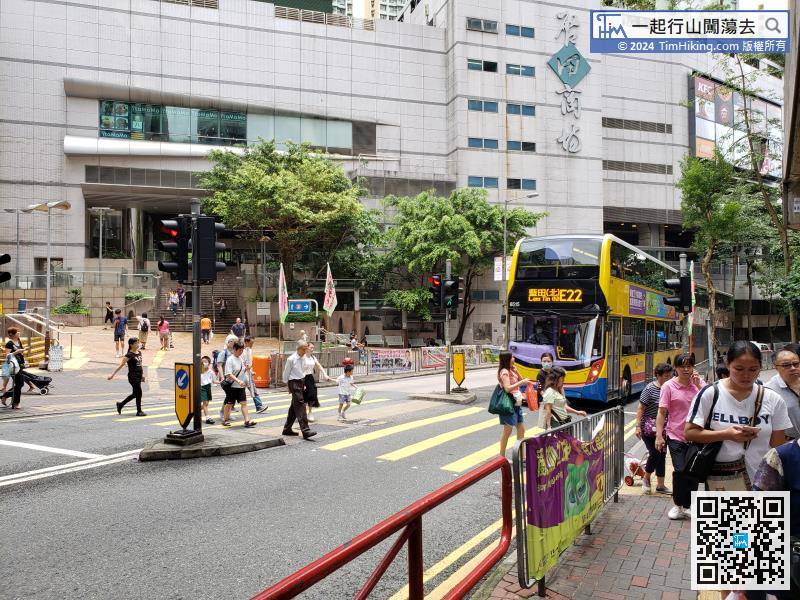
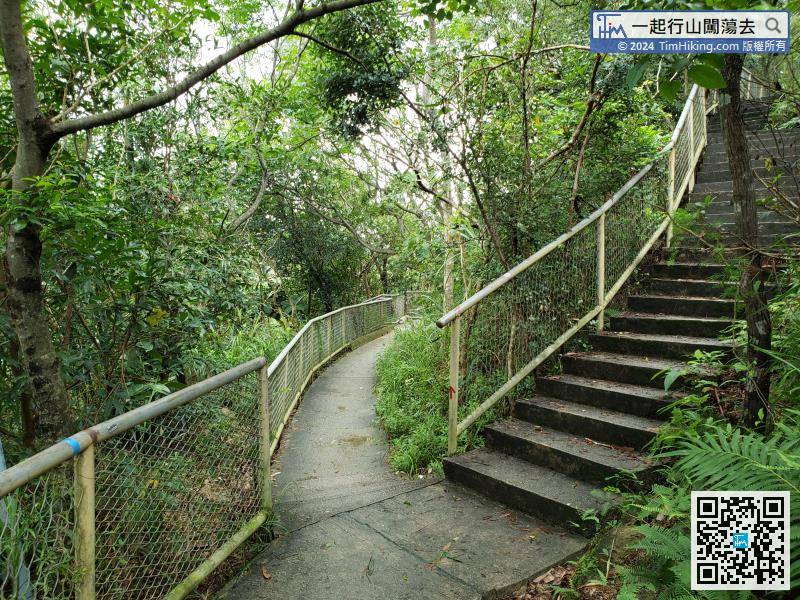
First, leave at Lam Tin Station Exit A, which is in Kai Tin Road,
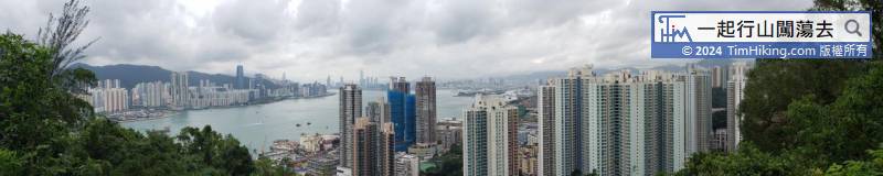
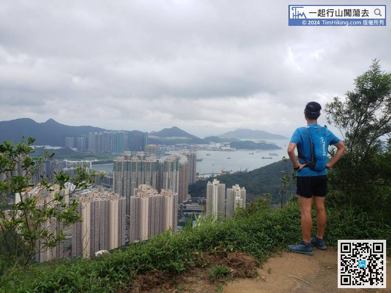
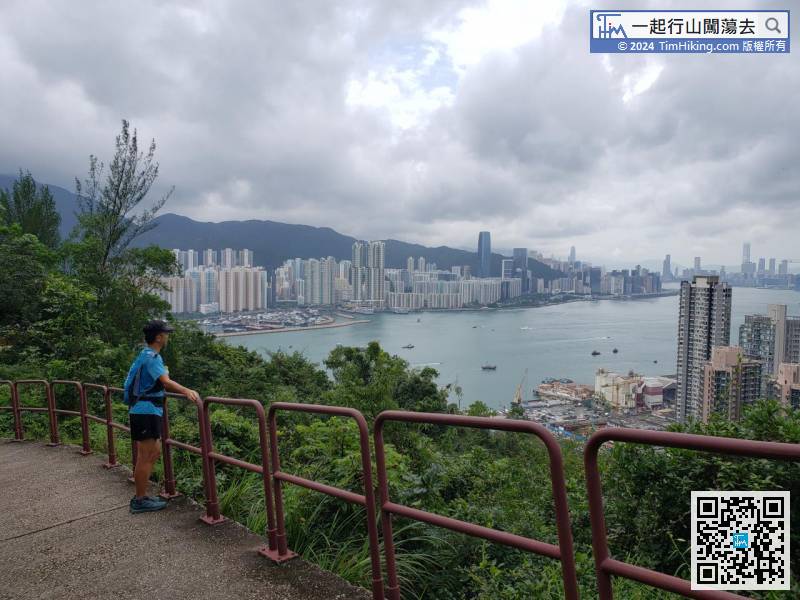
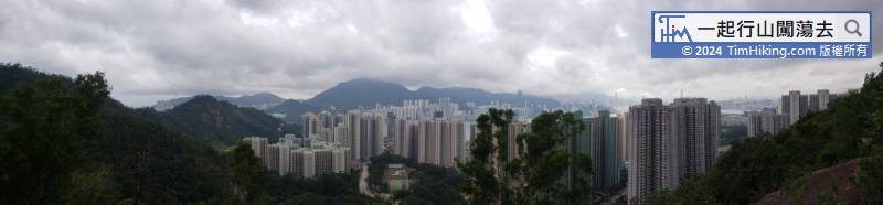
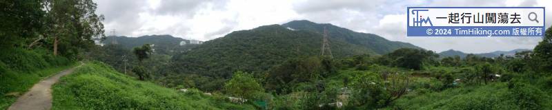
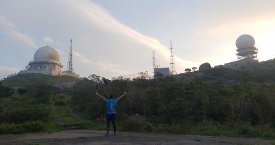
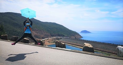
The journey just starts, already can overlook the Victoria Harbour.
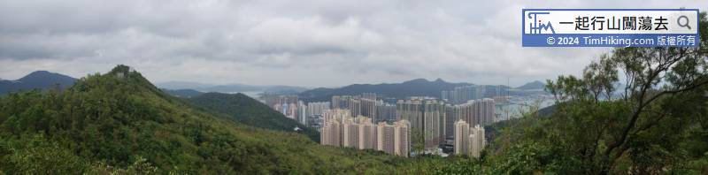
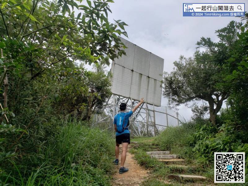
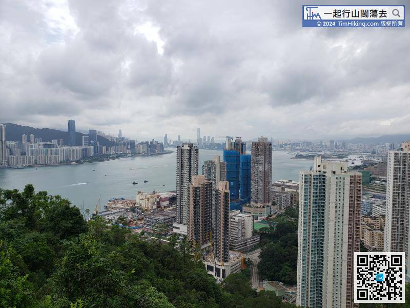
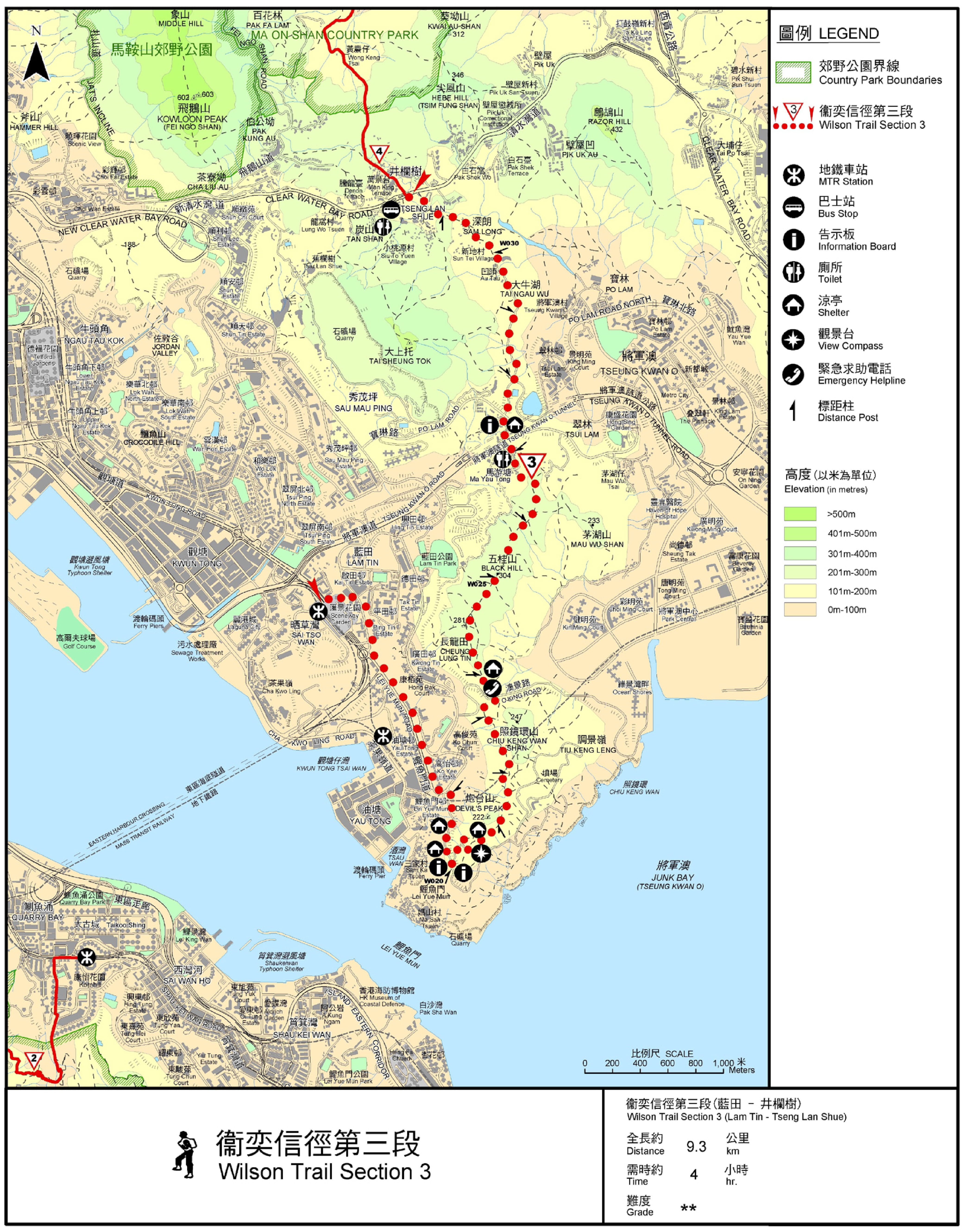
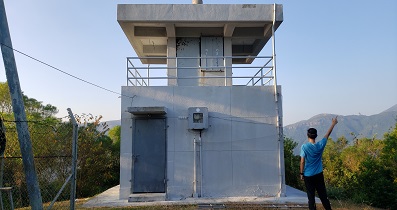
Soon will come to the top of Black Hill's Vice Peak Wai Kap Shek Leng.
Official Map


