


 Recommend YouTube


| View : |  | ||
| Difficulty : |  | ||
| Path : | |||
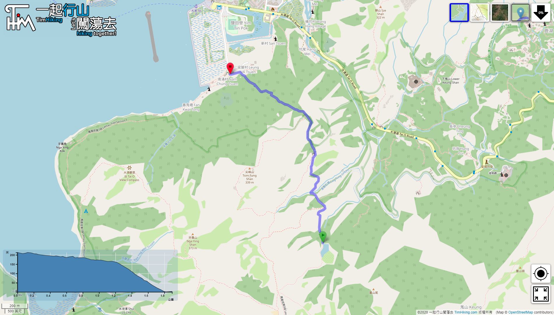
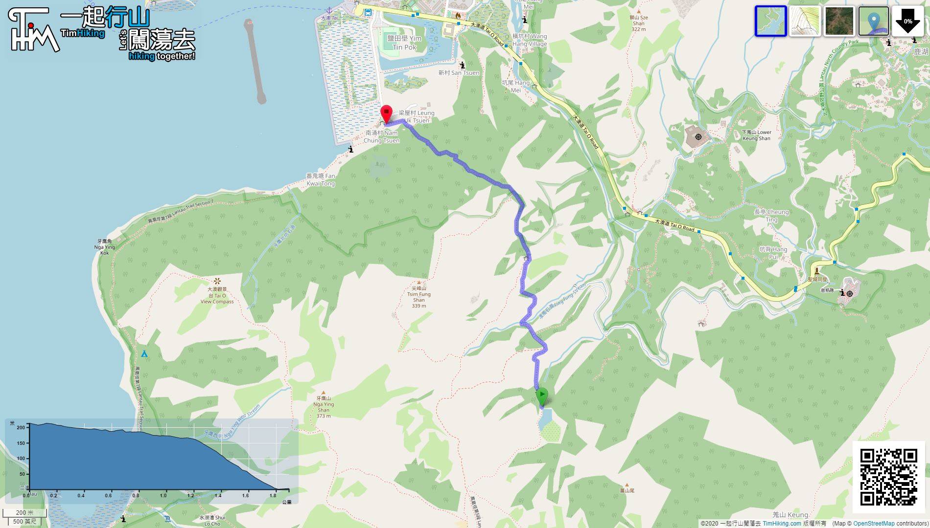
| Length : | 1.9km | ||
| Time : | 1hours | ||
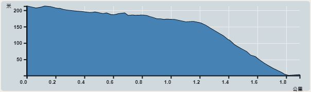 | |
| Ascent : 19m | Descent : 232m |
| Max : 213m | Min : 1m |
| (The accuracy of elevation is +/-30m) | |


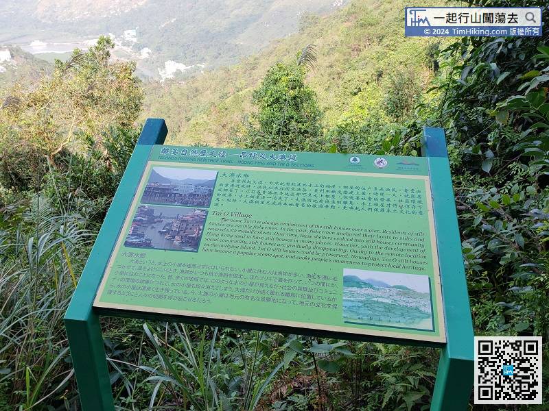
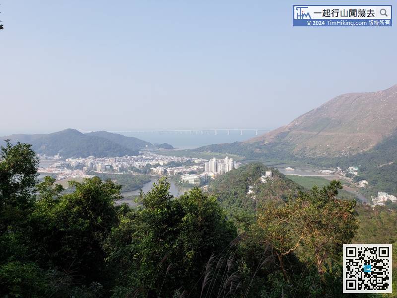
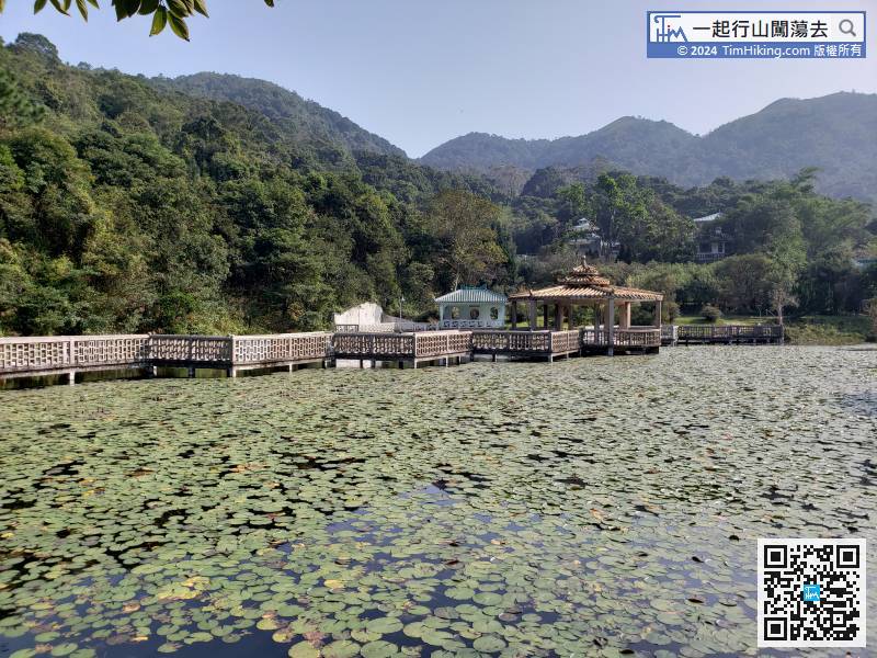
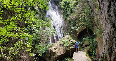
It turns out that this section is also the Islands Nature Heritage Trail (Section Ngong Ping and Tai O).
Official Map


