


 Recommend YouTube


| View : |  | ||
| Difficulty : |  | ||
| Path : | |||
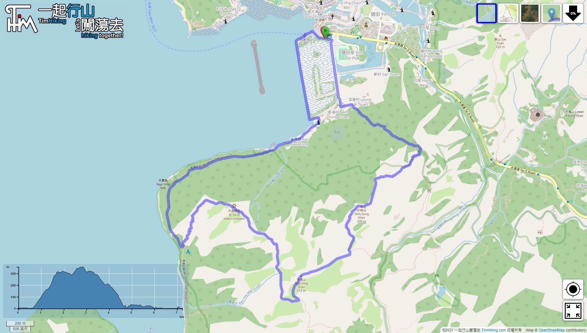
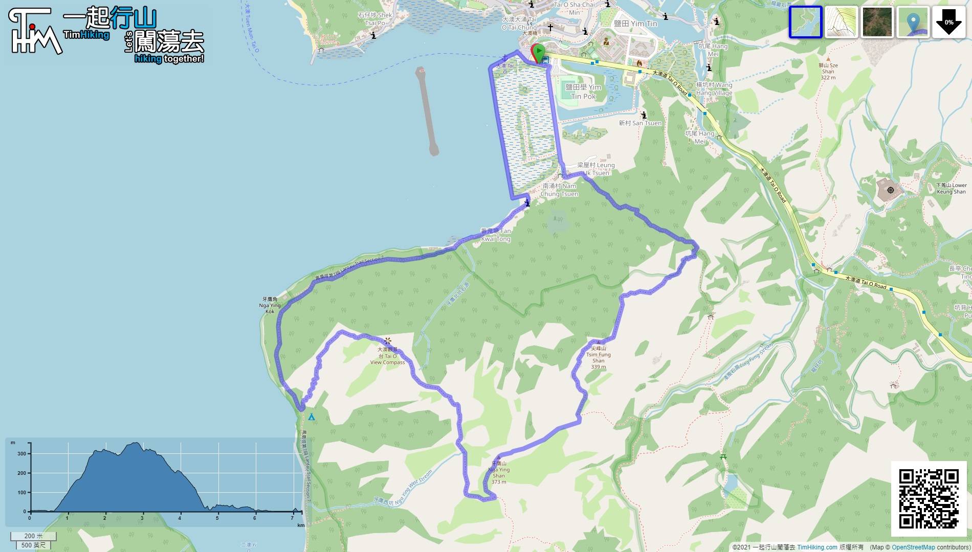
| Length : | 7.3km | ||
| Time : | 2½hours | ||
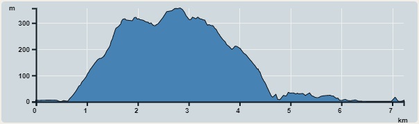 | |
| Ascent : 520m | Descent : 529m |
| Max : 356m | Min : 0m |
| (The accuracy of elevation is +/-30m) | |


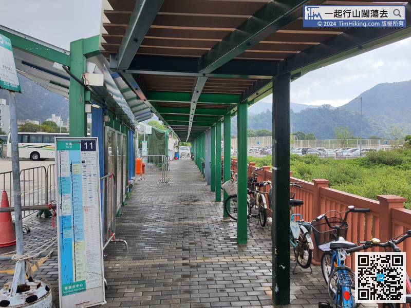
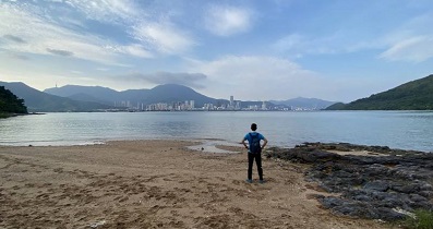
The starting point and the ending point are both Tai O. First, take Lantau Bus 11 at Tung Chung to Tai O, then go back, which is the opposite direction of embankment.
 19︰Just a few meters ahead on the right, can find a barren trail,
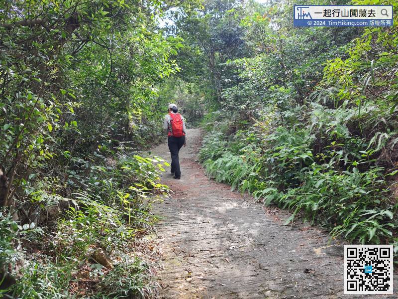 30︰The trail of climbing is as clear as expected,
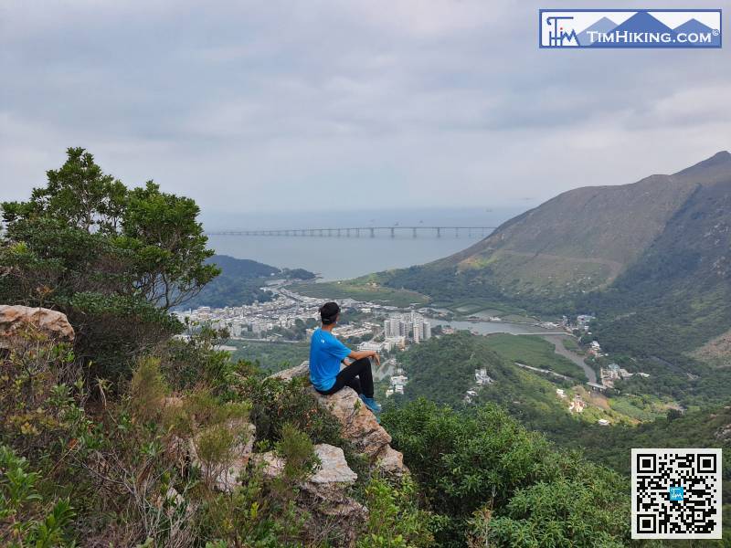
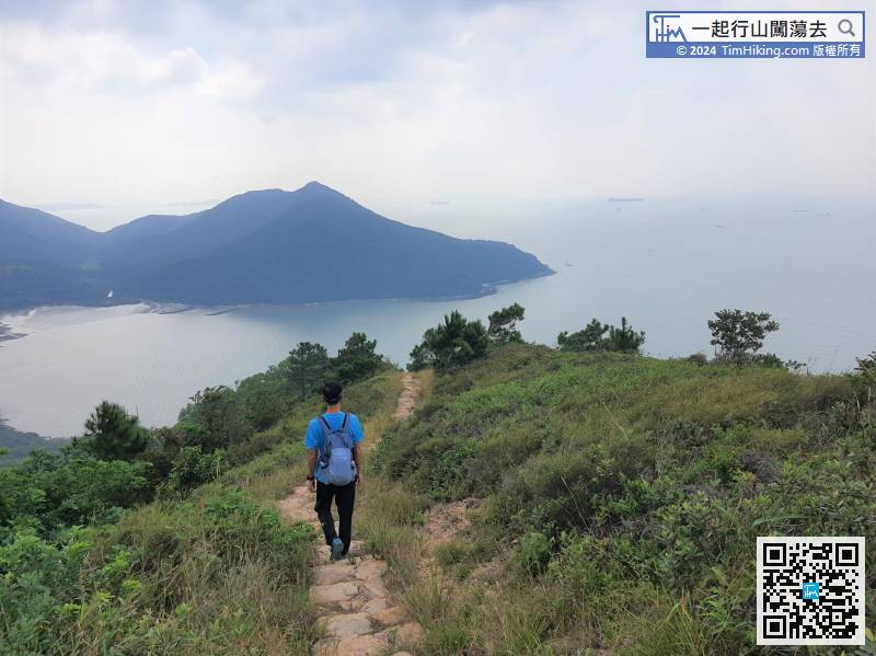
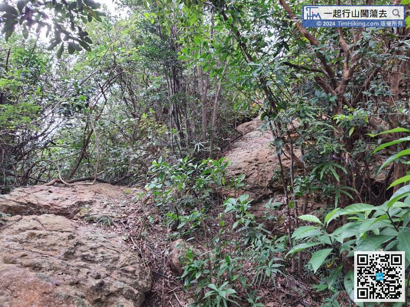 40︰but can also overlook Tai O, and view the whole Fu Shan.
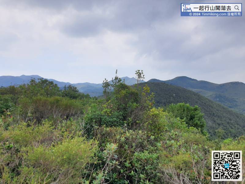 47︰there is a bifurcated road. Hikers can find a barren trail ahead,
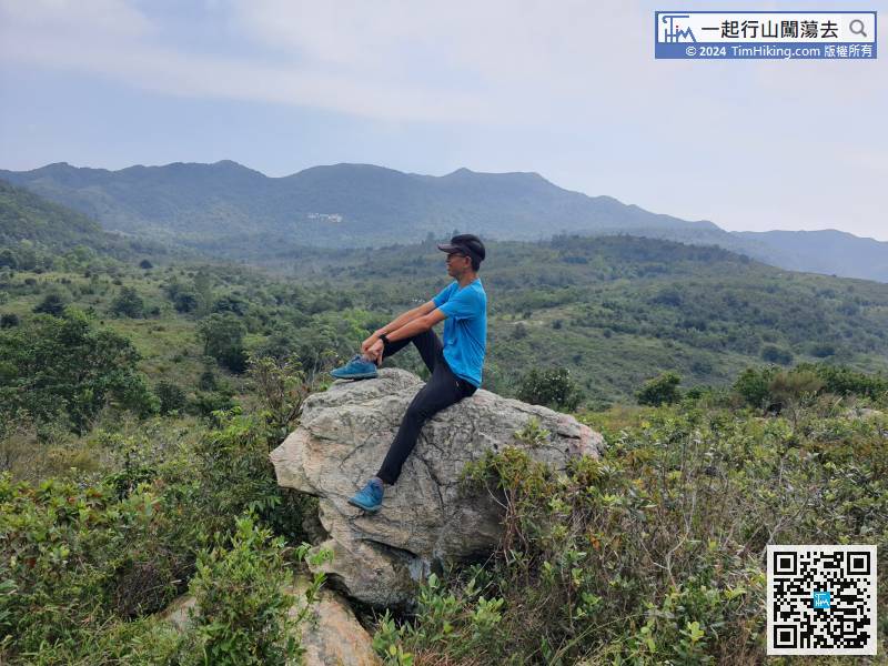
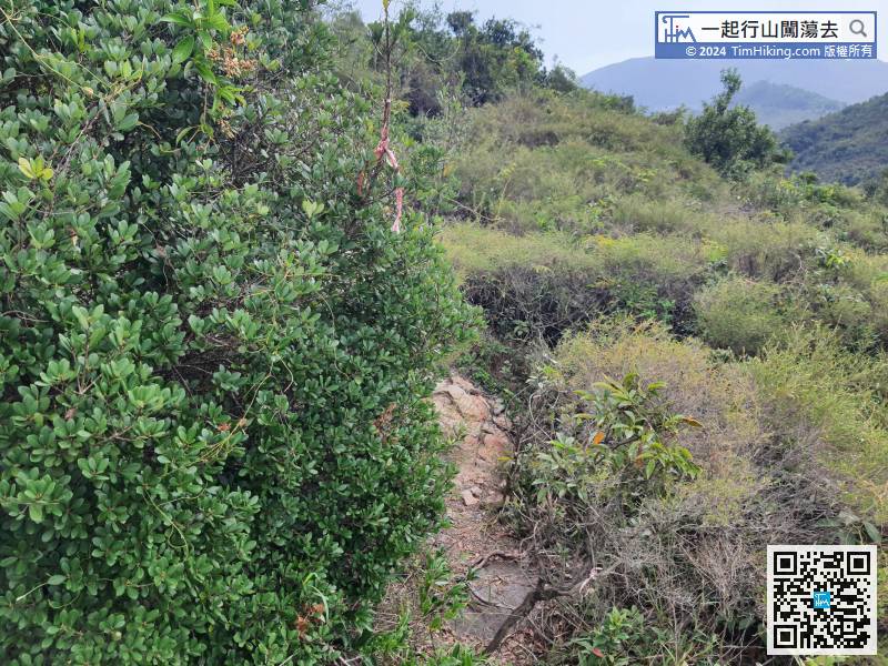 56︰Nga Ying Shan is flatter than Tsim Fung Shan with good open scenery. It looks like a small grassland, too.
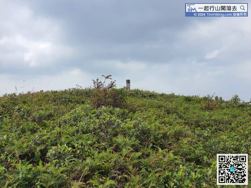
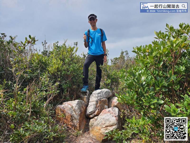
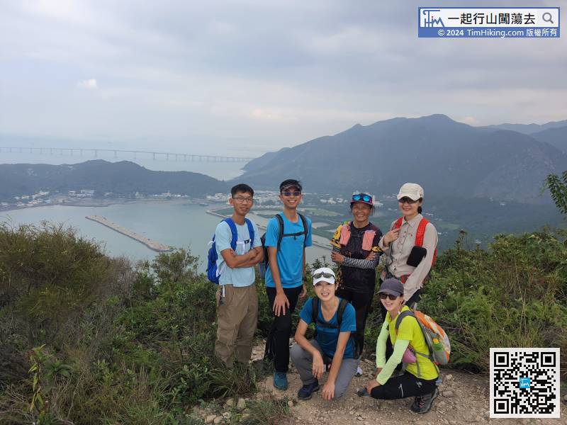
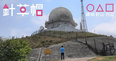
A few moments later, see the trigonometrical station of Nga Ying Shan.
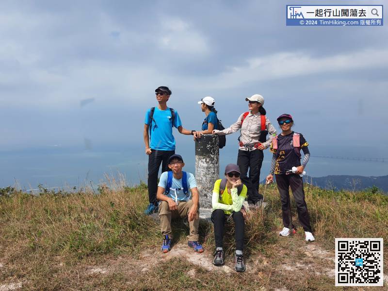
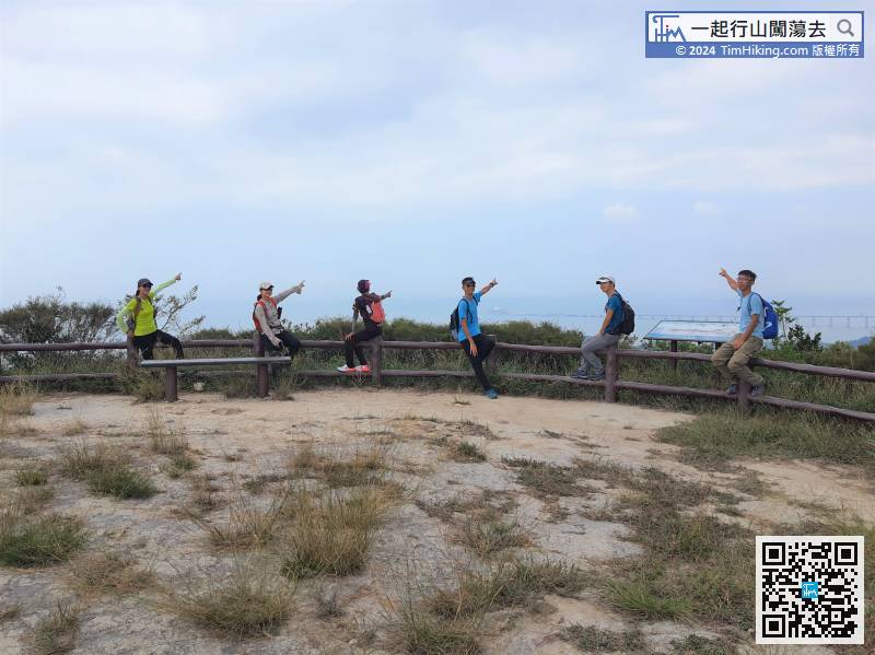
70︰Time is free, just take a long break before going down the mountain.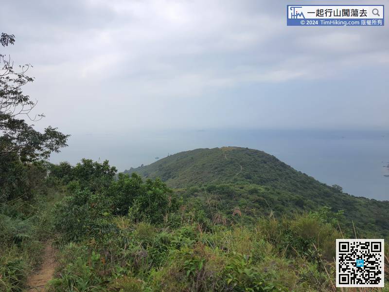


