


 Recommend YouTube


| View : |  | ||
| Difficulty : |  | ||
| Path : | |||
| Length : | 4.1km | ||
| Time : | 1¼hours | ||
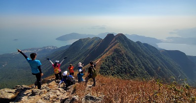
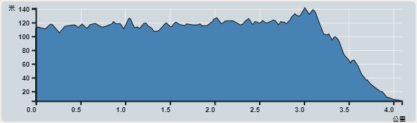 | |
| Ascent : 175m | Descent : 289m |
| Max : 141m | Min : 6m |
| (The accuracy of elevation is +/-30m) | |


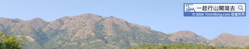

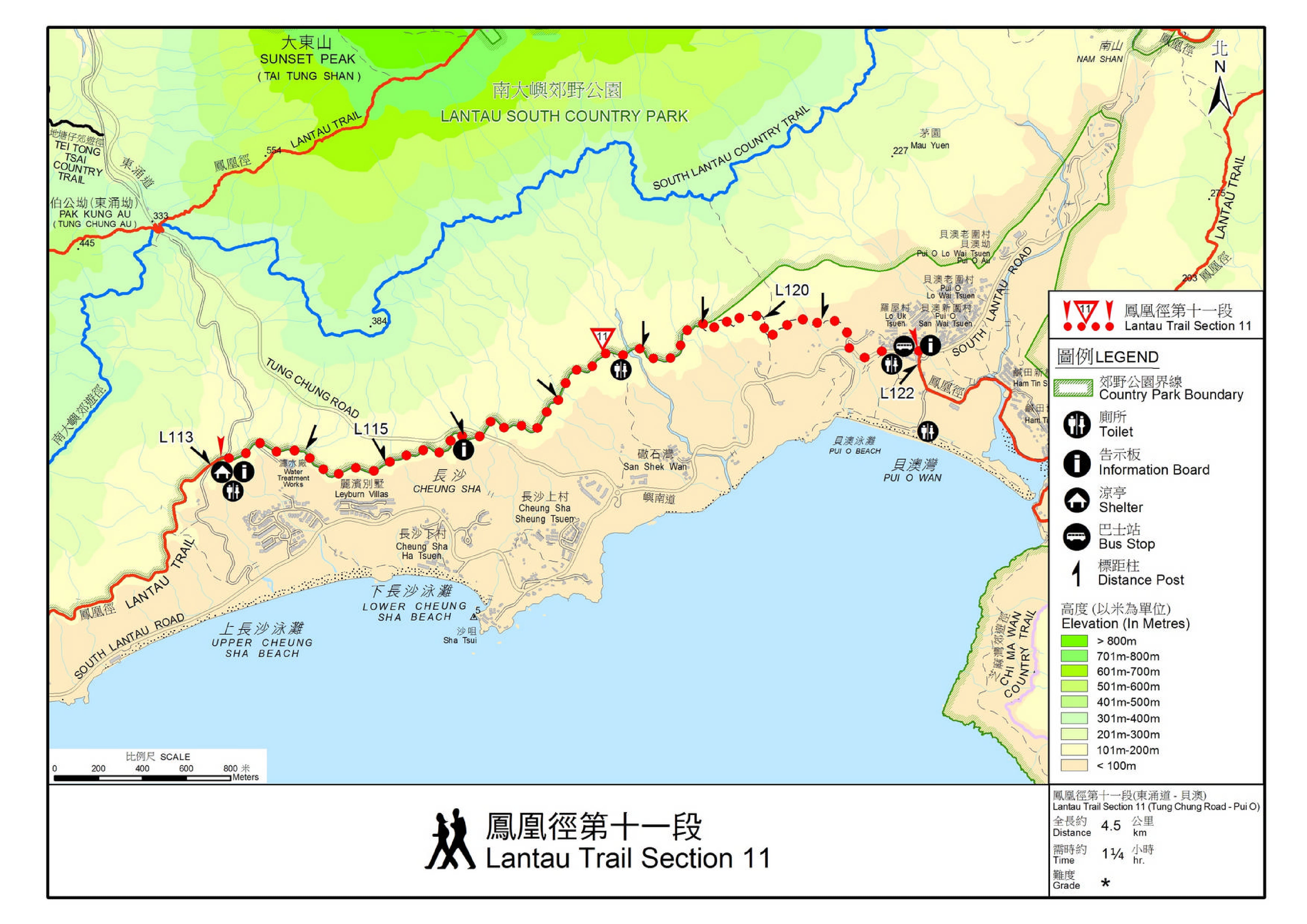
Official Map


| View : | | ||
| Difficulty : | | ||
| Path : | |||
| Length : | 4.1km | ||
| Time : | 1¼hours | ||
| |
| Ascent : 175m | Descent : 289m |
| Max : 141m | Min : 6m |
| (The accuracy of elevation is +/-30m) | |
| Markk : | Tim sir, 會否試試在L120牌轉左上南嶼郊遊徑甚至青龍脊看看? (2022-04-19) |
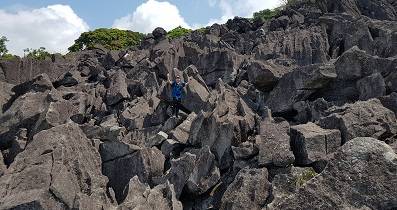
青龍脊由底上冇甚麼特別,只是要留意,青龍脊都有一定斜度。 (Tim Sir 2022-04-19) |
Thanks a lot! Hope our hiking information is helpful to you. Everyone is happy to go hiking and safely!
Welcome to use Payme AlipayHK to sponsor Tim Sir's efforts! Continue to give selflessly for the mountain world.
And all things, whatsoever ye shall ask in prayer, believing, ye shall receive.
Matthew 21:22

一起爬山闖蕩去 | timhiking | timhiking | timhiking | Message Board | Disclaimer


