


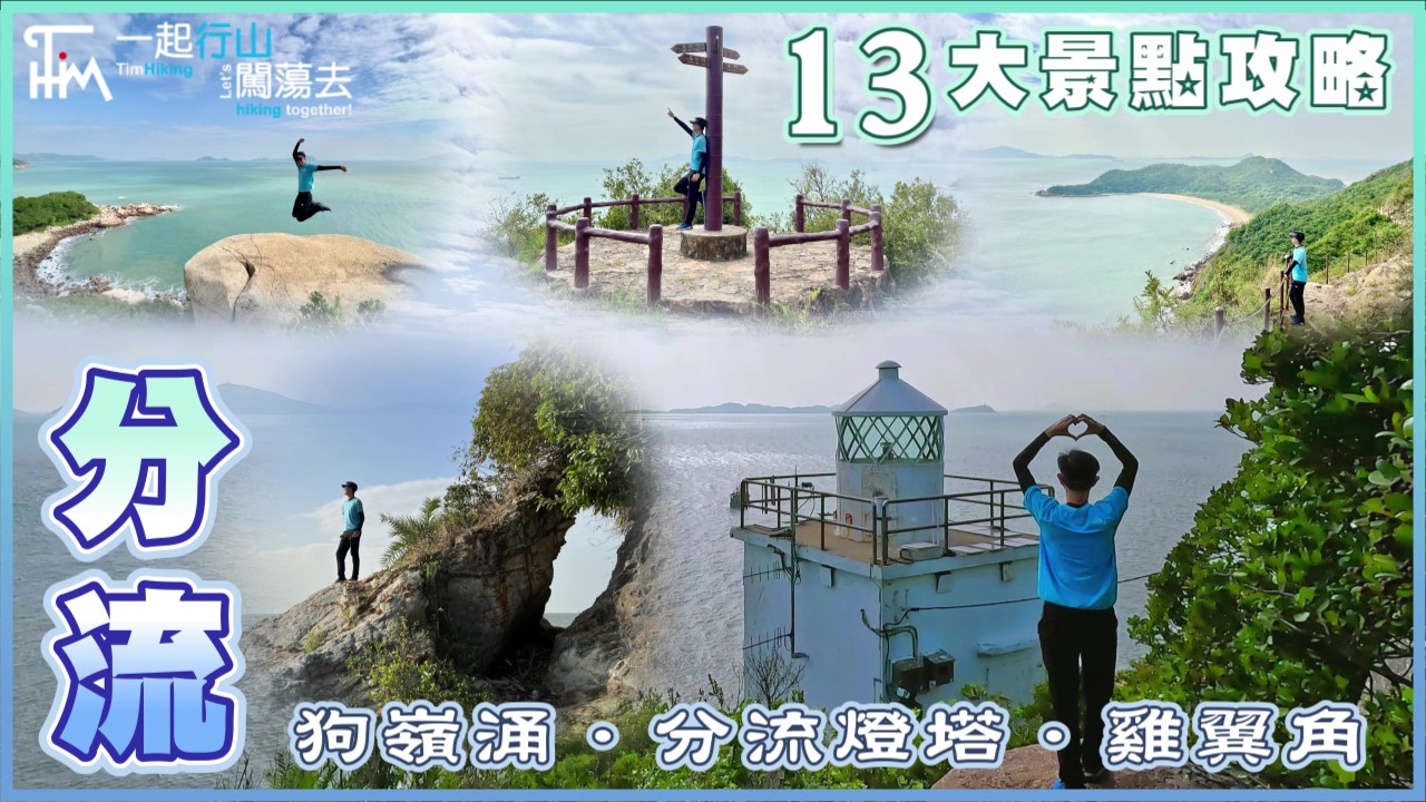
 Recommend YouTube


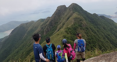
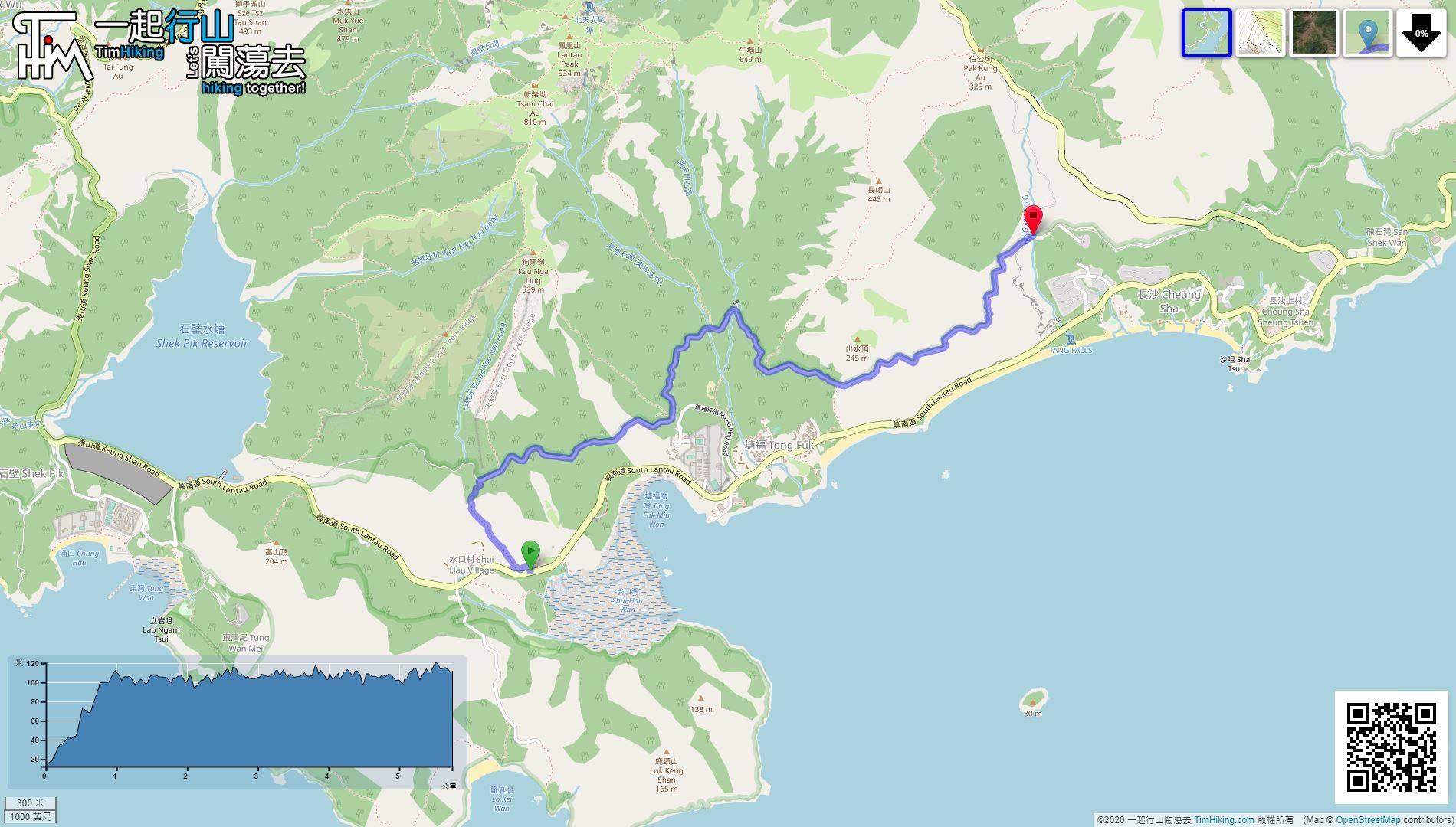
| View : |  | ||
| Difficulty : |  | ||
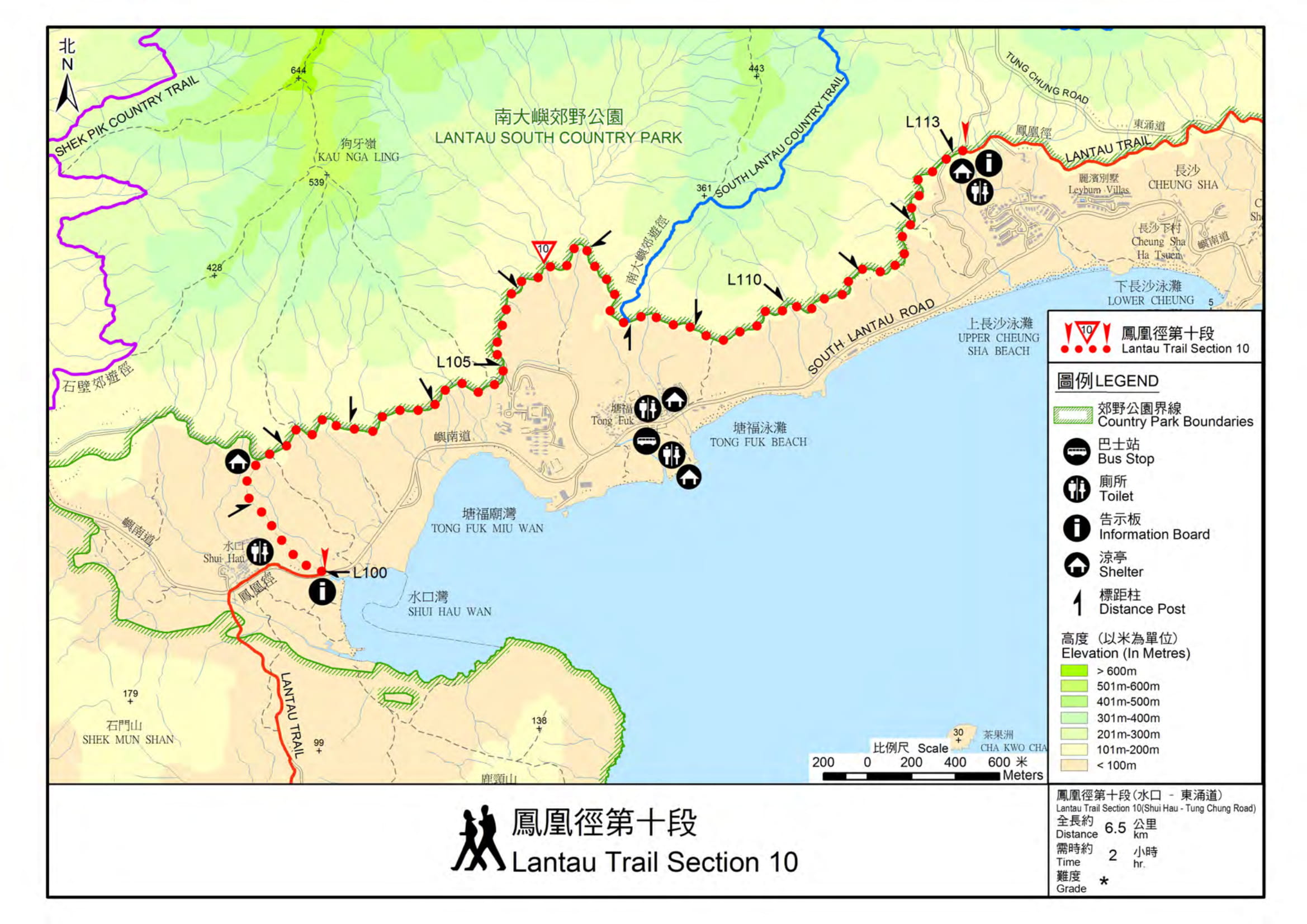
| Path : | |||
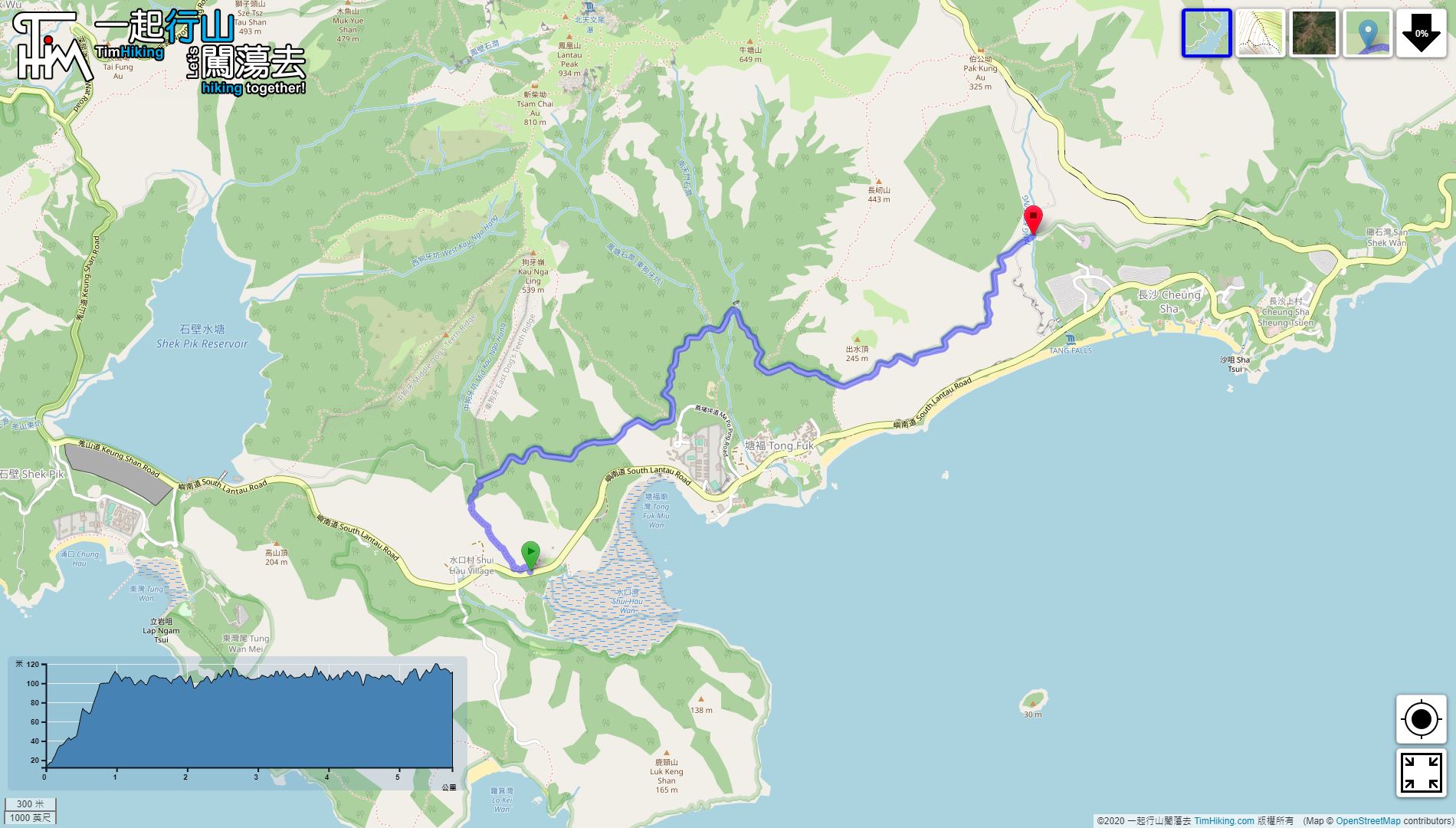
| Length : | 5.8km | ||
| Time : | 2hours | ||
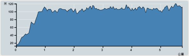 | |
| Ascent : 331m | Descent : 238m |
| Max : 120m | Min : 12m |
| (The accuracy of elevation is +/-30m) | |


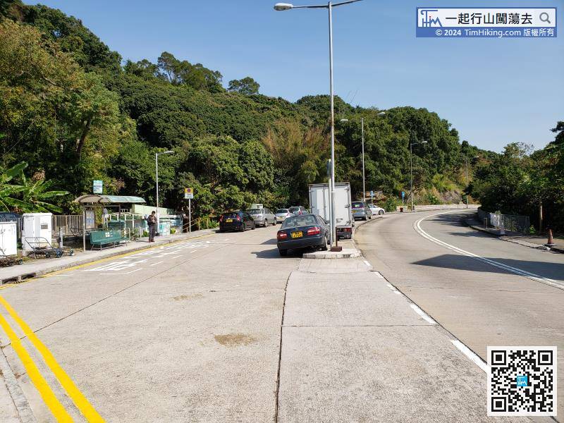
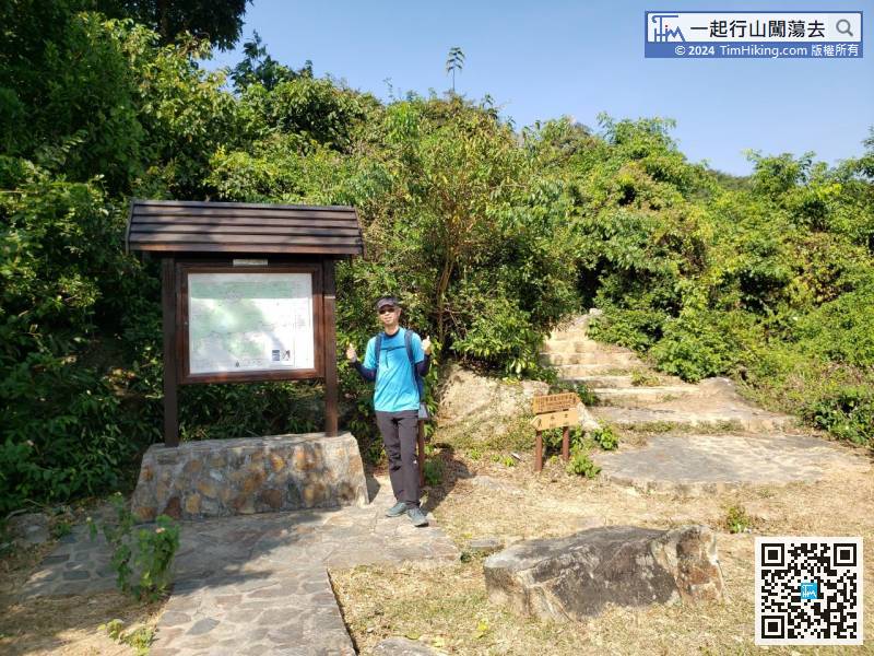
Take Lantau Island Bus 1/2/4/11/11A/23 and get off at Shui Hau Village (East).

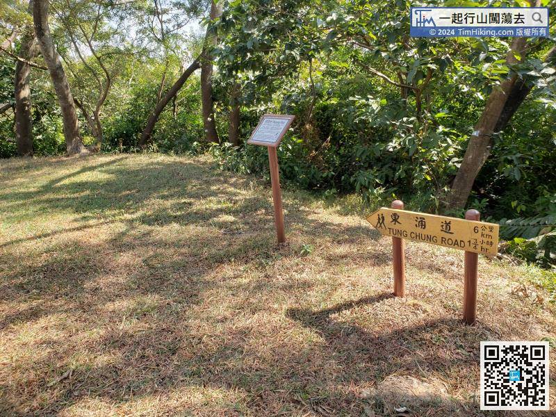
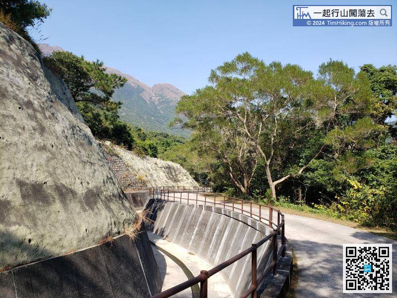
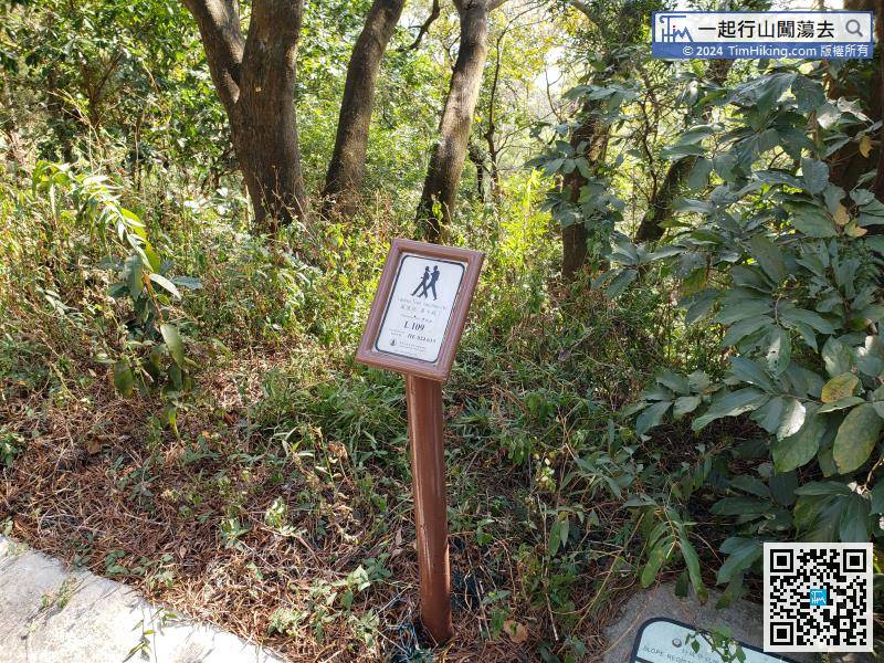
Turn right at catchwater where is a sign point to the direction of Tung Chung.
Official Map


