


 Recommend YouTube


| View : |  | ||
| Difficulty : |  | ||
| Path : | |||
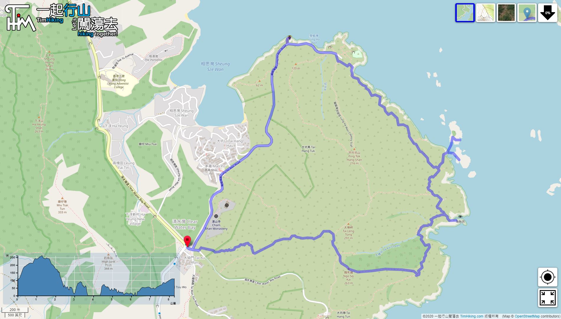
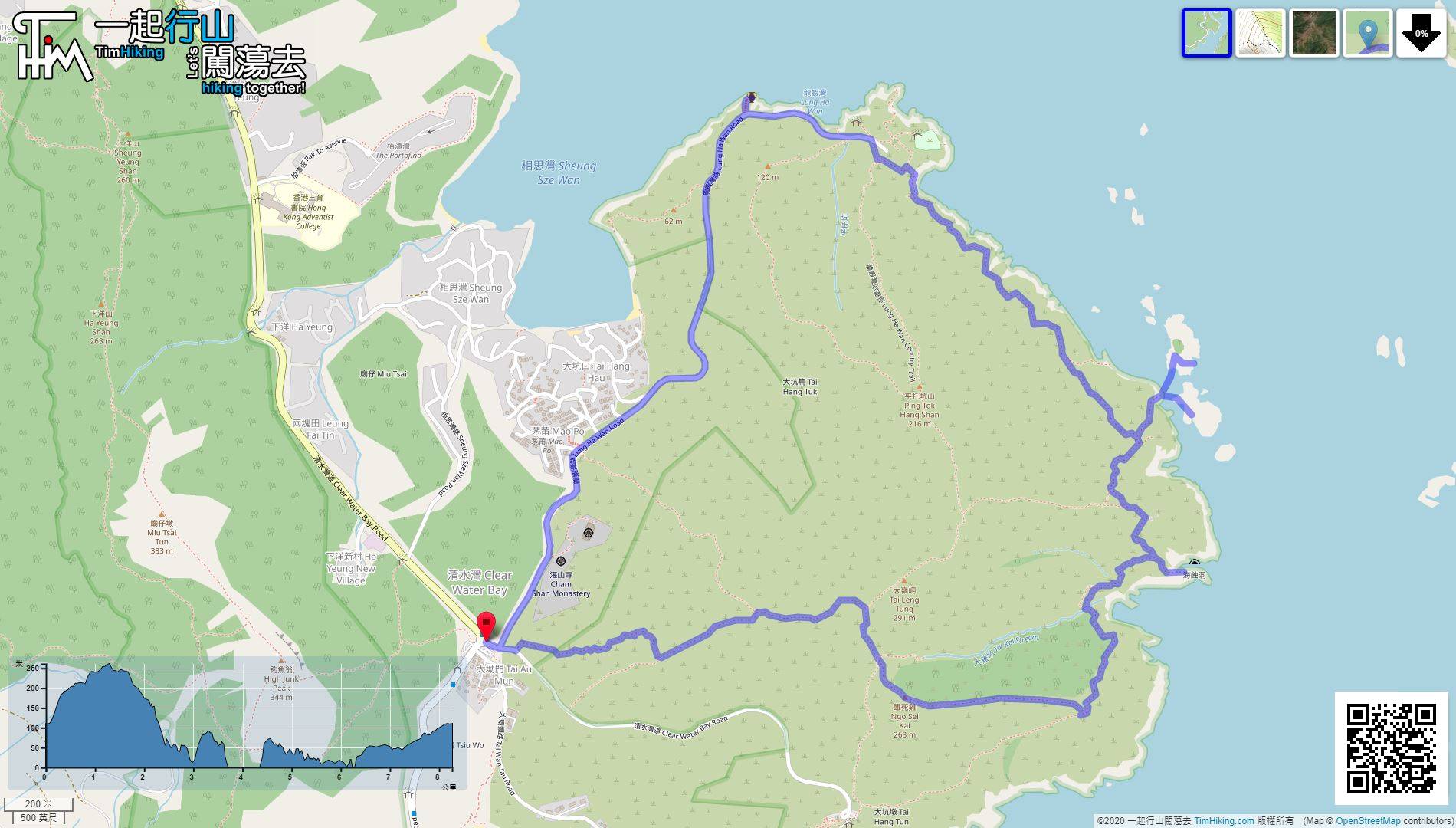
| Length : | 8.3km | ||
| Time : | 7hours | ||
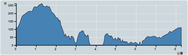 | |
| Ascent : 484m | Descent : 491m |
| Max : 261m | Min : 0m |
| (The accuracy of elevation is +/-30m) | |


 3︰Just 50 meters after the roundabout, there is a barren trail going up the mountain on the left, which is the West Ridge of Tai Leng Tung.
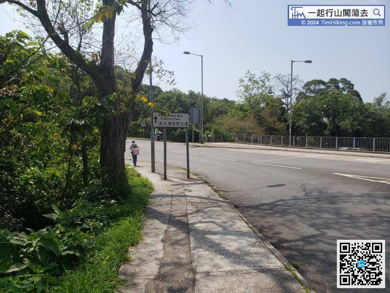
First, take a minibus or bus to Tai Au Mun intersection,
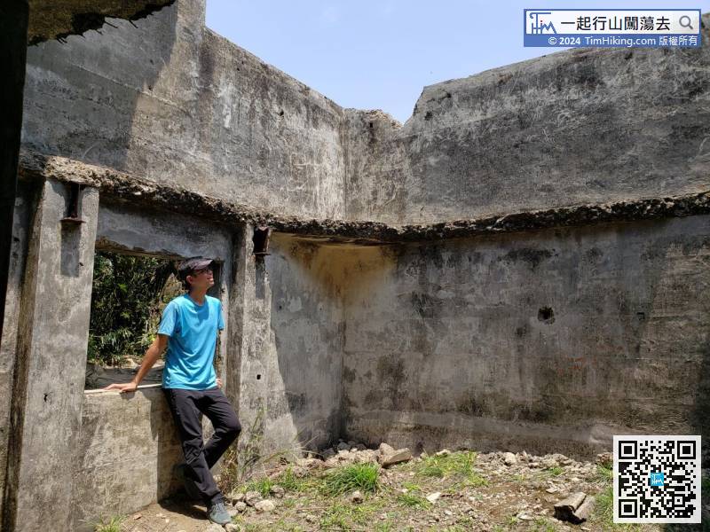
23︰A few steps later, will see the second small fork, turn left at this fork.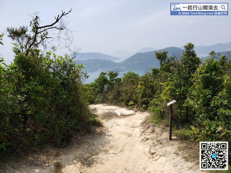 37︰The Coast Defence Ranging Station has two floors, just saw the top floor from the mountain,
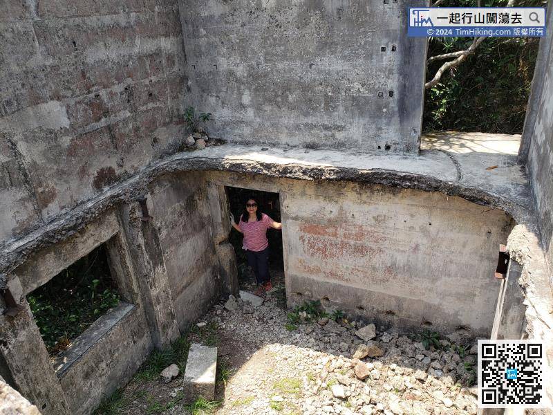
The Coast Defence Ranging Station has two floors, just saw the top floor from the mountain,
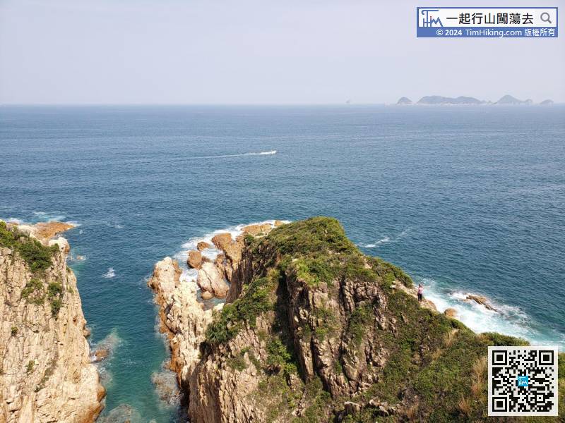
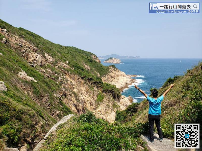
61︰Look at Blade Ridge and go out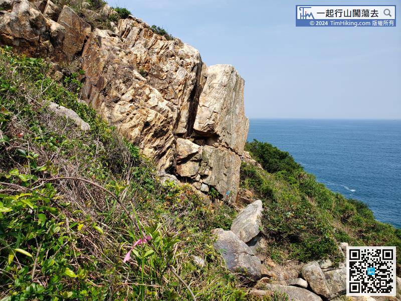
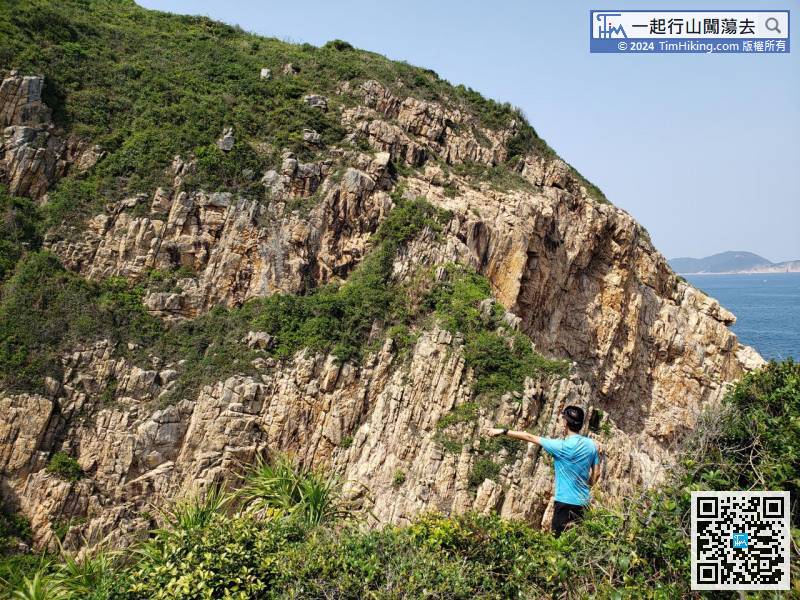
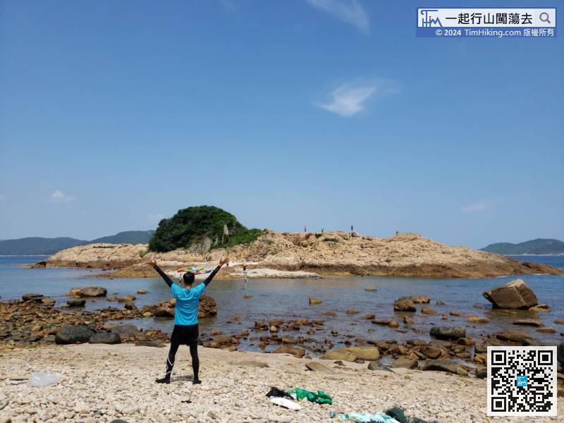
Next, continue walking along the shore, over the bottom of the big rock,
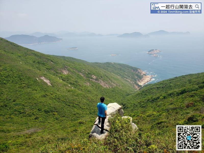
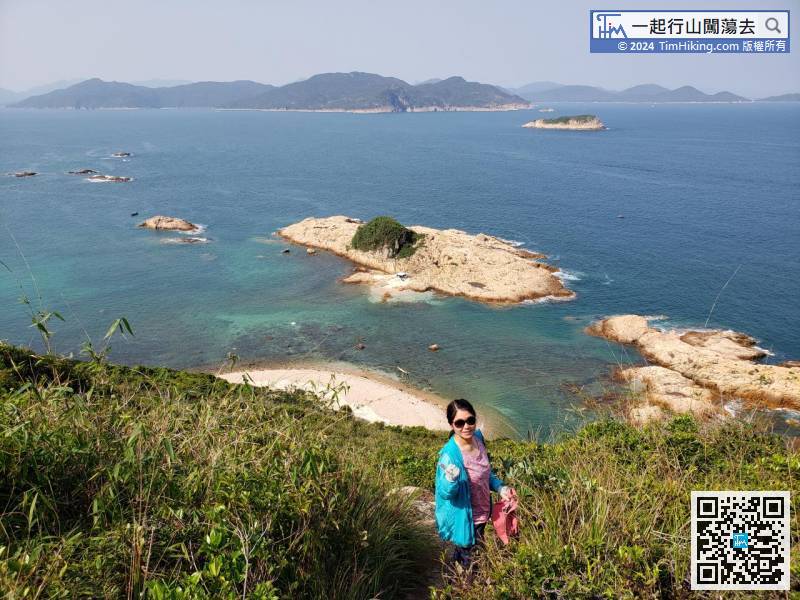
75︰The small island with green hair on the front is not Green Egg Island, but Trio Island, maybe no one has heard this name.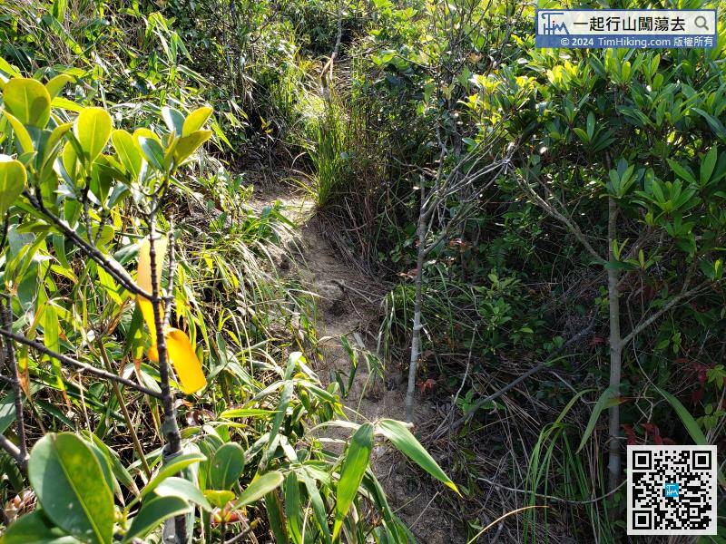 97︰and climb to the bottom.
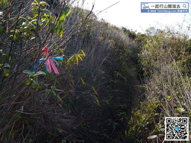
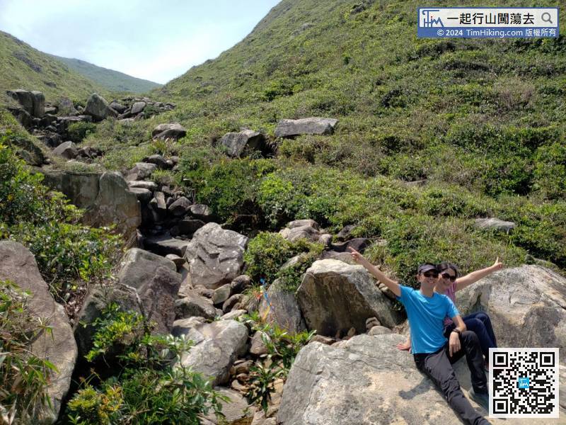
This trail has a small number of ribbons to lead the way.


