


 Recommend YouTube


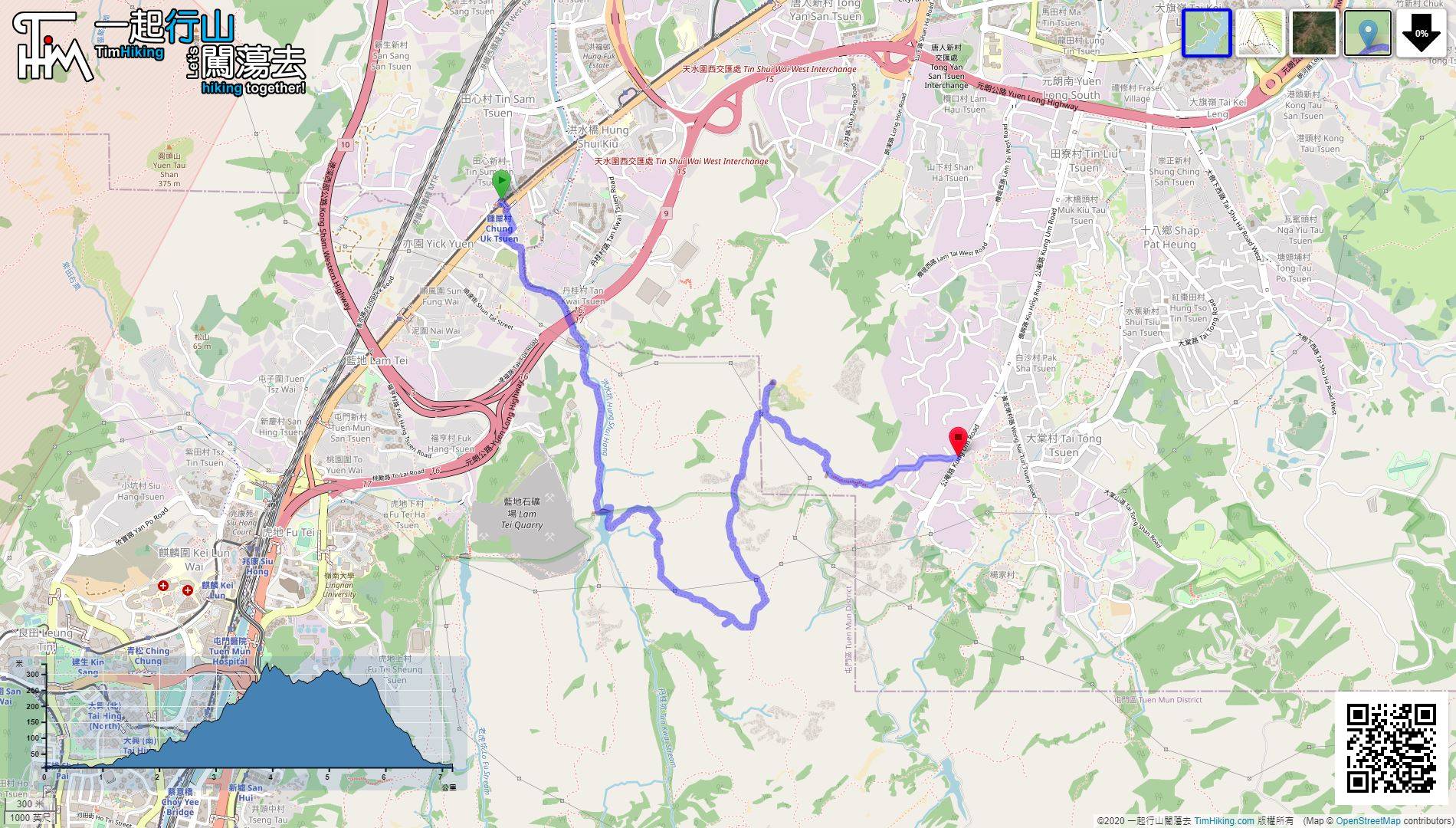
| View : |  | ||
| Difficulty : |  | ||
| Path : | |||
| Length : | 7.2km | ||
| Time : | 4hours | ||
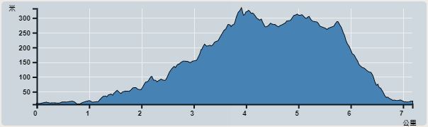 | |
| Ascent : 516m | Descent : 516m |
| Max : 336m | Min : 8m |
| (The accuracy of elevation is +/-30m) | |


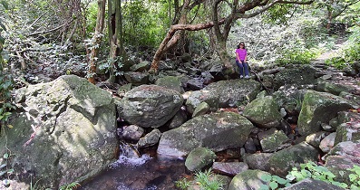
 11︰and then follow Hung Shui Hang to the upper reaches.
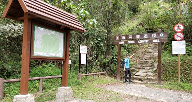
To the starting point, you can take the Light Rail to Chung Uk Tsuen and get off.
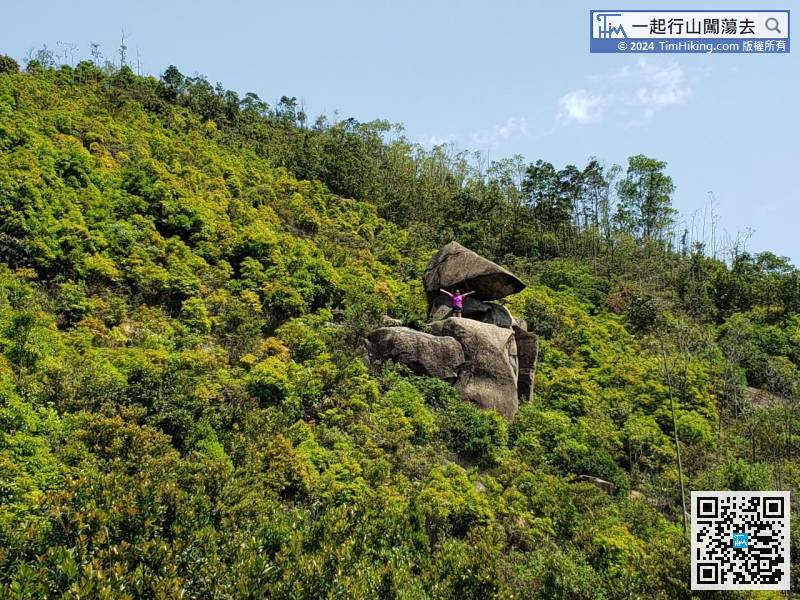
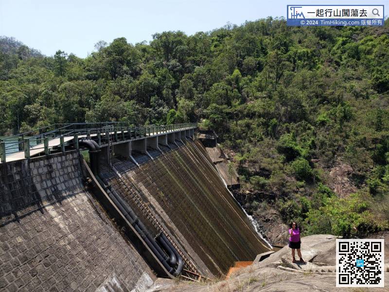
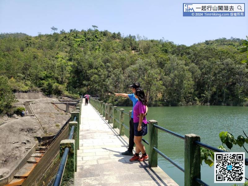
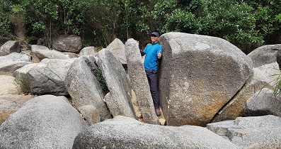
15︰Standing on the Main Dam to see the scenery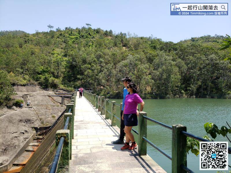 30︰When approaching God Eagle Rock, keep to the left
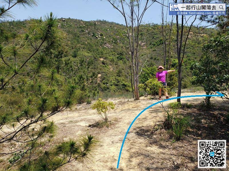
After visiting God Eagle Rock, can turn back on the same road or continue forward,
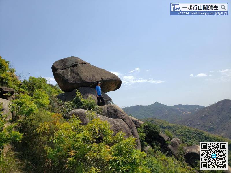
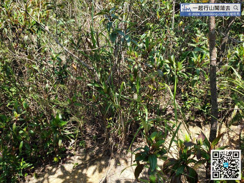
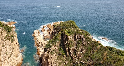
48︰Falling is actually not that serious, but of course it should not be taken lightly.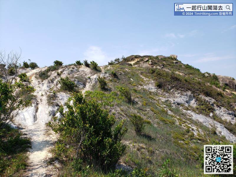 56︰The top of Kung Um Shan has a very open scenery, can almost get a bird's eye view of the entire North of New Territories,
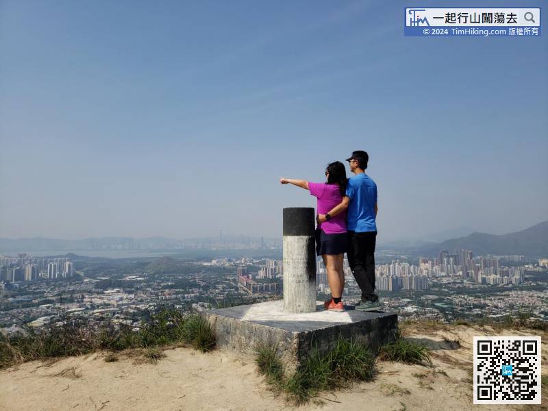
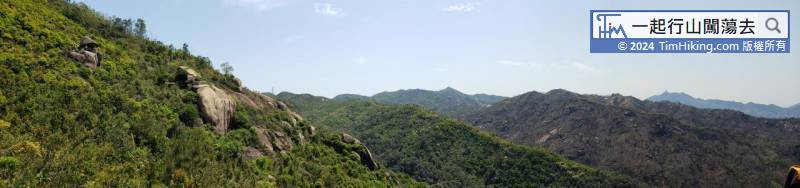
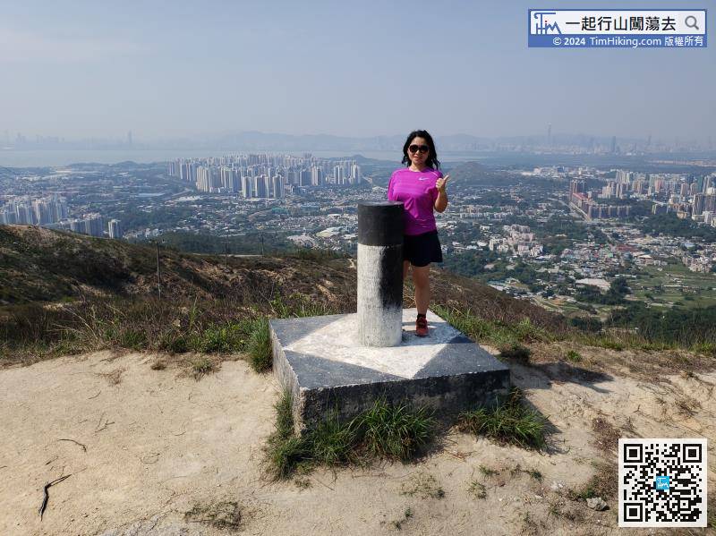
The top of Kung Um Shan has a very open scenery, can almost get a bird's eye view of the entire North of New Territories,


