


 Recommend YouTube


| View : |  | ||
| Difficulty : |  | ||
| Path : | |||
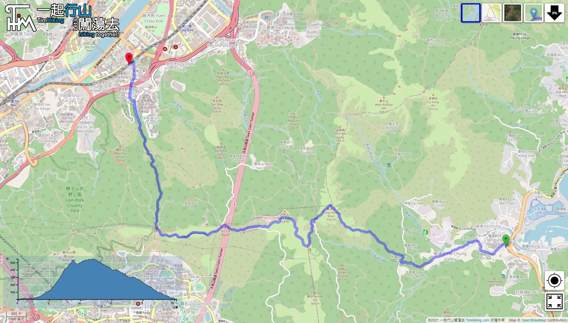
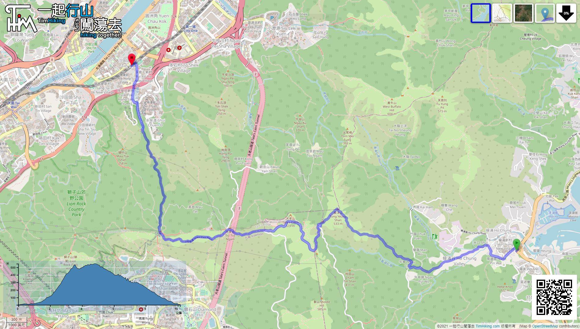
| Length : | 10.1km | ||
| Time : | 3½hours | ||
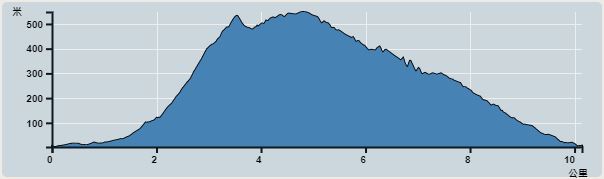 | |
| Ascent : 817m | Descent : 806m |
| Max : 548m | Min : 2m |
| (The accuracy of elevation is +/-30m) | |


 Lion PavilionStore
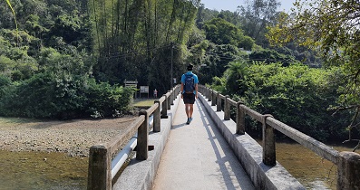
 6︰After that, cross the Ho Chung River,
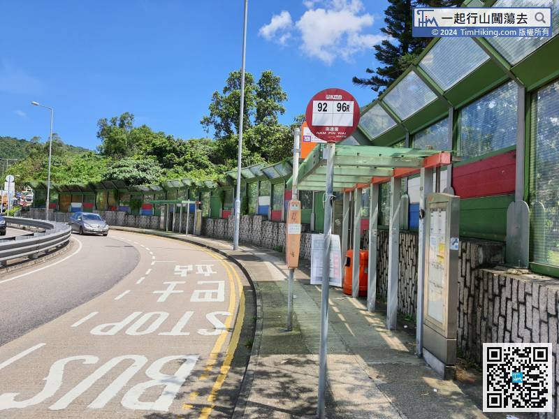
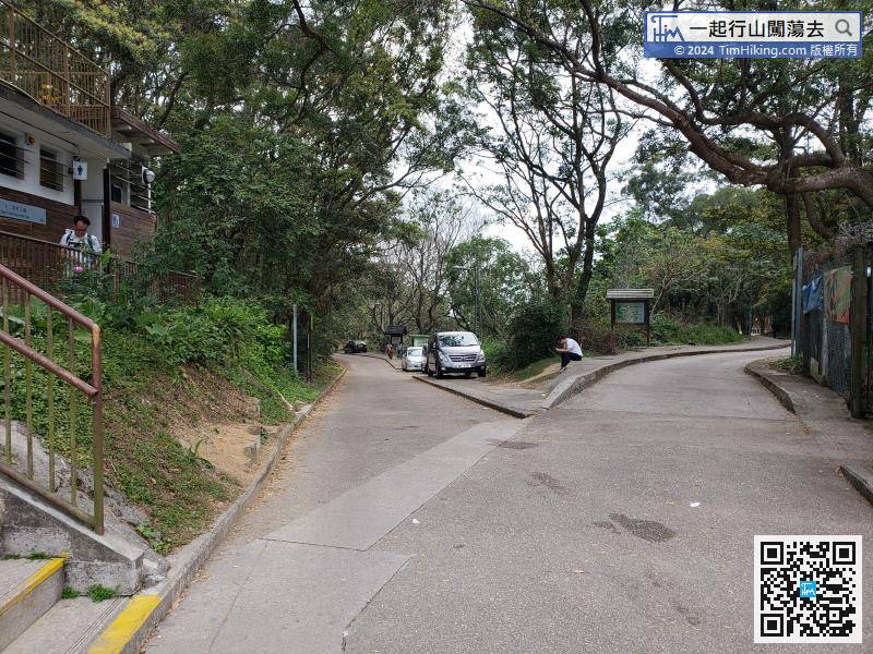
The starting point is at Ho Chung, many buses and minibuses to Sai Kung will pass here.
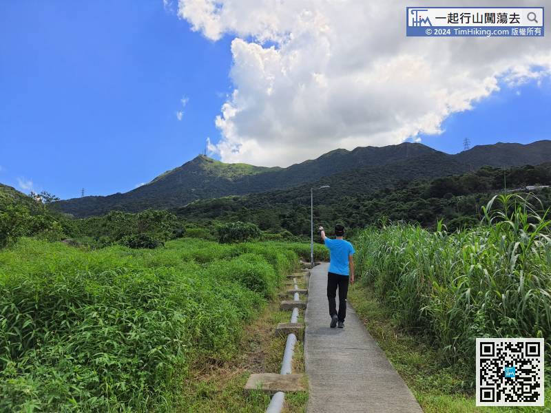
Ho Chung Ancient Trail is a former ancient road connecting Ho Chung and Tai Lam Wu,
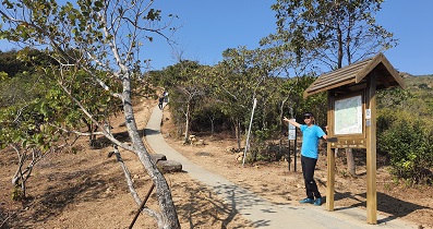
18︰The Hon Ying School was closed in 1984.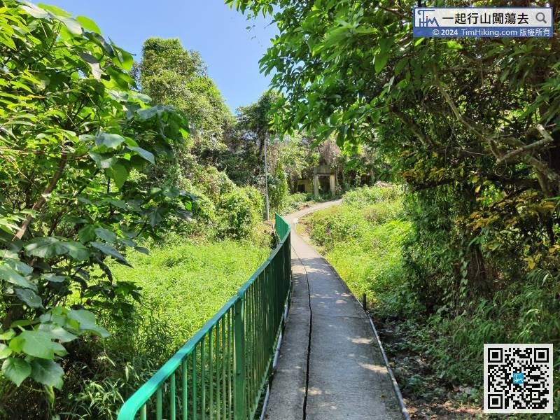 30︰At the bifurcation, need to leave the easier concrete road,
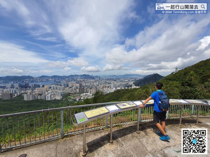
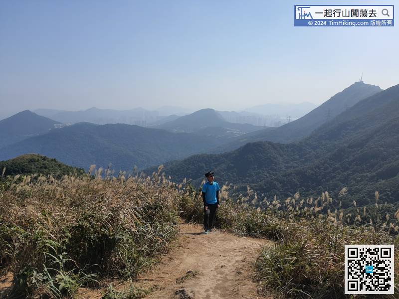
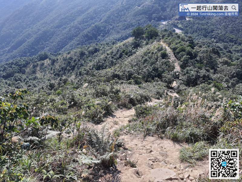
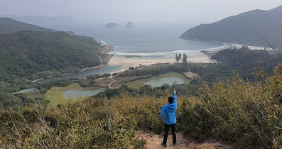
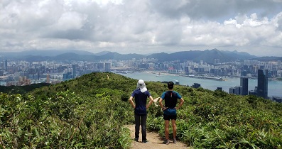
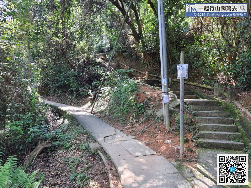 36︰when feeling tired, look at the beautiful archipelago view behind.
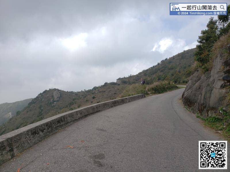
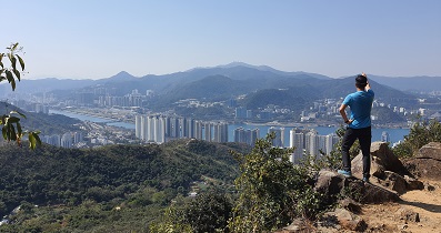
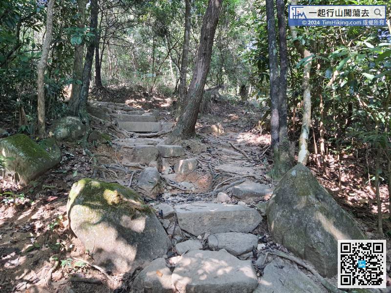 43︰and then turn right onto Tung Yeung Shan.
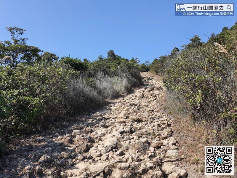


