


 Recommend YouTube


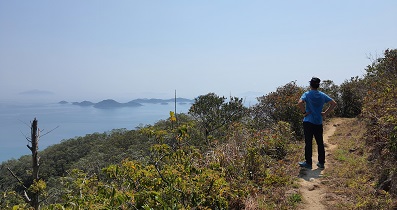
| View : |  | ||
| Difficulty : |  | ||
| Path : | |||
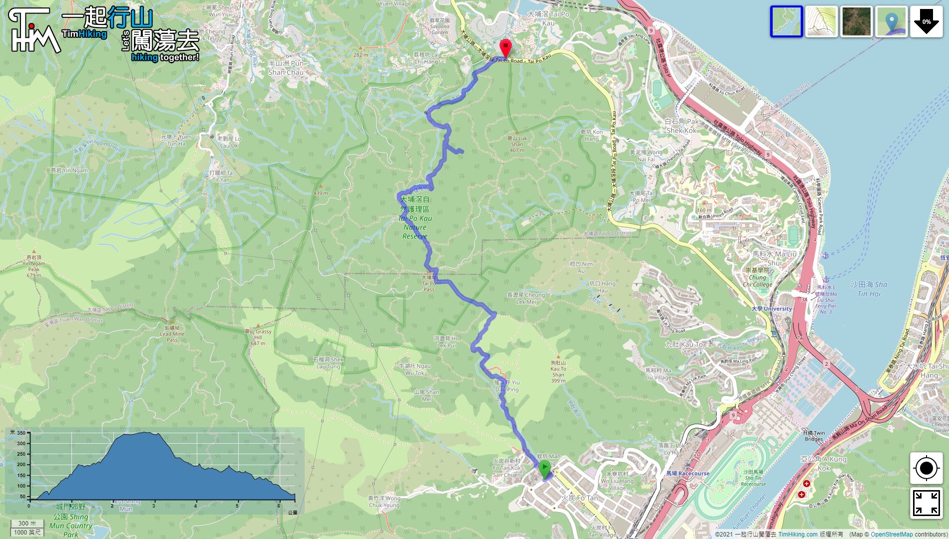
| Length : | 6.3km | ||
| Time : | 2½hours | ||
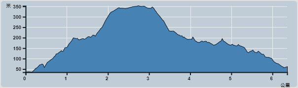 | |
| Ascent : 519m | Descent : 507m |
| Max : 352m | Min : 35m |
| (The accuracy of elevation is +/-30m) | |


 10︰In the bifurcation intersection, continue straight,
 13︰When coming to the bifurcation of Yiu Dau Ping, going left is to Grassy Hill via Ngau Wu Tok,
When coming to the bifurcation of Yiu Dau Ping, going left is to Grassy Hill via Ngau Wu Tok,
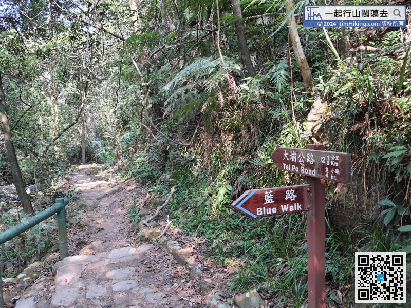
29︰To reach Tai Po, need to turn right onto the dirt road trail, which is behind the sign. 41︰Just a minute, will see a large bulletin board
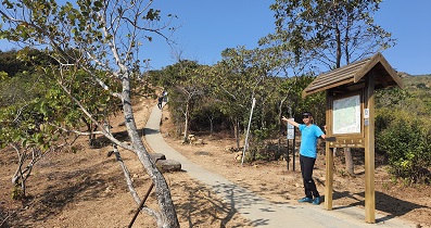
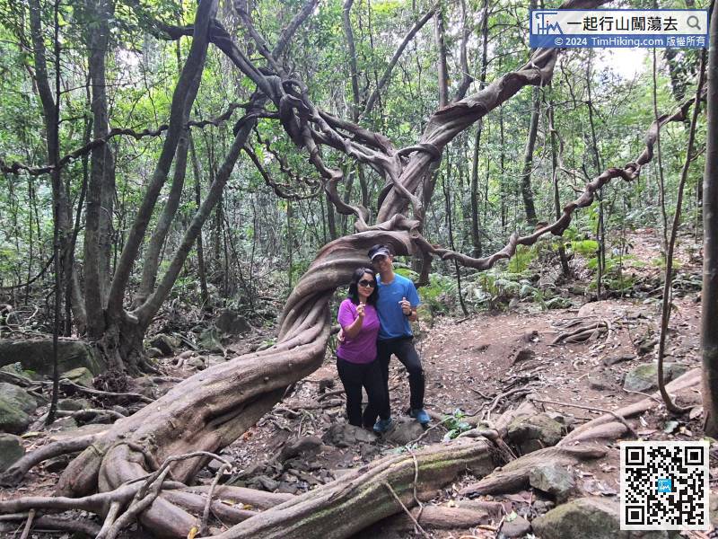
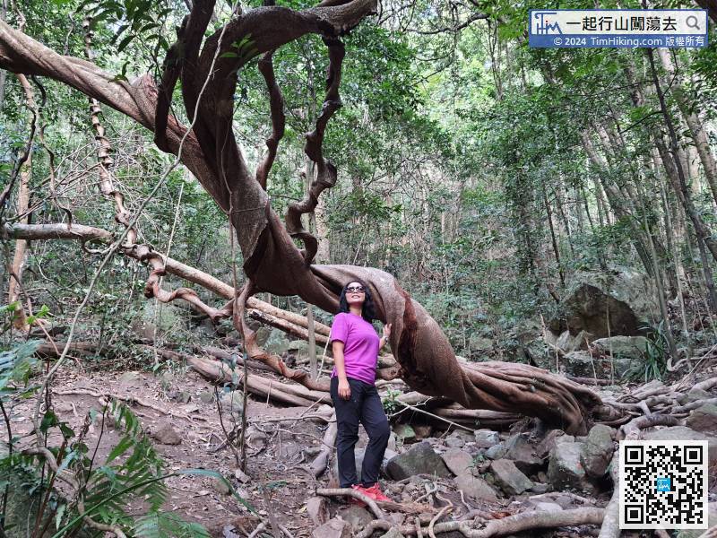
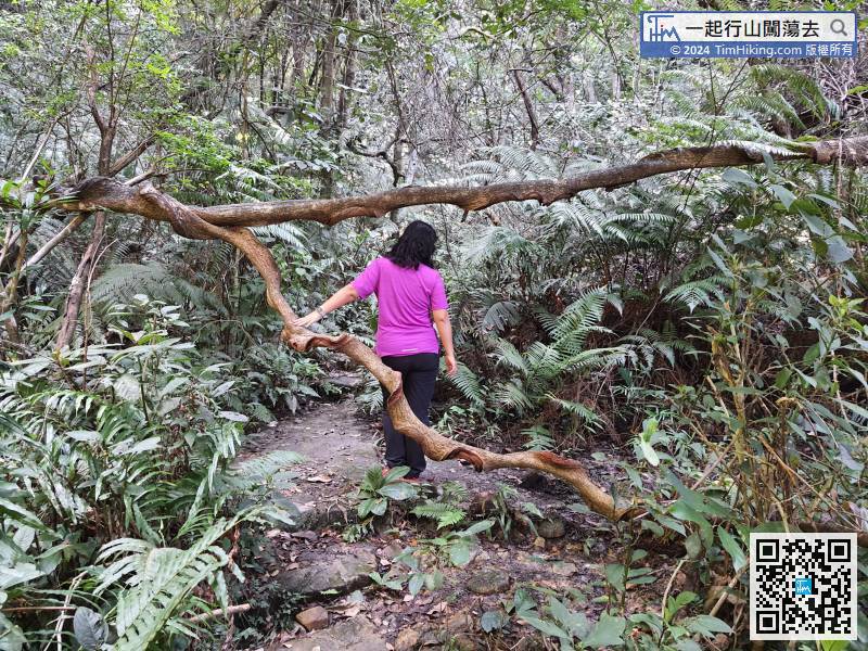
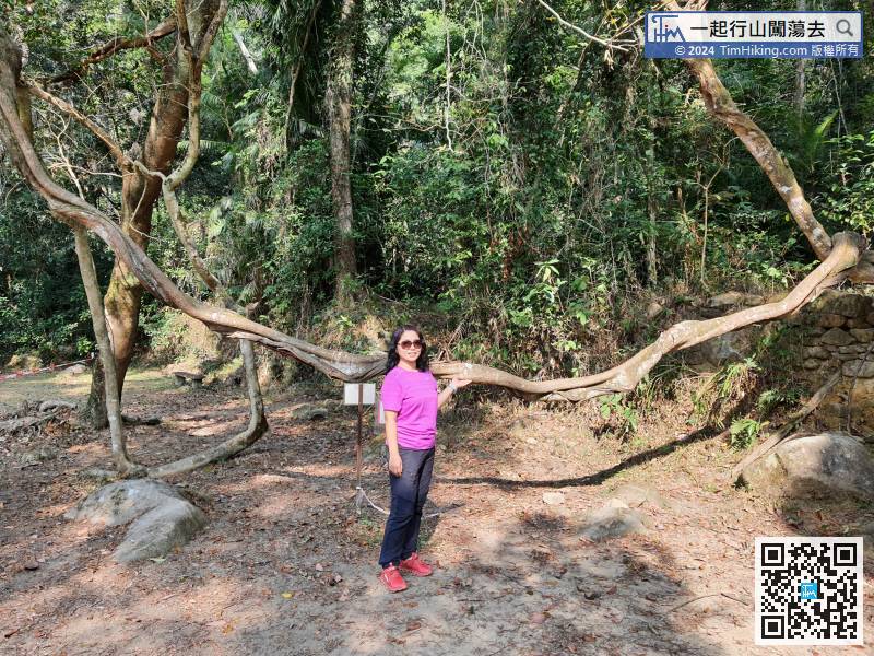
 68︰After passing through, it seems to enter a magical forest.
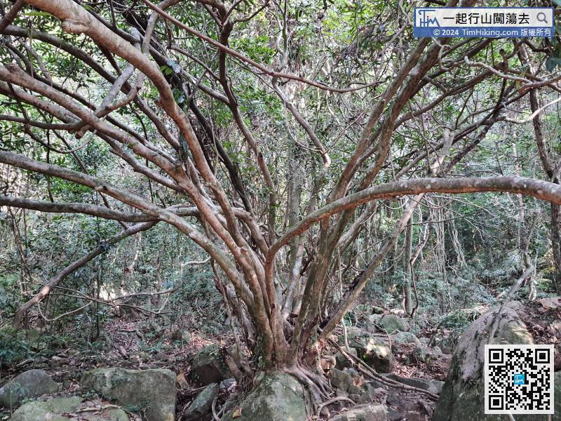


