


 Recommend YouTube


| View : |  | ||
| Difficulty : |  | ||
| Path : | |||
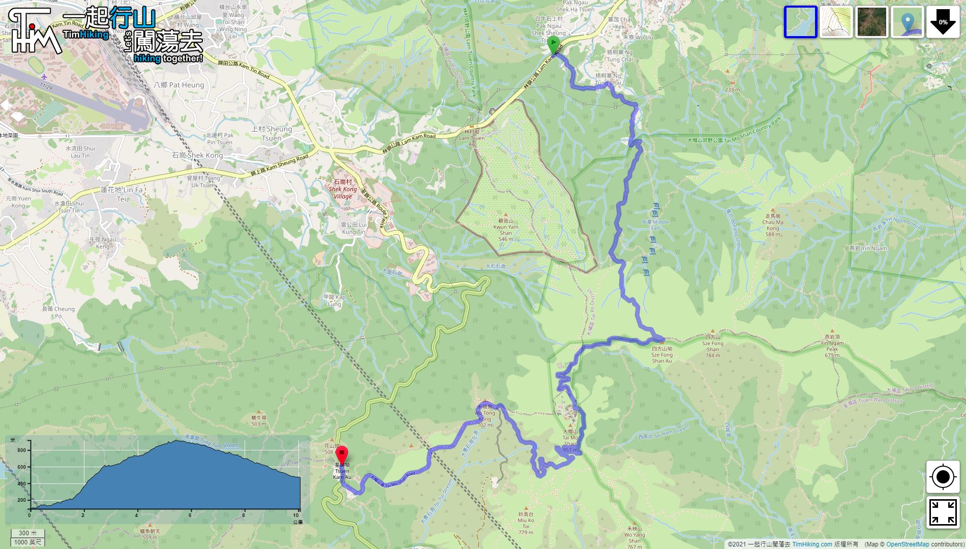
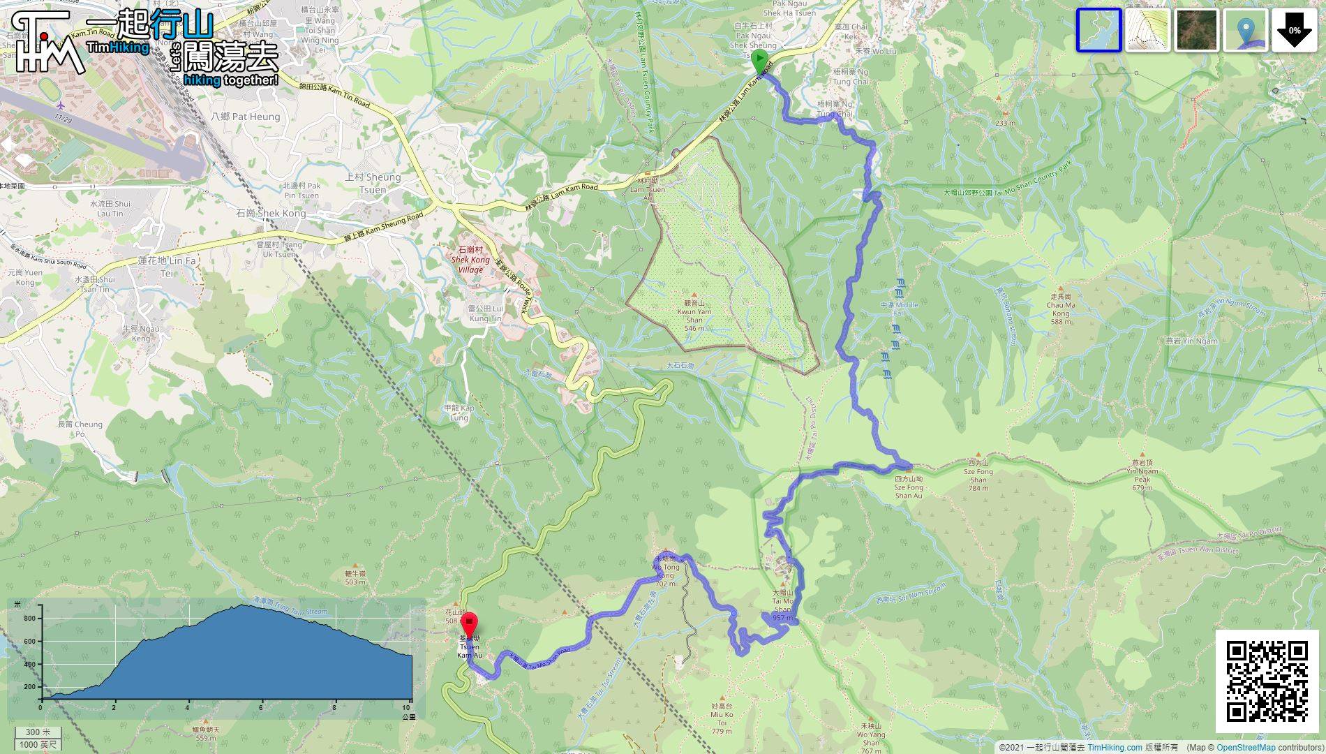
| Length : | 10.1km | ||
| Time : | 4hours | ||
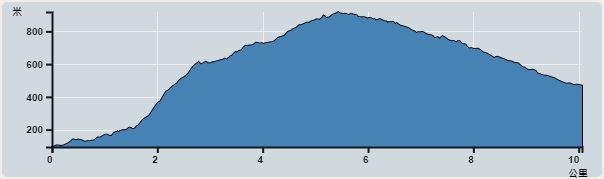 | |
| Ascent : 1,125m | Descent : 725m |
| Max : 919m | Min : 94m |
| (The accuracy of elevation is +/-30m) | |


 Man Tak Yuen
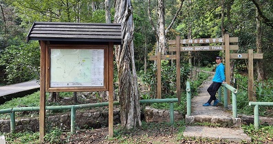
 2︰After getting off the bus, go onto Ng Tung Chai Road
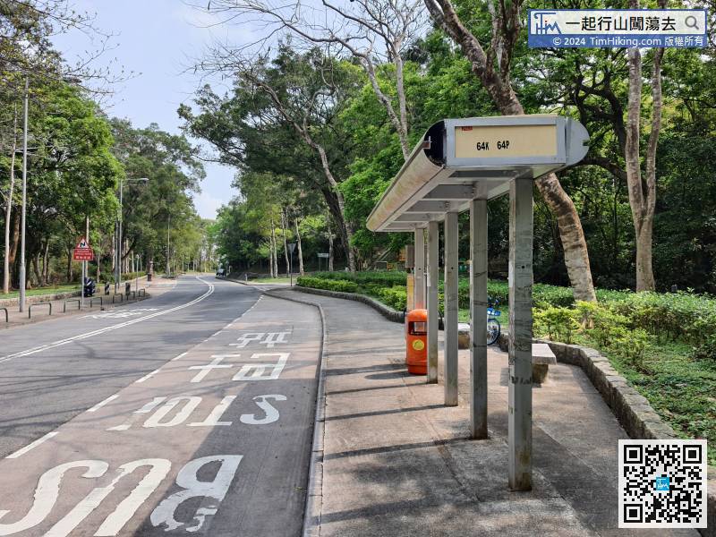
The starting point is Ng Tung Chai. You can take a 64K bus or 25K minibus from Tai Po Market and get off at Ng Tung Chai bus stop.
13︰Go through the big archway of Man Tak Yuen,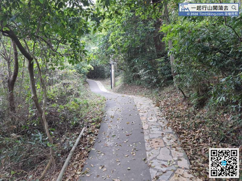
Enter the Ng Tung Stream Path, also known as Man Tak Path below Man Tak Yuen.
23︰you come to an inconspicuous bifurcation.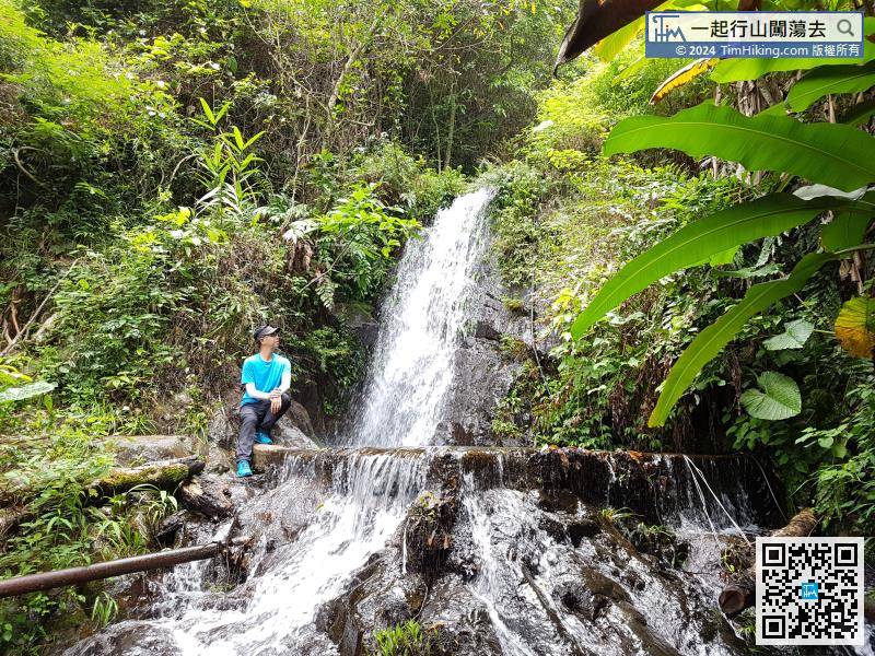
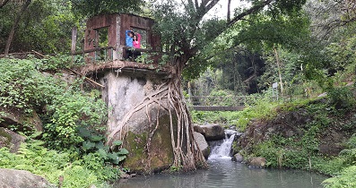
There is a small waterfall at the beginning, and it is very surging when the water is full.
29︰will soon connect to the infinite steps,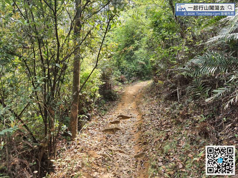 42︰There is an inconspicuous bifurcation in the middle.
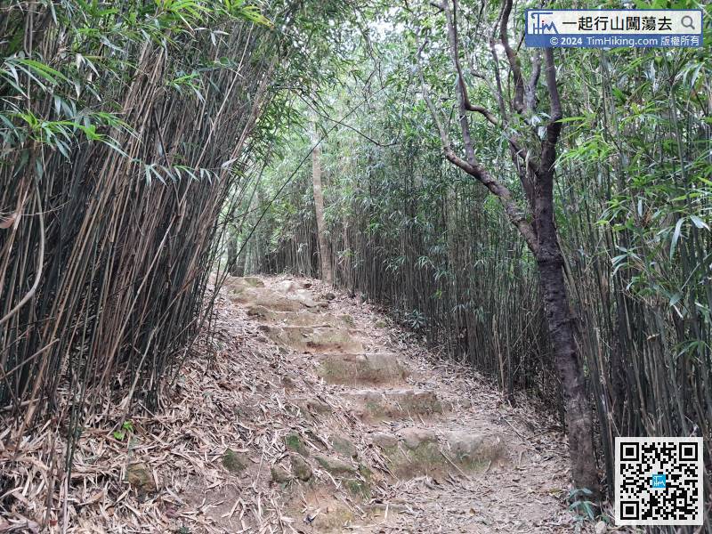 53︰Sze Fong Shan Au has a big pavilion, the scenery is good with a well open scenery, you might as well take a break.
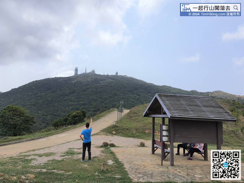
Sze Fong Shan Au has a big pavilion, the scenery is good with a well open scenery, you might as well take a break.
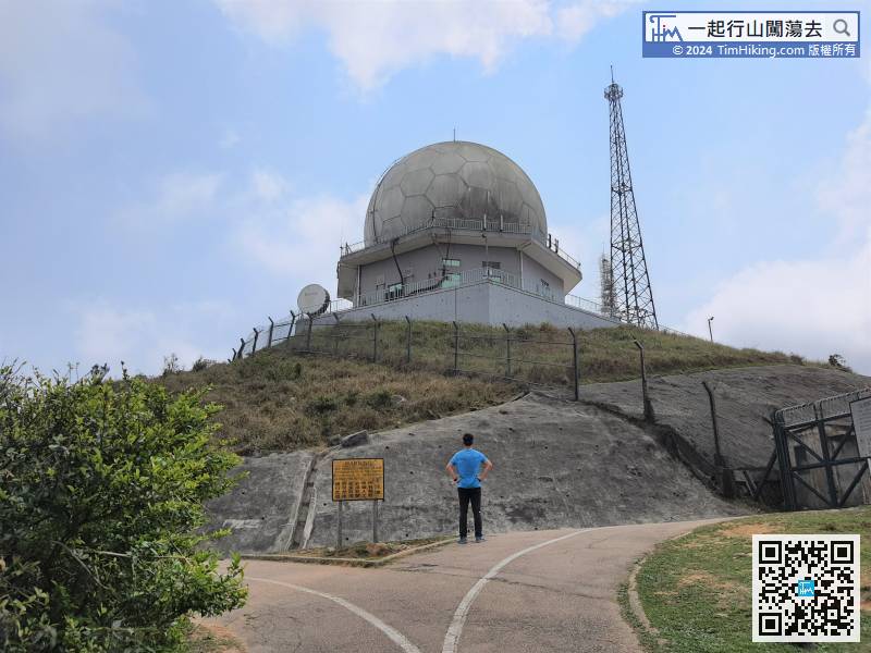
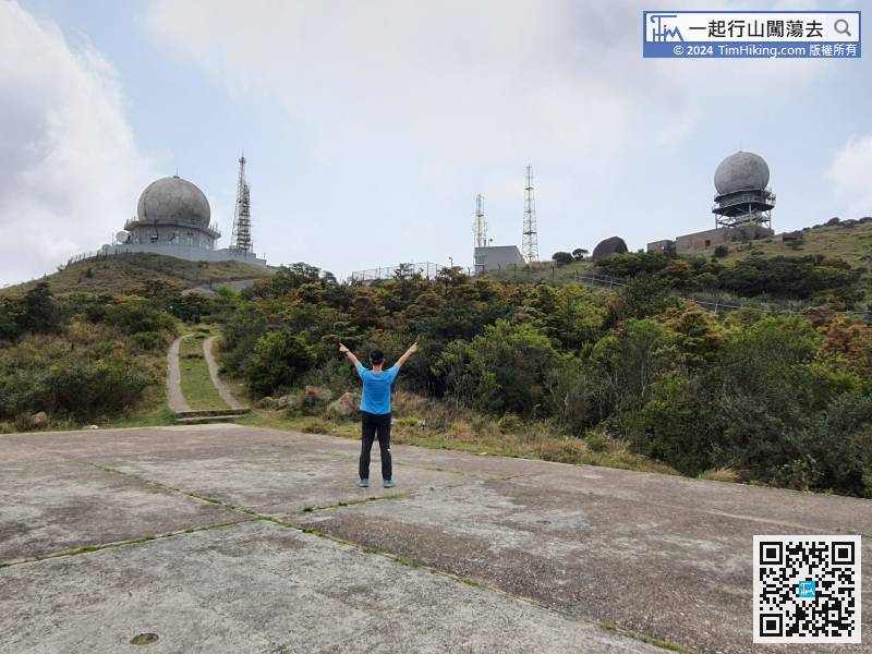
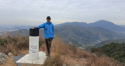
65︰This position can take two Radar Station, the left one is the Military Radar, the right one is the Weather Radar Station.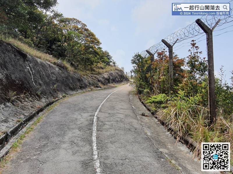 69︰Starting downhill via the concrete road,
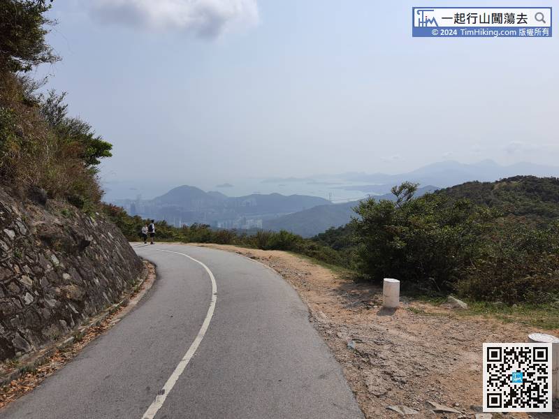
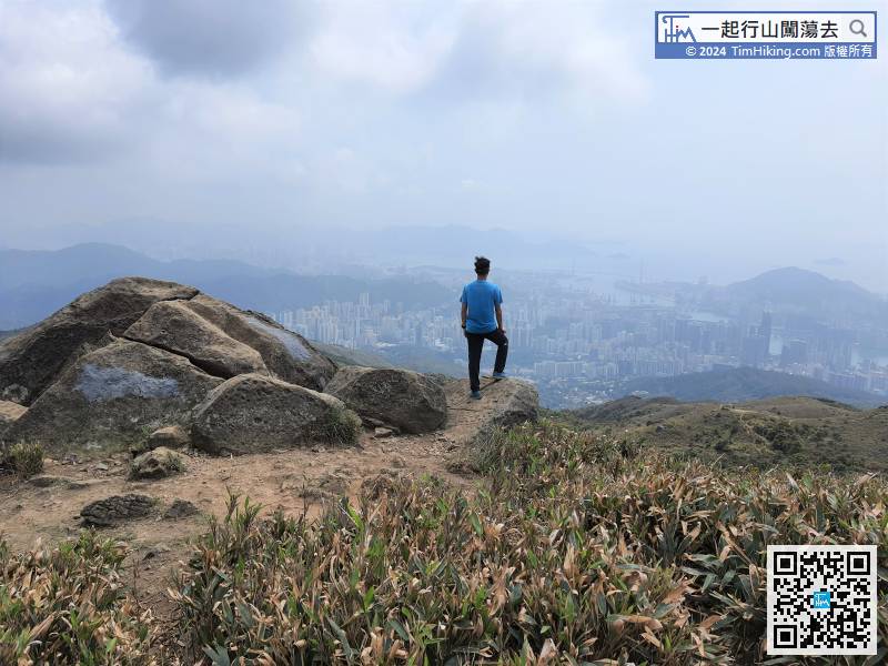 78︰There are three trigonometrical stations on the main peak of Wo Tong Kong,
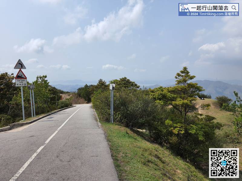
Next, do not directly run down the mountain, first go to the trigonometrical station on the main peak of Wo Tong Kong and the Tai Mo Shan viewing platform on the right.


