


 Recommend YouTube

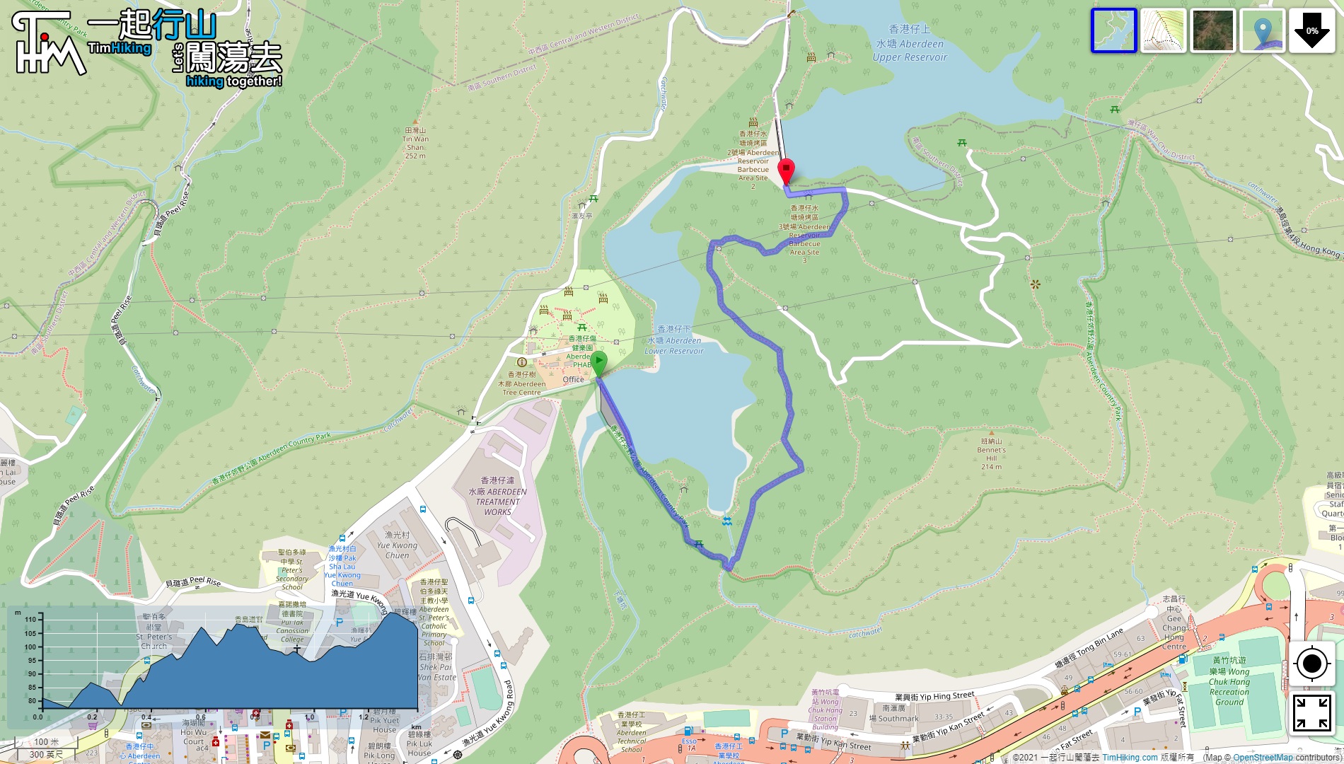

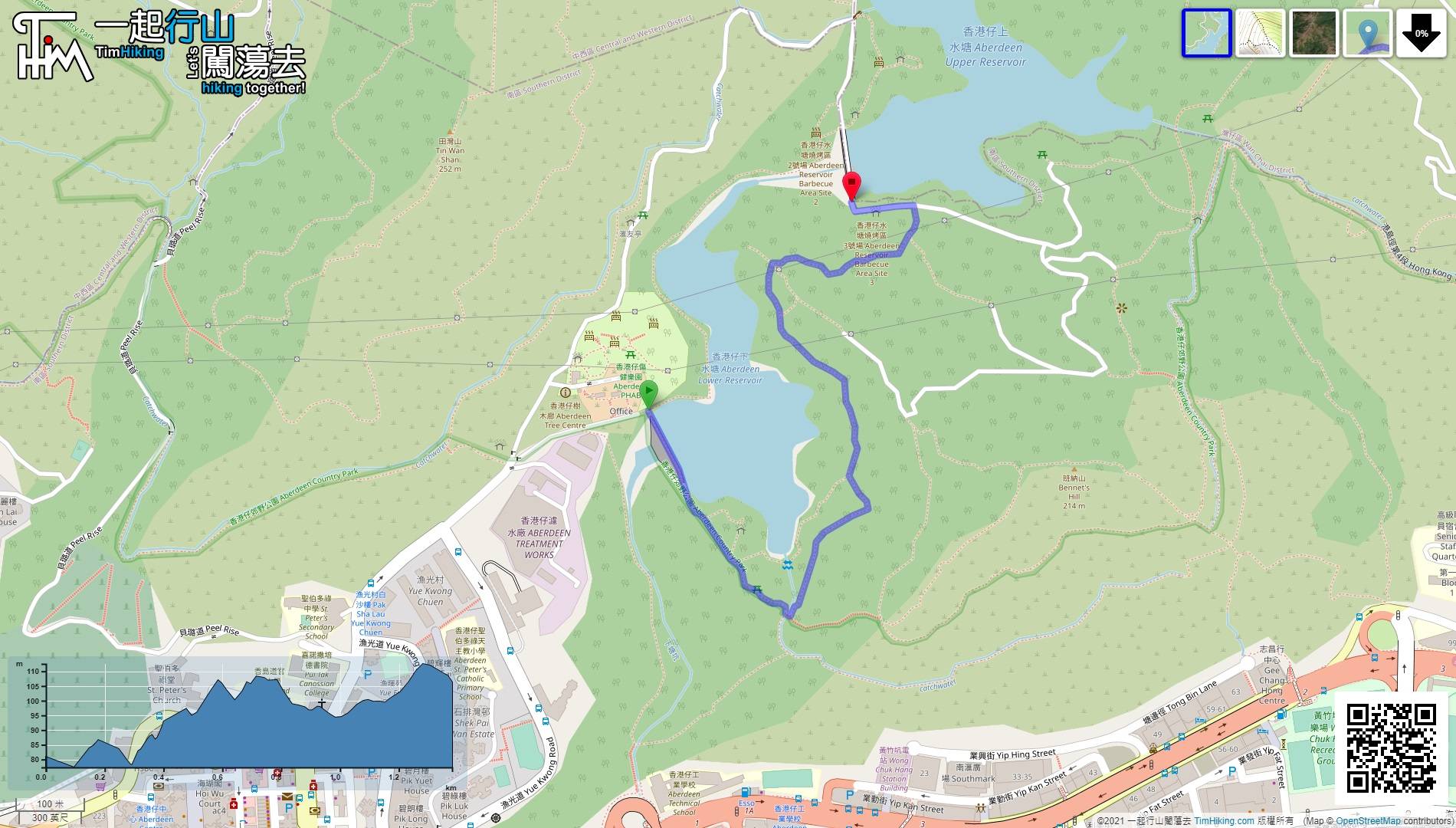
| View : |  | ||
| Difficulty : |  | ||
| Path : | |||
| Length : | 1.4km | ||
| Time : | ½hours | ||
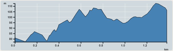 | |
| Ascent : 86m | Descent : 66m |
| Max : 113m | Min : 77m |
| (The accuracy of elevation is +/-30m) | |


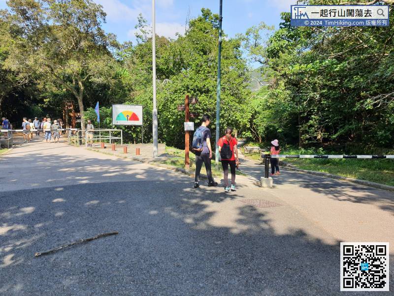
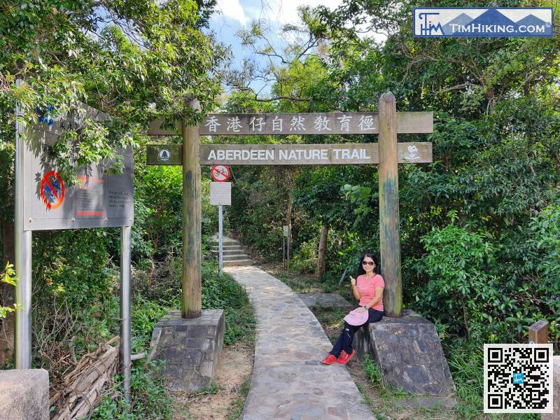
 16︰At the end of the dam, will find the archway of Aberdeen Nature Trail.
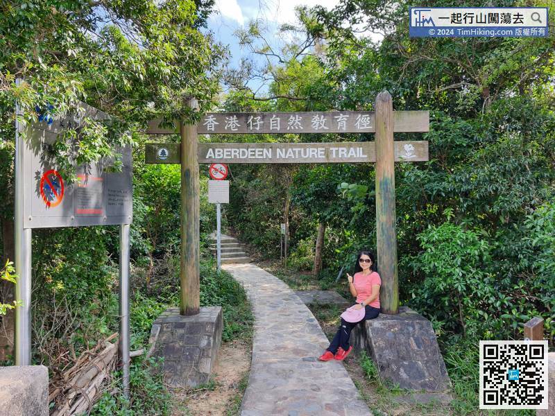
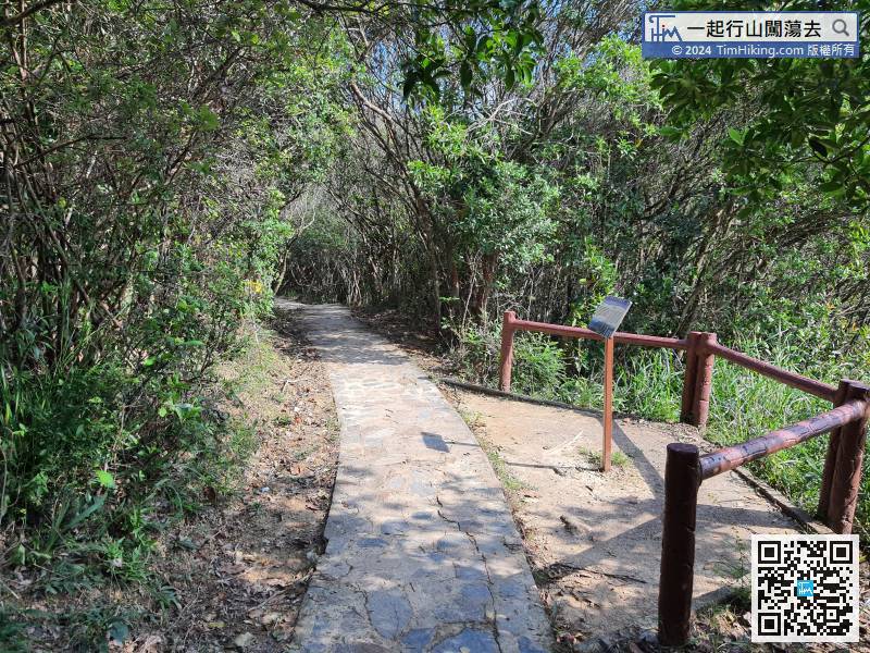
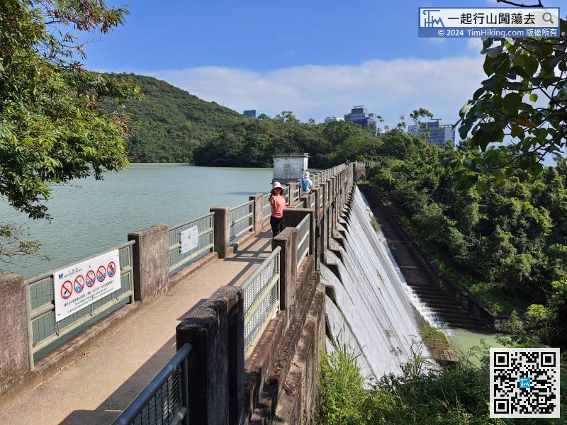
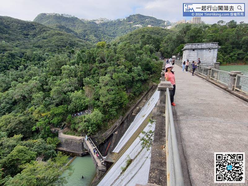
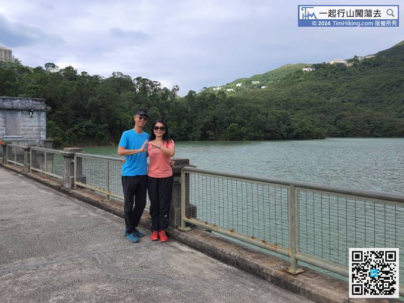
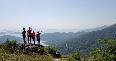
In an instance, come to the most open scenery spot in the whole journey, like a Viewing Point,
32︰When coming to the next bifurcation, the signs are not very clear,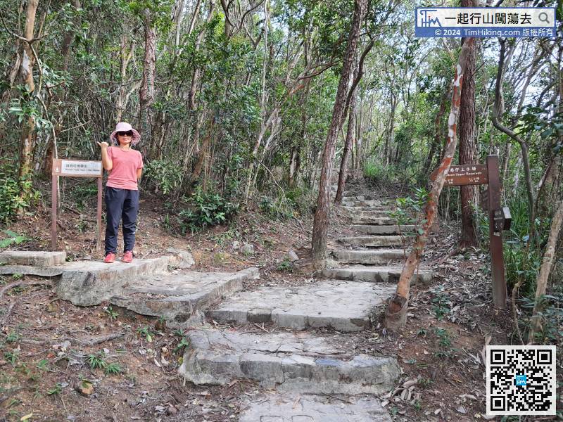
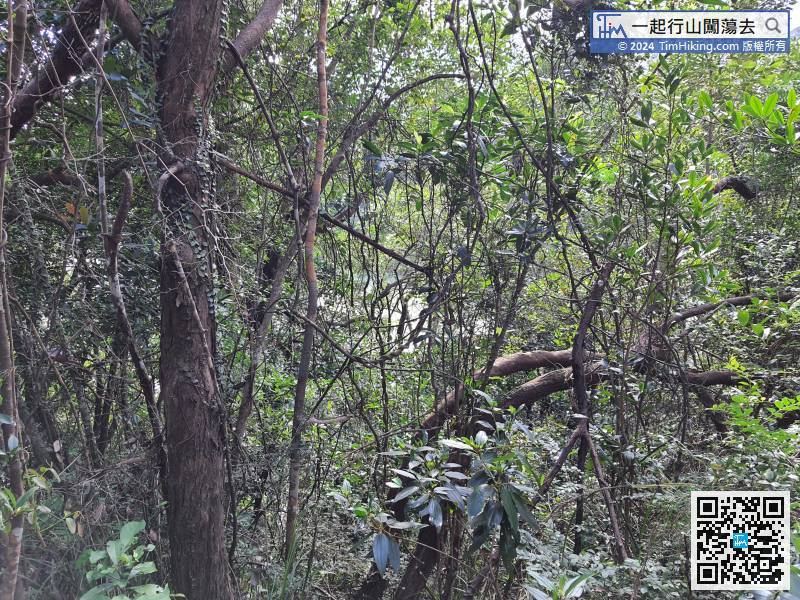
Although walking around the reservoir along the road, can only peek at the reservoir,
52︰will come to another fork intersection,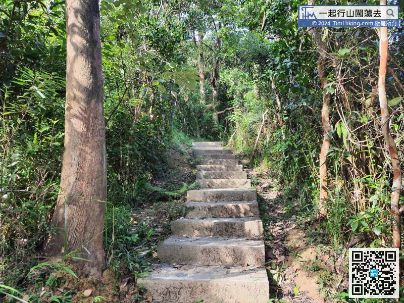 62︰where the Nature Trail ends.
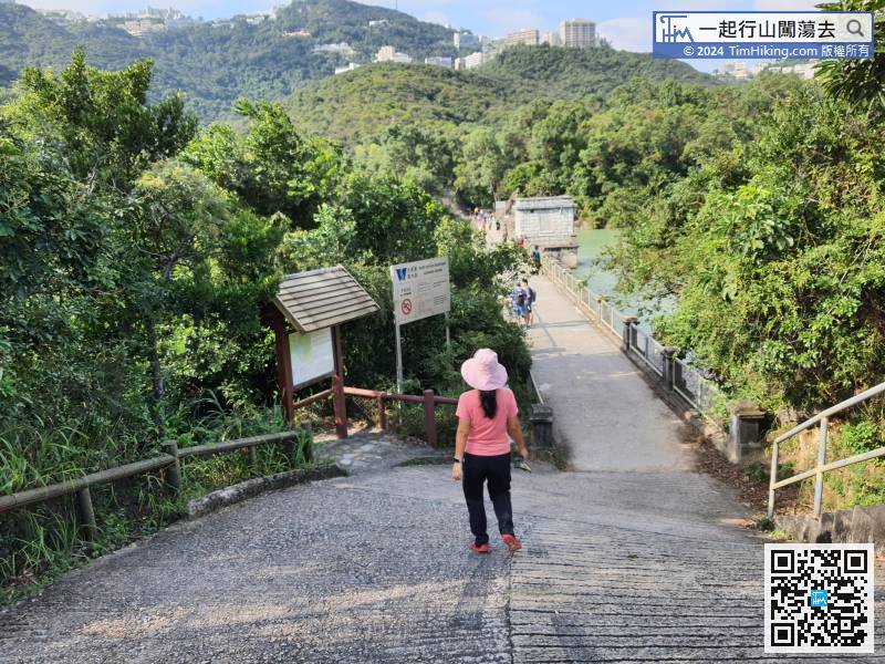


