


 Recommend YouTube


| View : |  | ||
| Difficulty : |  | ||
| Path : | |||
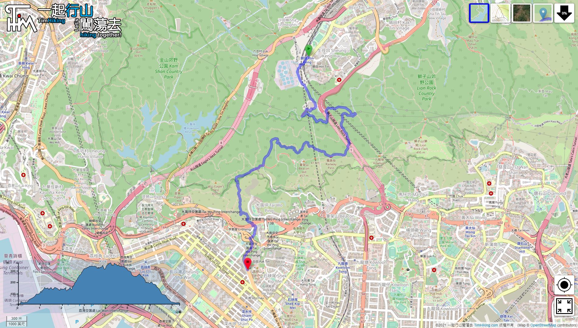
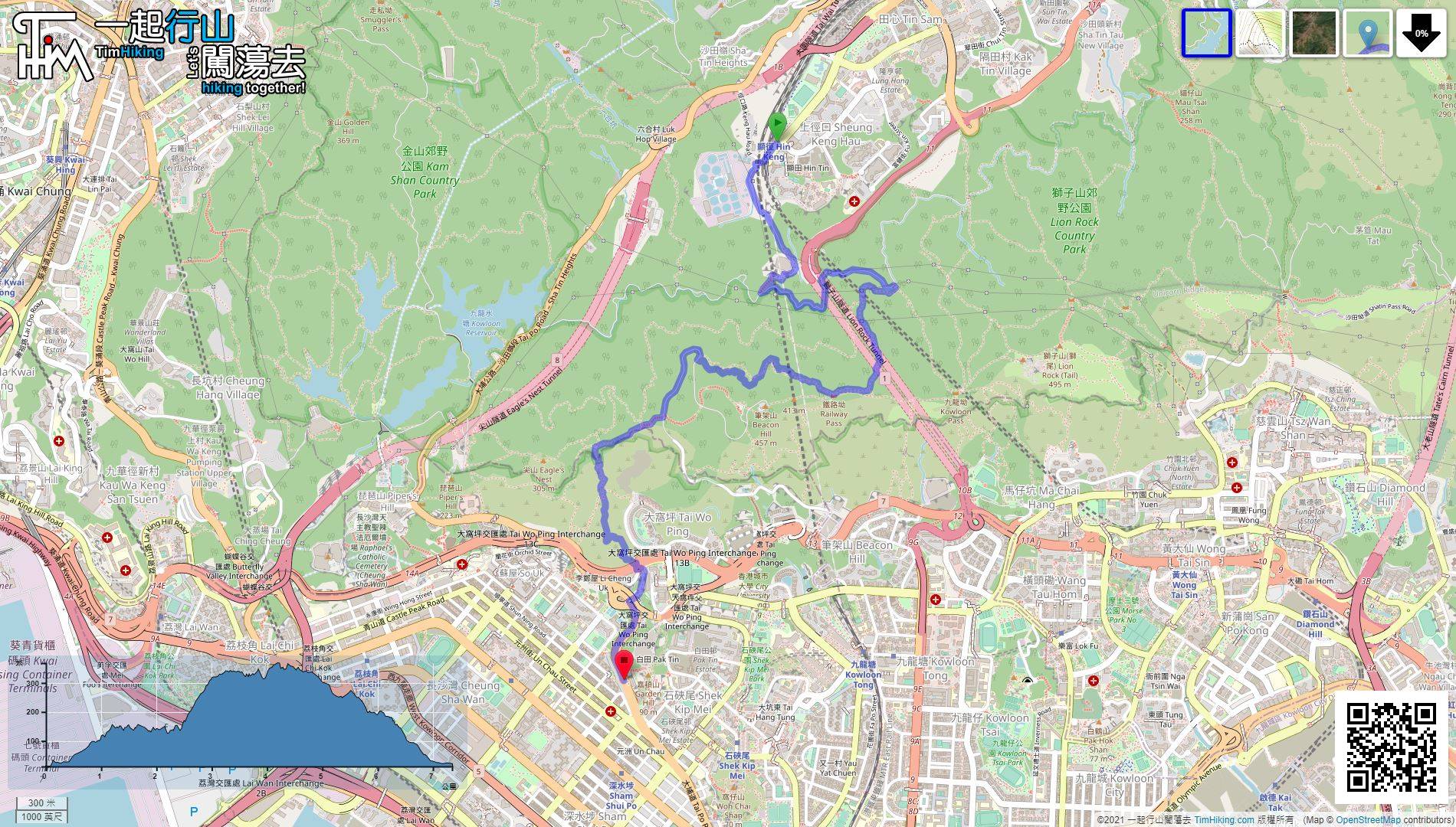
| Length : | 7.4km | ||
| Time : | 3½hours | ||
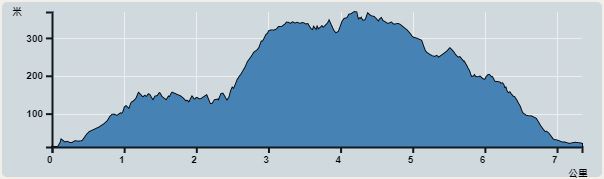 | |
| Ascent : 679m | Descent : 662m |
| Max : 368m | Min : 12m |
| (The accuracy of elevation is +/-30m) | |


 4︰and then turn into the concrete road with gates on the left.
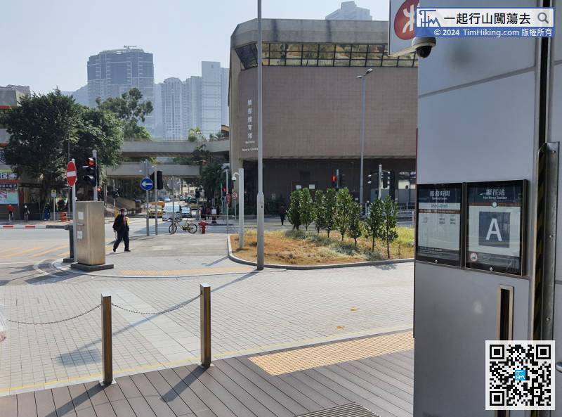
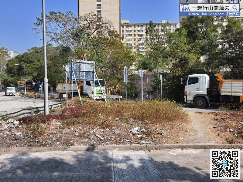
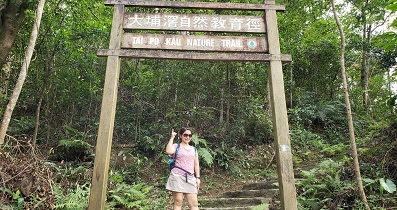
The starting point is at Hin Keng Station and there is only one exit.
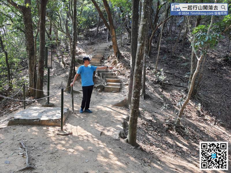
15︰Keep left to the top of the steps,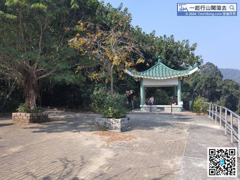 26︰The head path is Kin Lung Ancient Trail, right turn is Kau Sha Ancient Trail, Imperial Concubine Path also the right-hand side.
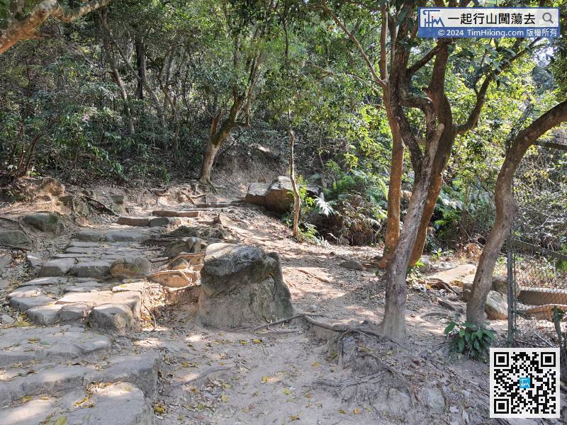
The head path is Kin Lung Ancient Trail, right turn is Kau Sha Ancient Trail, Imperial Concubine Path also the right-hand side.
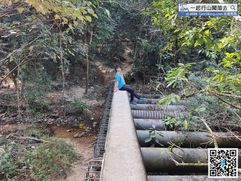
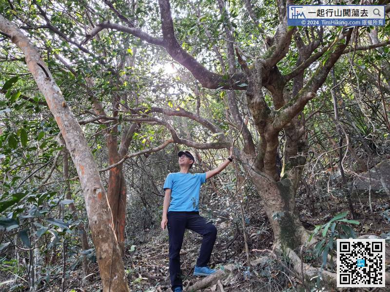
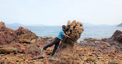
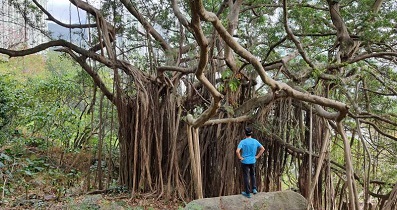
43︰It is a bit like a mini version of Yin Ngam, the bamboo forest seems endless.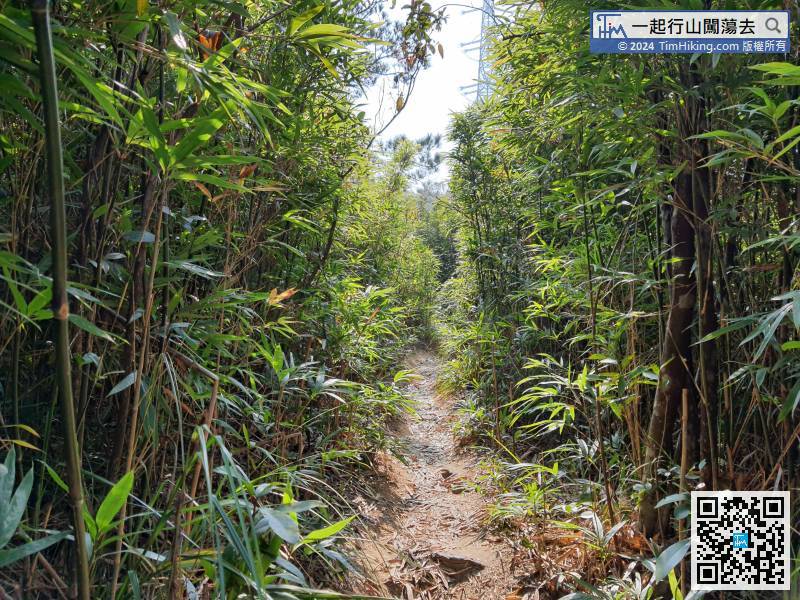 49︰When coming to another bifurcation, both sides are also connected to the MacLehose Trail (Section 5).
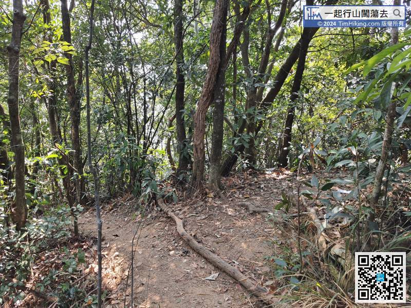
When coming to another bifurcation, both sides are also connected to the MacLehose Trail (Section 5).
63︰Keep walking in the direction of the rope,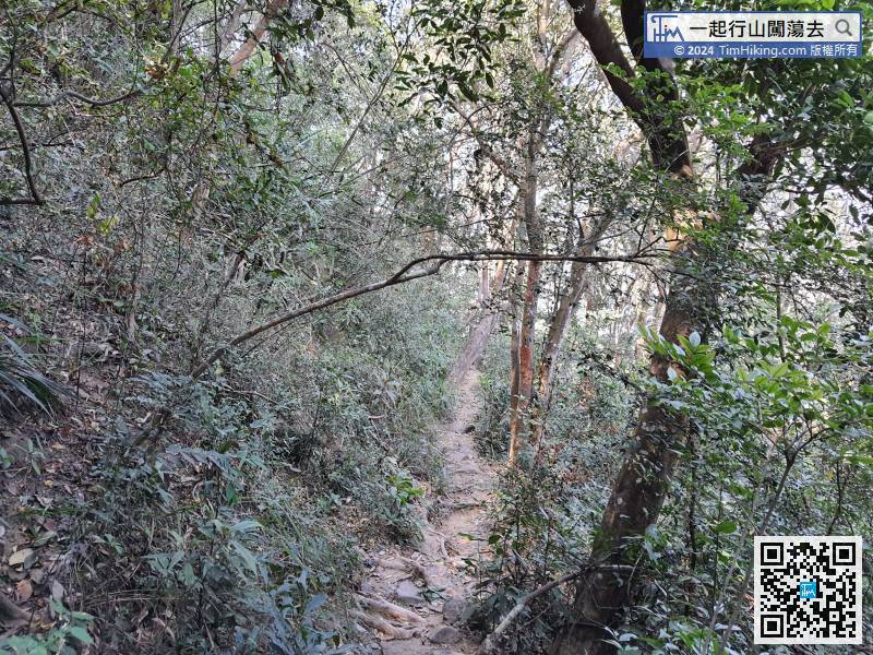 77︰Take a short break and continue going forward to the left-hand side of Eagle's Nest Nature Trail.
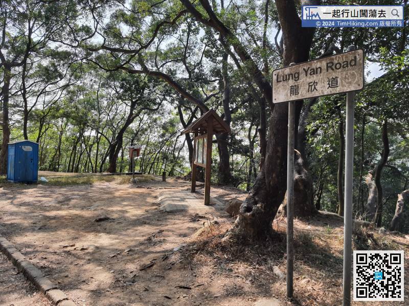 89︰pay attention to the bifurcation ahead,
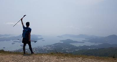
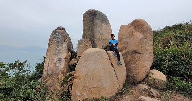
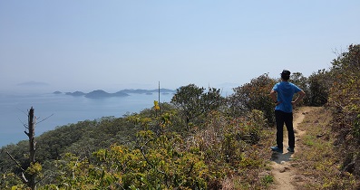
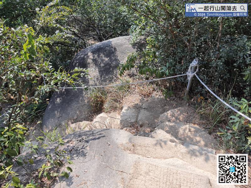 101︰can overlook half of Kowloon unobstructed at 180 degrees. It is the most open scenery location in the whole day.
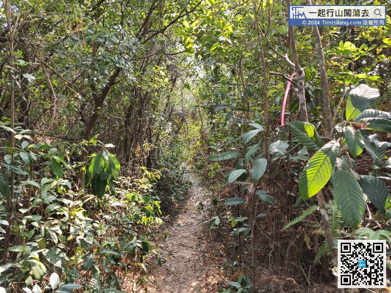
By the way, hikers can leave by their own transport needs.


