


 Recommend YouTube


| View : |  | ||
| Difficulty : |  | ||
| Path : | |||
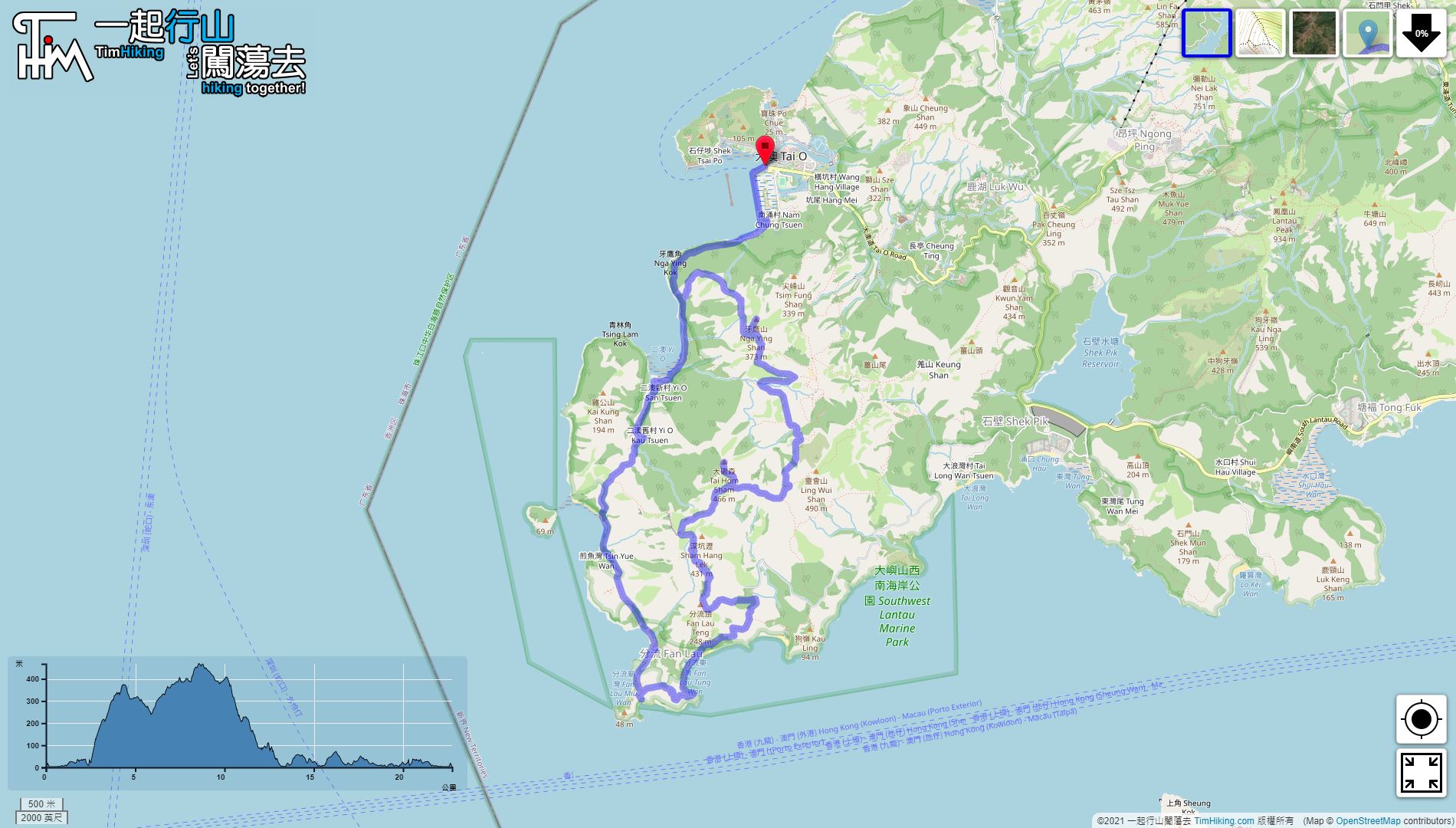
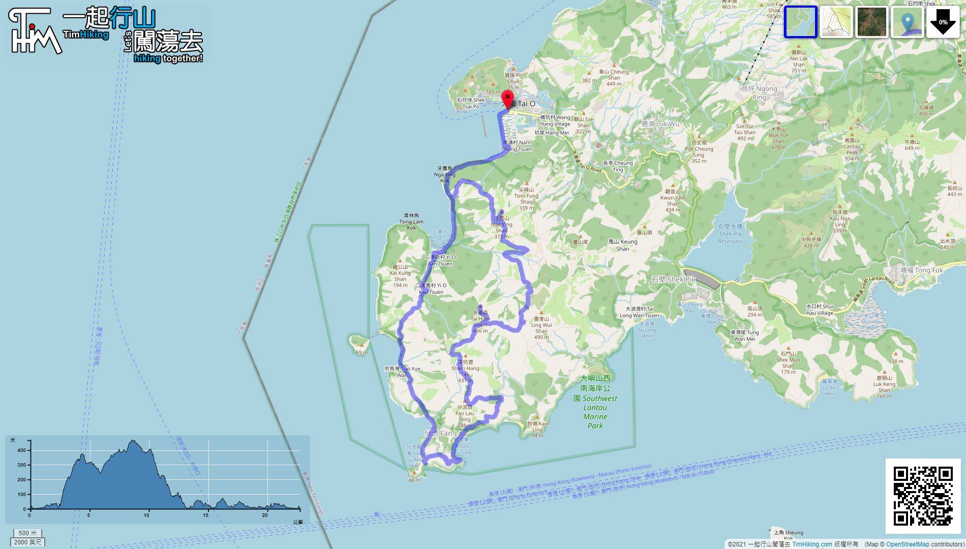
| Length : | 22.8km | ||
| Time : | 9hours | ||
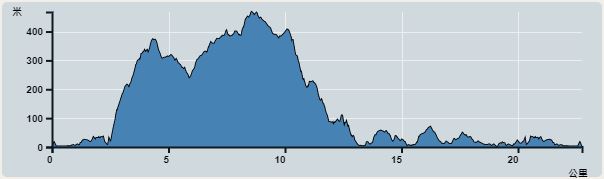 | |
| Ascent : 1,307m | Descent : 1,302m |
| Max : 444m | Min : 0m |
| (The accuracy of elevation is +/-30m) | |


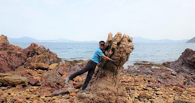
 Fan Lau Sai Wan
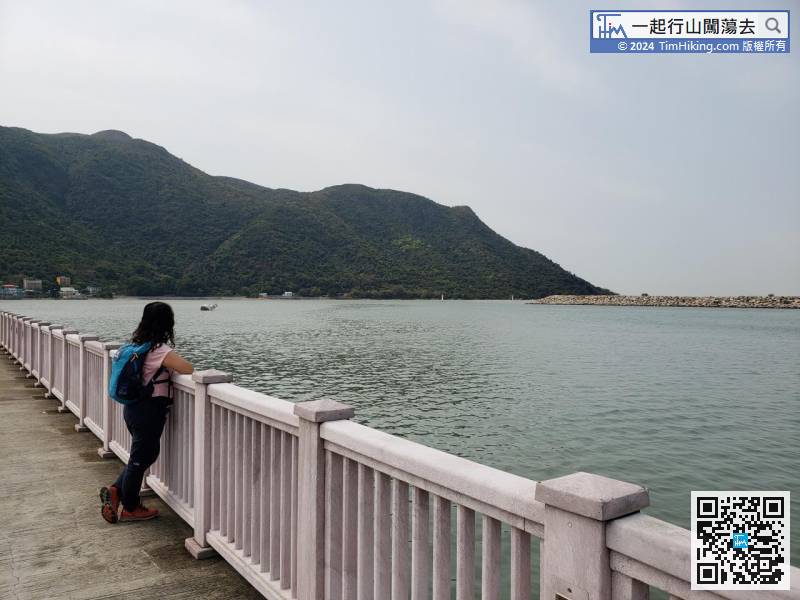
 6︰Walk along the beautiful seawall and enjoy the scenery,
 17︰Some steps are replaced by dirt trails.
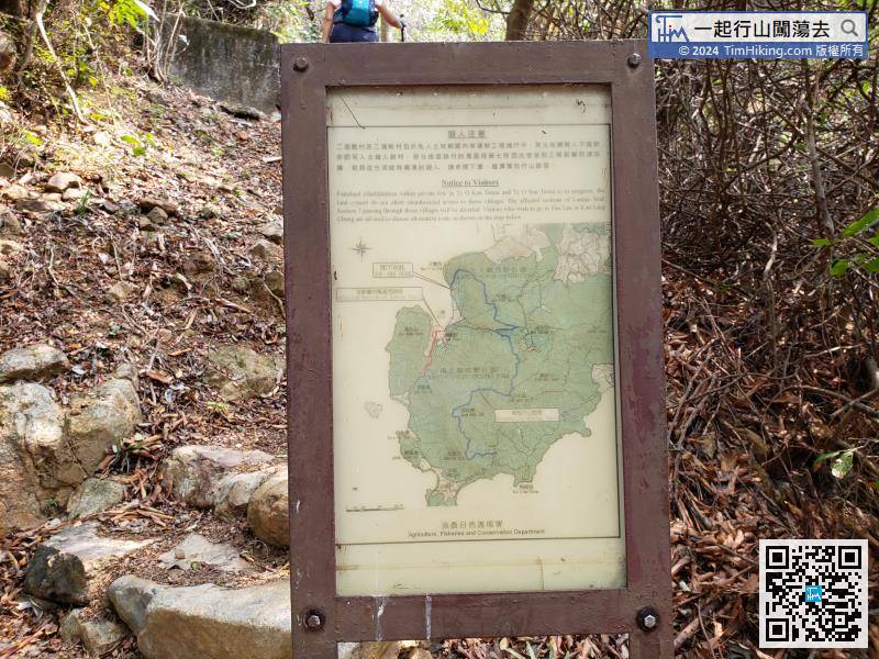
There is a bulletin board at the intersection, which shows that Yi O Village may be closed due to land rights issues. This route is an alternative trail that is suggested for hikers, also the route of this trip.
31︰Walk up the barren trail,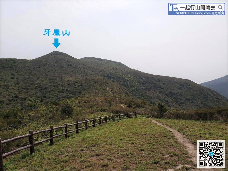
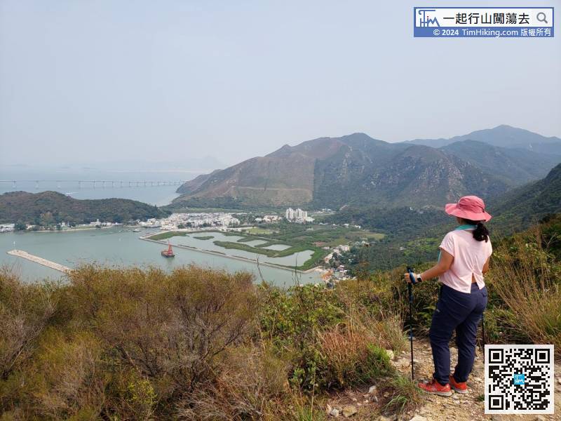
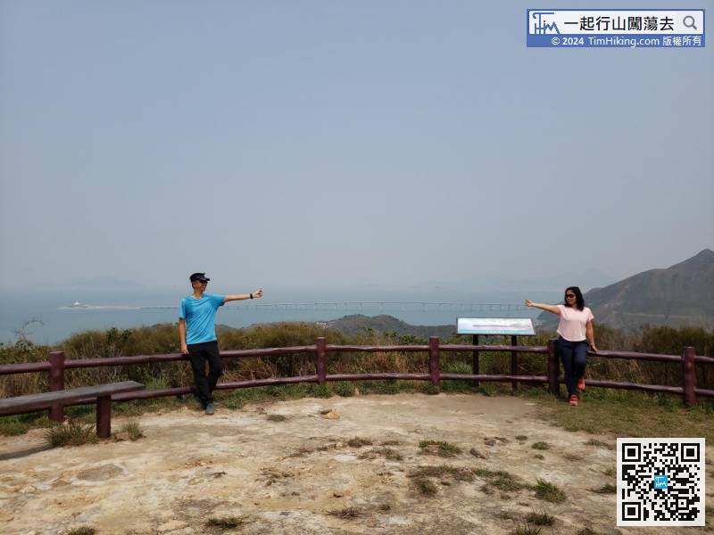
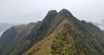
If looking up from Tai O Viewing Point, will see Nga Ying Shan.
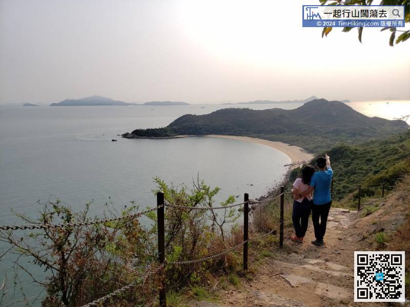
48︰the grass is also very bright and dazzling,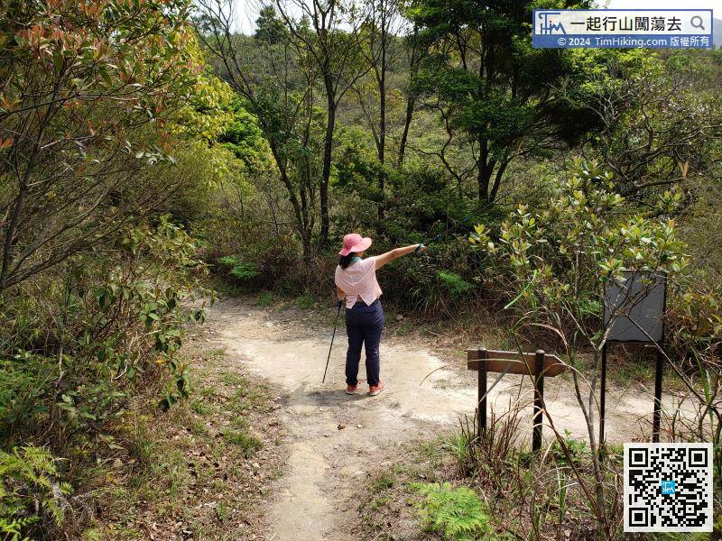 59︰When coming to Fan Shui Au,
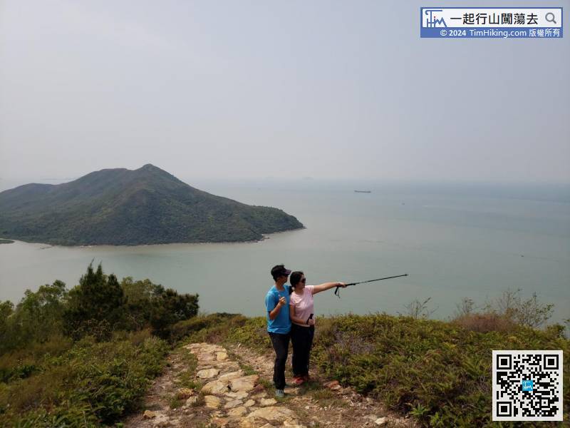
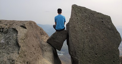
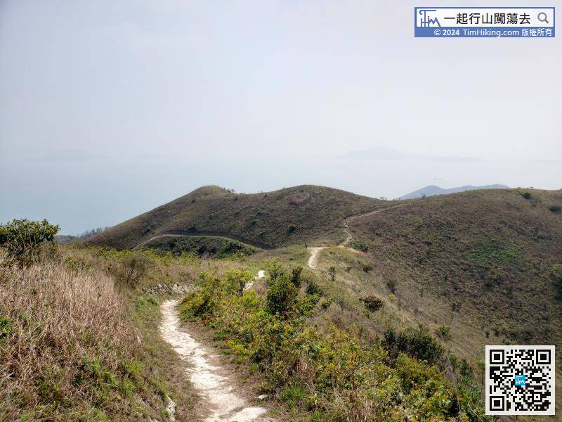 94︰which is the most beautiful place in the whole journey, below is Fan Lau Peninsula and Fan Lau Tung Wan.
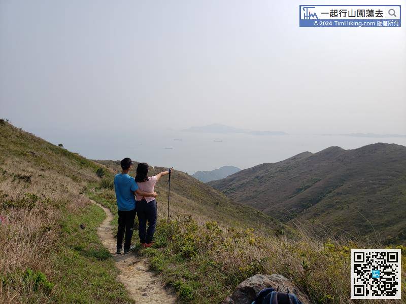 102︰few hikers.
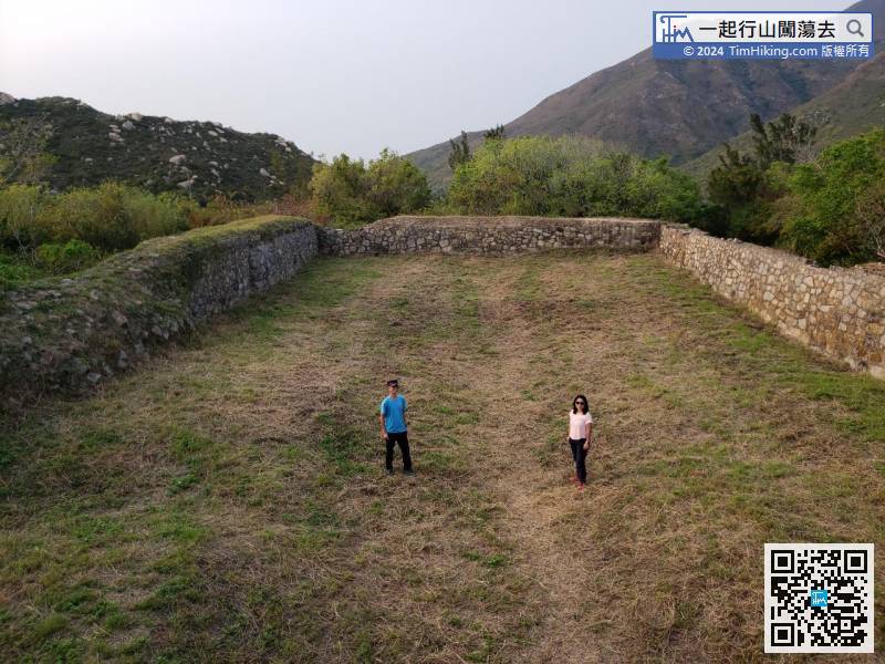
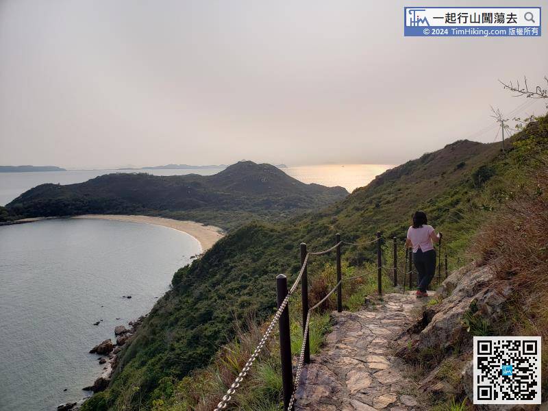 113︰The fort area is quite large, with more than 10,000 square feet.
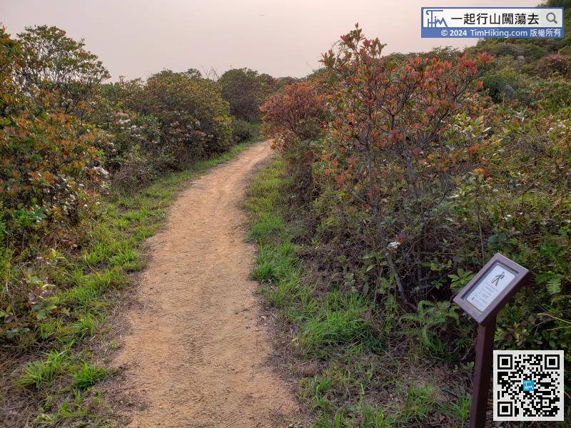 122︰and soon will come to Fan Lau Sai Wan.
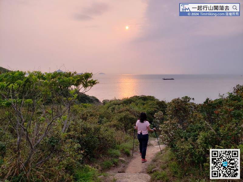 135︰Soon will arrive at Yi O Village, go straight through the Lantau Trail.
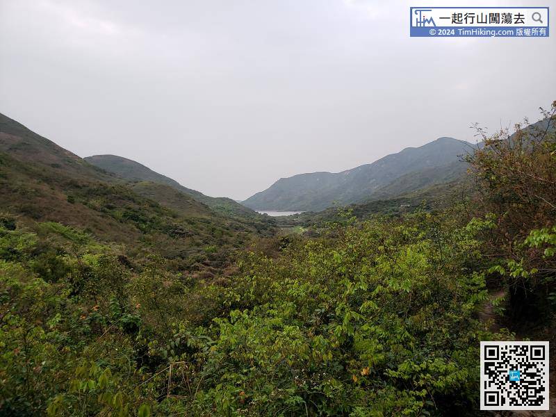
After a while, should be able to overlook the farmland of Yi O,


