


 Recommend YouTube


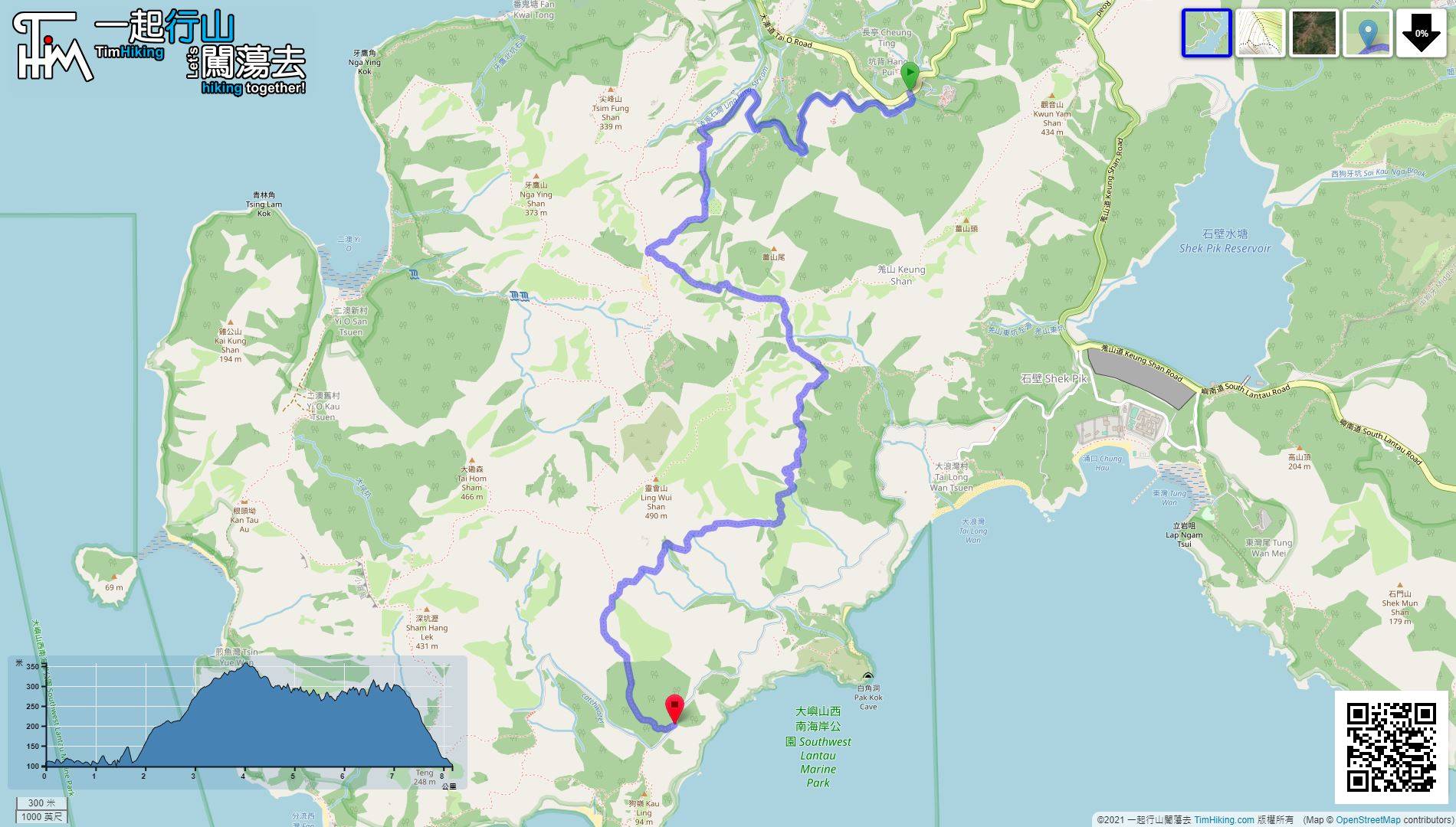
| View : |  | ||
| Difficulty : |  | ||
| Path : | |||
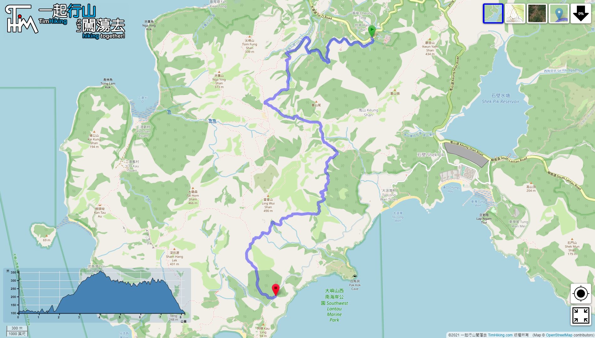
| Length : | 8.2km | ||
| Time : | 3hours | ||
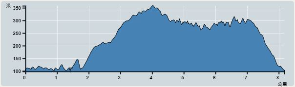 | |
| Ascent : 334m | Descent : 322m |
| Max : 358m | Min : 98m |
| (The accuracy of elevation is +/-30m) | |


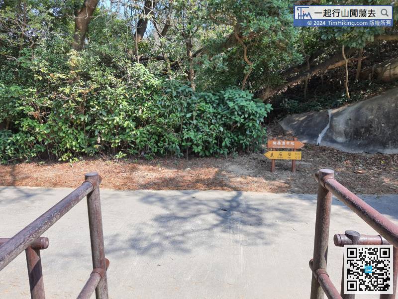
 5︰and take a look at the bulletin board
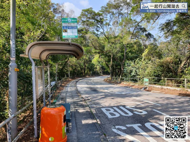
The starting point is at Lung Chai. If you are departing from Tung Chung, you can take the Lantau Island bus 11 and get off at Lung Chai Station.
16︰Turn left and go up the slope.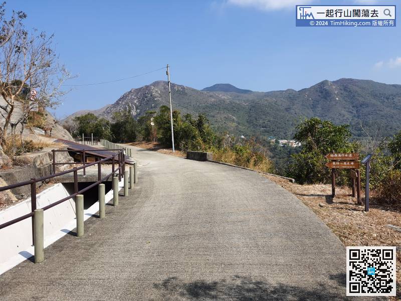
Go until you see the sign, which is the position of the distance post C1313.
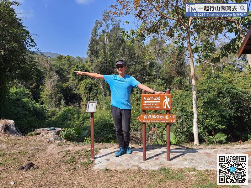
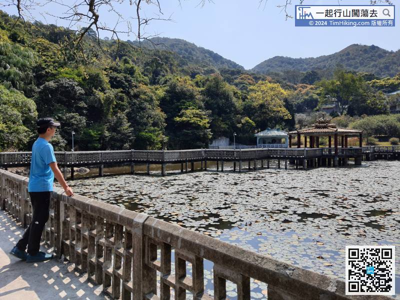
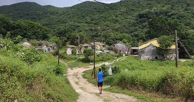
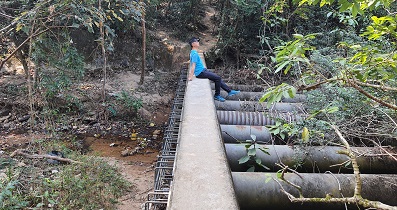
31︰On the left is the Kau Kuk Bridge in Ng Yuen.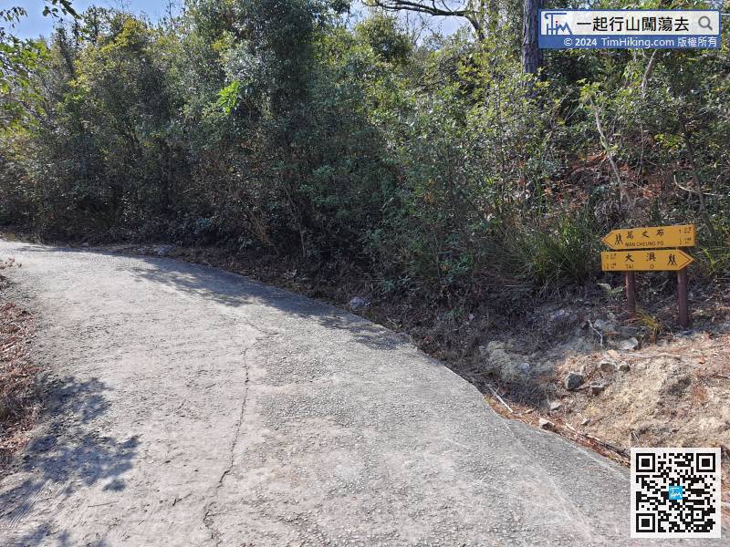
There are many signs along the way. The yellow signs are the exclusive colour of Lantau Trail, which makes it easier for hikers to distinguish.
38︰The middle section of the steps is lined with beautiful Paper Bark Trees.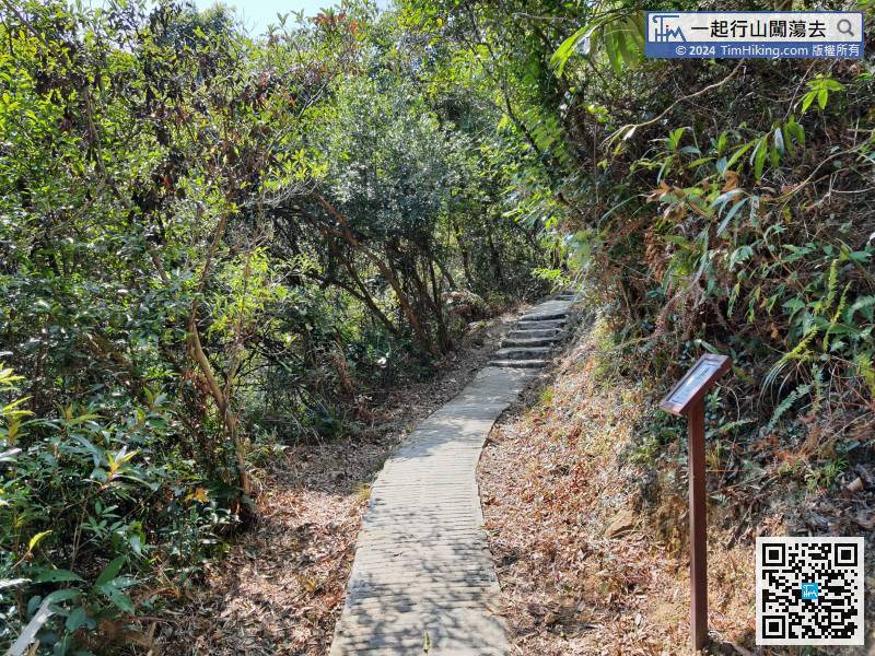 52︰Soon reaching another intersection,
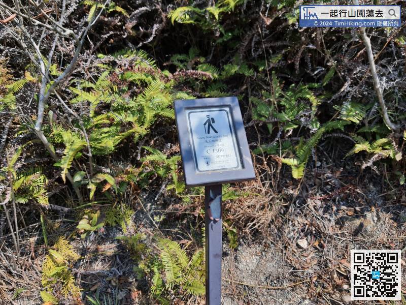 61︰Soon, encounter a bifurcated road.
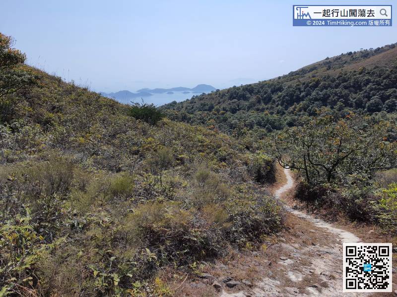
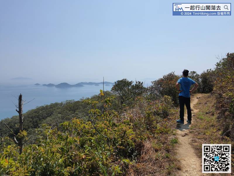
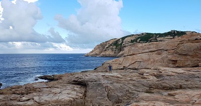
Next, stepping forward to the coast, Soko Islands suddenly appeared in front,
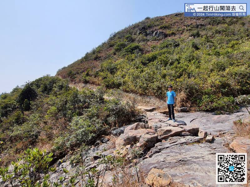
72︰The rare Soko Islands have become the focus of the whole journey, seems to forget Keung Shan because the Country Trail does not pass through the top of Keung Shan.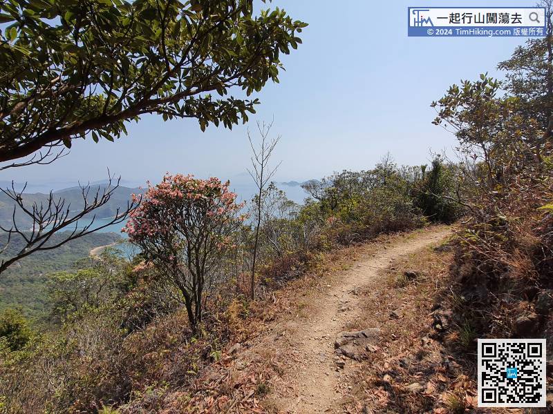 80︰can view the entire Soko Islands, too.
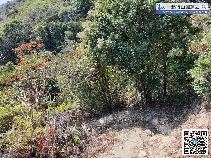
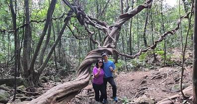
The trail at the end is no longer unremarkable, some of it descends sharply,
86︰the bifurcation is Fan Shui Au which is the last bifurcation,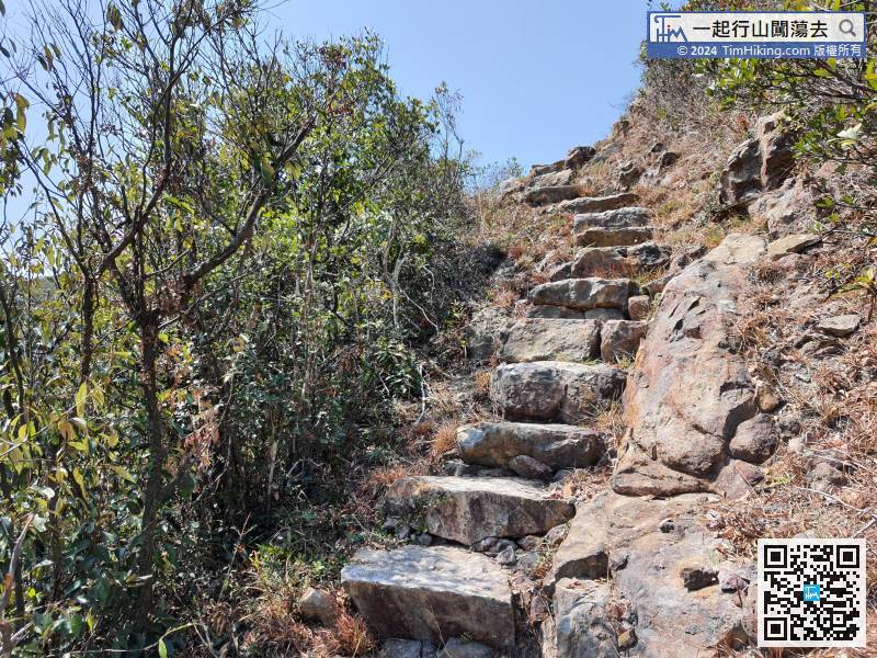


