


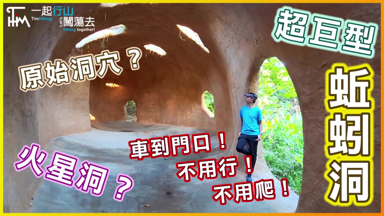
 Recommend YouTube

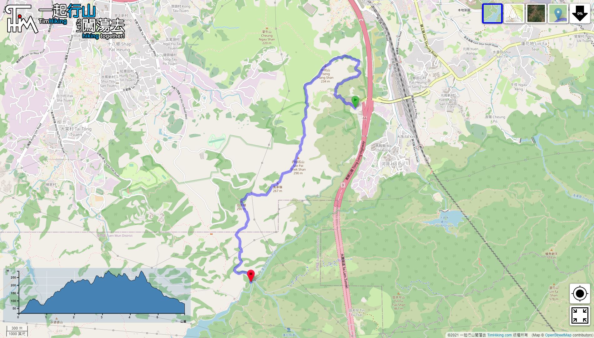

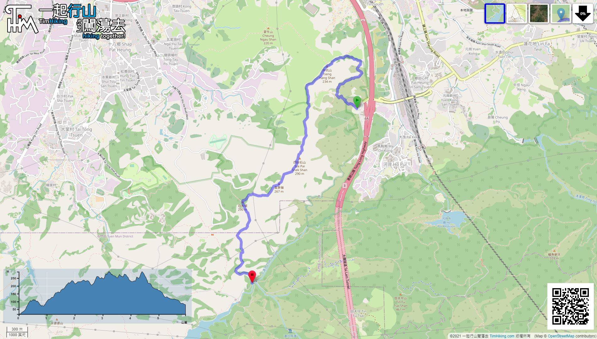
| View : |  | ||
| Difficulty : |  | ||
| Path : | |||
| Length : | 6km | ||
| Time : | 4hours | ||
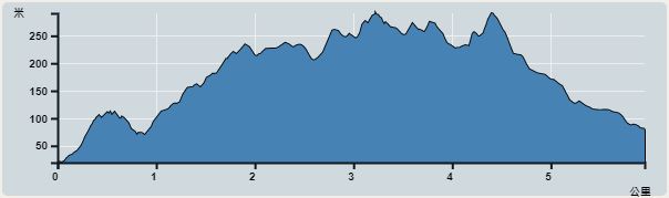 | |
| Ascent : 488m | Descent : 437m |
| Max : 269m | Min : 19m |
| (The accuracy of elevation is +/-30m) | |


 8︰will see a big concrete pavilion,
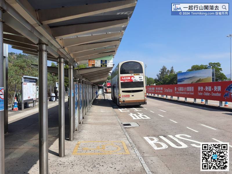
First of all, take any bus that passes through Tai Lam Tunnel and get off at Tai Lam Tunnel Interchange,
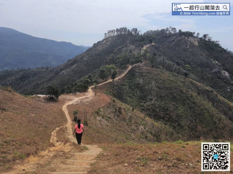
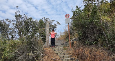
20︰will come to a bifurcation,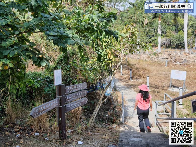
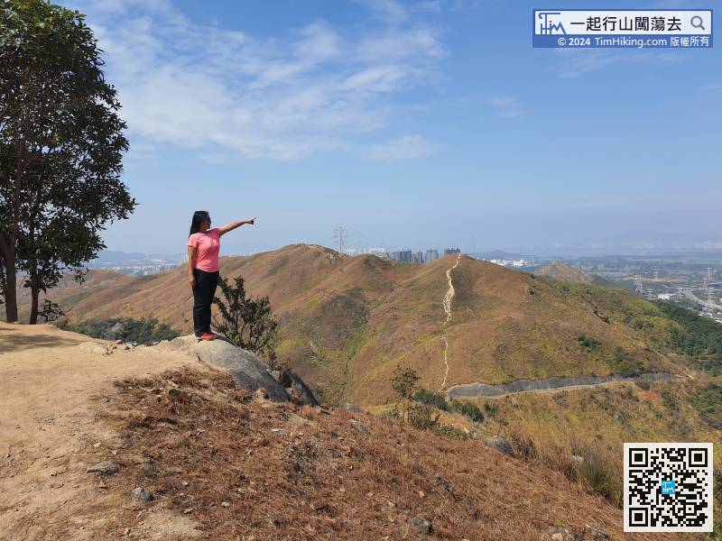
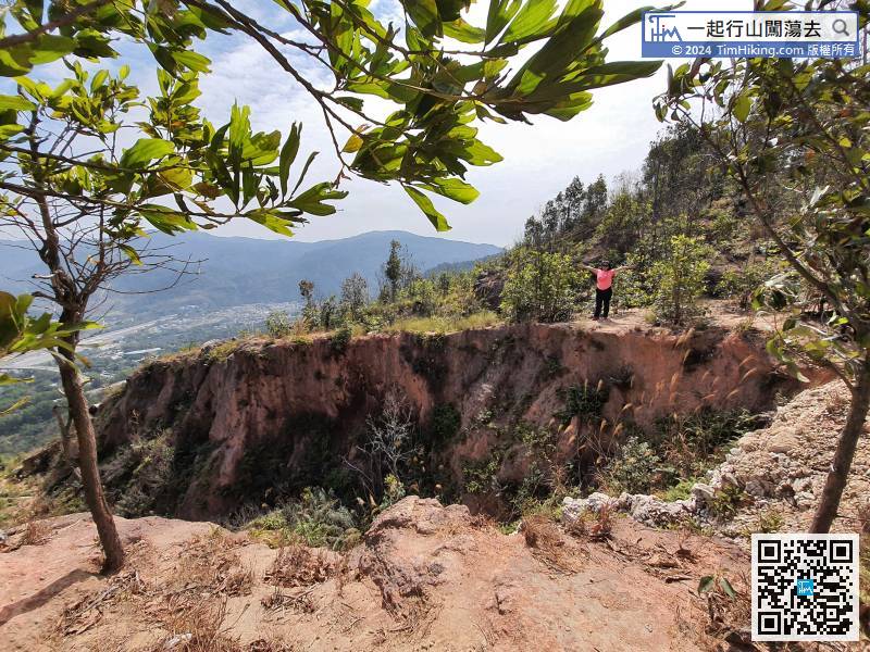
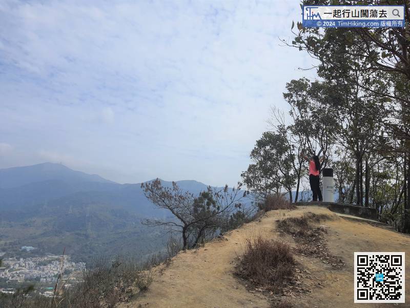
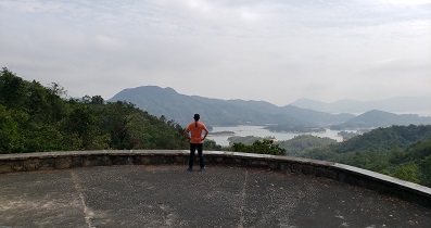
 34︰The scenery along the way can overlook the Pat Heung flatland,
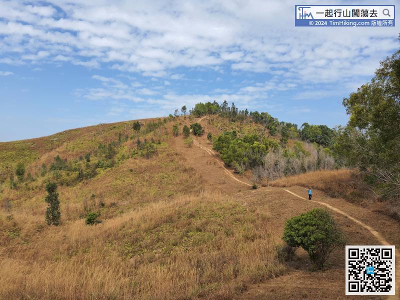
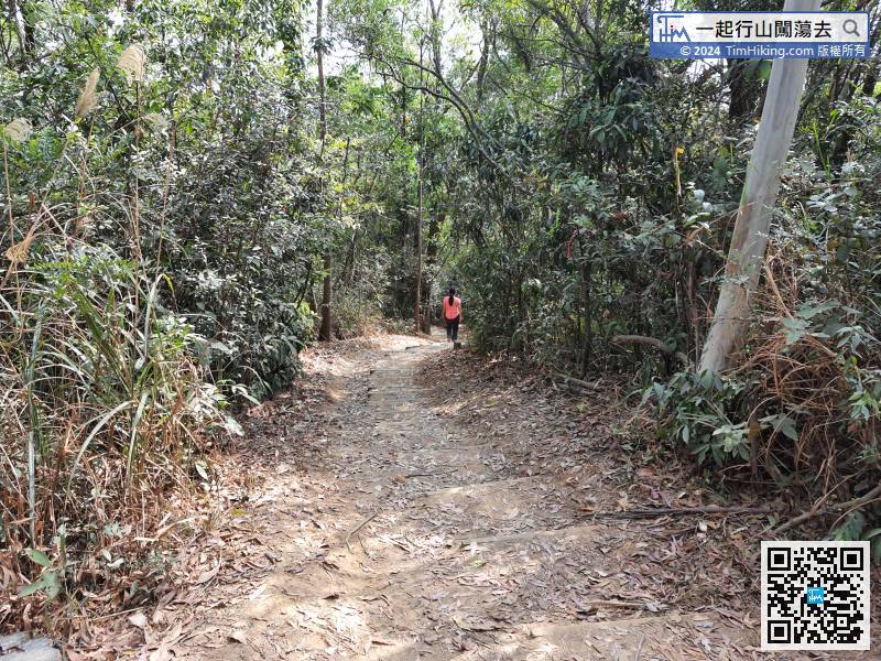
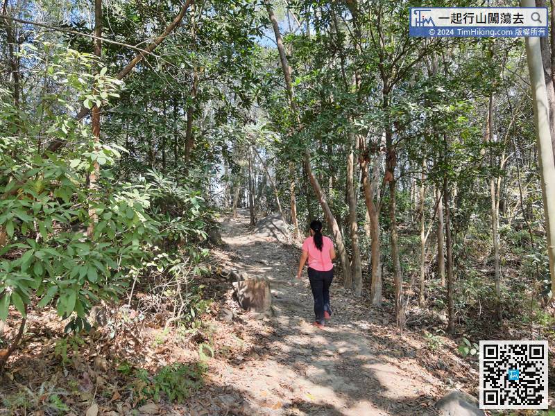 42︰The mountain trail gradually becomes open scenery,
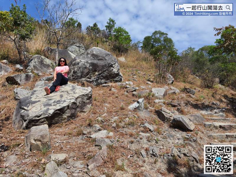
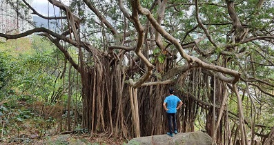
 53︰The downhill is not a steep slope
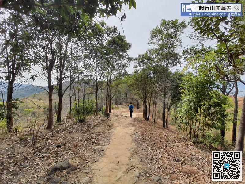 57︰and the second slope starts.
 70︰Up to the small flat land is Wong Mau Ling,
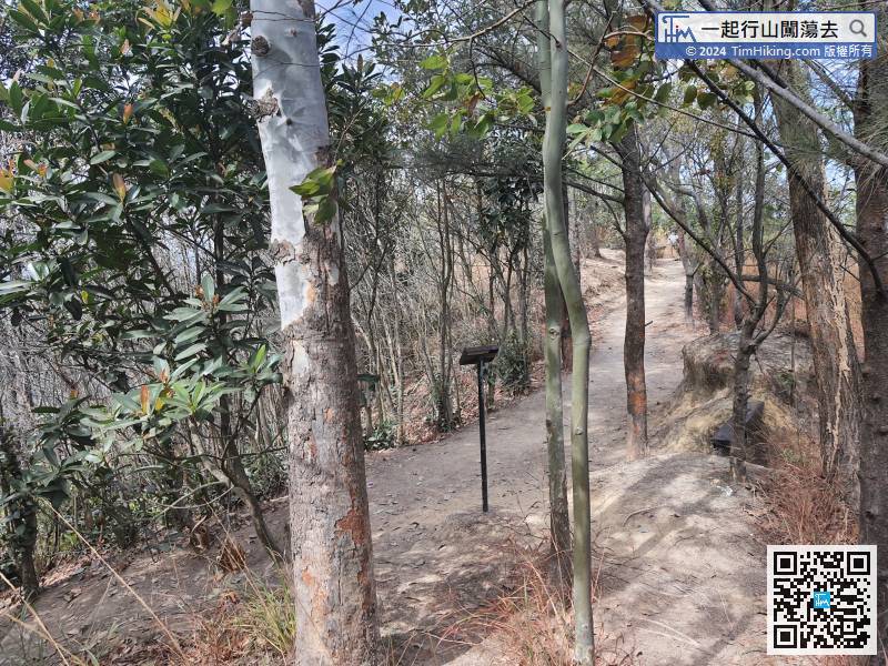
After a short break again, turn back to the bifurcation, and turn left to downhill.
78︰it takes about 10 minutes to climb to the top. The top of the mountain is located in the jungle. There are signs and small wooden benches, but there is no trigonometrical station.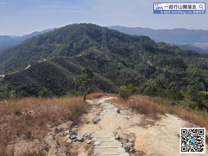


