


 Recommend YouTube


| View : |  | ||
| Difficulty : |  | ||
| Path : | |||
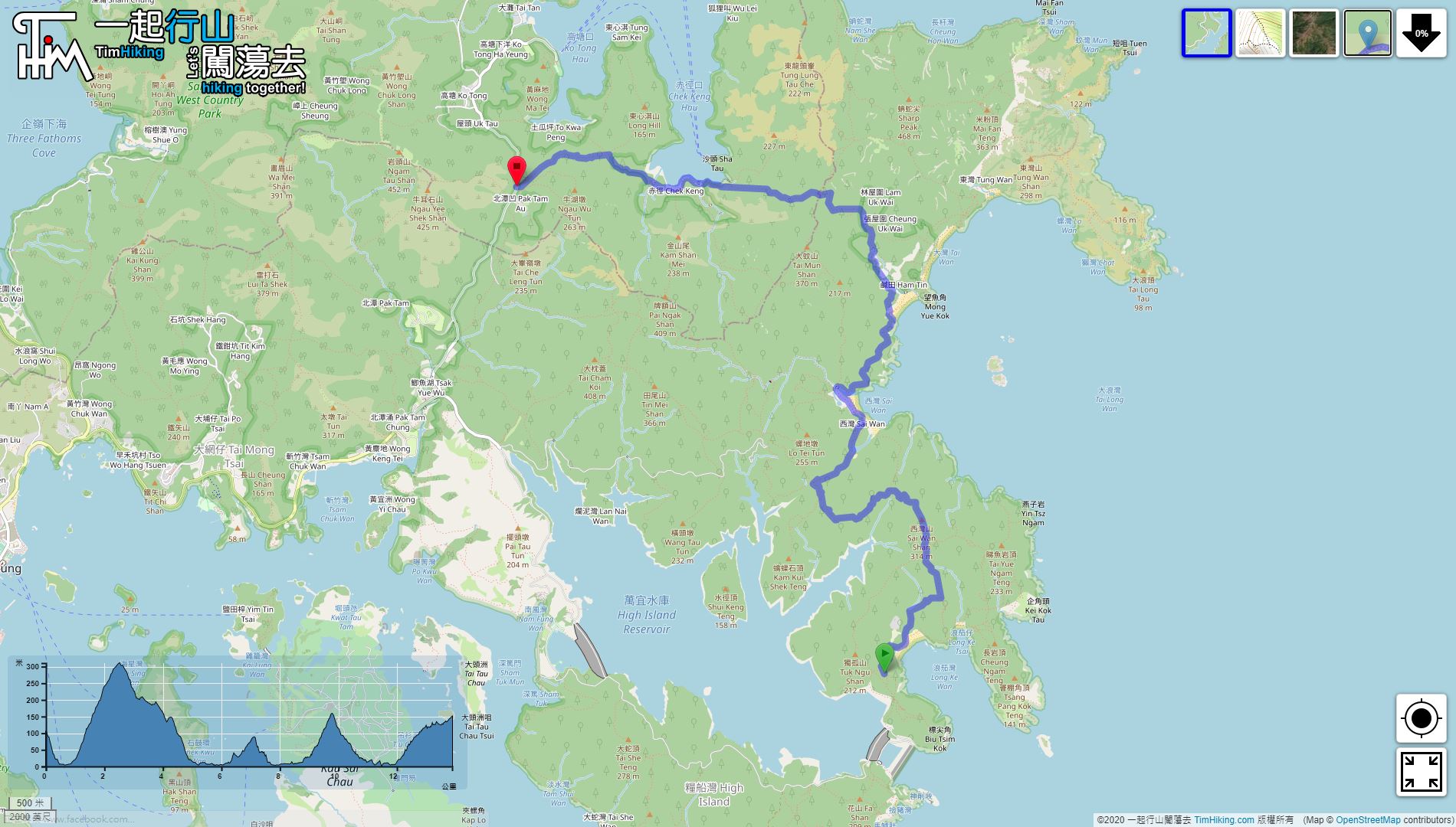
| Length : | 13.9km | ||
| Time : | 5hours | ||
| 【 Long Ke Wan Campsite 】 | |||
| Toilet : | Outhouse | ||
| Water : | Stream Water | ||
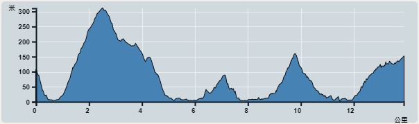 | |
| Ascent : 888m | Descent : 833m |
| Max : 311m | Min : 0m |
| (The accuracy of elevation is +/-30m) | |

 San Wan Store
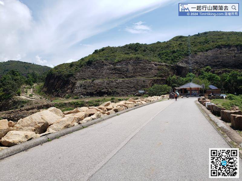
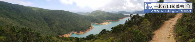
After getting off, will see High Island Reservoir East Dam. There is a large pavilion with a public toilet next to it, ready to go immediately.
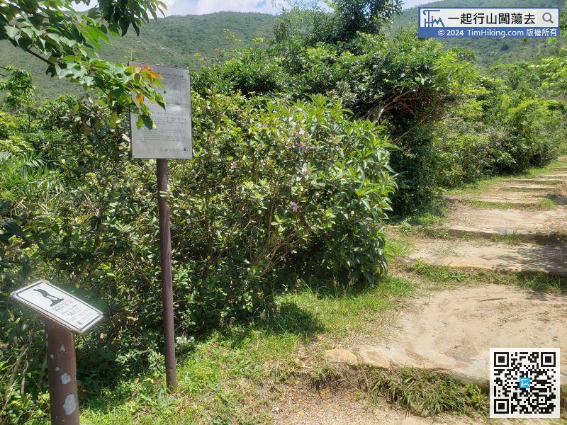
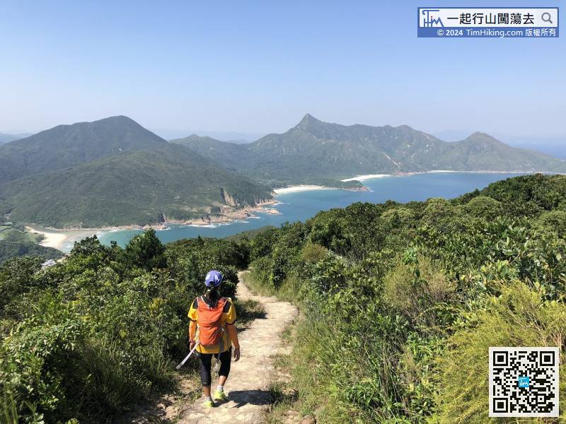
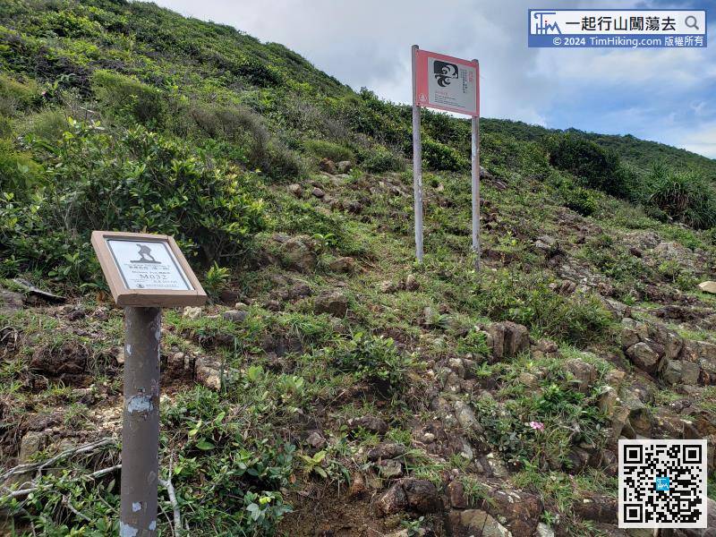
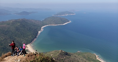
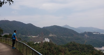
Leaving the sea level and starting to climb Sai Wan Shan, is also the most difficult part of the whole journey.
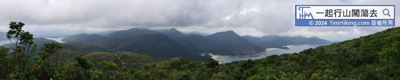
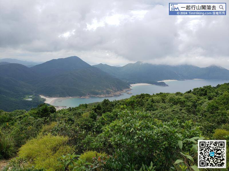
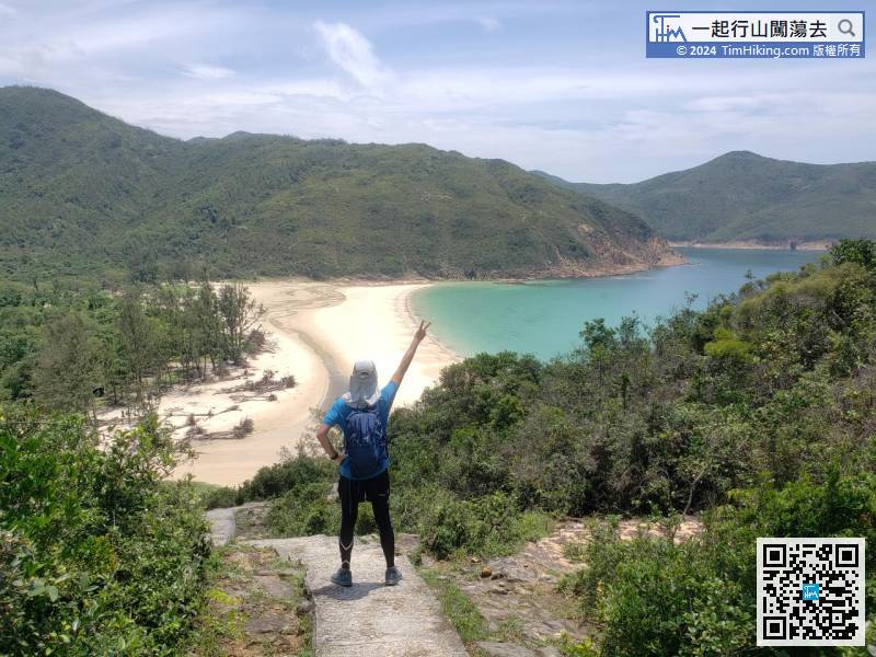
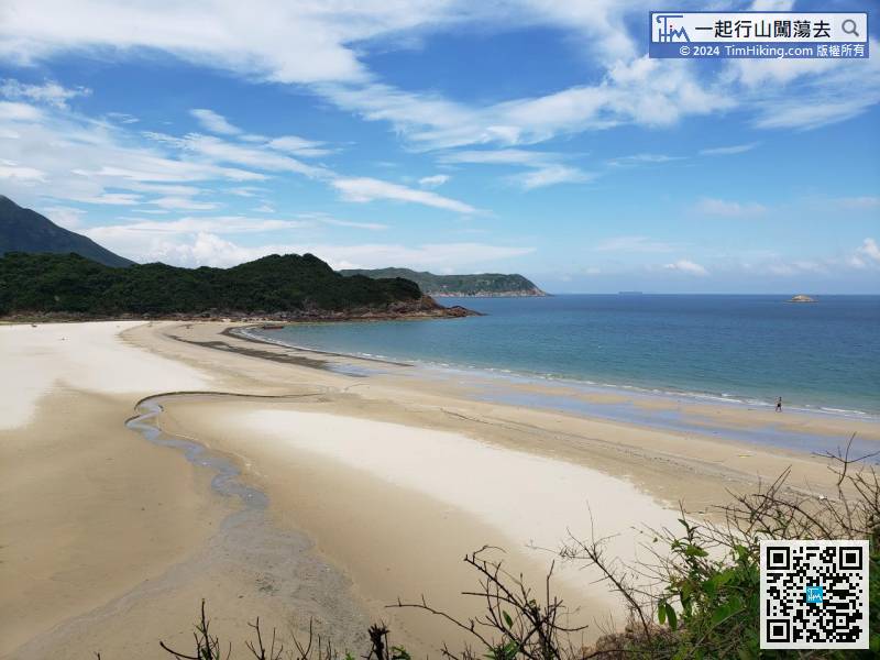
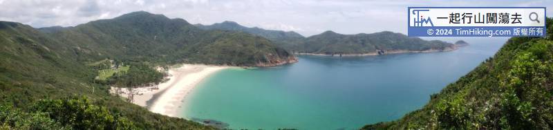
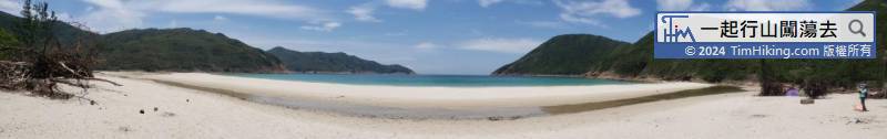
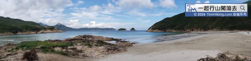
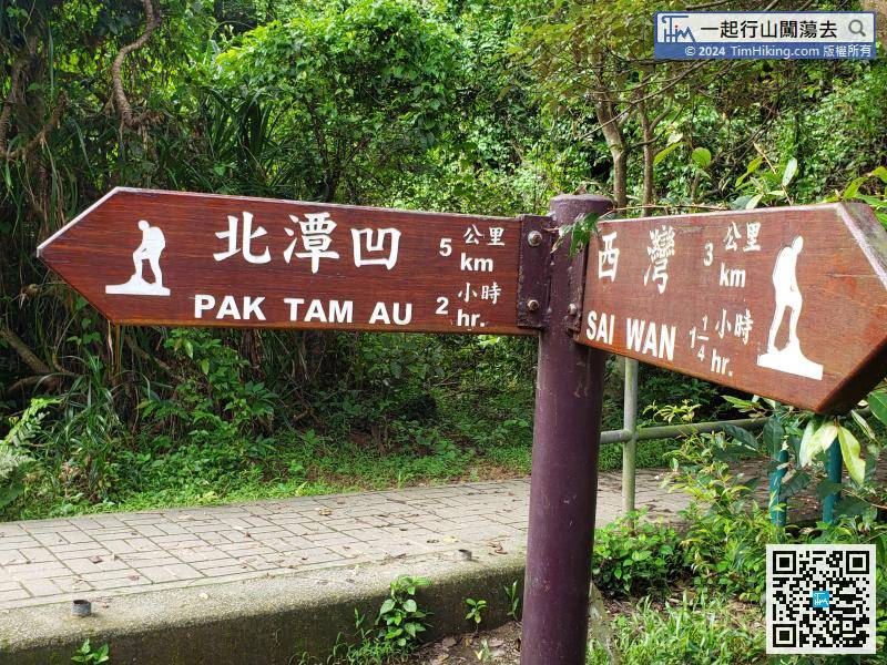
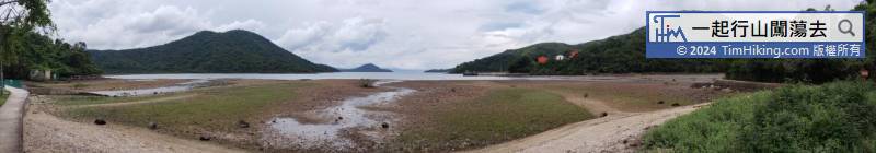
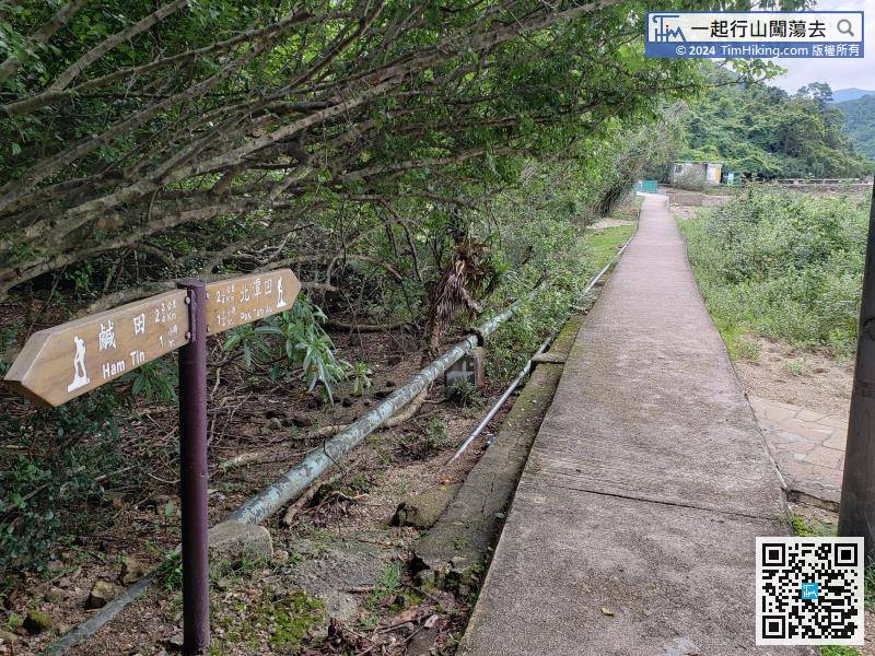
Next is the downhill section, along the way can see Four Wan (San Wan, Ham Tin Wan, Tai Wan, Tung Wan), One Tsim (Sharp Peak).
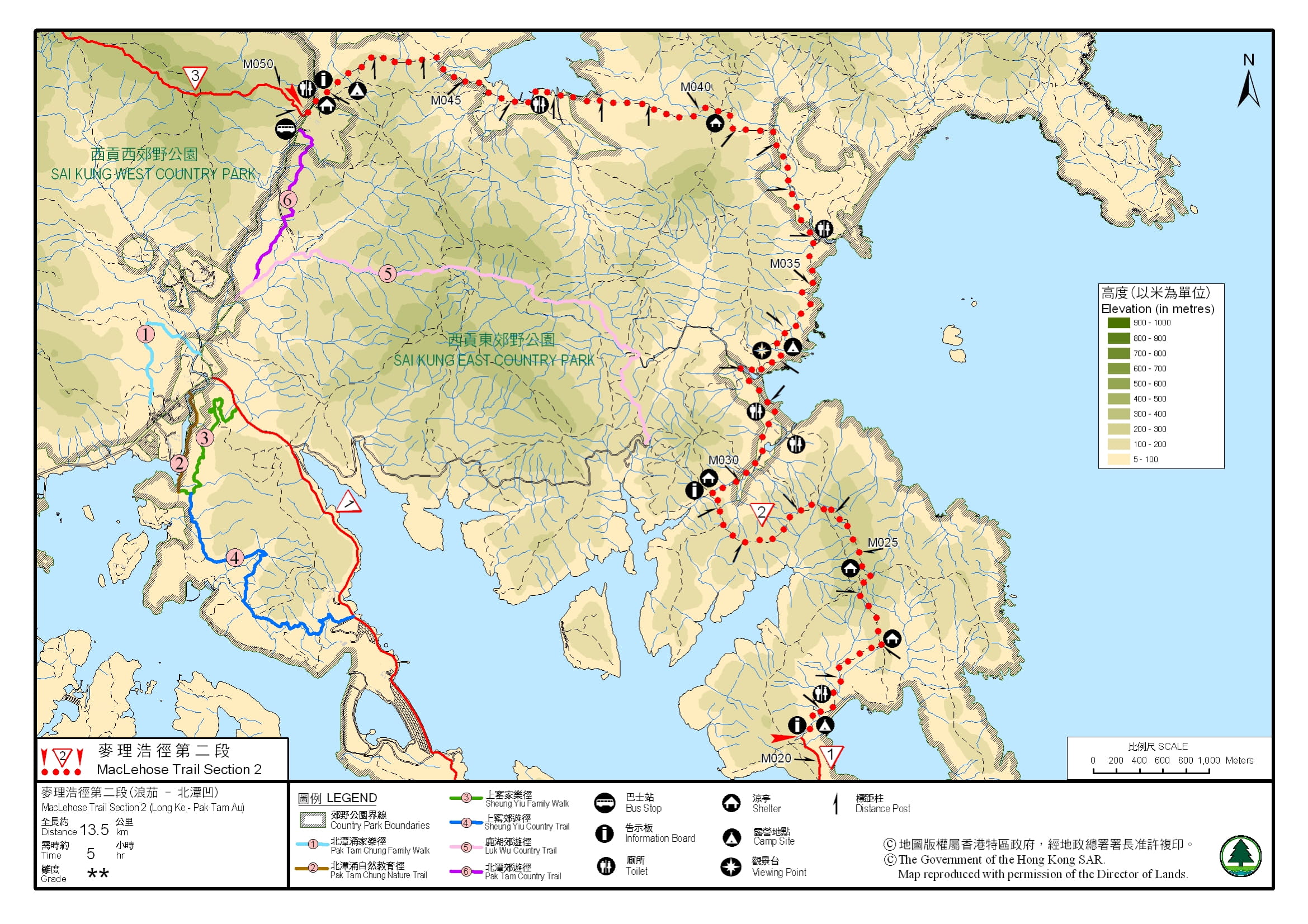
Official Map


