


 Recommend YouTube


| View : |  | ||
| Difficulty : |  | ||
| Path : | |||
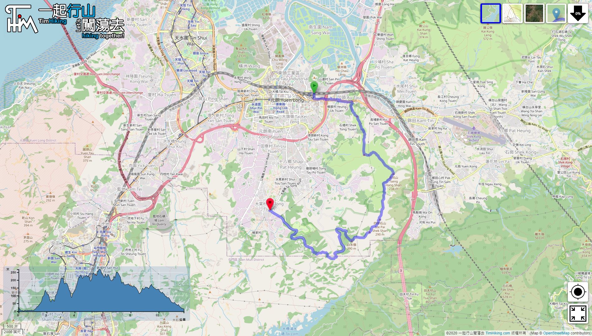
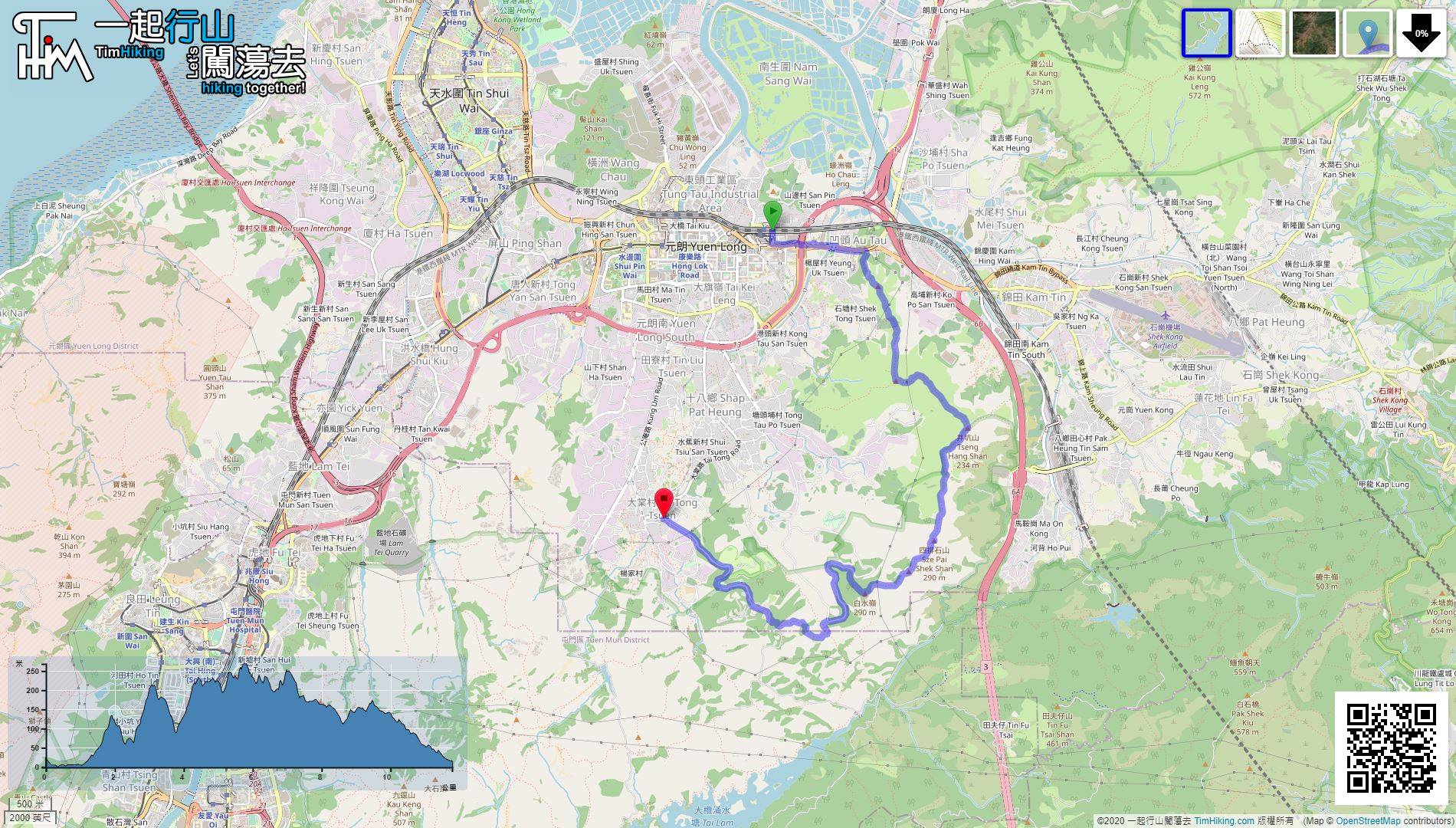
| Length : | 11.8km | ||
| Time : | 5hours | ||
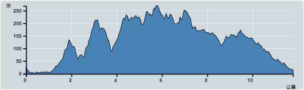 | |
| Ascent : 778m | Descent : 768m |
| Max : 269m | Min : 0m |
| (The accuracy of elevation is +/-30m) | |


 Tai Tong Store

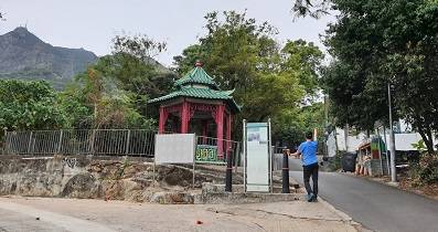
Starting from Yuen Long this time, take the MTR and leave at Exit H,

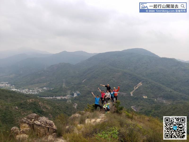
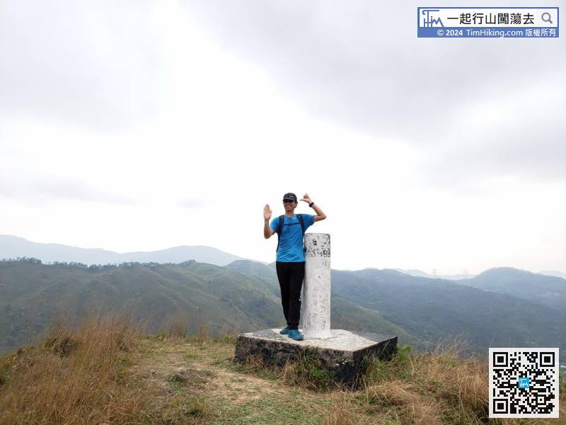
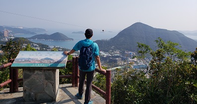
Starting from going up the mountain, it only takes half an hour to reach the top of the first mountain. It is quite satisfying.

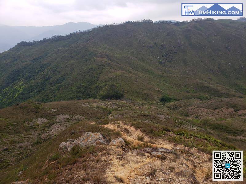
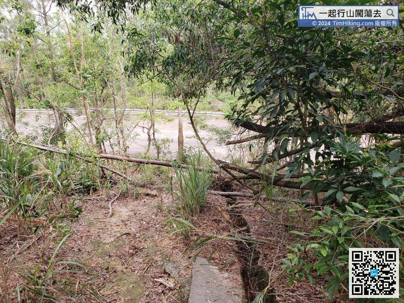
Next is the section of floating sand and gravel.

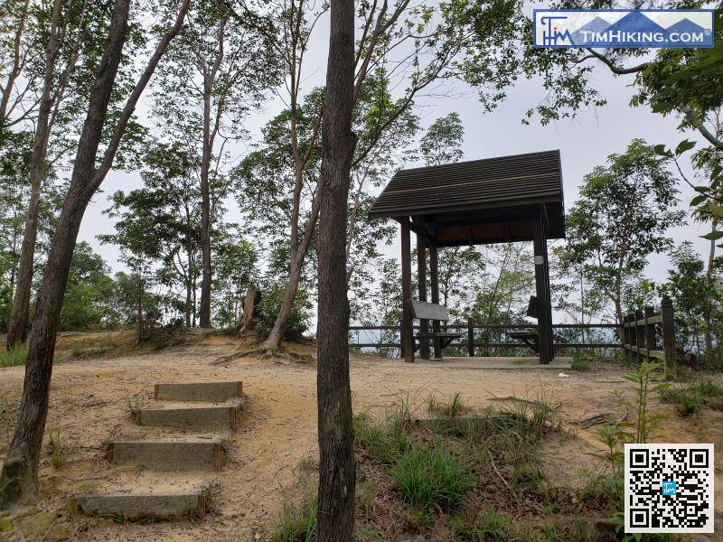
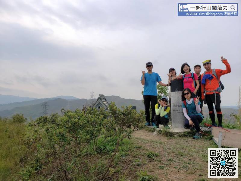
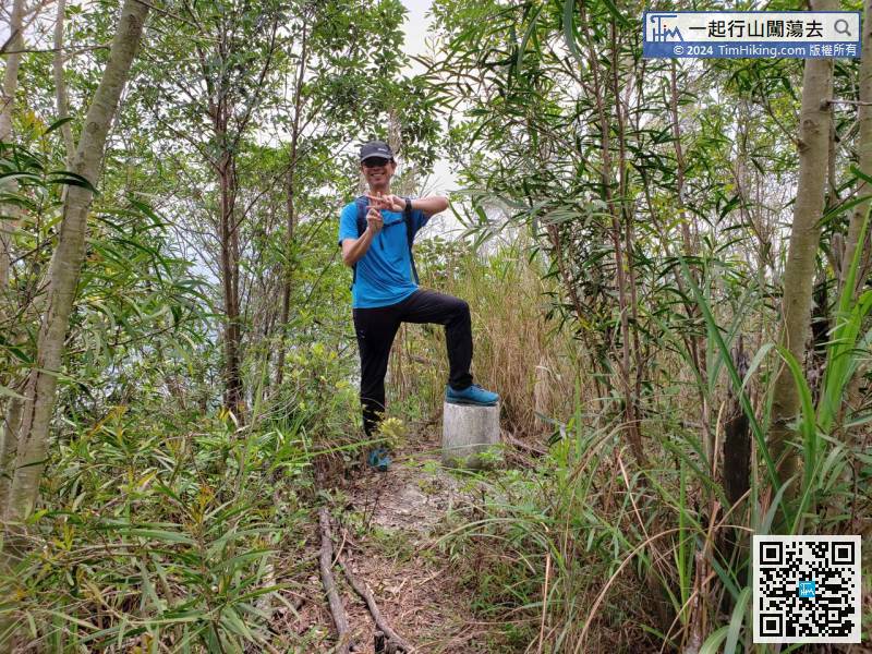
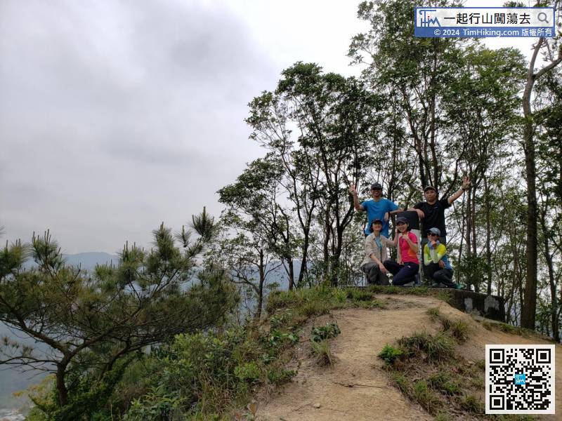
Go up to the top of the mountain, after passing the small pavilion,


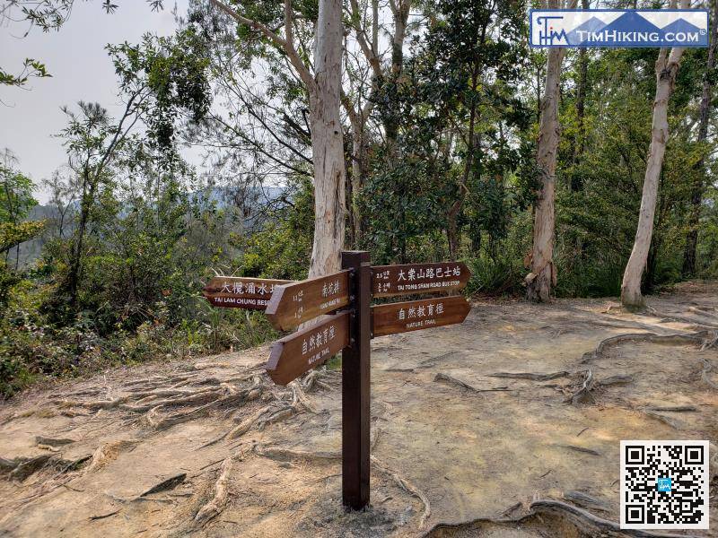
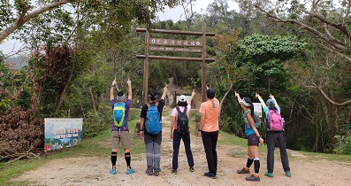
When encountering a bifurcation, head towards the Tai Tong Mountain Road bus stop,


